Elevation map of Tooele County, UT, USA
Location: United States > Utah >
Longitude: -113.00119
Latitude: 40.507092
Elevation: 1881m / 6171feet
Barometric Pressure: 81KPa
Elevation Map:
Satellite Map:
Related Photos:

Lion-o
Cedar Mountain Wild Horses
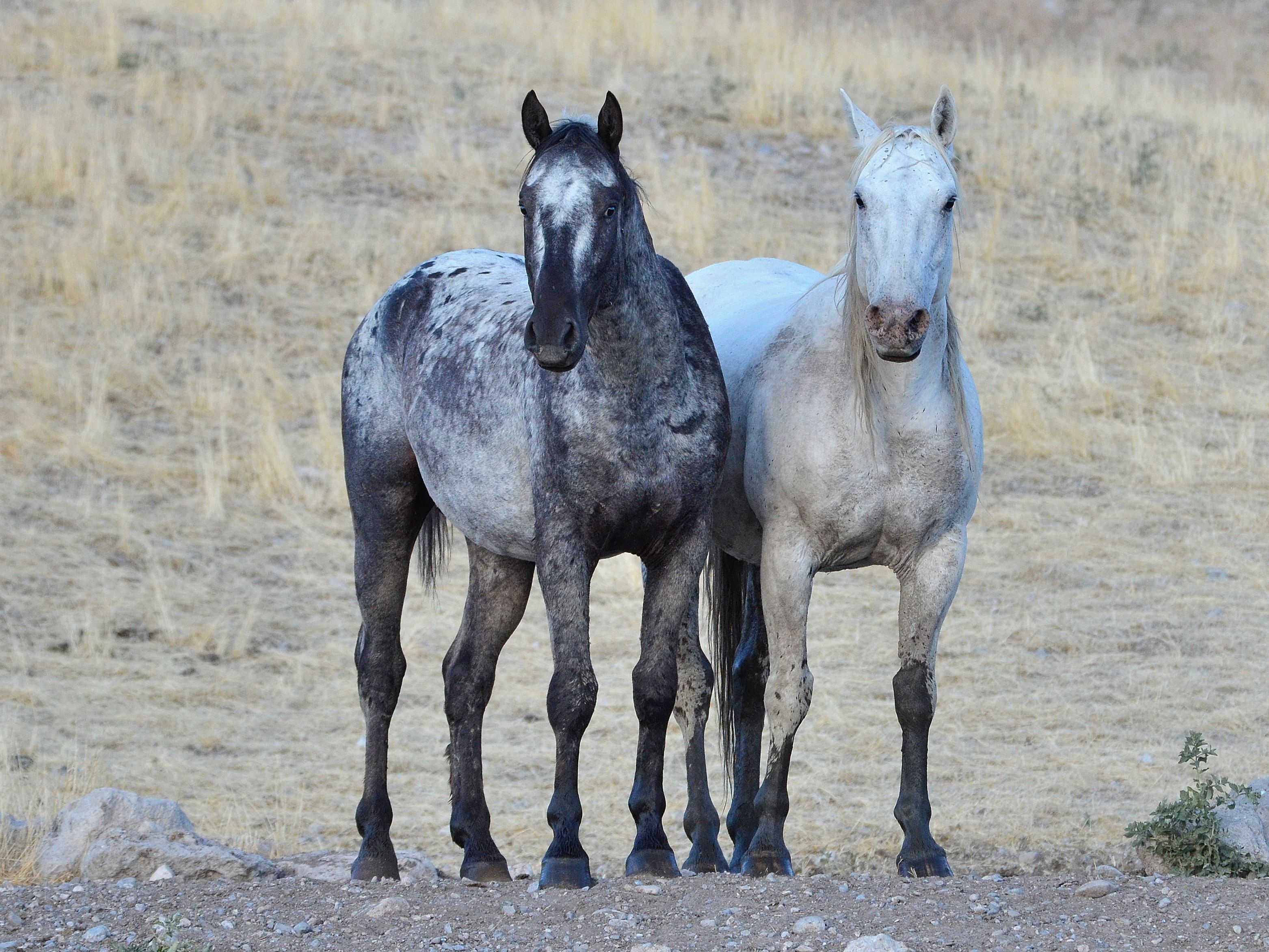
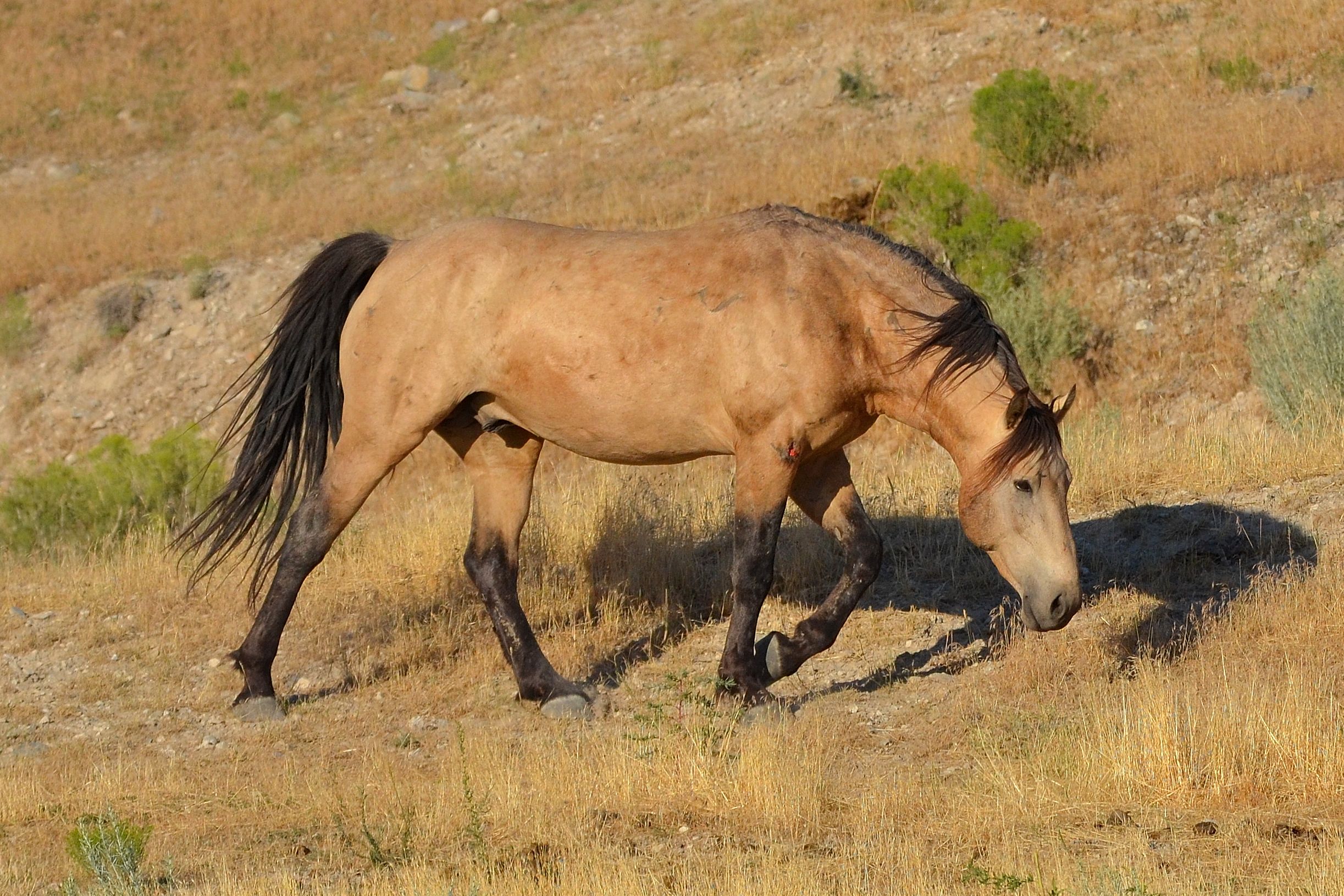
Wild Horse
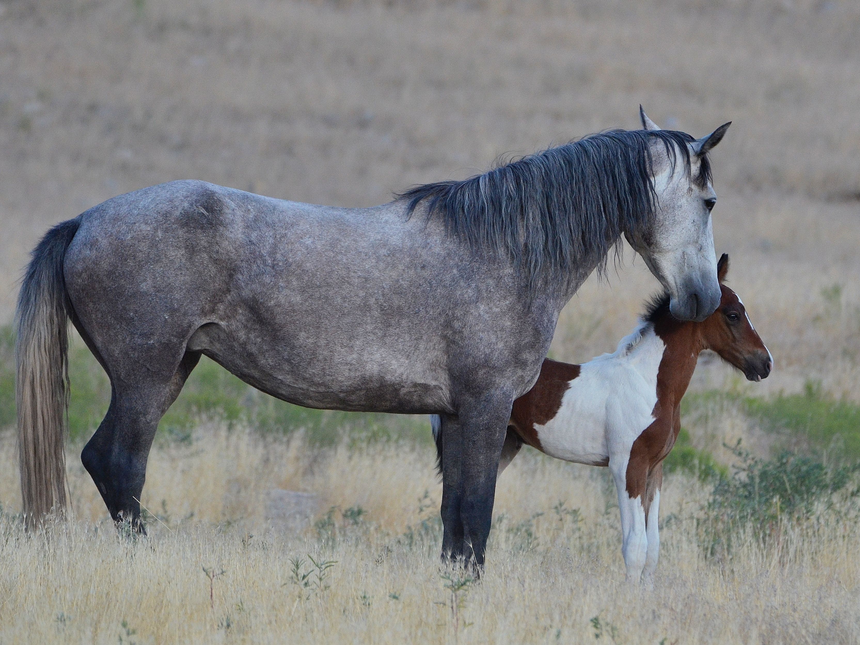
Must be the milk man's kid...
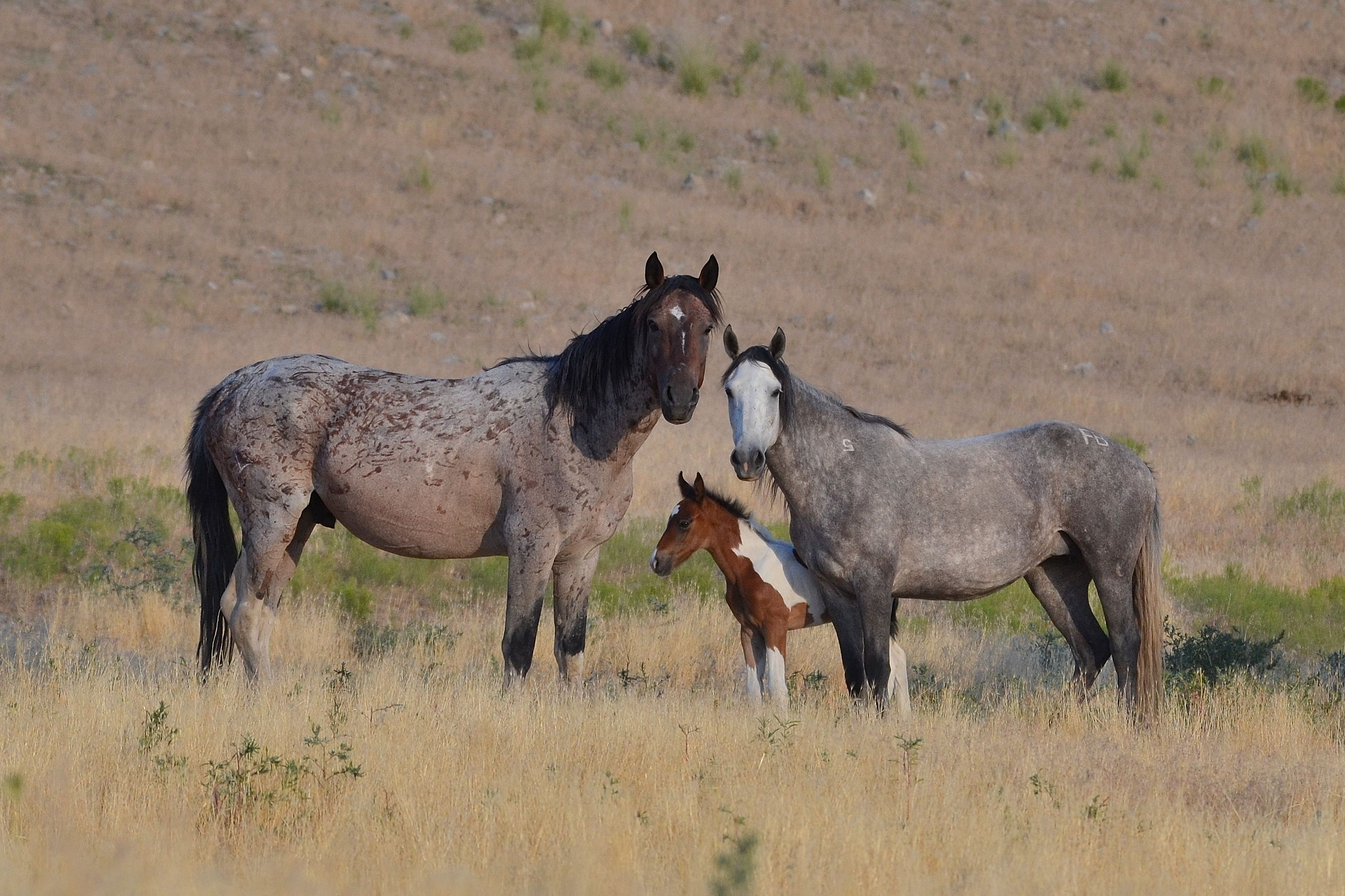
Family Portrait
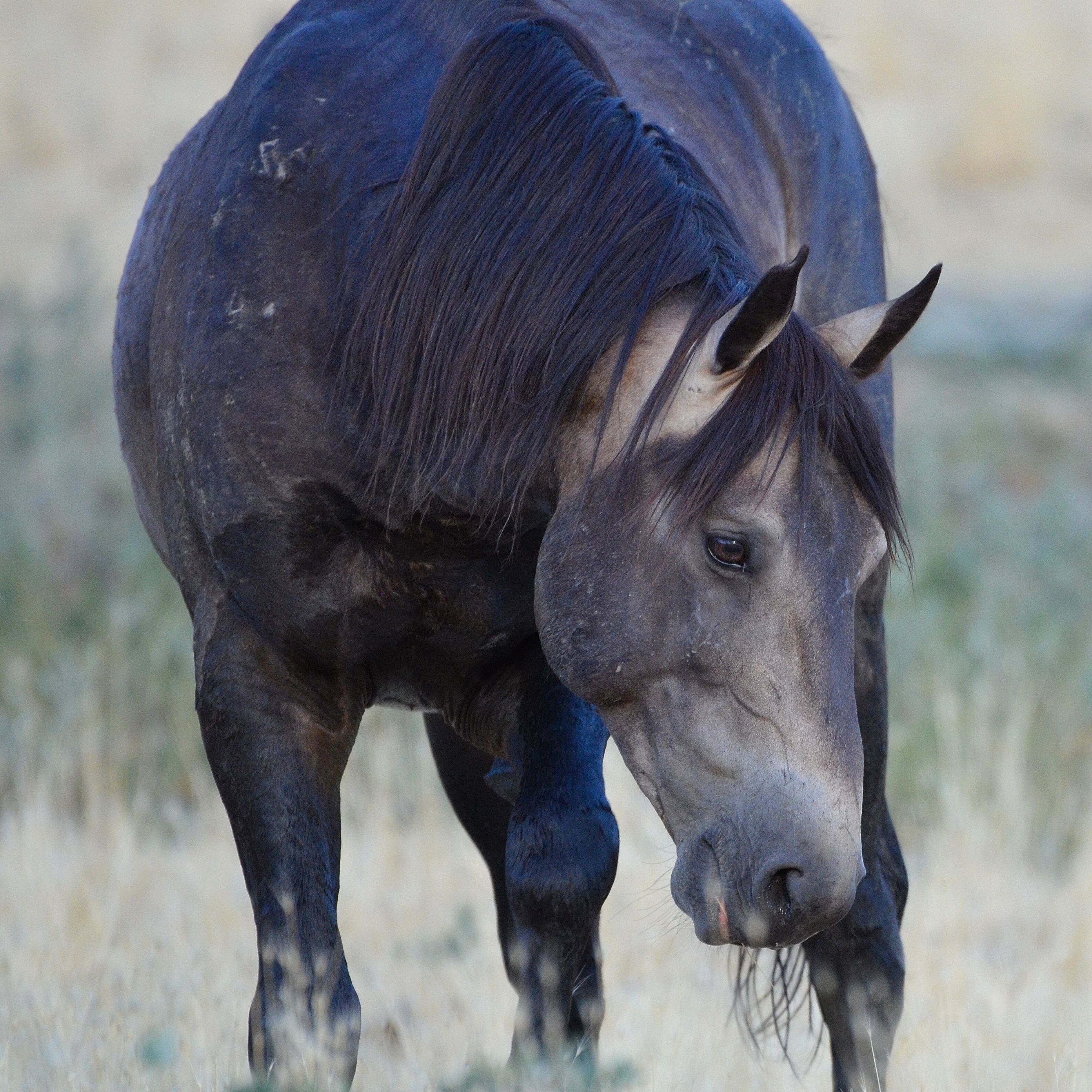
Battle Wound
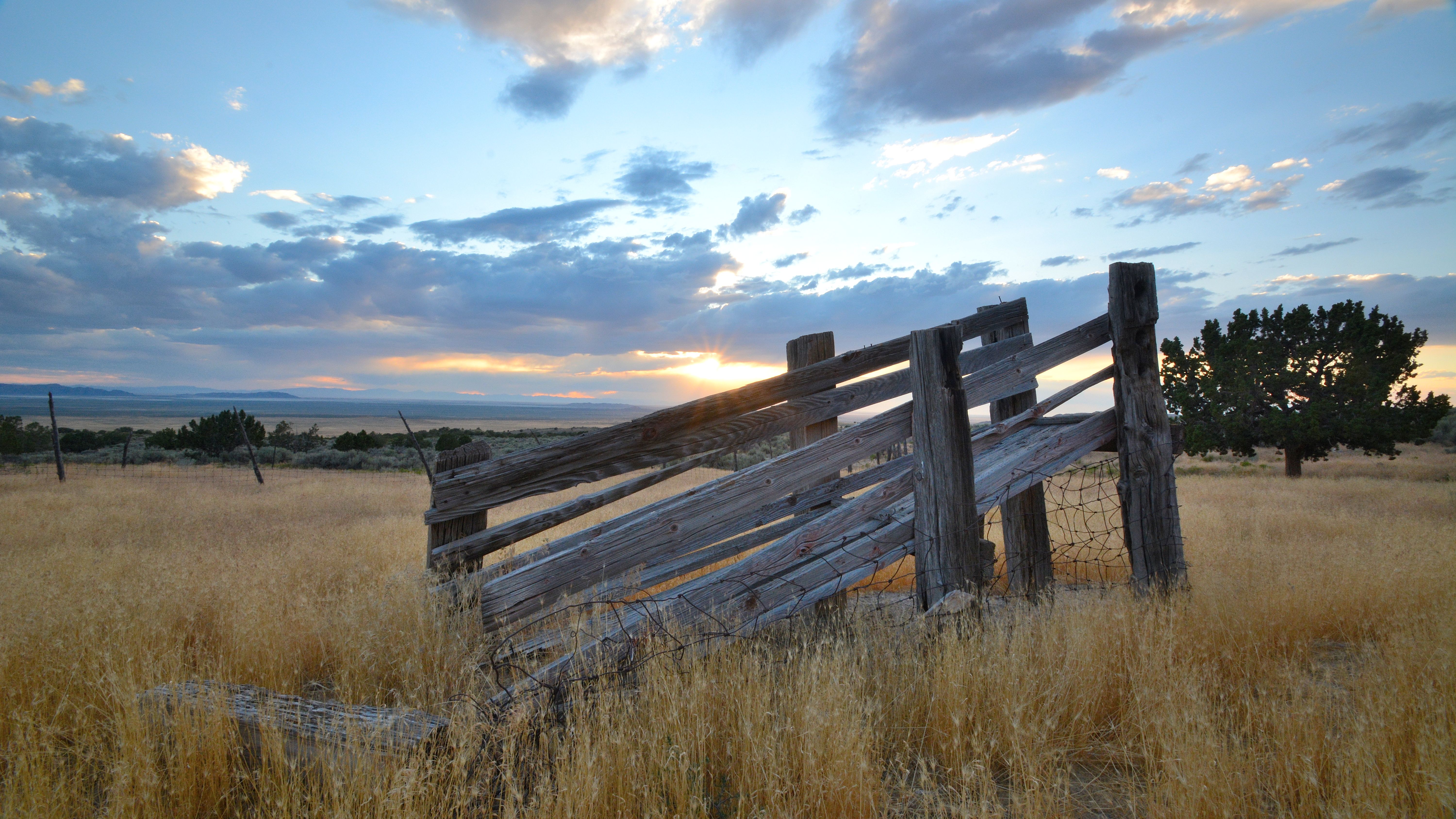
Cedar Mountain Homestead
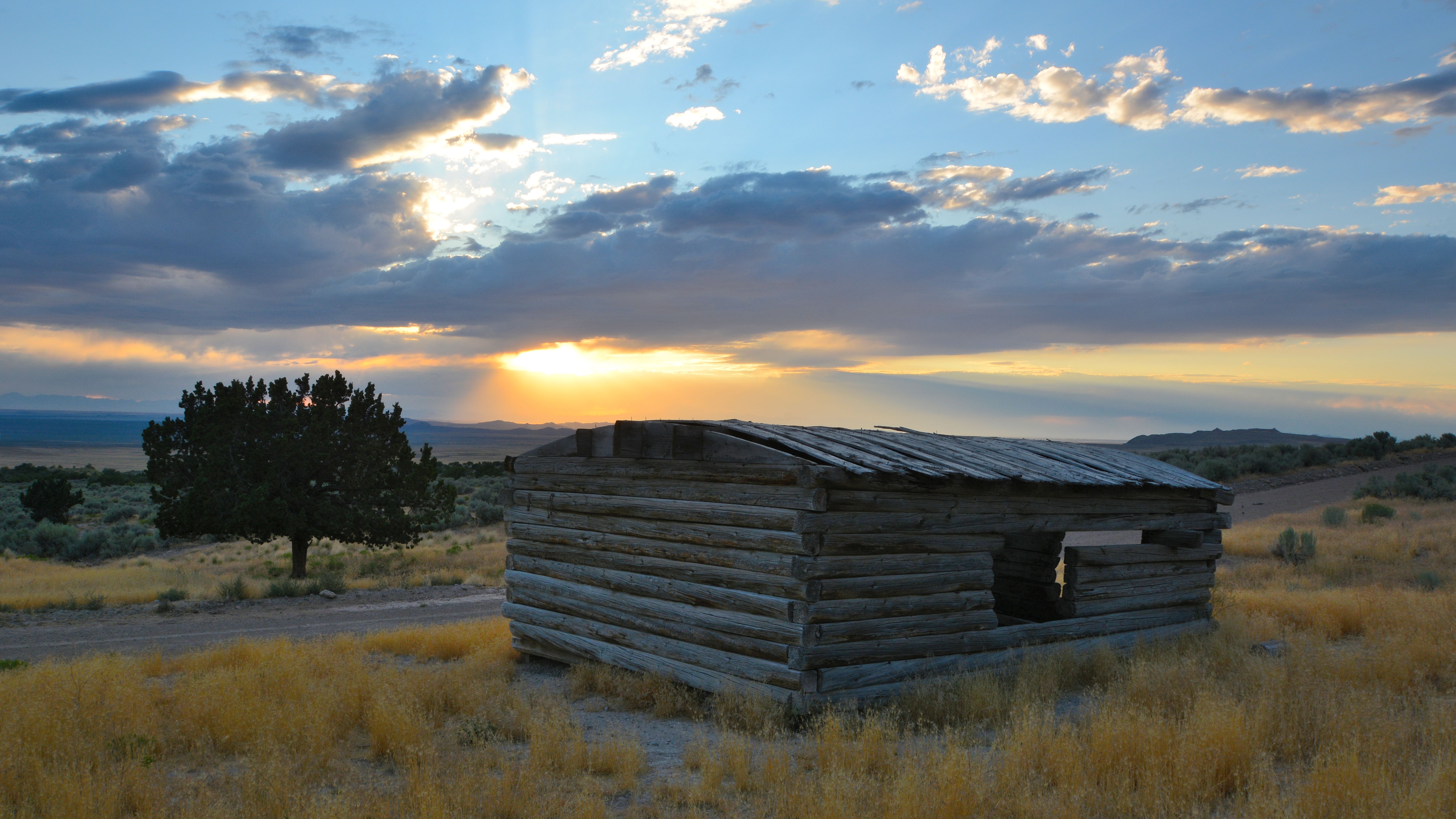
Cedar Mountain Homestead
Sundance12-2
Topographic Map of Tooele County, UT, USA
Find elevation by address:

Places in Tooele County, UT, USA:
Tooele
Rush Valley
Stansbury Park
Stockton
Grantsville
Knolls
Great Salt Lake Desert
Dugway
Erda
Delle
Bauer
Places near Tooele County, UT, USA:
Salt Lake City
Delle
Knolls
Deseret Peak
Dugway Proving Ground
Dugway
Utah Test And Training Range North
Great Salt Lake Desert
Utah Osr Land Co-op At Riverbed Ranch
Juab County
Bonneville Salt Flats
Rocky Peak
Delta, UT, USA
3060 W 2600 N St
Recent Searches:
- Elevation of Slanický ostrov, 01 Námestovo, Slovakia
- Elevation of Spaceport America, Co Rd A, Truth or Consequences, NM, USA
- Elevation of Warwick, RI, USA
- Elevation of Fern Rd, Whitmore, CA, USA
- Elevation of 62 Abbey St, Marshfield, MA, USA
- Elevation of Fernwood, Bradenton, FL, USA
- Elevation of Felindre, Swansea SA5 7LU, UK
- Elevation of Leyte Industrial Development Estate, Isabel, Leyte, Philippines
- Elevation of W Granada St, Tampa, FL, USA
- Elevation of Pykes Down, Ivybridge PL21 0BY, UK