Elevation of Dugway Proving Ground, Dugway, UT, USA
Location: United States > Utah > Tooele County > Dugway >
Longitude: -112.74440
Latitude: 40.2210533
Elevation: 1475m / 4839feet
Barometric Pressure: 85KPa
Elevation Map:
Satellite Map:
Related Photos:
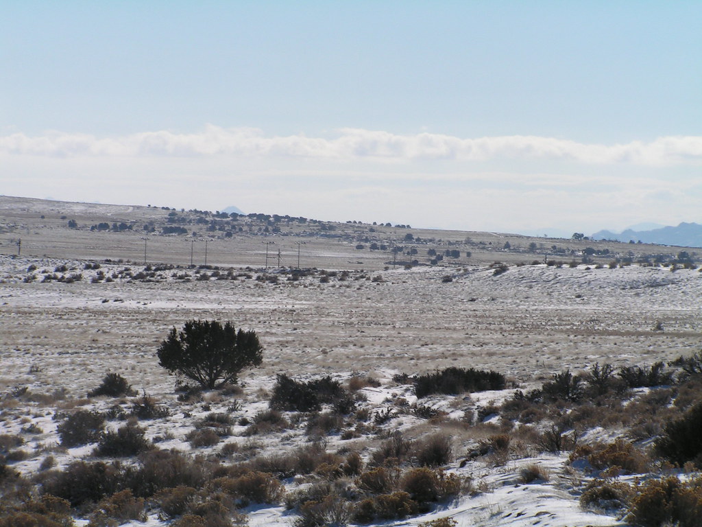
A big world out there
DSC_0001.JPG
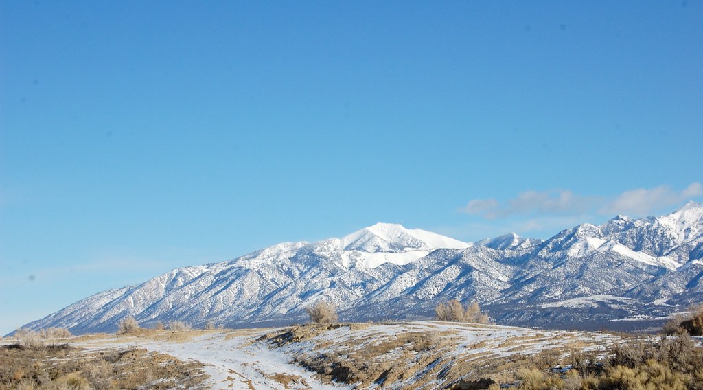
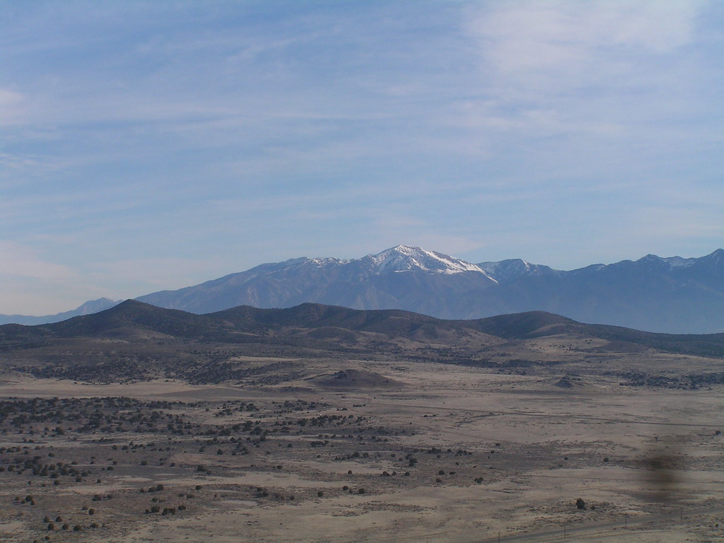
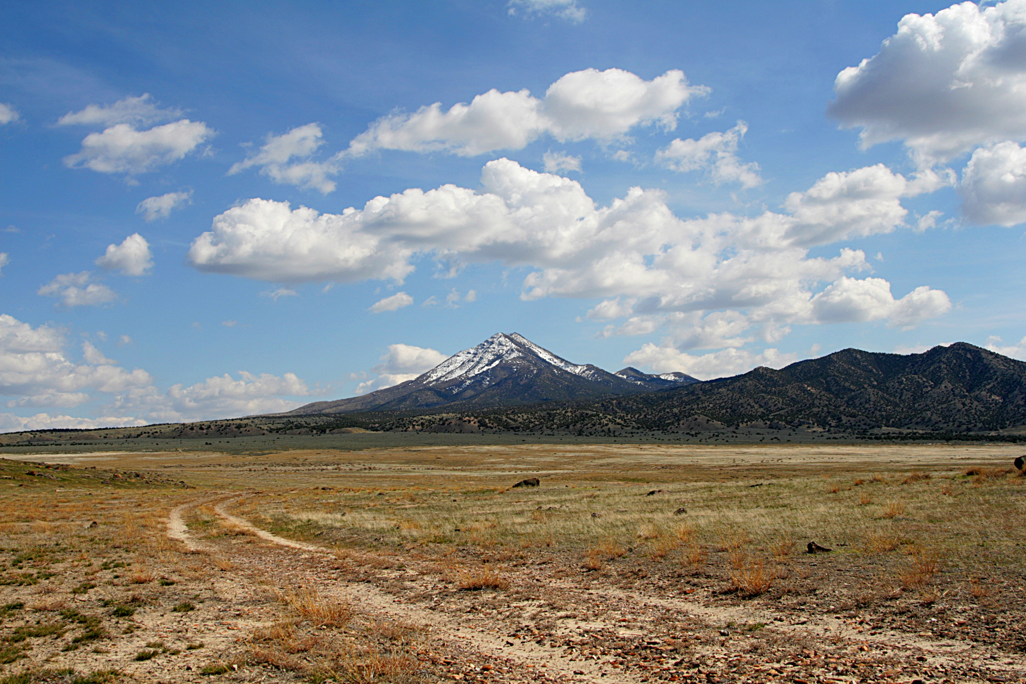
Deseret Peak
DSC_0095.JPG
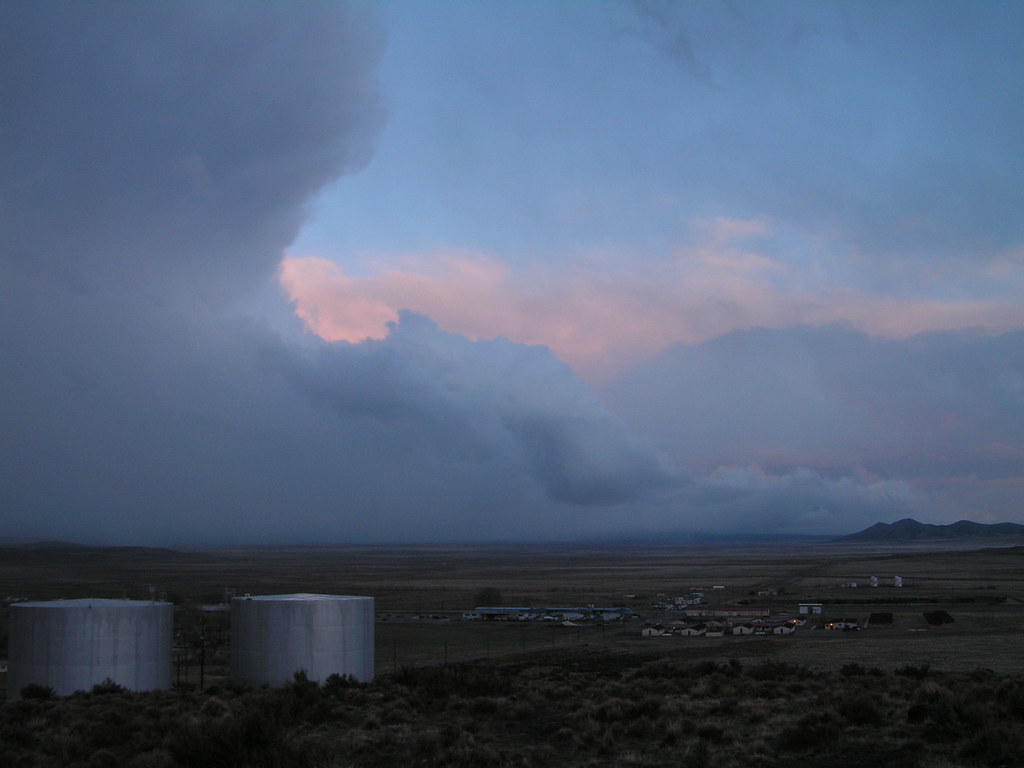
A Storm Comeith
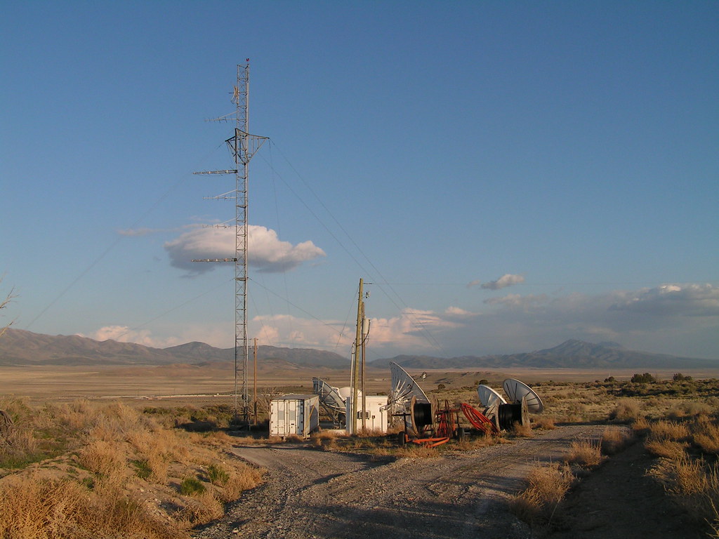
Welcome to Communcation Station
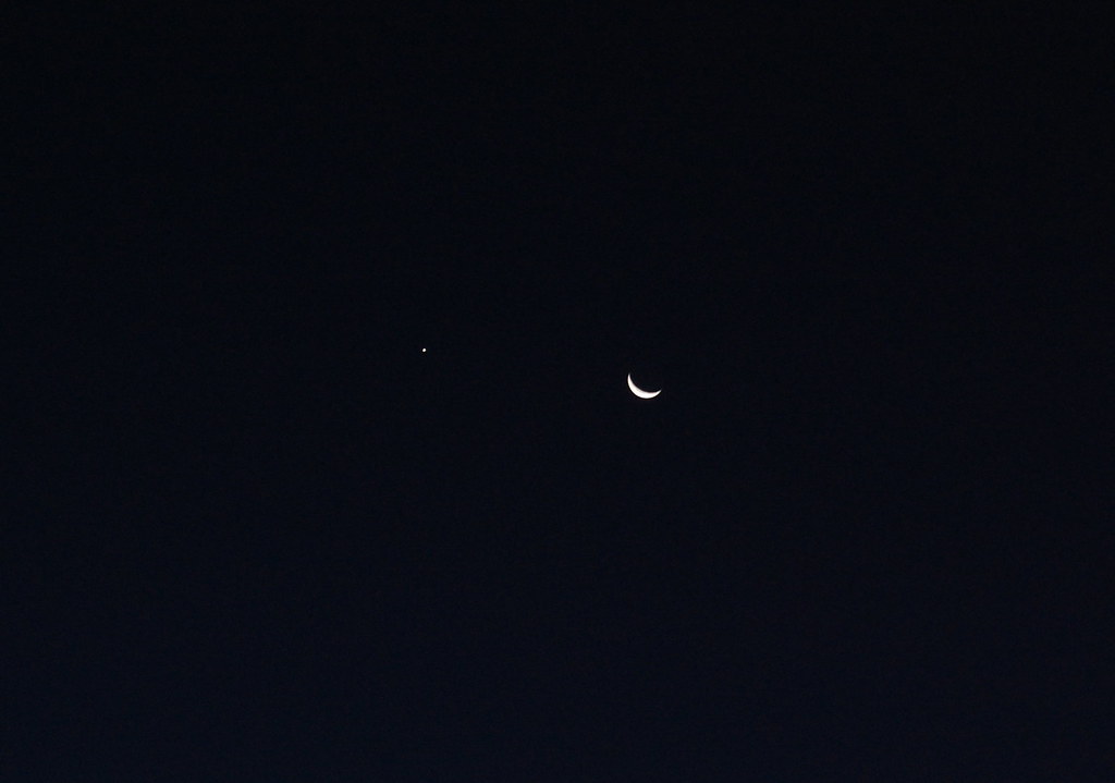
Venus and Luna, Nov. 5
Another View of the Dunes
Water Tower Hill/ Looking West
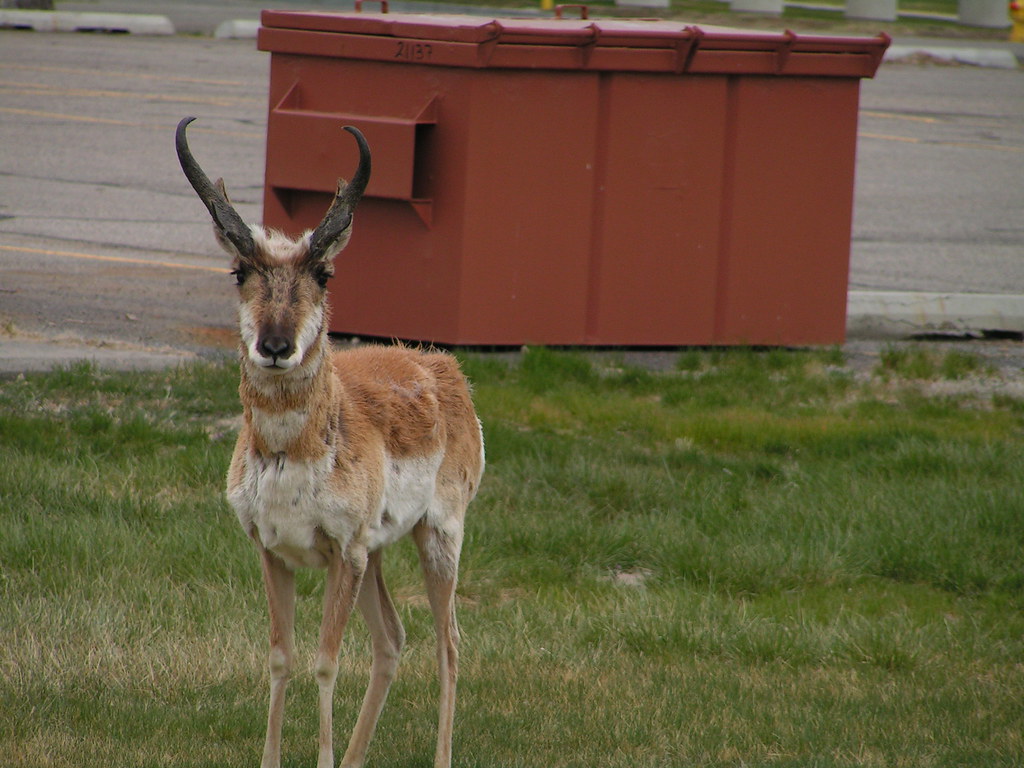
I See a Strange Guy
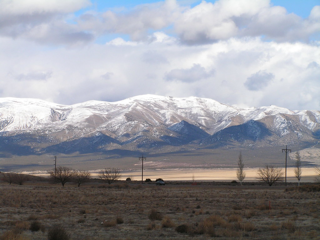
Stansbury Mountains

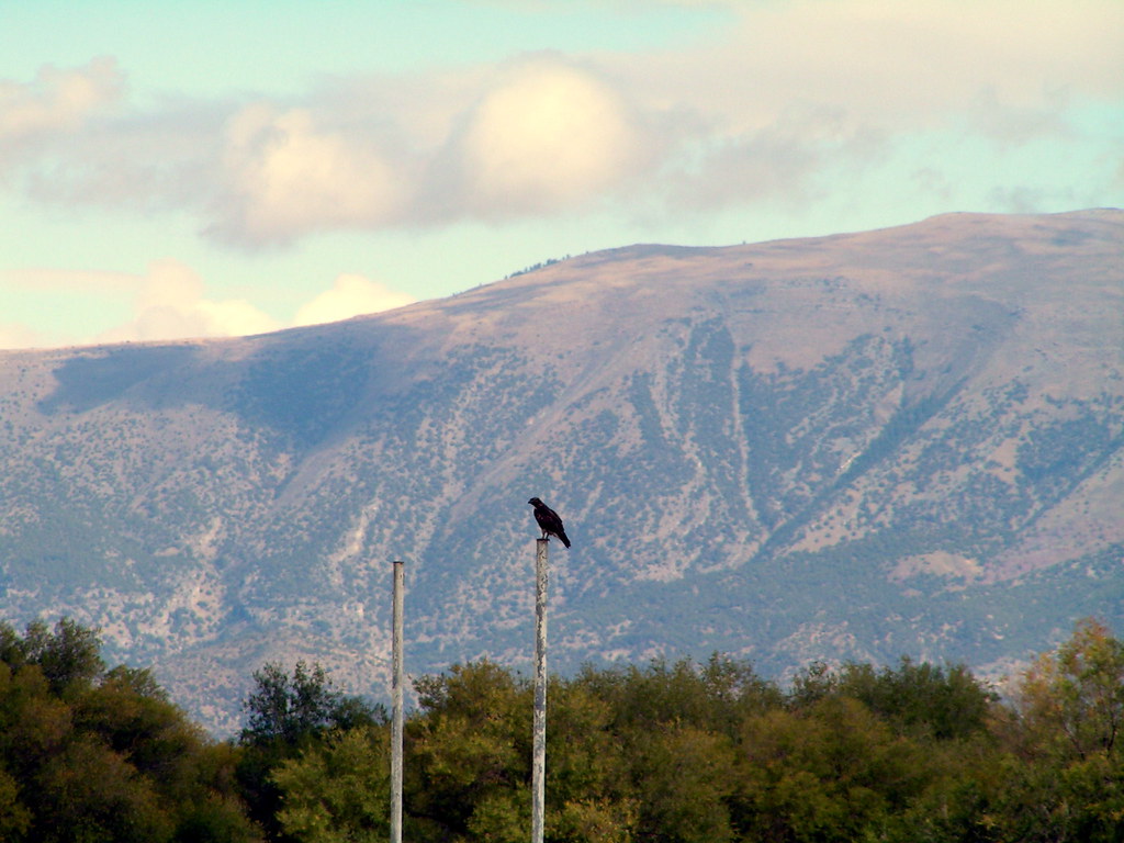
Prairie Falcon
Dugway Golf II
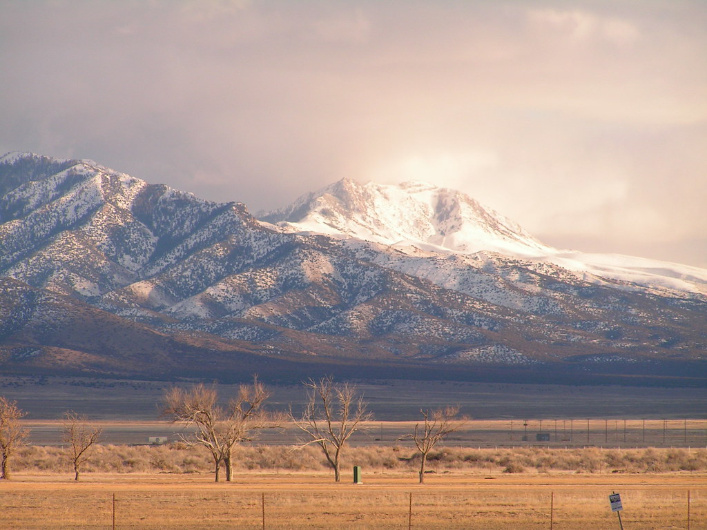
Great Mts 2/2
Near the End
DSC_0143.JPG
Lone One
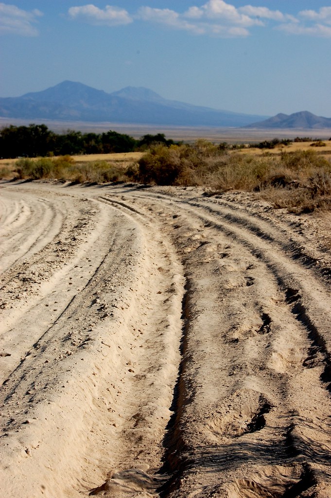
Dusty road
DSC_0126.JPG
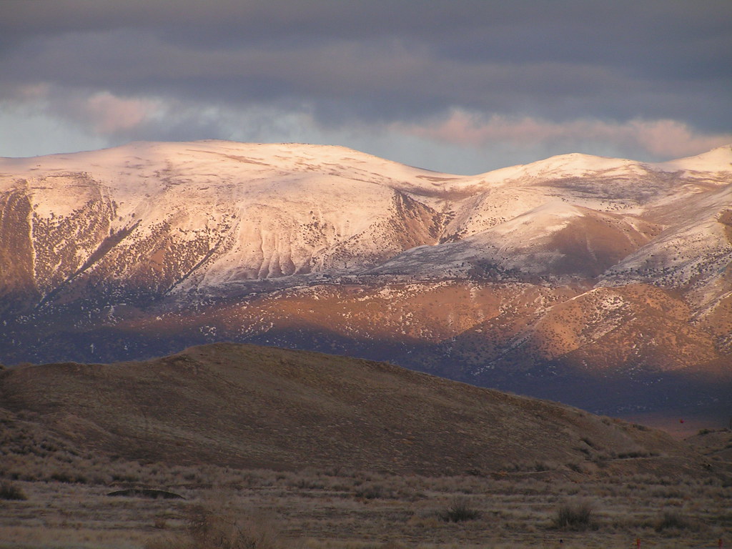
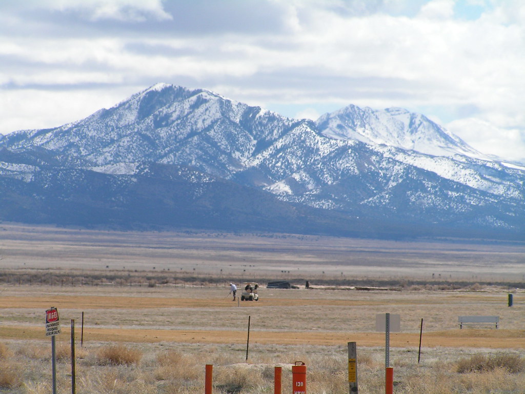
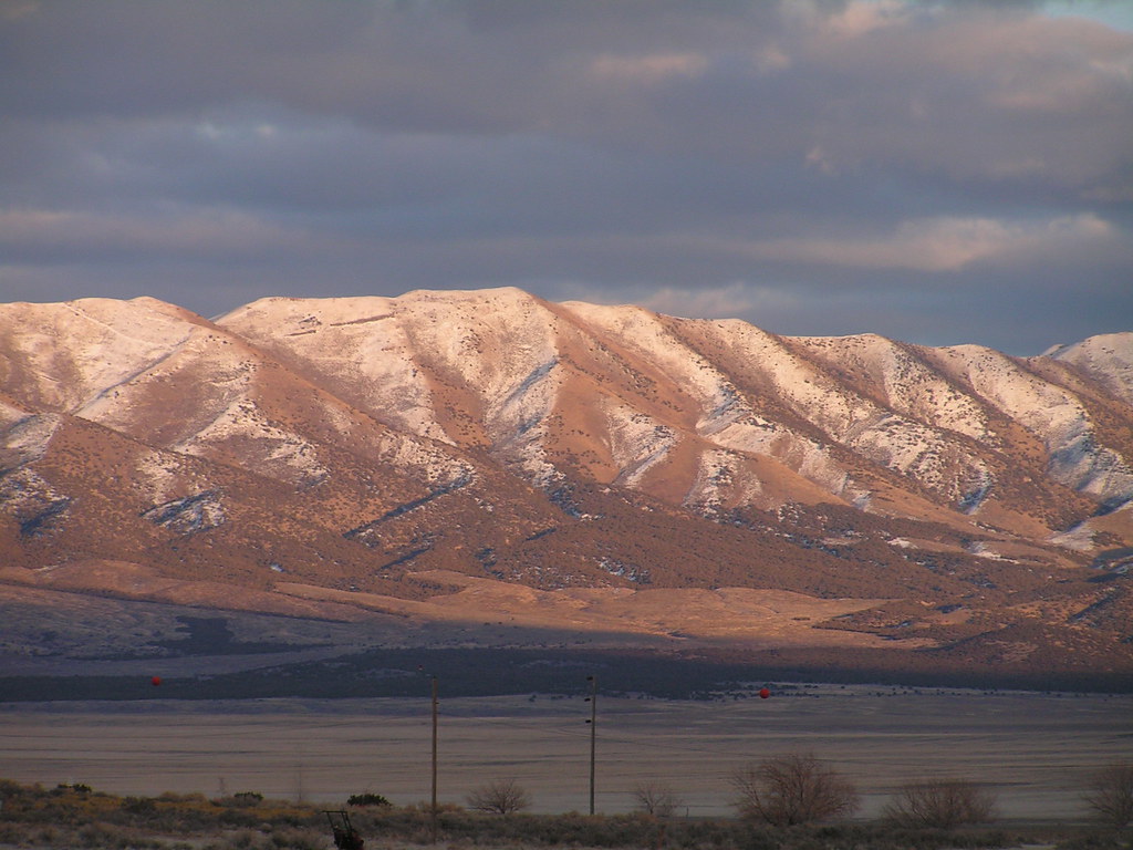
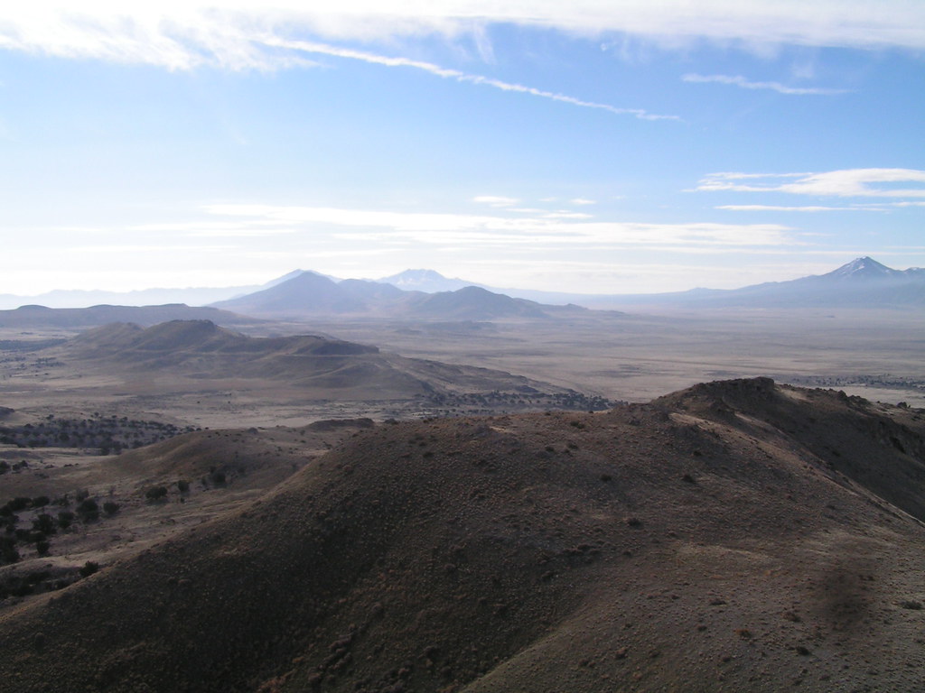
Great Mts 1/2

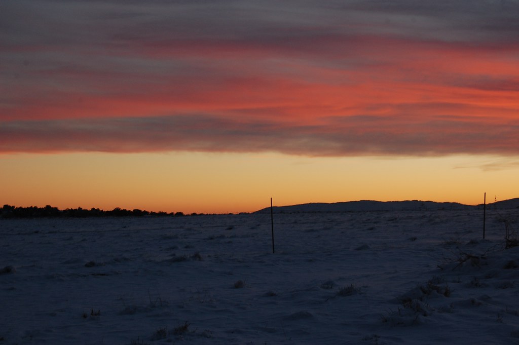
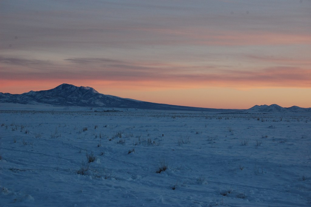
West Desert Sunset
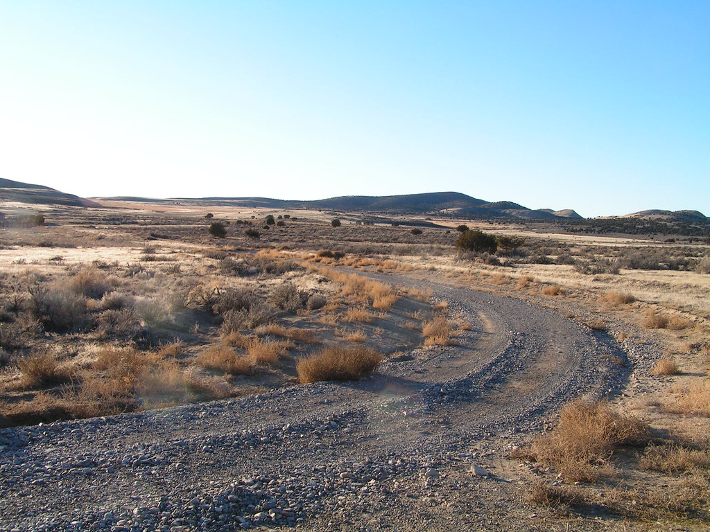
Around the Bend
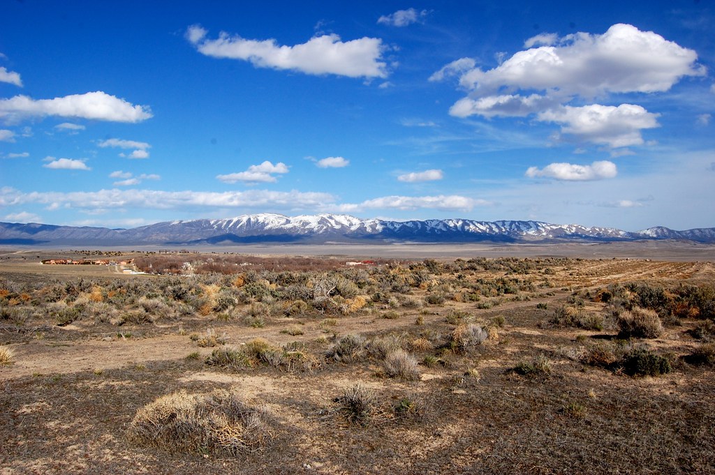
Wide open range
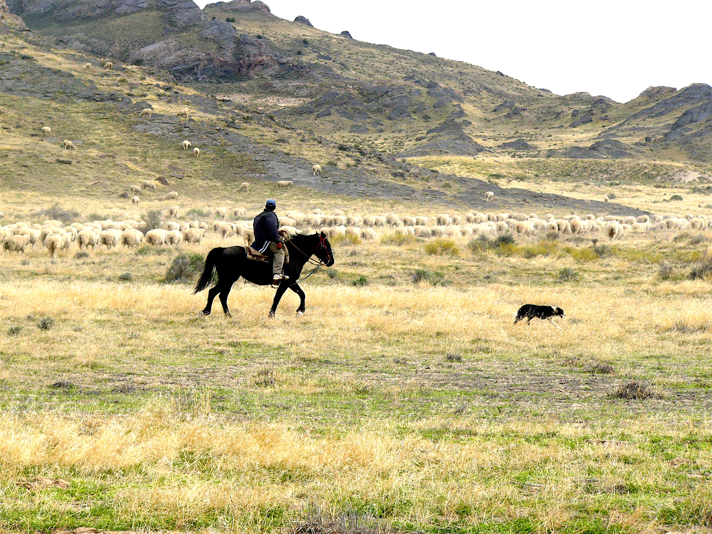
Working the sheep
Just Outside
A Host of Hills
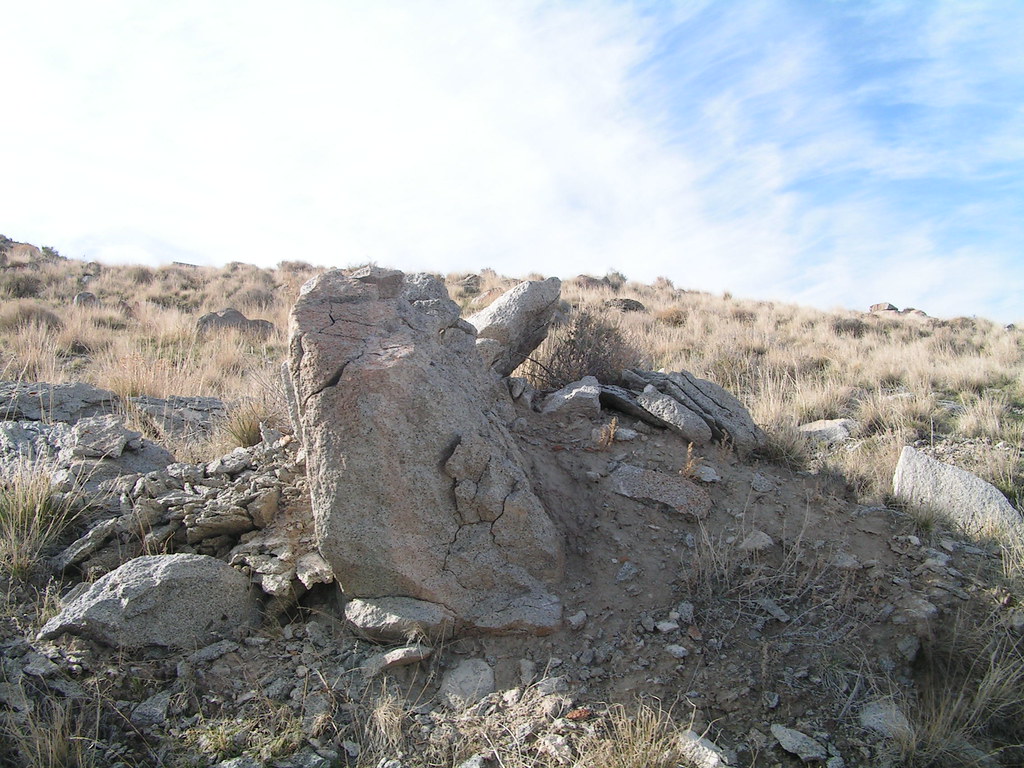
Split Rocks
In the Shadow

The English Village.

On The Road of Photography
IMG_2658-01
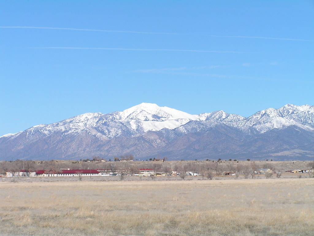
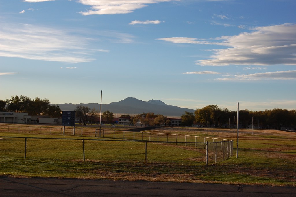
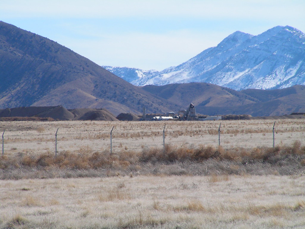
Mountans over Dugway
Topographic Map of Dugway Proving Ground, Dugway, UT, USA
Find elevation by address:

Places near Dugway Proving Ground, Dugway, UT, USA:
Dugway
Deseret Peak
Utah Osr Land Co-op At Riverbed Ranch
Tooele County
Salt Lake City
Juab County
Delle
Knolls
Delta, UT, USA
Utah Test And Training Range North
3060 W 2600 N St
Great Salt Lake Desert
Rocky Peak
Bonneville Salt Flats
Recent Searches:
- Elevation of Elwyn Dr, Roanoke Rapids, NC, USA
- Elevation of Congressional Dr, Stevensville, MD, USA
- Elevation of Bellview Rd, McLean, VA, USA
- Elevation of Stage Island Rd, Chatham, MA, USA
- Elevation of Shibuya Scramble Crossing, 21 Udagawacho, Shibuya City, Tokyo -, Japan
- Elevation of Jadagoniai, Kaunas District Municipality, Lithuania
- Elevation of Pagonija rock, Kranto 7-oji g. 8"N, Kaunas, Lithuania
- Elevation of Co Rd 87, Jamestown, CO, USA
- Elevation of Tenjo, Cundinamarca, Colombia
- Elevation of Côte-des-Neiges, Montreal, QC H4A 3J6, Canada