Elevation of Utah OSR Land Co-op at Riverbed Ranch, N Riverbottom Rd, Riverbed Ranch Rd, UT, USA
Location: United States > Utah > Juab County >
Longitude: -112.81384
Latitude: 39.8881965
Elevation: 1380m / 4528feet
Barometric Pressure: 86KPa
Elevation Map:
Satellite Map:
Related Photos:

Rattlesnake gave us a polite warning.

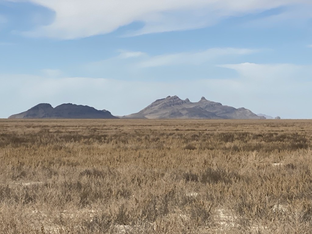
Pony express

Pony express

Pony express

Pony express

Pony express

Ant hills

Ant hills

Ant hills

Ant hills

Onaqui herd

Onaqui herd

Onaqui herd

Onaqui herd

Onaqui herd
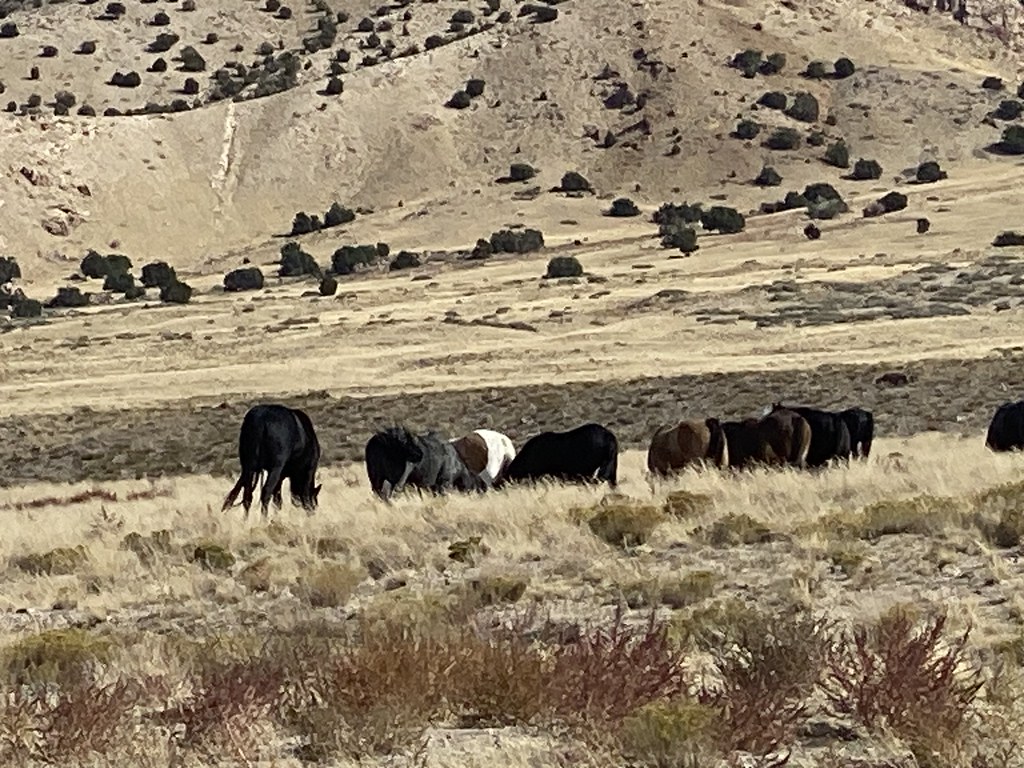
Onaqui herd
Onaqui herd

Onaqui herd

Pony Express

Loggerhead Shrike

Rock Wren

Great Basin Collard Lizard
Topographic Map of Utah OSR Land Co-op at Riverbed Ranch, N Riverbottom Rd, Riverbed Ranch Rd, UT, USA
Find elevation by address:

Places near Utah OSR Land Co-op at Riverbed Ranch, N Riverbottom Rd, Riverbed Ranch Rd, UT, USA:
Juab County
Dugway
Dugway Proving Ground
3060 W 2600 N St
Delta, UT, USA
Deseret Peak
Tooele County
Salt Lake City
Delle
Knolls
Utah Test And Training Range North
Great Salt Lake Desert
Rocky Peak
Bonneville Salt Flats
Recent Searches:
- Elevation of Elwyn Dr, Roanoke Rapids, NC, USA
- Elevation of Congressional Dr, Stevensville, MD, USA
- Elevation of Bellview Rd, McLean, VA, USA
- Elevation of Stage Island Rd, Chatham, MA, USA
- Elevation of Shibuya Scramble Crossing, 21 Udagawacho, Shibuya City, Tokyo -, Japan
- Elevation of Jadagoniai, Kaunas District Municipality, Lithuania
- Elevation of Pagonija rock, Kranto 7-oji g. 8"N, Kaunas, Lithuania
- Elevation of Co Rd 87, Jamestown, CO, USA
- Elevation of Tenjo, Cundinamarca, Colombia
- Elevation of Côte-des-Neiges, Montreal, QC H4A 3J6, Canada