Elevation of Crockett, VA, USA
Location: United States > Virginia > Wythe County > Black Lick >
Longitude: -81.192039
Latitude: 36.8862308
Elevation: 713m / 2339feet
Barometric Pressure: 93KPa
Elevation Map:
Satellite Map:
Related Photos:

Town of Rural Retreat
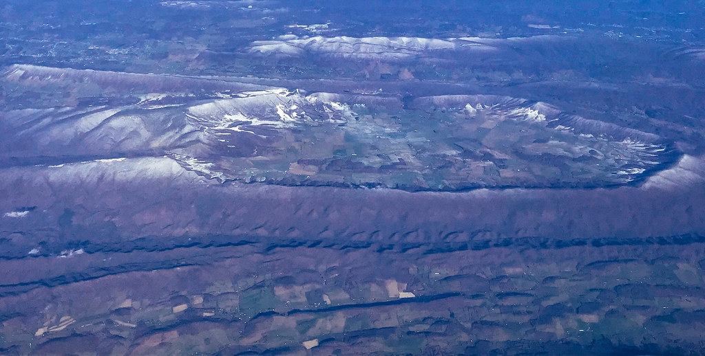
Aerial view of Blue Ridge Mountains and Shenandoah Valley near Blacksburg VA
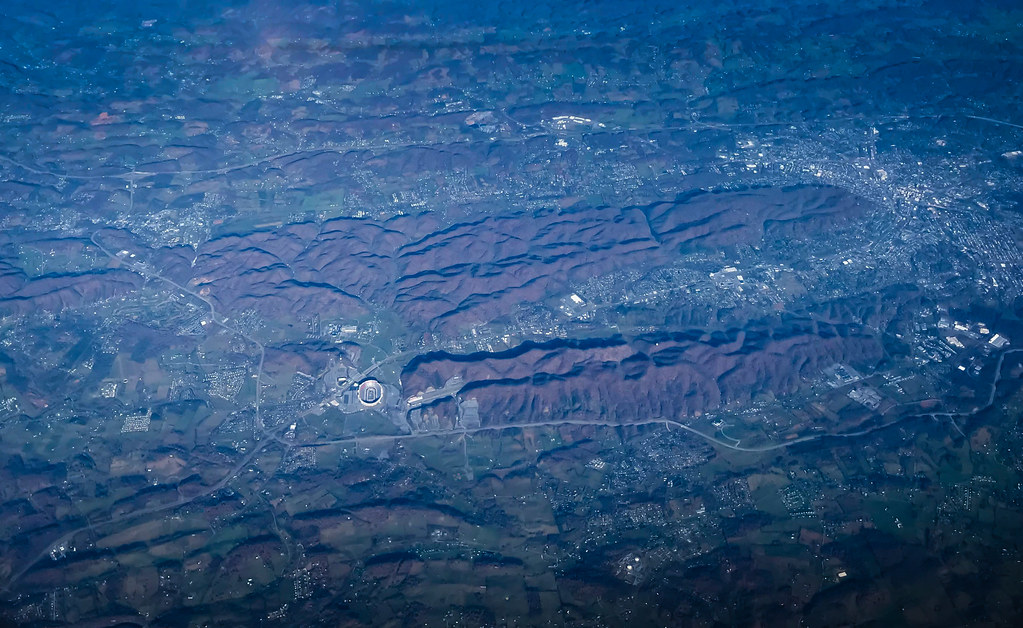
Aerial view of Virginia Tech University Lane Stadium and Shenandoah Valley - Blacksburg VA
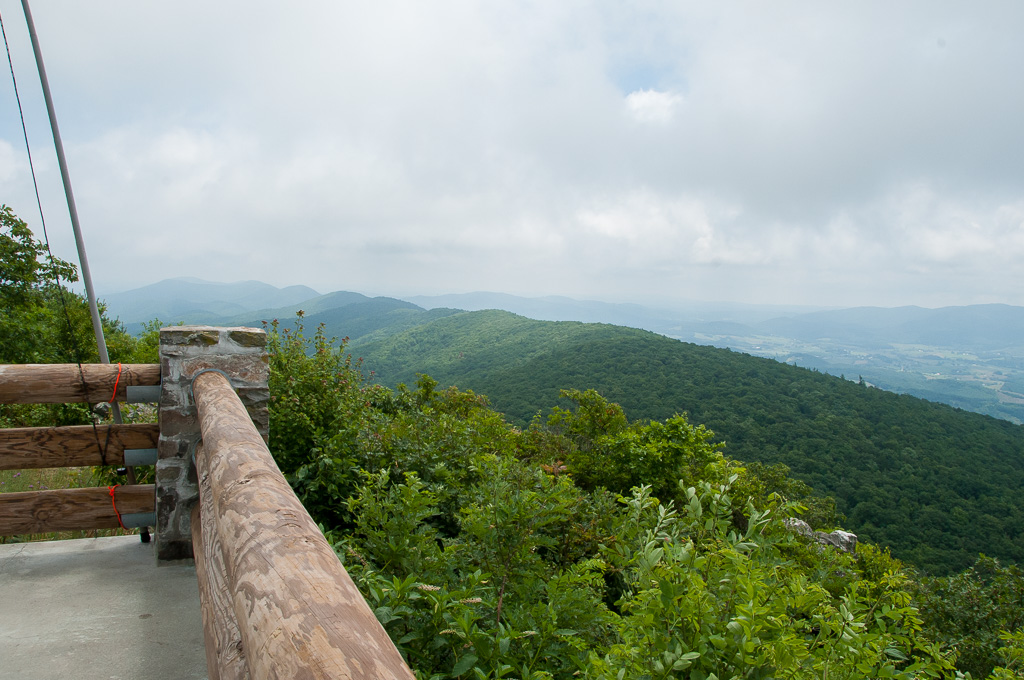
View from W4V/WV-013 - Comers Rock
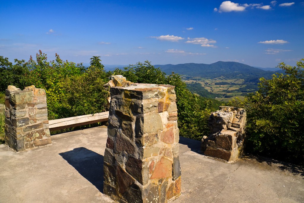
Comers Rock Overlook
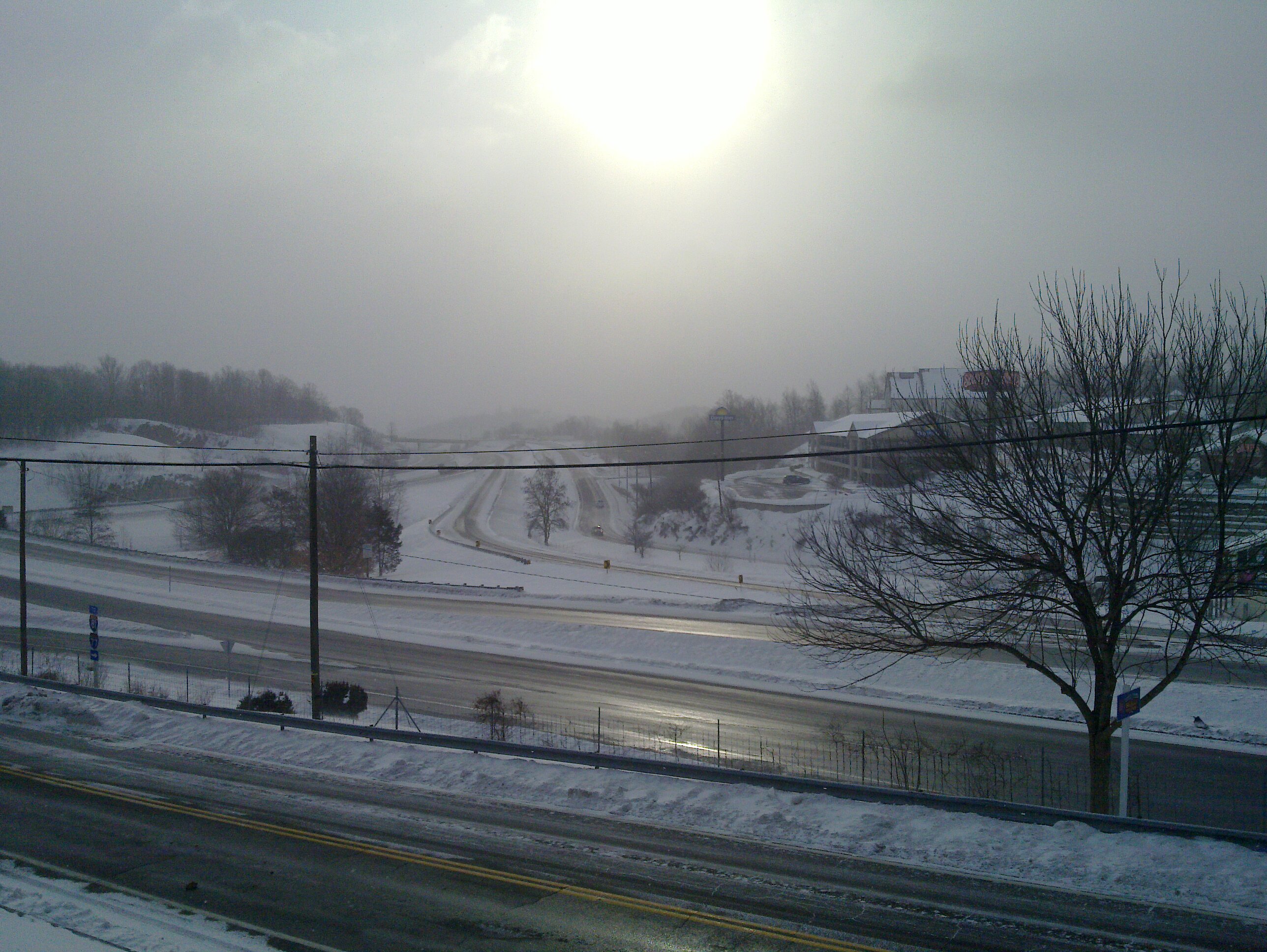
Winter will not let us escape his grasp

View from roof of Bolling Wilson Hotel
Rural Retreat

St. Paul's Lutheran Church
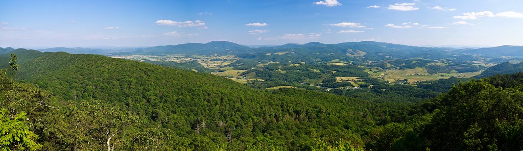
Panoramic View from Comers Rock
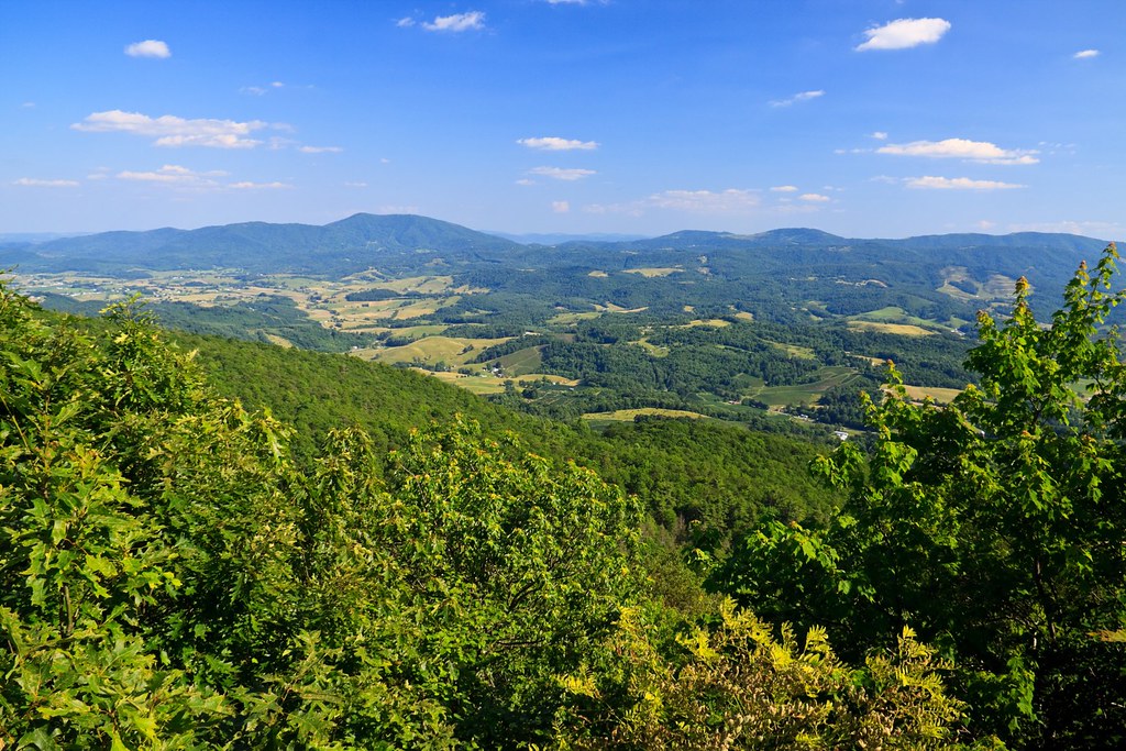
View from Comers Rock

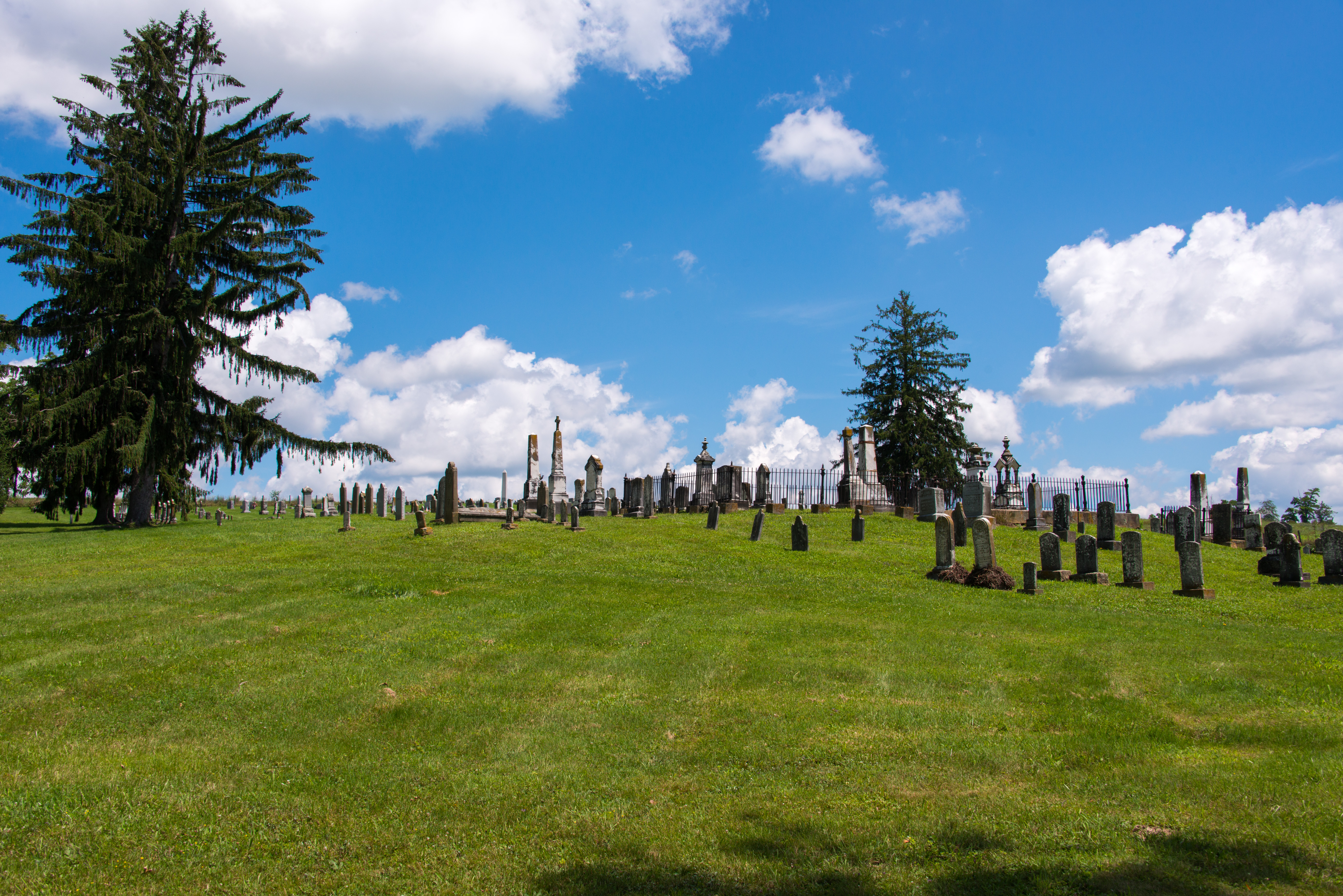
Settlers Museum, Smyth, Virginia
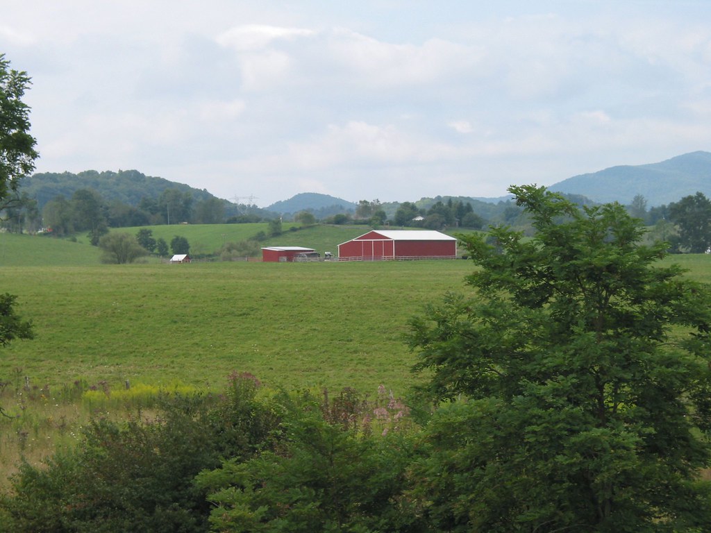
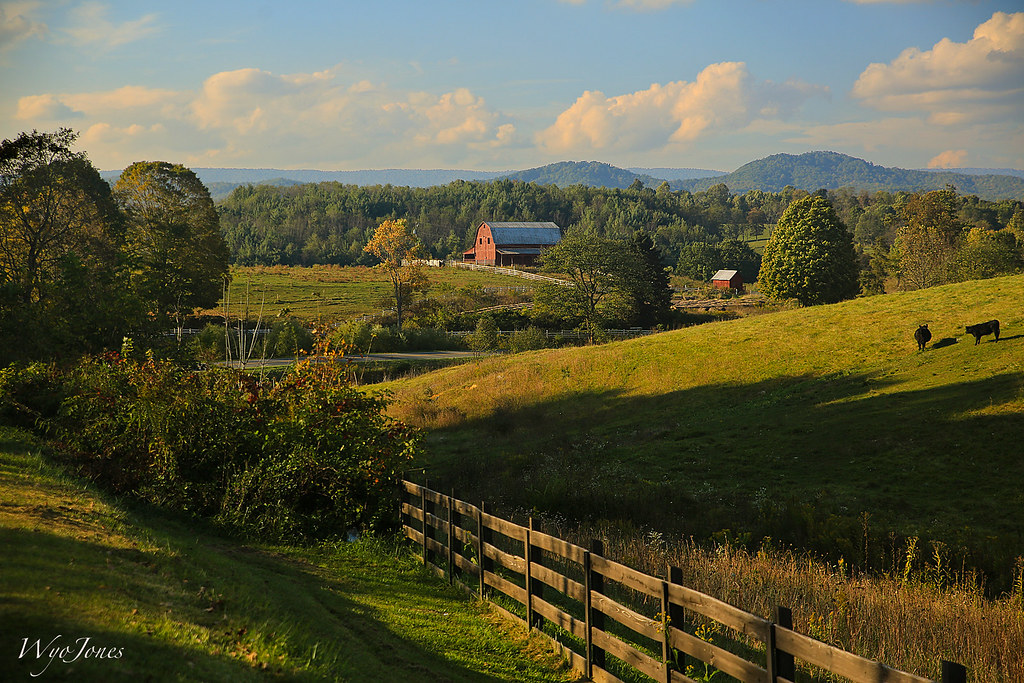
A red barn with trees

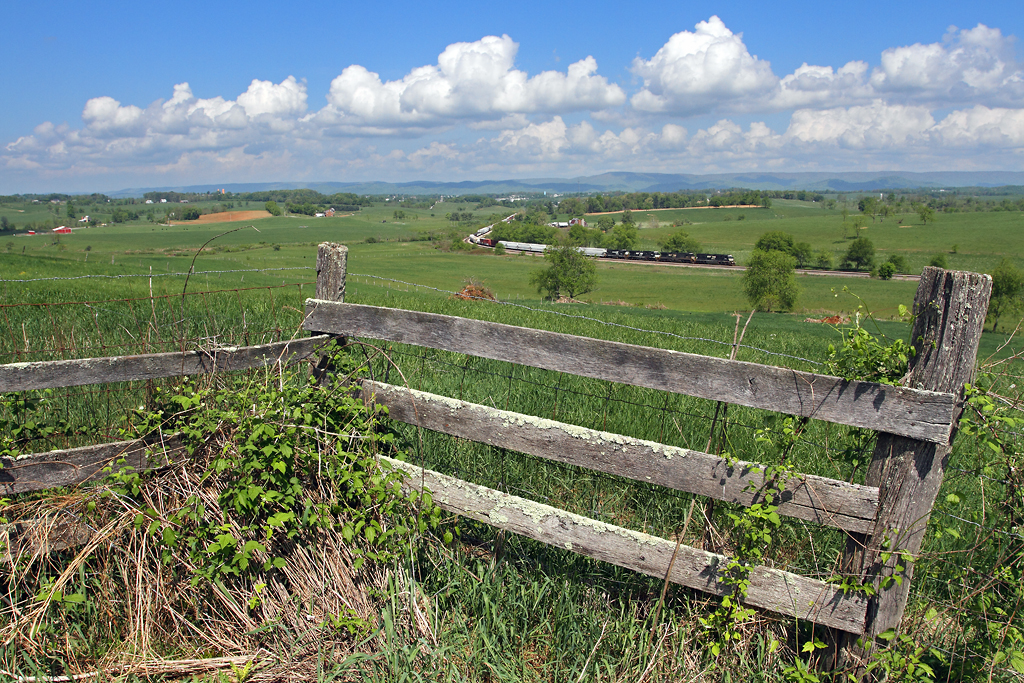
A nice rural scene in VA
Barn Near Crockett
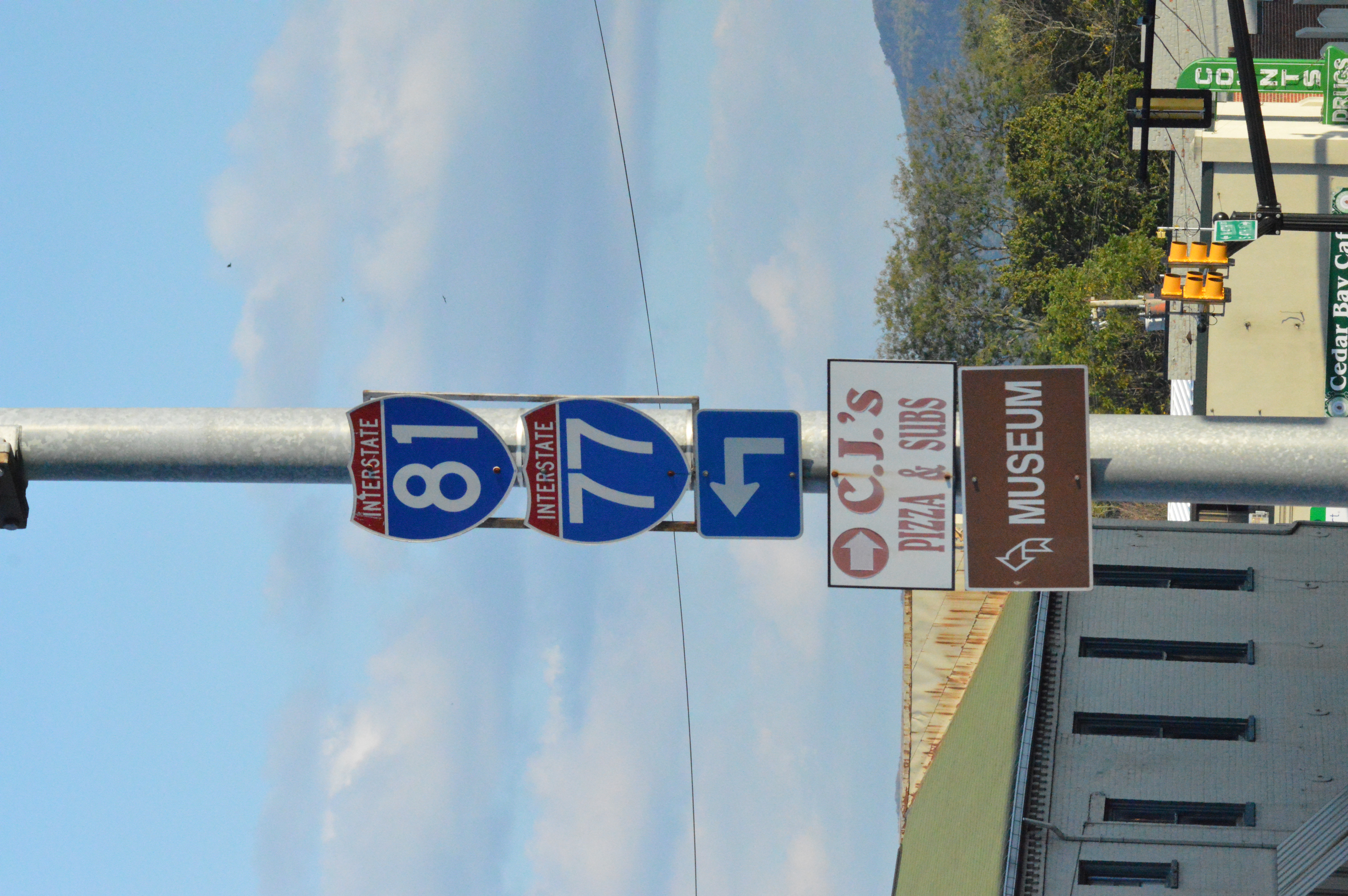
I-81 and I-77 shields Wytheville, VA
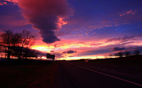
Wytheville,VA sunset16
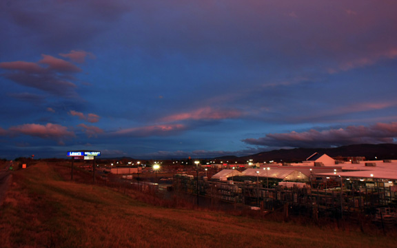
Wytheville,VA sunset17
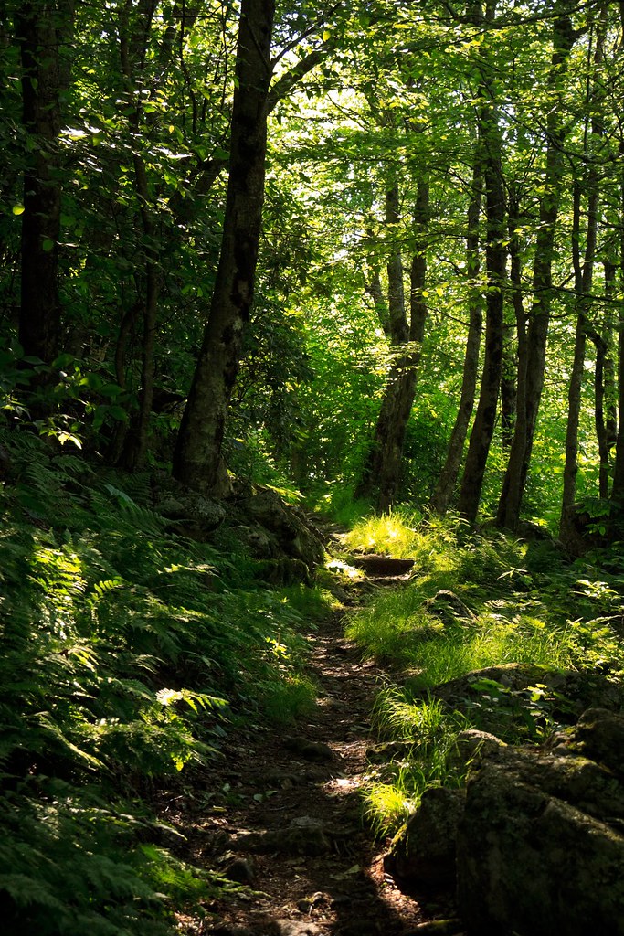
Trail to Comers Rock
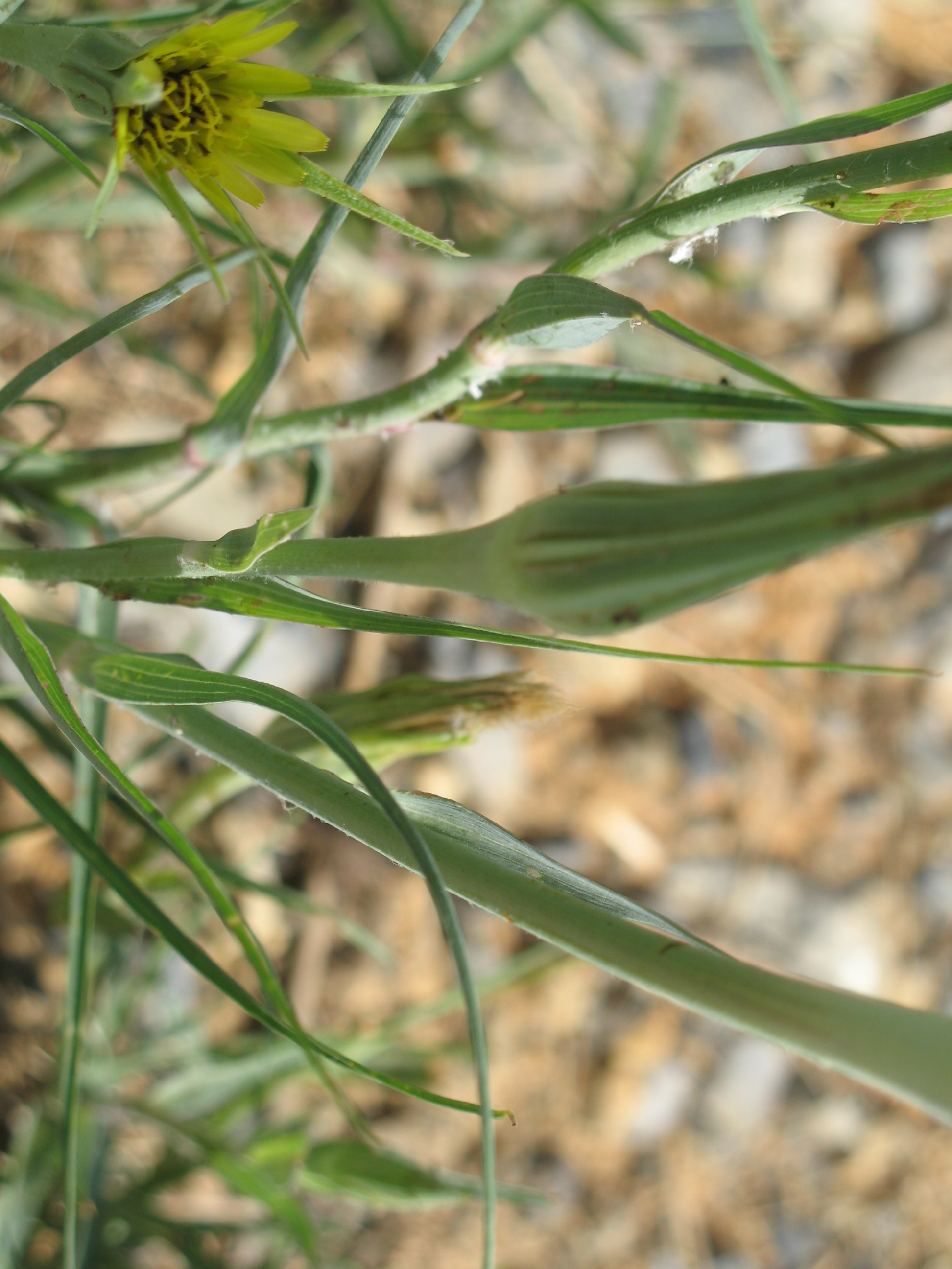
Yellow Goatsbeard - Tragopogon dubius

Sunset at Crockett
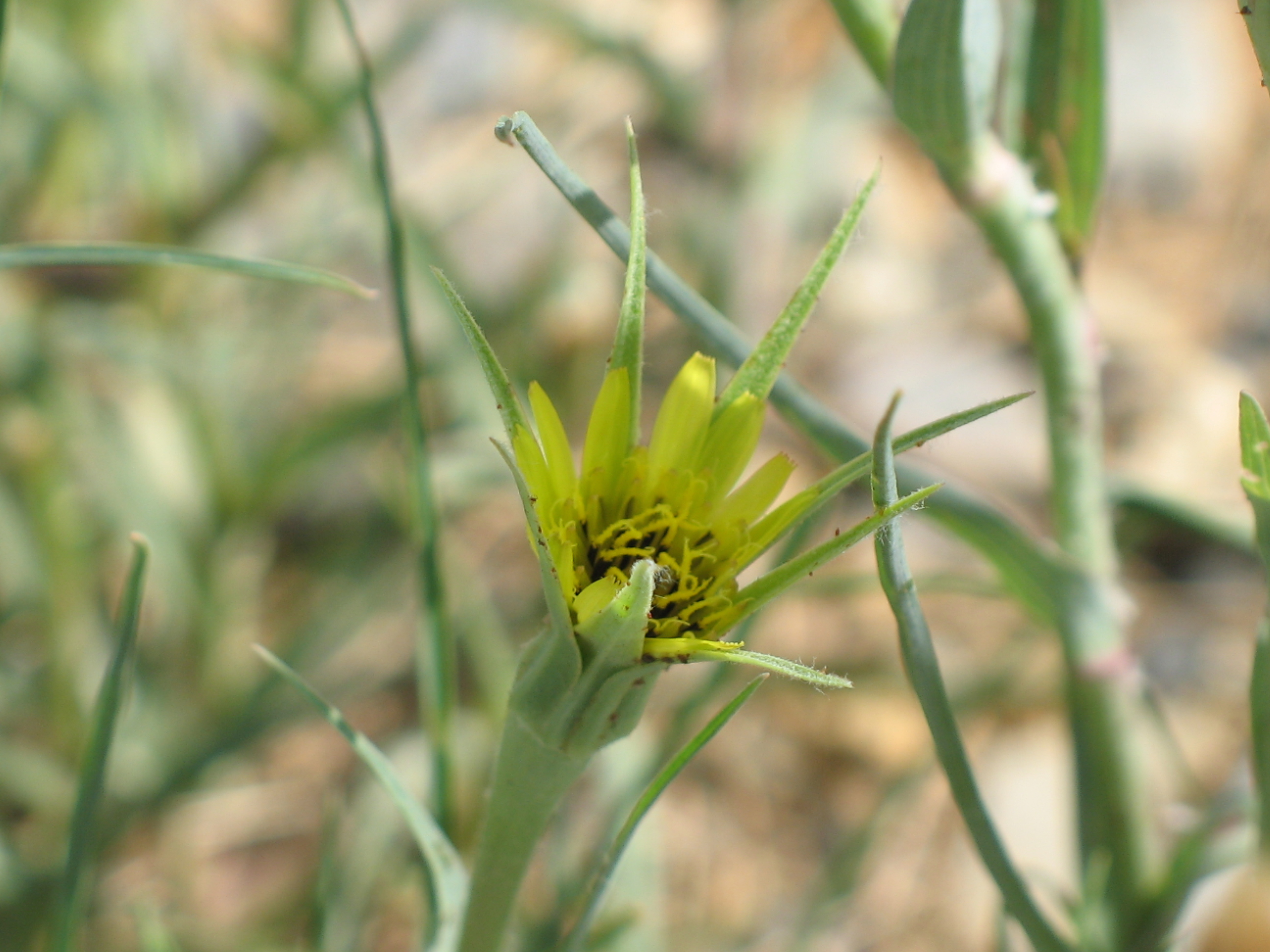
Yellow Goatsbeard - Tragopogon dubius
Virginia is Beautiful

130716-3453 Wytheville
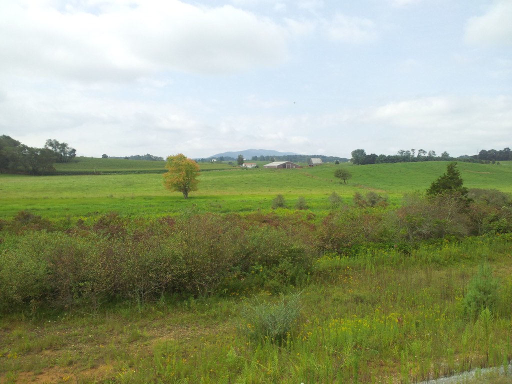
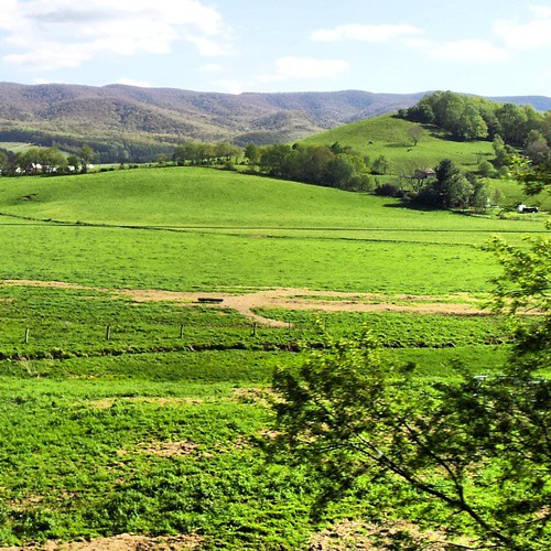
Springtime at Crockett
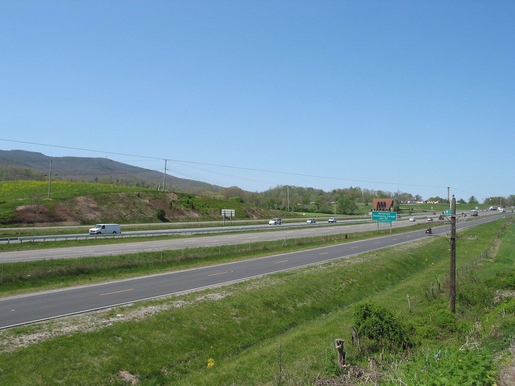
I81 from Wytheville va
130716-3451 Wytheville
Topographic Map of Crockett, VA, USA
Find elevation by address:

Places near Crockett, VA, USA:
1053 Crockett Rd
1053 Crockett Rd
736 Zion Church Rd
571 Old Mountain Rd
Speedwell
327 S Wye Rd
Speedwell
107 Peachtree Ln
7657 Grayson Turnpike
Cripple Creek
Appalachian Mountains
Sand Mountain
Mule Hell Road
1419 Hunters Ln
Gem Stream Road
11170 Elk Creek Pkwy
3 Spring Valley Rd
Iron Mountain Horse Camp
4449 Arrowhead Dr
White Tail Lane
Recent Searches:
- Elevation of Royal Ontario Museum, Queens Park, Toronto, ON M5S 2C6, Canada
- Elevation of Groblershoop, South Africa
- Elevation of Power Generation Enterprises | Industrial Diesel Generators, Oak Ave, Canyon Country, CA, USA
- Elevation of Chesaw Rd, Oroville, WA, USA
- Elevation of N, Mt Pleasant, UT, USA
- Elevation of 6 Rue Jules Ferry, Beausoleil, France
- Elevation of Sattva Horizon, 4JC6+G9P, Vinayak Nagar, Kattigenahalli, Bengaluru, Karnataka, India
- Elevation of Great Brook Sports, Gold Star Hwy, Groton, CT, USA
- Elevation of 10 Mountain Laurels Dr, Nashua, NH, USA
- Elevation of 16 Gilboa Ln, Nashua, NH, USA