Elevation of Zion Church Rd, Crockett, VA, USA
Location: United States > Virginia > Wythe County > Speedwell > Speedwell >
Longitude: -81.203809
Latitude: 36.8475529
Elevation: 759m / 2490feet
Barometric Pressure: 93KPa
Elevation Map:
Satellite Map:
Related Photos:

Town of Rural Retreat
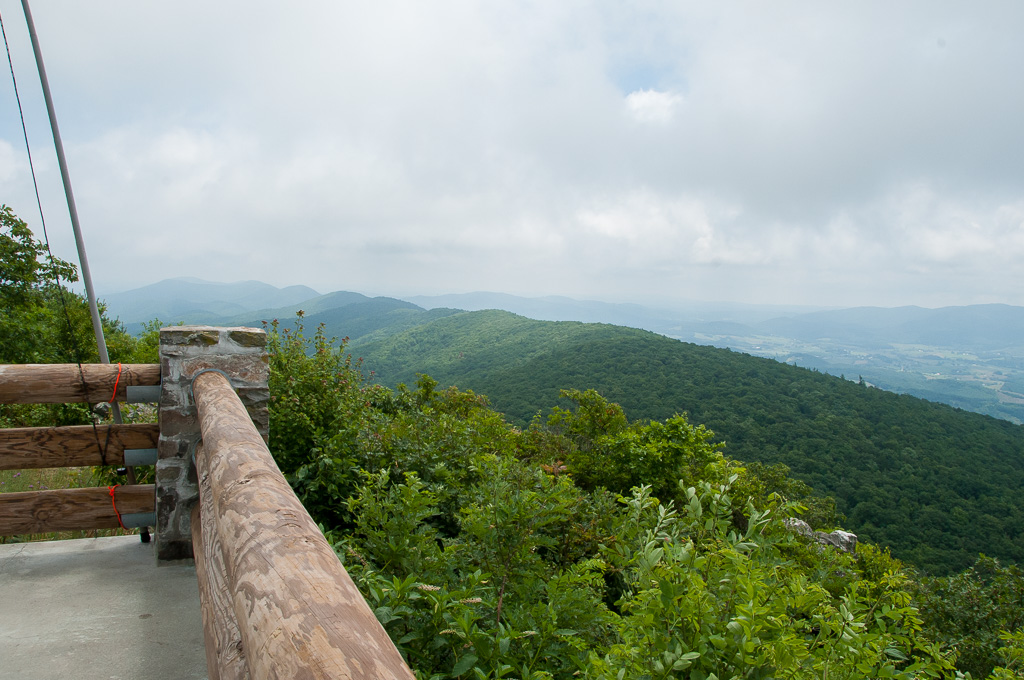
View from W4V/WV-013 - Comers Rock
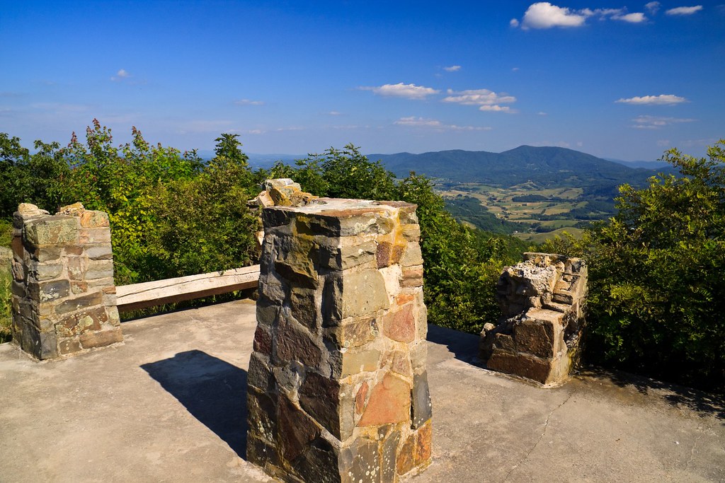
Comers Rock Overlook
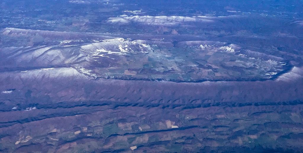
Aerial view of Blue Ridge Mountains and Shenandoah Valley near Blacksburg VA
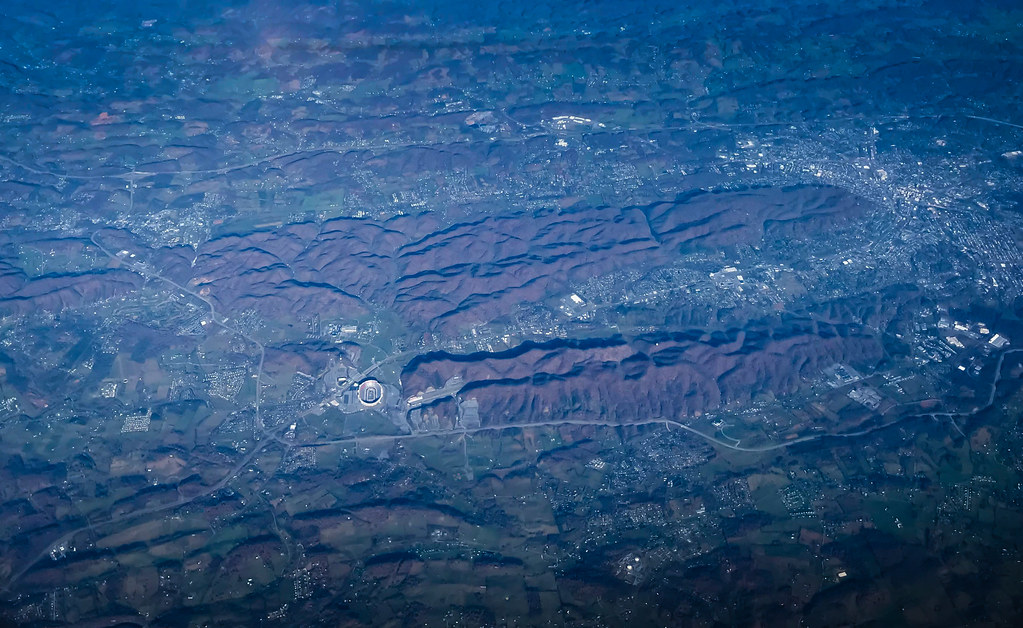
Aerial view of Virginia Tech University Lane Stadium and Shenandoah Valley - Blacksburg VA

View from roof of Bolling Wilson Hotel
Rural Retreat

Wytheville,VA sunset16
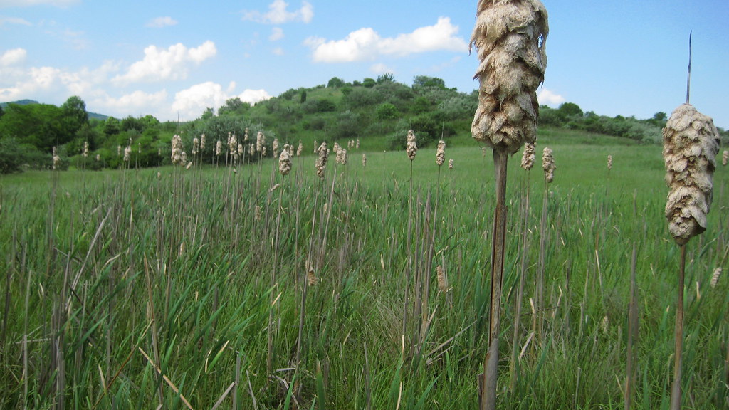
Rural Road

Settlers Museum, Smyth, Virginia
Virginia is Beautiful
IMG_2878.jpg

11-4455
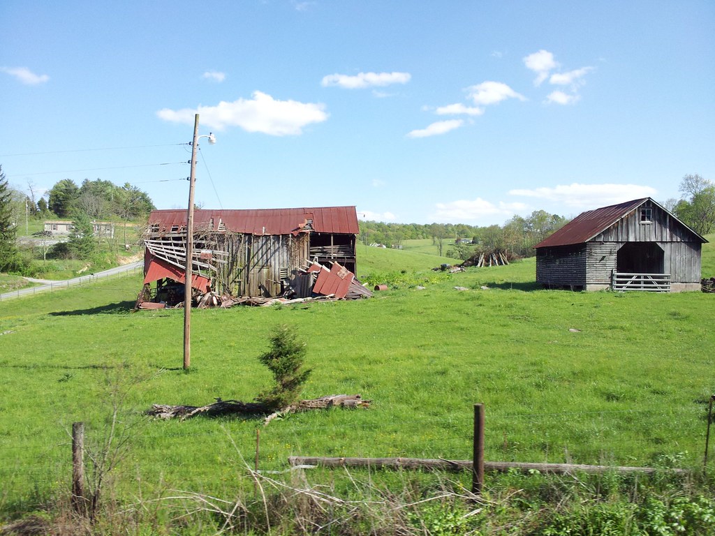
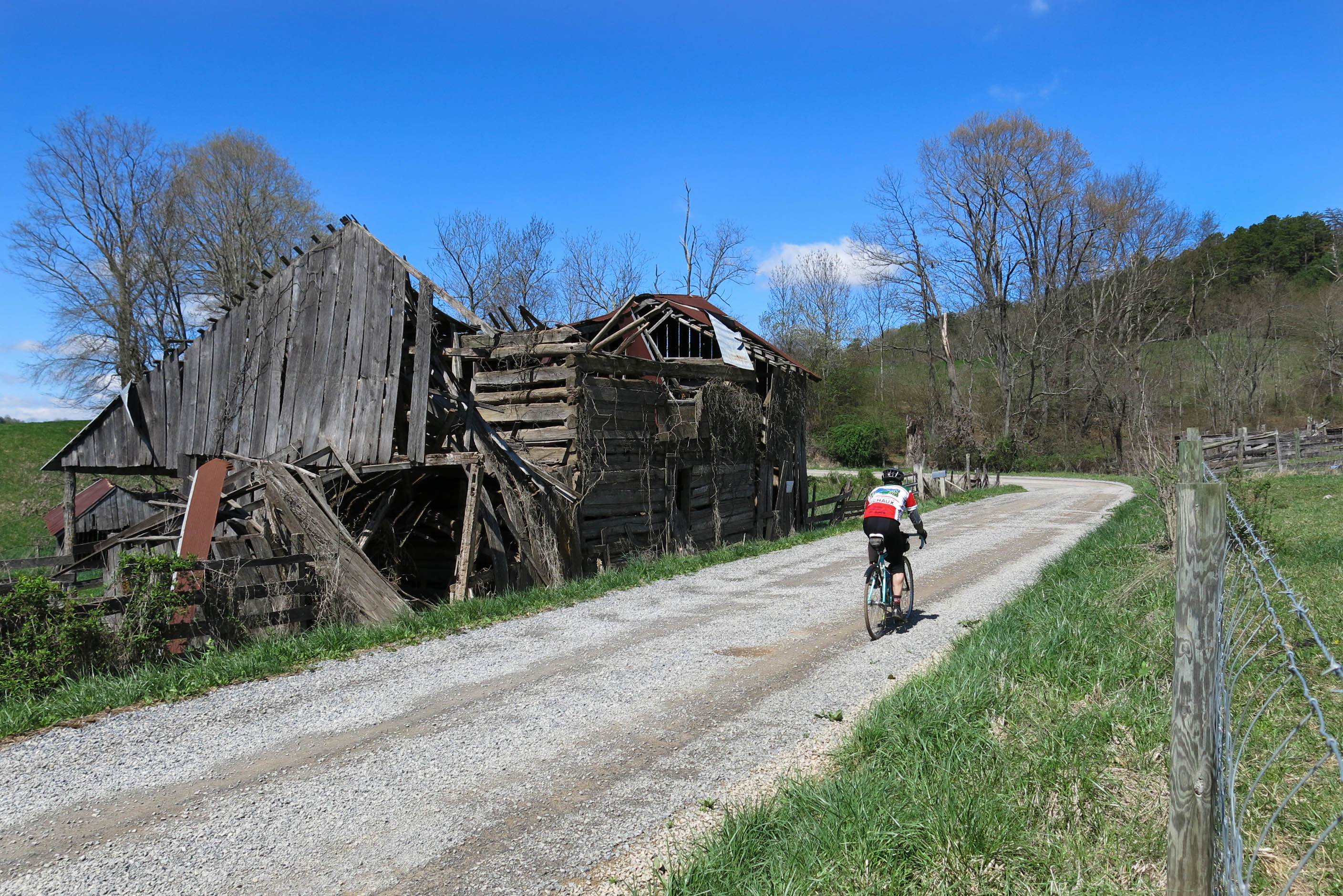
Old Barns
Driving through the Shenandoah Valley in VA
64/180 4/20/13 Bike 180 2013

Afternoon Rays on High Rocks

Fire near rural retreat
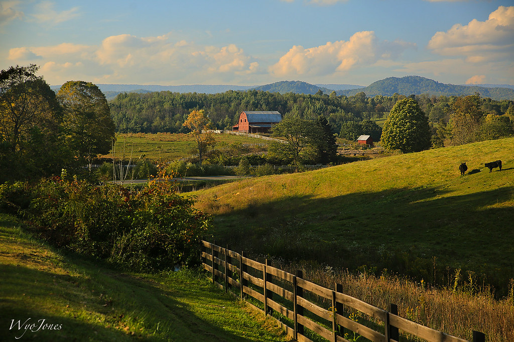
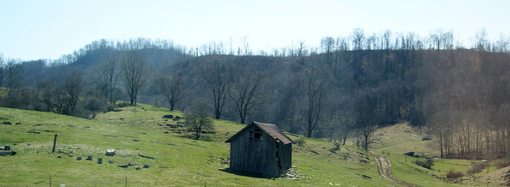
Barn Near Crockett

Near I-81 in Atkins
Near I-81 in Atkins

Short Trail to W4V/WV-013 - Comers Rock
HIghway Driving
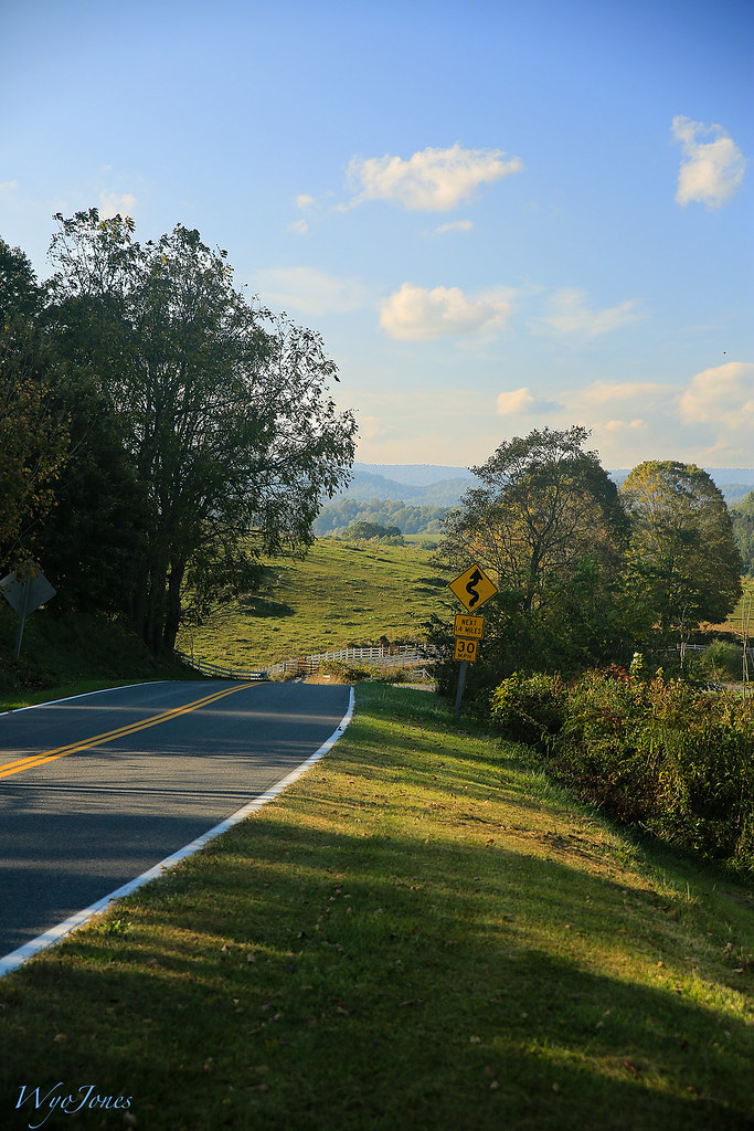
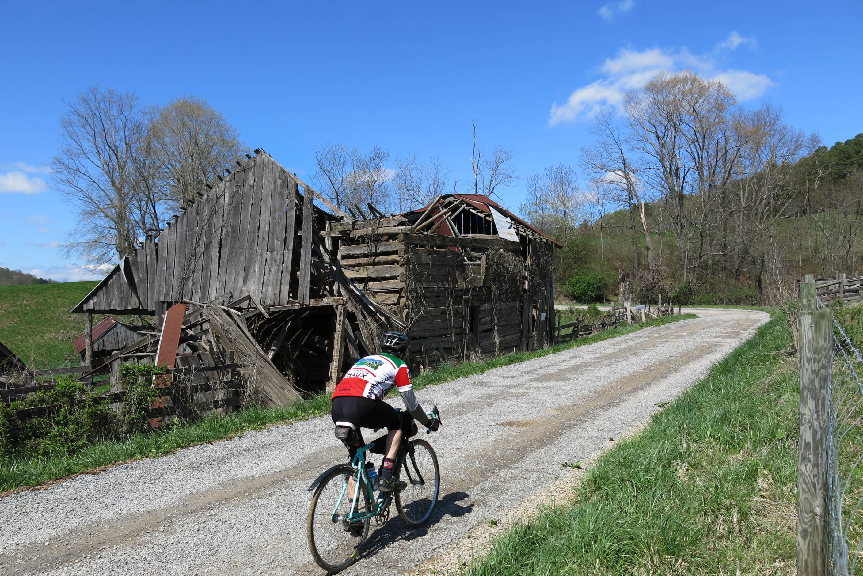
Zion Church Rd., Wythe County, Va
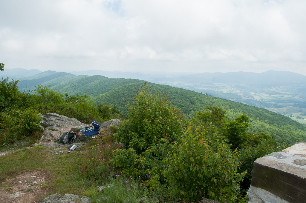
QTH on W4V/WV-013 - Comers Rock
Topographic Map of Zion Church Rd, Crockett, VA, USA
Find elevation by address:

Places near Zion Church Rd, Crockett, VA, USA:
1053 Crockett Rd
Crockett
1053 Crockett Rd
Speedwell
571 Old Mountain Rd
7657 Grayson Turnpike
Speedwell
1419 Hunters Ln
Gem Stream Road
Cripple Creek
11170 Elk Creek Pkwy
327 S Wye Rd
107 Peachtree Ln
3 Spring Valley Rd
639 Wagon Wheel Rd
White Tail Lane
Iron Mountain Horse Camp
4449 Arrowhead Dr
Appalachian Mountains
55 Creek Ln, Elk Creek, VA, USA
Recent Searches:
- Elevation of Lytham Ln, Katy, TX, USA
- Elevation of Tater Hill, Oklahoma, USA
- Elevation of NY-, Friendship, NY, USA
- Elevation of 64 Danakas Dr, Winnipeg, MB R2C 5N7, Canada
- Elevation of 4 Vale Rd, Sheffield S3 9QX, UK
- Elevation of Keene Point Drive, Keene Point Dr, Grant, AL, USA
- Elevation of State St, Zanesville, OH, USA
- Elevation of Austin Stone Dr, Haslet, TX, USA
- Elevation of Bydgoszcz, Poland
- Elevation of Bydgoszcz, Poland