Elevation of Crockett Rd, Crockett, VA, USA
Location: United States > Virginia > Wythe County > Black Lick > Crockett >
Longitude: -81.189980
Latitude: 36.8839001
Elevation: 718m / 2356feet
Barometric Pressure: 93KPa
Elevation Map:
Satellite Map:
Related Photos:

Hanging at High Rocks. Wytheville VA
High Rocks Trail, Wytheville VA.

Aerial view of Virginia Tech University Lane Stadium and Shenandoah Valley - Blacksburg VA

Aerial view of Blue Ridge Mountains and Shenandoah Valley near Blacksburg VA

Town of Rural Retreat

View from roof of Bolling Wilson Hotel
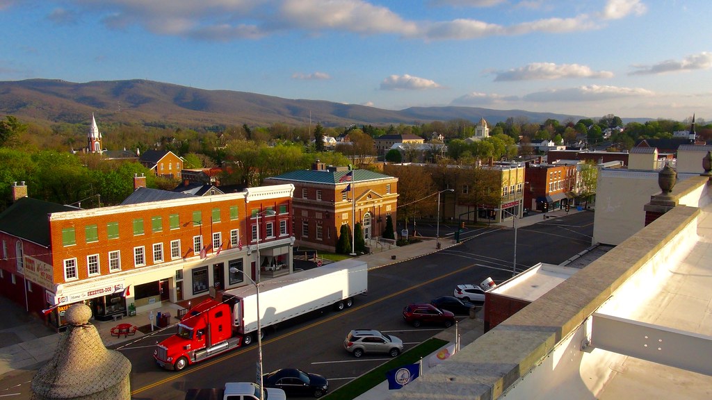
View from roof of Bolling Wilson Hotel

Panoramic View from Comers Rock

View from Comers Rock

Comers Rock Overlook

Winter will not let us escape his grasp

W4V/WV-022 - Horse Heaven View

View from W4V/WV-013 - Comers Rock

Springtime at Crockett

St. Paul's Lutheran Church

Settlers Museum, Smyth, Virginia

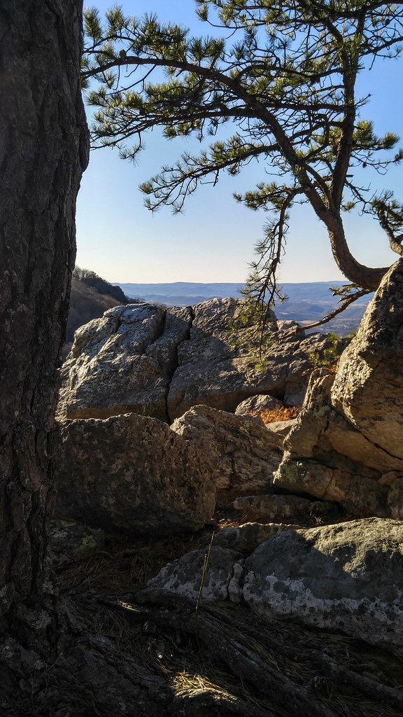
Afternoon Rays on High Rocks

Rural Retreat

Rural Road

Wytheville,VA1

I-81 and I-77 shields Wytheville, VA

Sunset in southwest Virginia.

Bo', Snow, and CPL's

Wytheville,VA sunset16

Yellow Goatsbeard - Tragopogon dubius

I81 from Wytheville va

Fire near rural retreat
11-4455

20190623 5DIV mountain motorcycle ride 117
Barn Near Crockett

Sunset at Crockett

Wytheville,VA sunset17
Topographic Map of Crockett Rd, Crockett, VA, USA
Find elevation by address:

Places near Crockett Rd, Crockett, VA, USA:
Crockett
1053 Crockett Rd
736 Zion Church Rd
571 Old Mountain Rd
Speedwell
Speedwell
327 S Wye Rd
7657 Grayson Turnpike
107 Peachtree Ln
Cripple Creek
Appalachian Mountains
Sand Mountain
Mule Hell Road
1419 Hunters Ln
Gem Stream Road
11170 Elk Creek Pkwy
3 Spring Valley Rd
Iron Mountain Horse Camp
4449 Arrowhead Dr
White Tail Lane
Recent Searches:
- Elevation of 4 Vale Rd, Sheffield S3 9QX, UK
- Elevation of Keene Point Drive, Keene Point Dr, Grant, AL, USA
- Elevation of State St, Zanesville, OH, USA
- Elevation of Austin Stone Dr, Haslet, TX, USA
- Elevation of Bydgoszcz, Poland
- Elevation of Bydgoszcz, Poland
- Elevation of Calais Dr, Del Mar, CA, USA
- Elevation of Placer Mine Ln, West Jordan, UT, USA
- Elevation of E 63rd St, New York, NY, USA
- Elevation of Elk City, OK, USA