Elevation of Black Lick, VA, USA
Location: United States > Virginia > Wythe County >
Longitude: -81.273907
Latitude: 36.9548274
Elevation: 738m / 2421feet
Barometric Pressure: 93KPa
Elevation Map:
Satellite Map:
Related Photos:
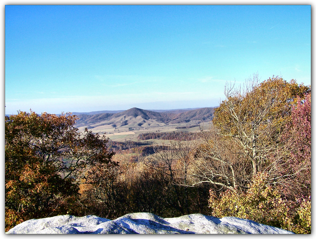
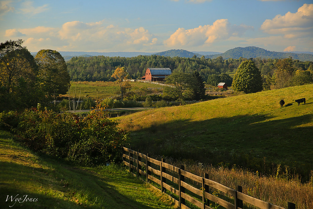
Overlooking Burke's Garden

Valley View II From SR 623 - Burke's Garden, VA

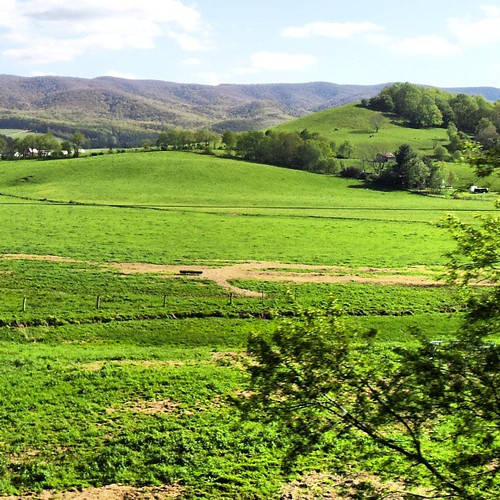
Farm View II from VA SR 623 - Burke's Garden, VA
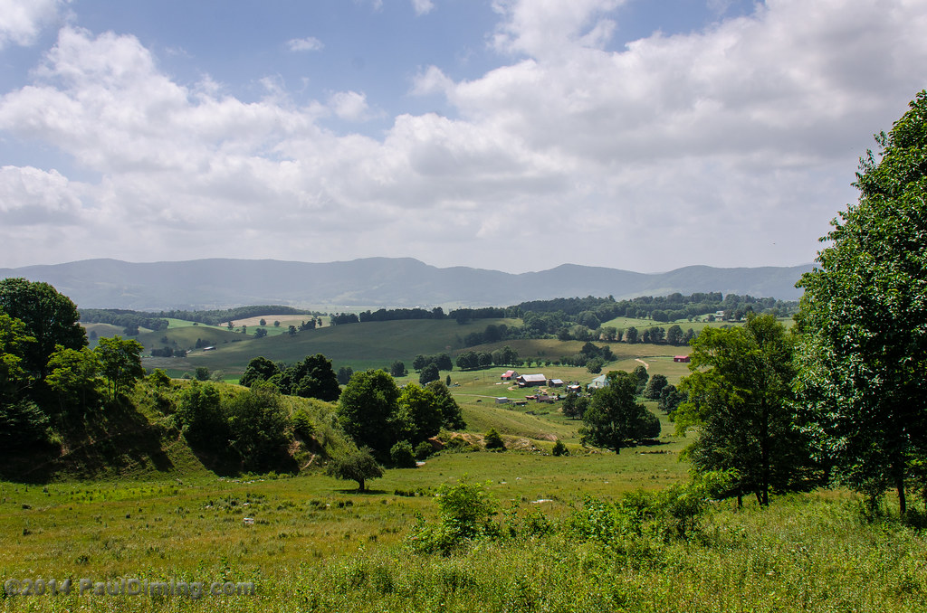
Valley View From SR 623 - Burke's Garden, VA

Farm View from VA SR 623 - Burke's Garden, VA
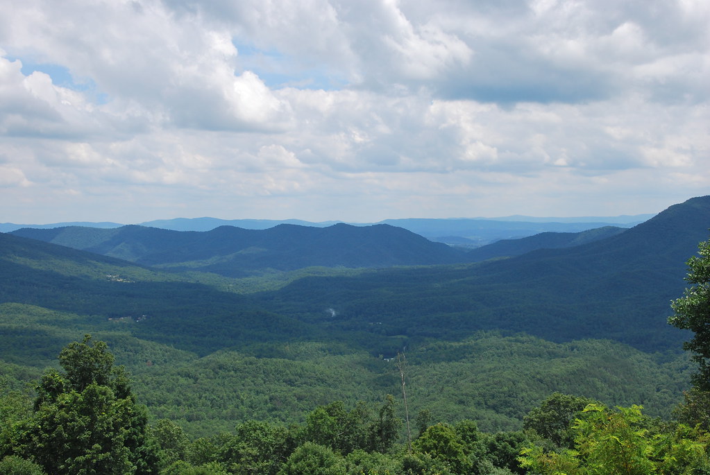
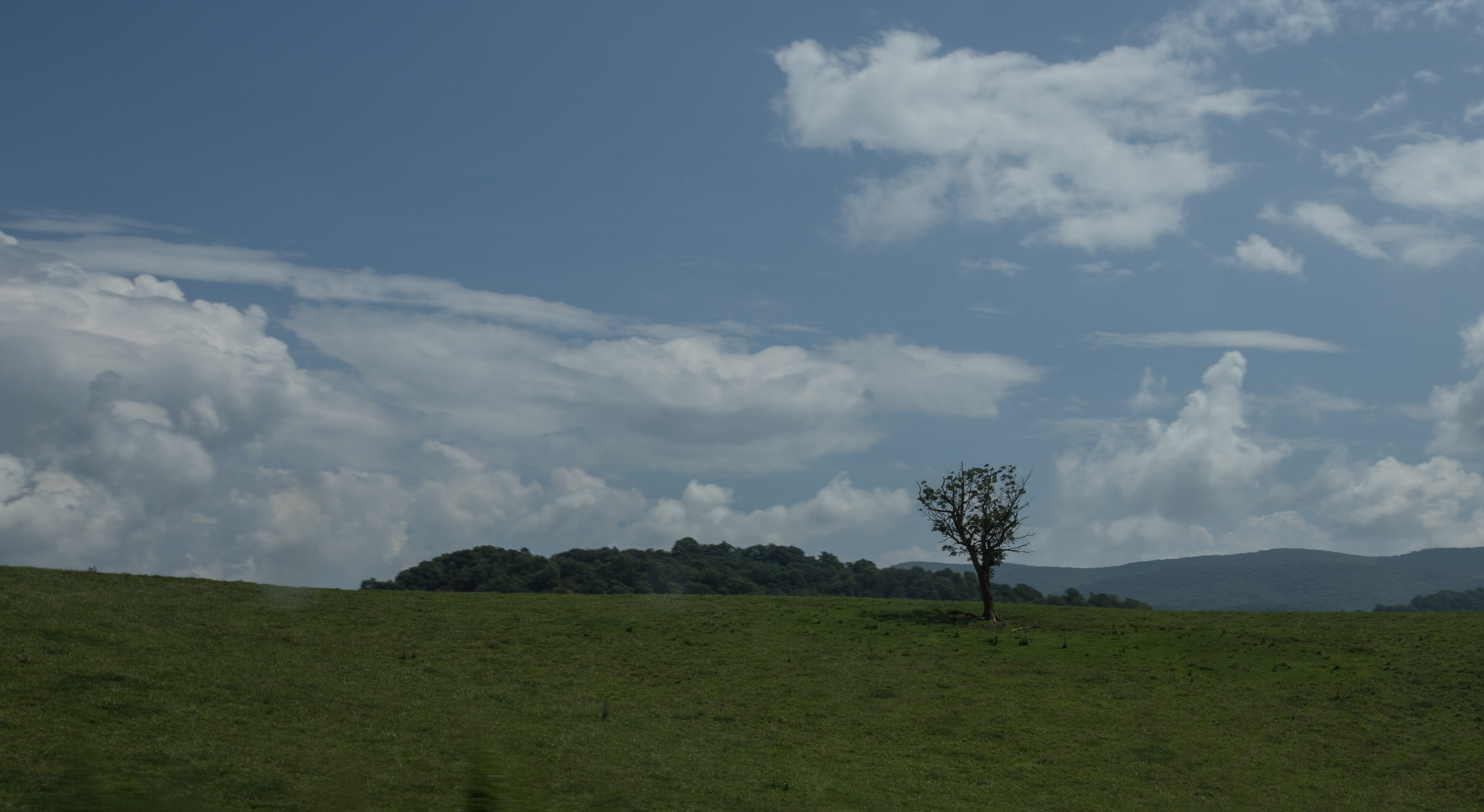
View from Big Walker Mountain
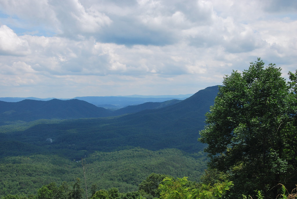
View from Big Walker Mountain
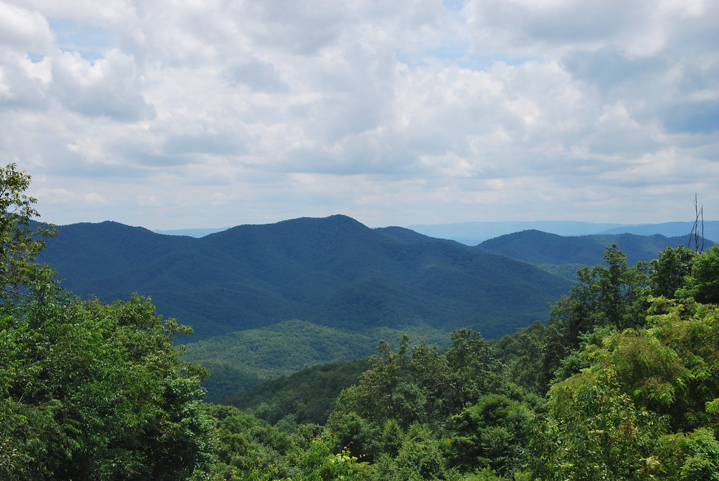
View from Big Walker Mountain
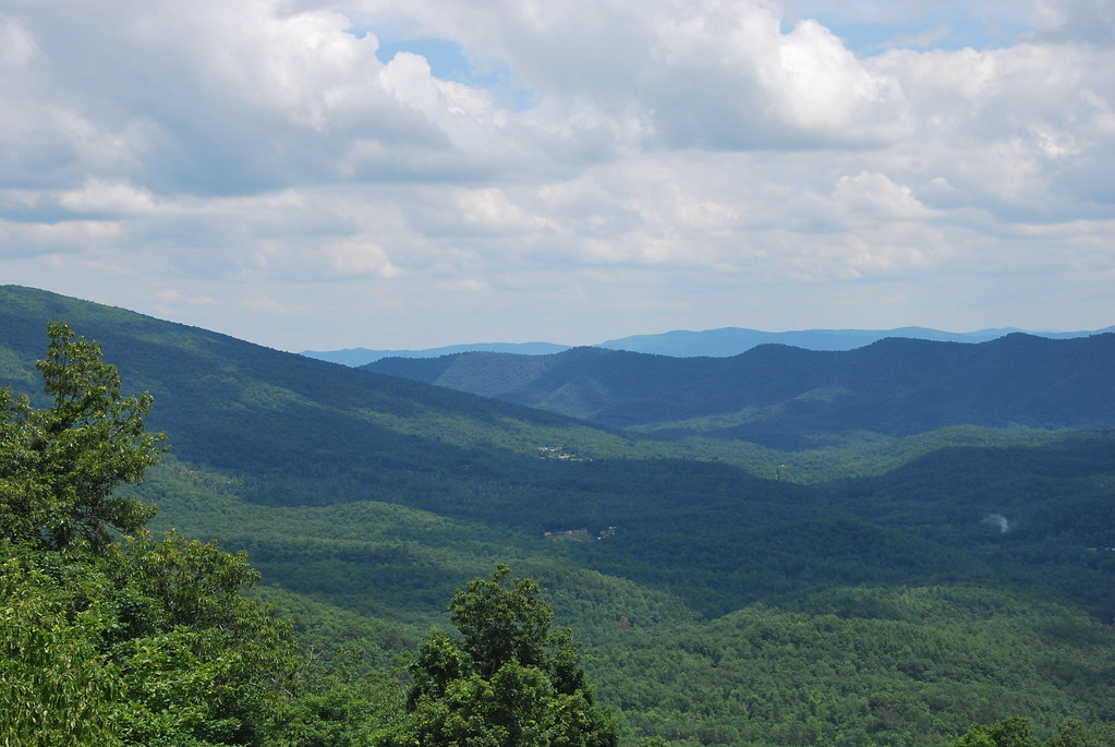
View from Big Walker Mountain
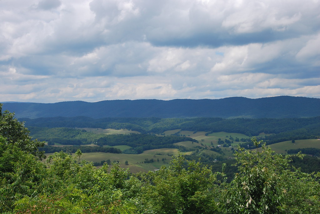
View from Big Walker Mountain

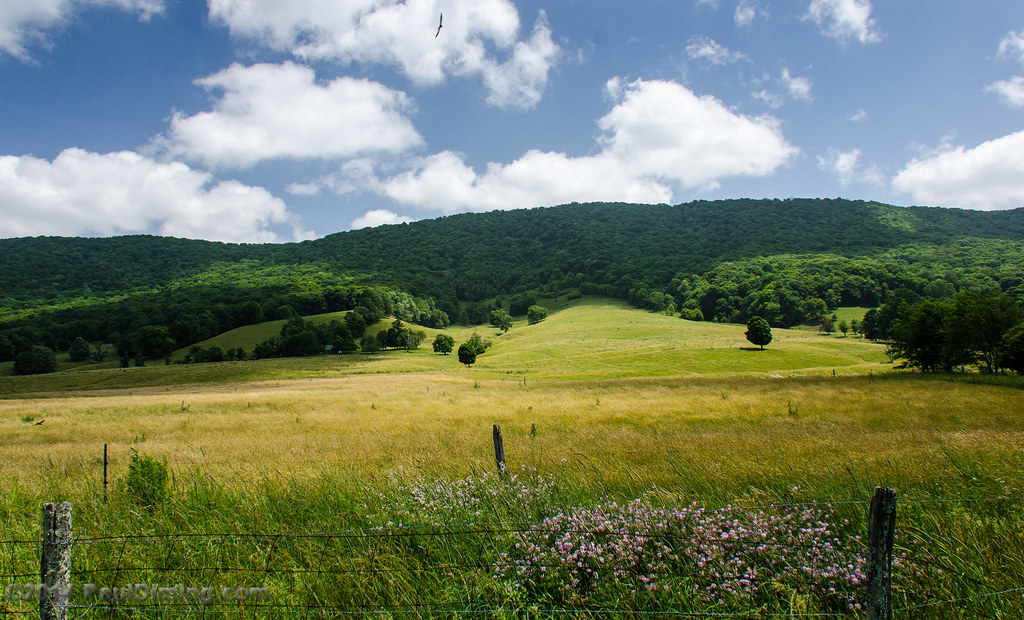
Flame Valley
Rural Retreat
Wytheville,VA1
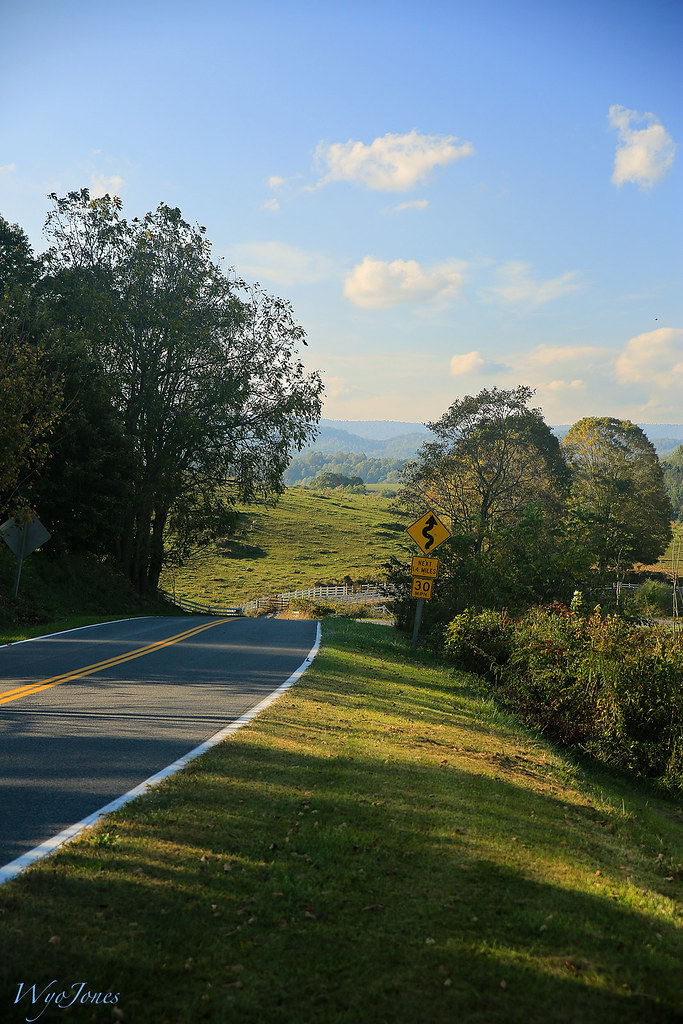
Rural Road

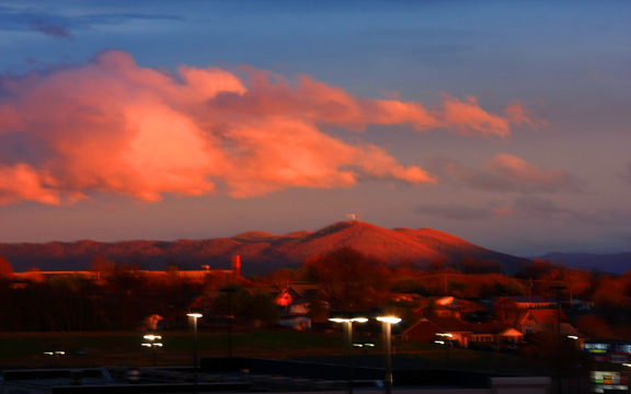
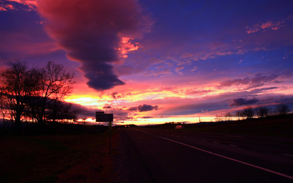
Sunset in southwest Virginia.
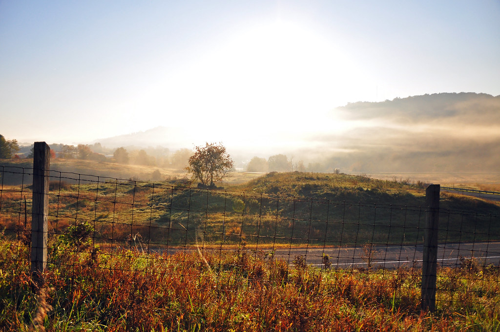
Virginia Fog

Eastern Rim from Medley Valley Road - Burke's Garden, VA
Eastern Rim from Medley Valley Road II - Burke's Garden, VA
IMG_2878.jpg
Virginia is Beautiful

Bridge 356-15

Sunset at Crockett
Wytheville,VA sunset16
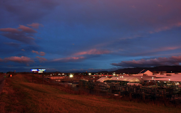
Wytheville,VA sunset17

130716-3453 Wytheville

Bridge 356-14
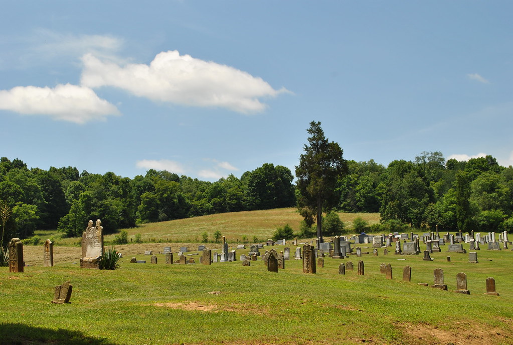
SHARON LUTHERAN CEMETERY
Topographic Map of Black Lick, VA, USA
Find elevation by address:

Places in Black Lick, VA, USA:
Places near Black Lick, VA, USA:
764 Va-90
97 E Buck Ave
305 Church St
Evergreen Avenue
Rural Retreat
942 Ravens Cliff Dr
Murphyville Rd, Rural Retreat, VA, USA
451 4 Seasons Rd
123 Swallow Hollow Rd
Dry Gulch Road
West Blue Grass Trail
3919 W Lee Hwy
151 Dry Gulch Rd
151 Dry Gulch Rd
Ceres
379 Gullion Fork Rd
Gullion Fork Road
143 Gullion Fork Rd
10315 W Blue Grass Trail
1167 Davis Valley Rd
Recent Searches:
- Elevation of Kreuzburger Weg 13, Düsseldorf, Germany
- Elevation of Gateway Blvd SE, Canton, OH, USA
- Elevation of East W.T. Harris Boulevard, E W.T. Harris Blvd, Charlotte, NC, USA
- Elevation of West Sugar Creek, Charlotte, NC, USA
- Elevation of Wayland, NY, USA
- Elevation of Steadfast Ct, Daphne, AL, USA
- Elevation of Lagasgasan, X+CQH, Tiaong, Quezon, Philippines
- Elevation of Rojo Ct, Atascadero, CA, USA
- Elevation of Flagstaff Drive, Flagstaff Dr, North Carolina, USA
- Elevation of Avery Ln, Lakeland, FL, USA