Elevation of Old Mountain Rd, Wytheville, VA, USA
Location: United States > Virginia > Wythe County > Wytheville >
Longitude: -81.154636
Latitude: 36.8612647
Elevation: 872m / 2861feet
Barometric Pressure: 91KPa
Elevation Map:
Satellite Map:
Related Photos:

Town of Rural Retreat
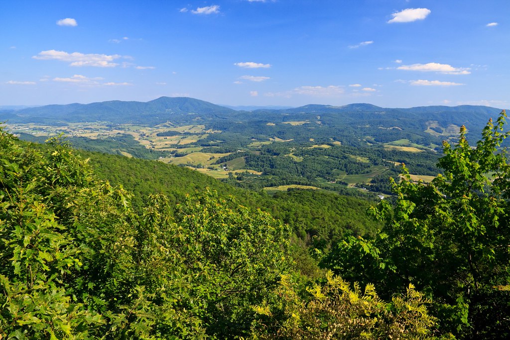
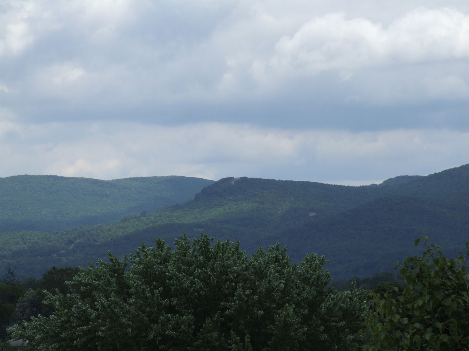
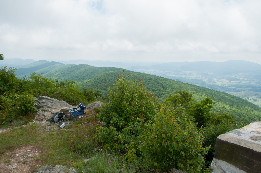
View from Comers Rock
View from W4V/WV-013 - Comers Rock
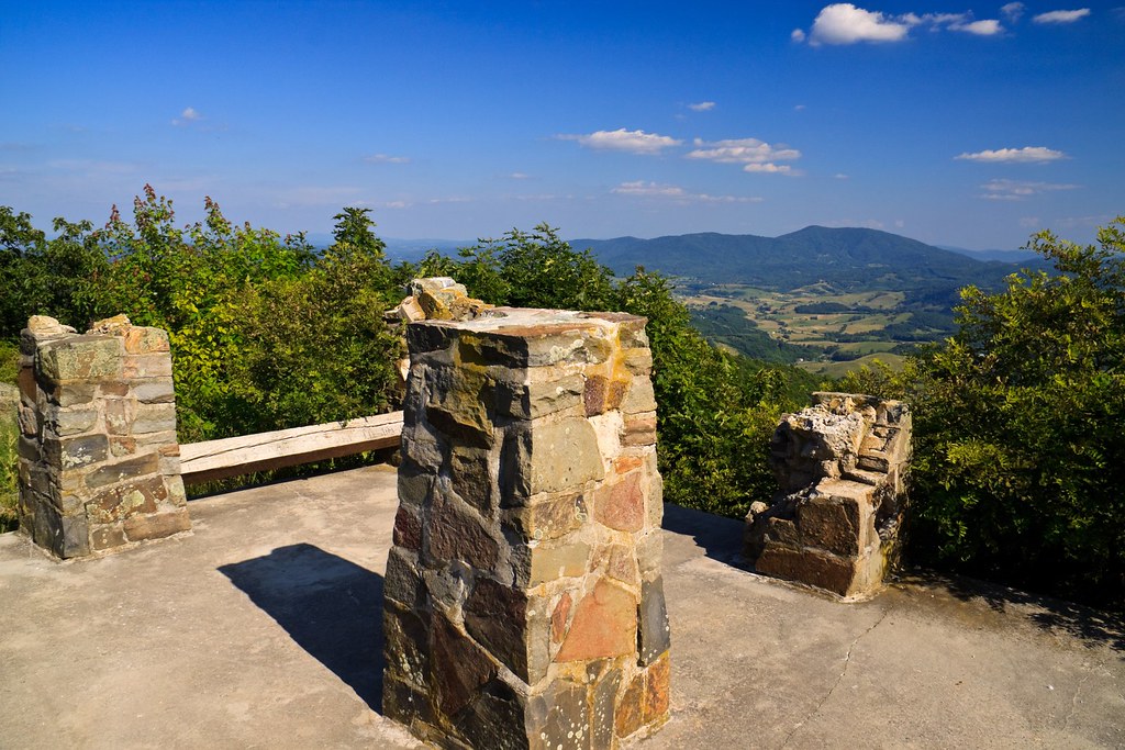
Comers Rock Overlook
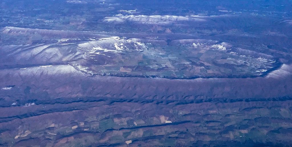
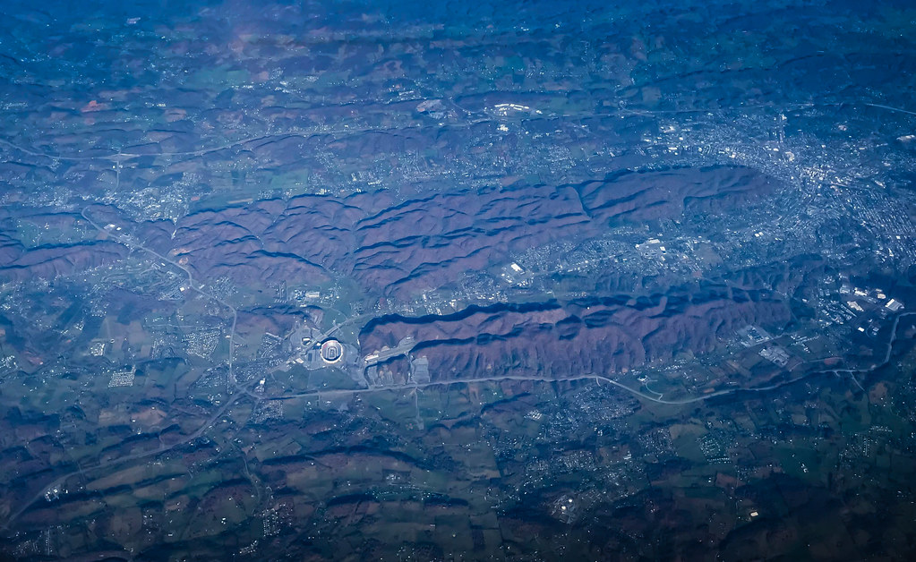
Aerial view of Blue Ridge Mountains and Shenandoah Valley near Blacksburg VA
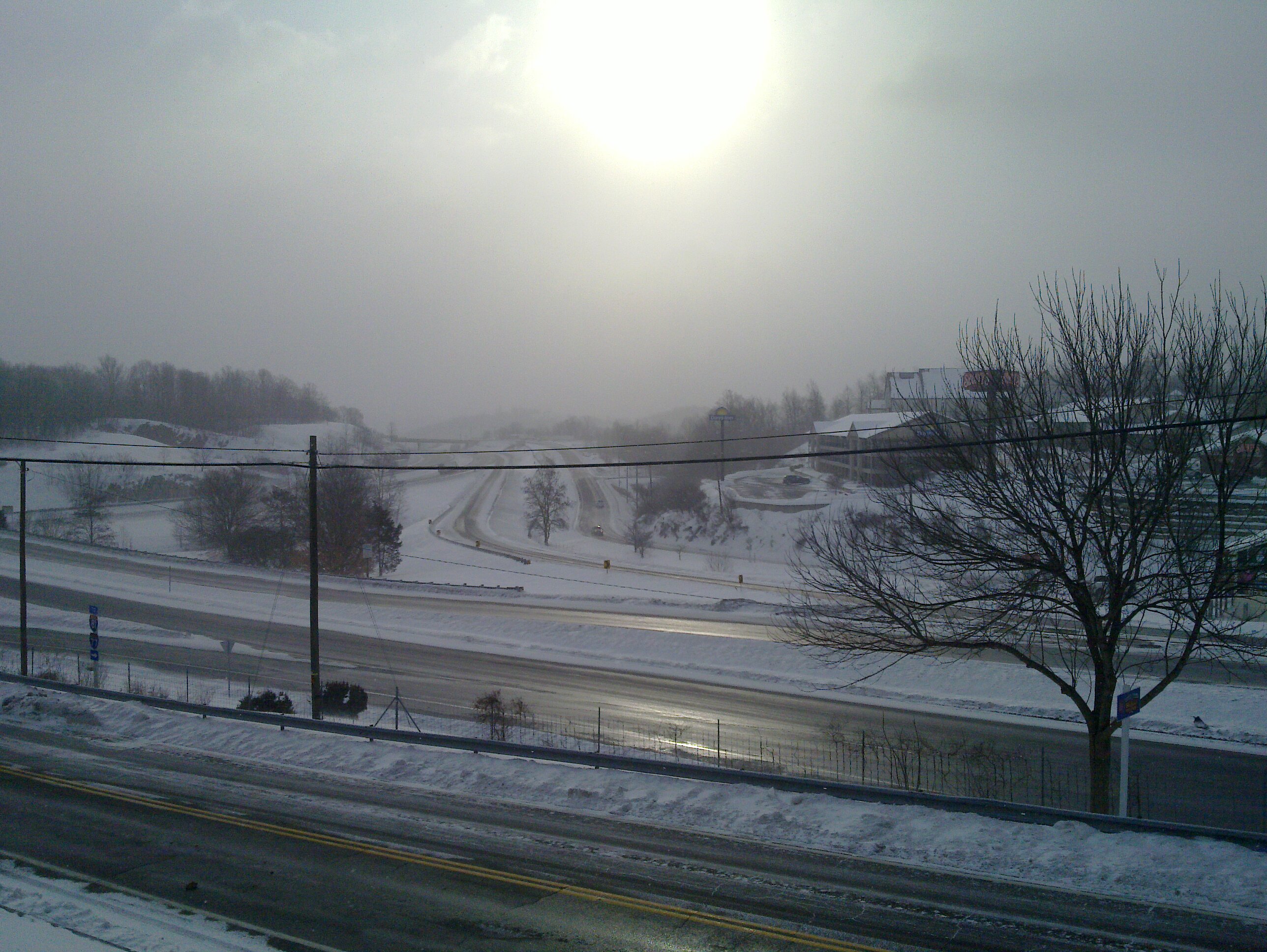
Winter will not let us escape his grasp
Aerial view of Virginia Tech University Lane Stadium and Shenandoah Valley - Blacksburg VA

View from roof of Bolling Wilson Hotel
Rural Retreat

Wytheville,VA sunset16
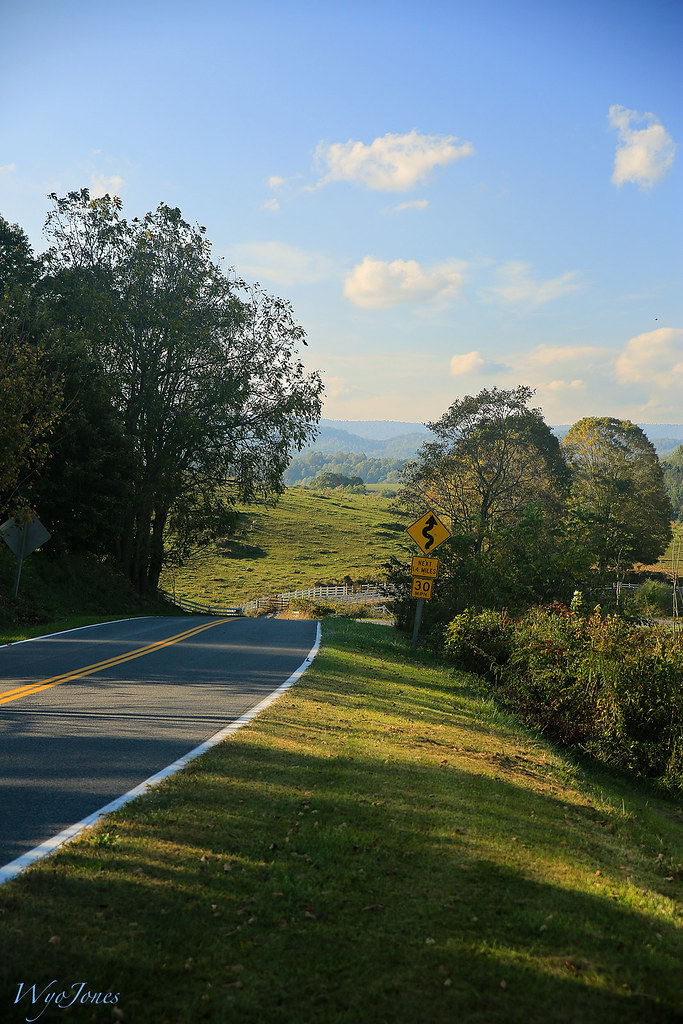
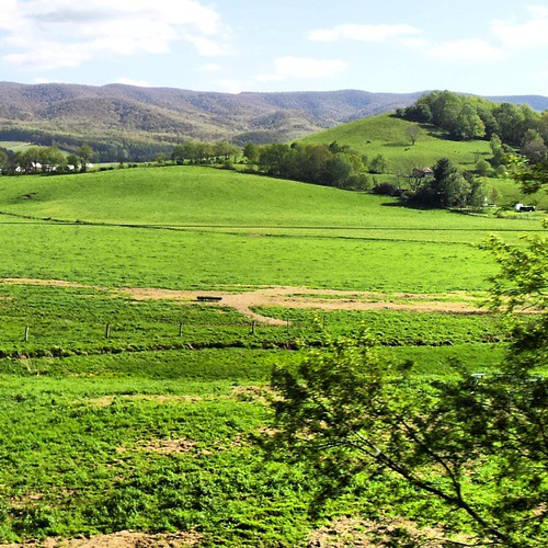
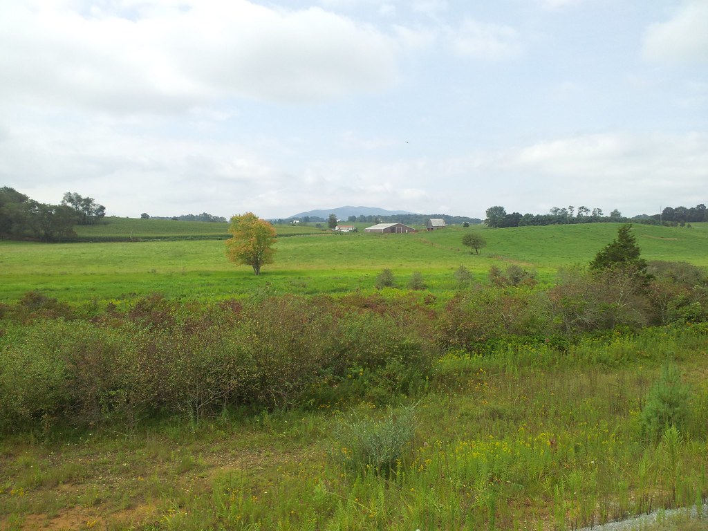
Rural Road
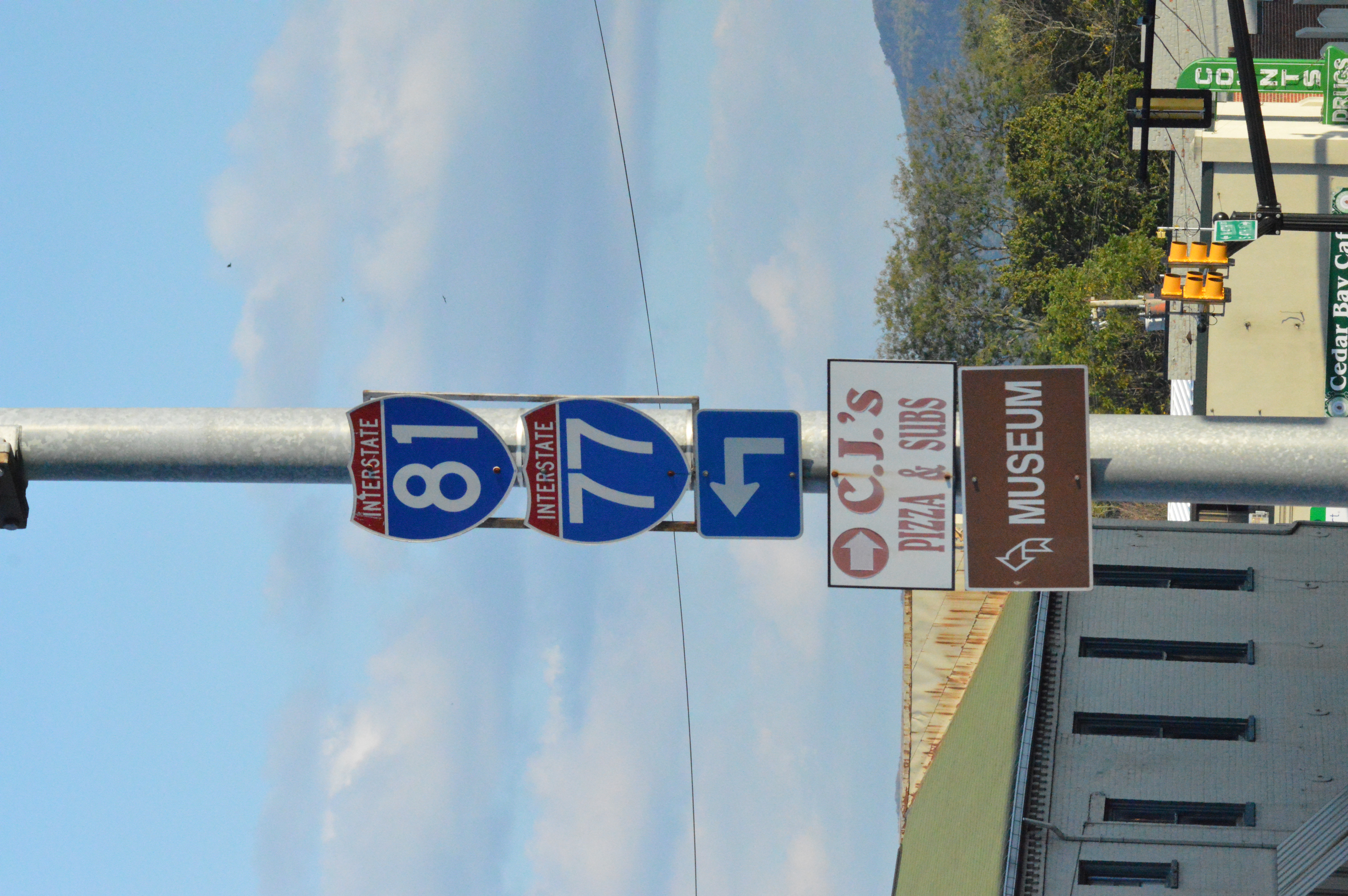
I-81 and I-77 shields Wytheville, VA
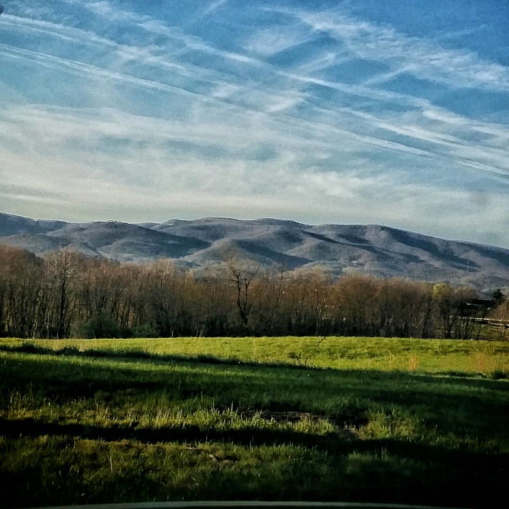
In the foothills of the Blue Ridge Mountains #virginia #america #mountains #sunrise #goodmorning #blueskies #travel #roadtrip #theroadlesstraveled #driving #igersbuffalo
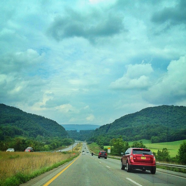
Driving through beautiful landscapes on an overcast day
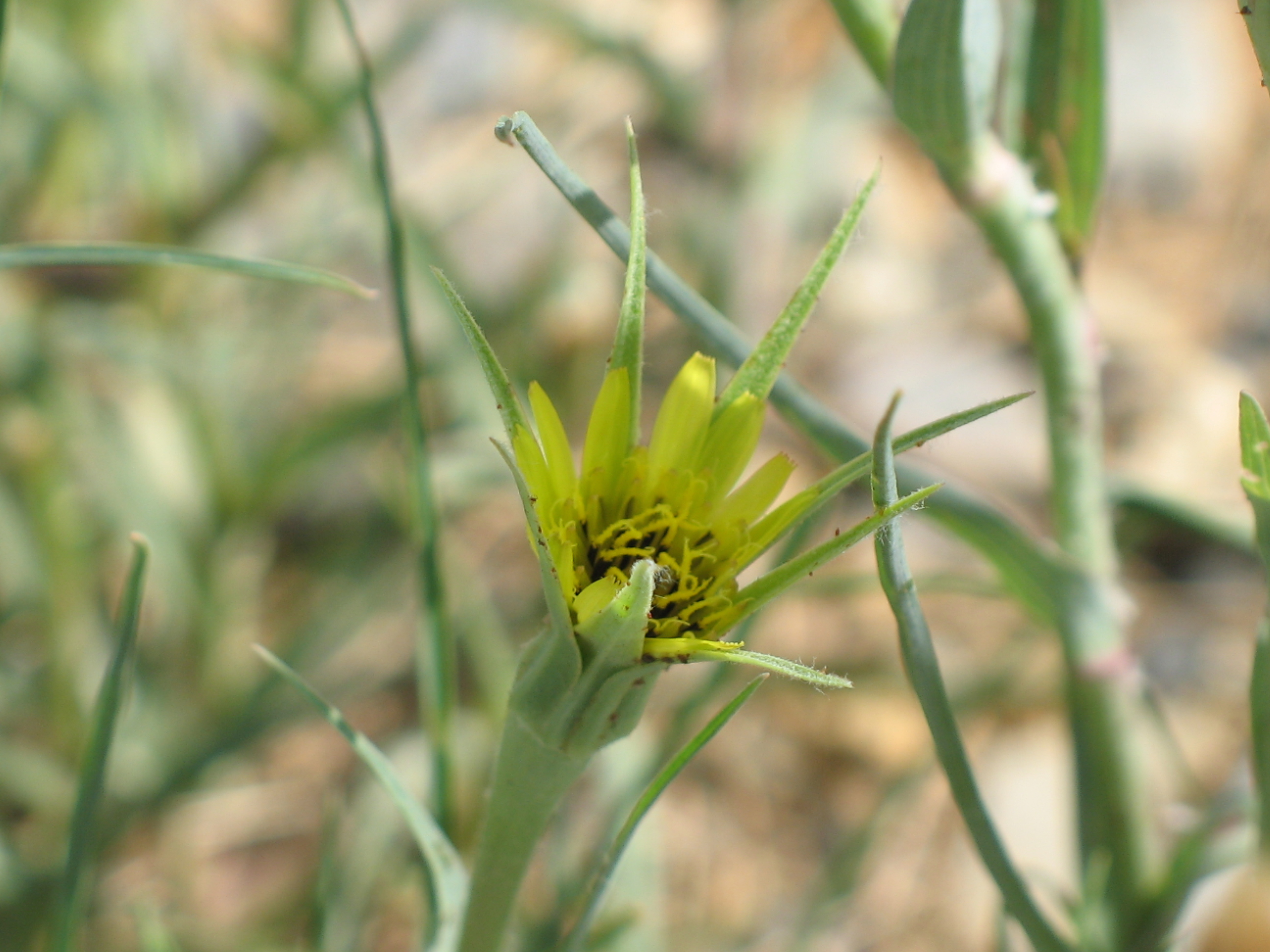
Yellow Goatsbeard - Tragopogon dubius
Virginia is Beautiful
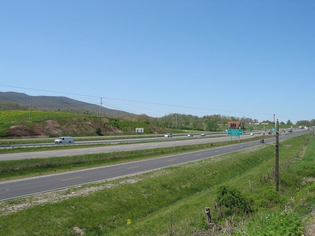
I81 from Wytheville va

11-4455
2009-07-03 - Soccer Camp (40)
64/180 4/20/13 Bike 180 2013
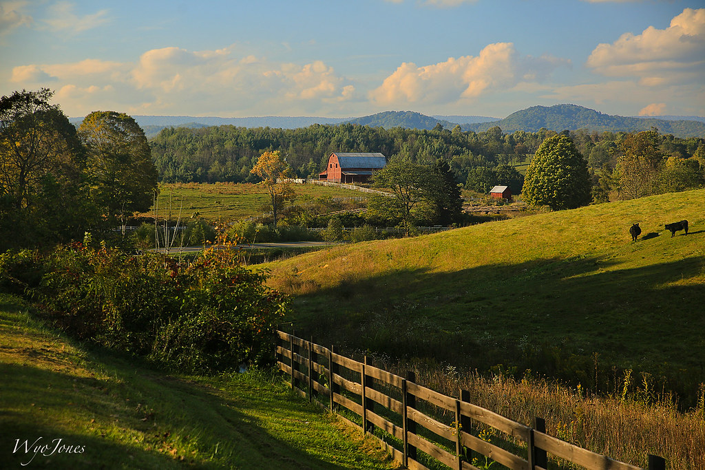
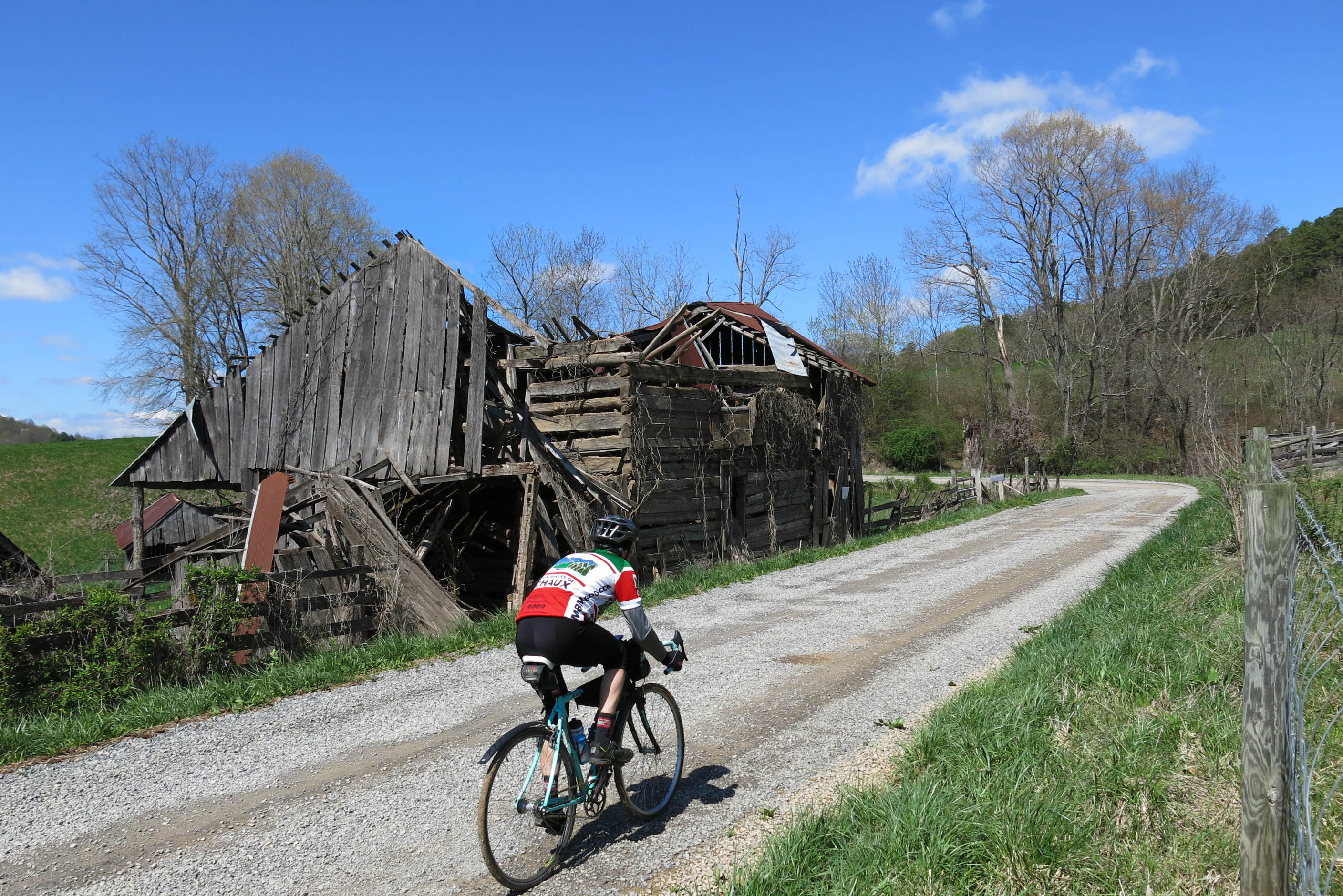
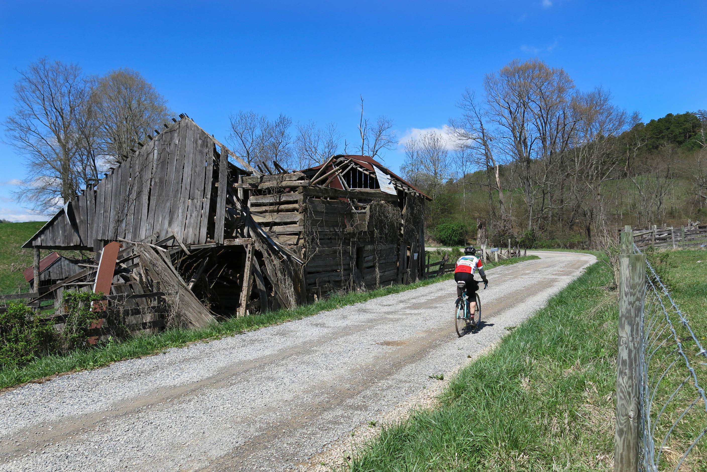
Barn Near Crockett

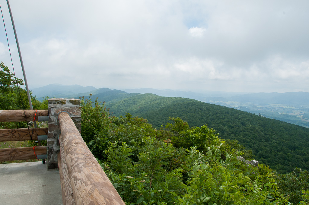
Short Trail to W4V/WV-013 - Comers Rock
Zion Church Rd., Wythe County, Va
QTH on W4V/WV-013 - Comers Rock
Hungry?
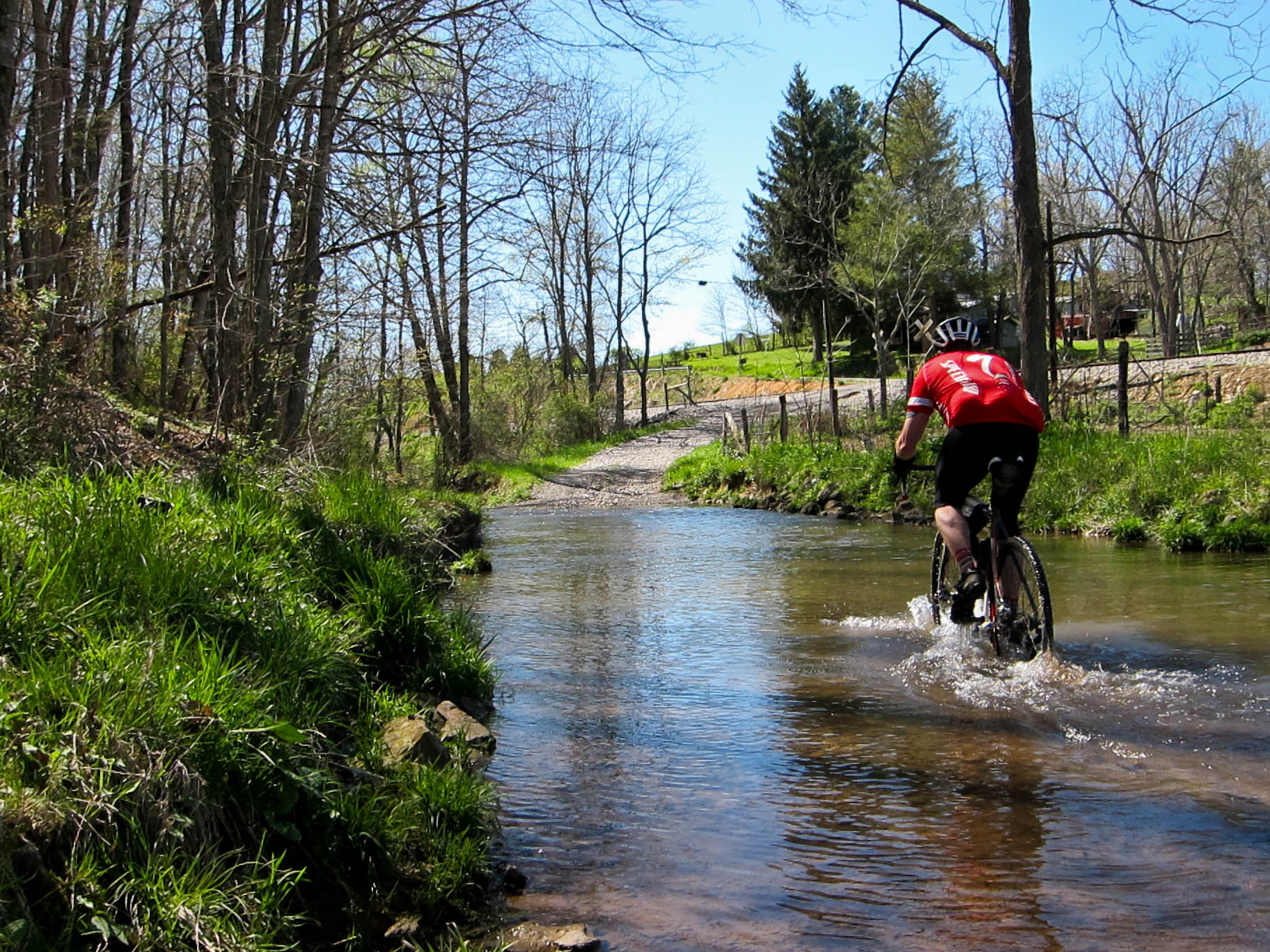
Ford on Johnny Lane
Topographic Map of Old Mountain Rd, Wytheville, VA, USA
Find elevation by address:

Places near Old Mountain Rd, Wytheville, VA, USA:
1053 Crockett Rd
1053 Crockett Rd
Speedwell
Crockett
Speedwell
736 Zion Church Rd
107 Peachtree Ln
327 S Wye Rd
Cripple Creek
7657 Grayson Turnpike
Appalachian Mountains
Mule Hell Road
Sand Mountain
Iron Mountain Horse Camp
4449 Arrowhead Dr
White Tail Lane
1419 Hunters Ln
3 Spring Valley Rd
11170 Elk Creek Pkwy
Huddle
Recent Searches:
- Elevation of 4 Vale Rd, Sheffield S3 9QX, UK
- Elevation of Keene Point Drive, Keene Point Dr, Grant, AL, USA
- Elevation of State St, Zanesville, OH, USA
- Elevation of Austin Stone Dr, Haslet, TX, USA
- Elevation of Bydgoszcz, Poland
- Elevation of Bydgoszcz, Poland
- Elevation of Calais Dr, Del Mar, CA, USA
- Elevation of Placer Mine Ln, West Jordan, UT, USA
- Elevation of E 63rd St, New York, NY, USA
- Elevation of Elk City, OK, USA