Elevation of Co Rd 97, Wilmar, AR, USA
Location: United States > Arkansas > Drew County > Clear Creek Township >
Longitude: -91.906295
Latitude: 33.762237
Elevation: 62m / 203feet
Barometric Pressure: 101KPa
Elevation Map:
Satellite Map:
Related Photos:

Beauty from Above
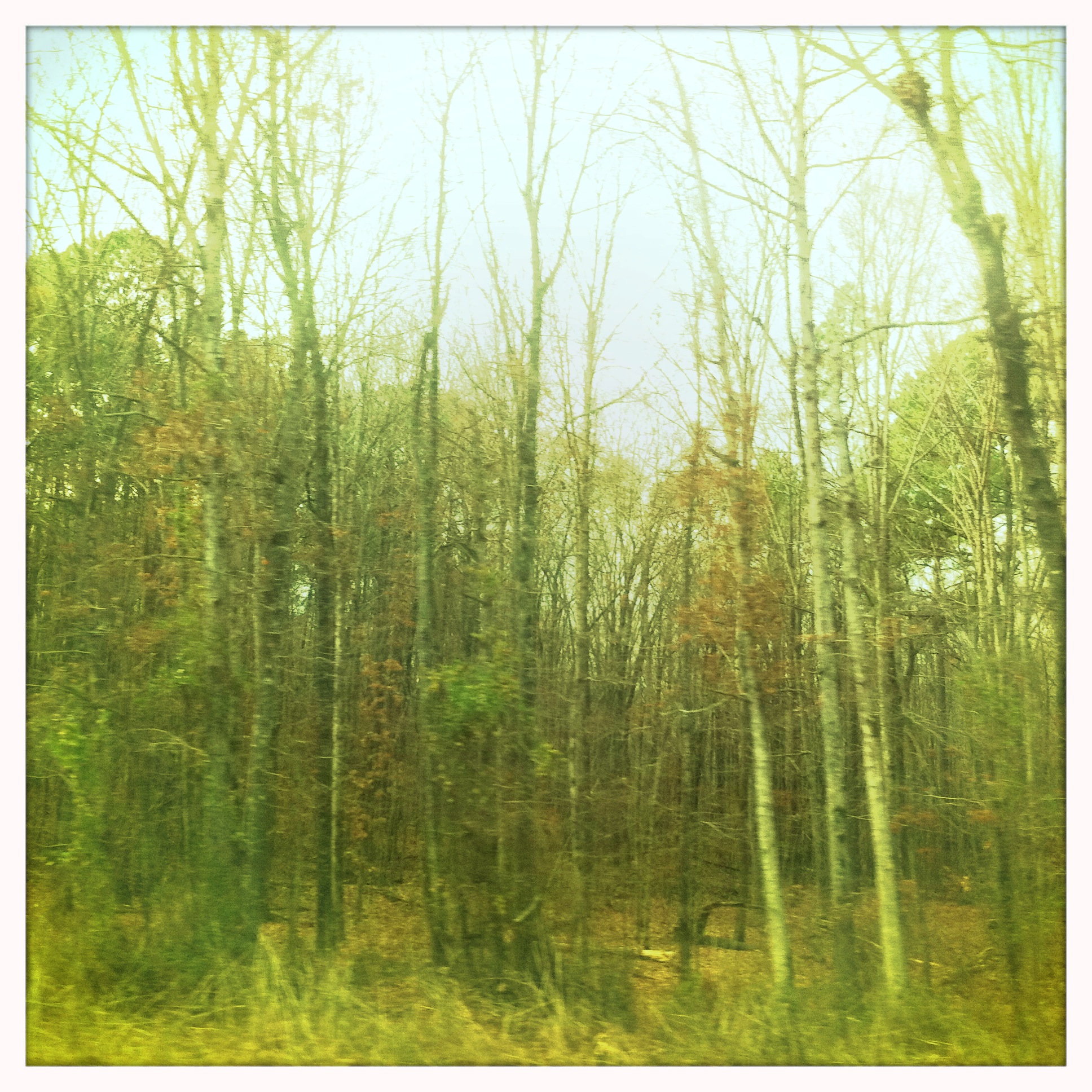
Arkansas Road 1

#9

#1

#5
#4

#2
#6

#3
#8
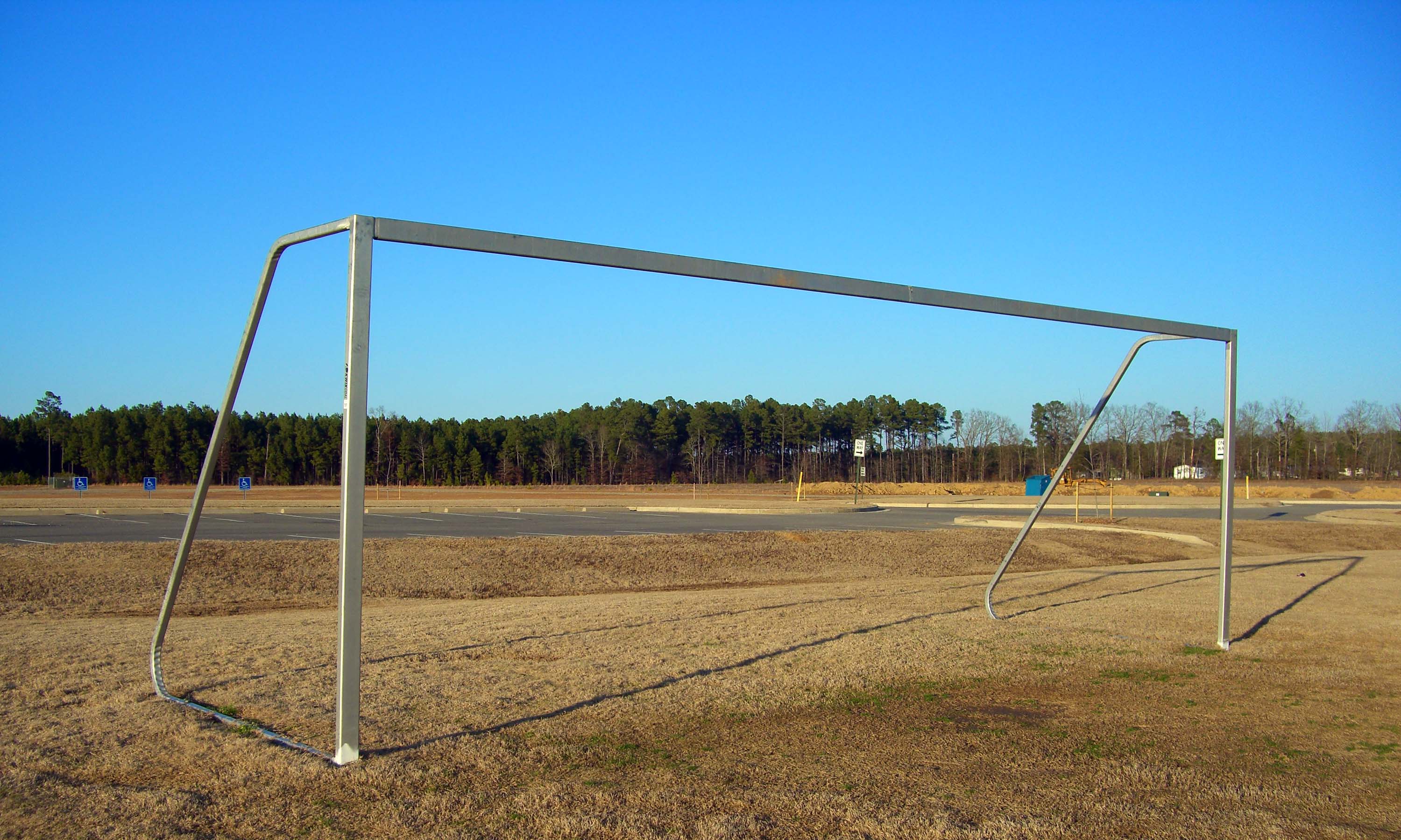
sports complex
#10
#7
Topographic Map of Co Rd 97, Wilmar, AR, USA
Find elevation by address:

Places near Co Rd 97, Wilmar, AR, USA:
Clear Creek Township
Mill Creek Township
James Rd, Star City, AR, USA
Hurricane Township
Lone Pine Township
20272 Us-425
US-63, Rison, AR, USA
30299 Ar-11
3436 Goodfellow Rd
20161 Us-425
Owen Township
Rowell Township
Star City
AR-54, Dumas, AR, USA
Cane Creek Township
AR-54, Star City, AR, USA
US Hwy 63, Rison, AR, USA
902 Avalon Rd
Lee Township
Gateway Rd, Star City, AR, USA
Recent Searches:
- Elevation of Shibuya Scramble Crossing, 21 Udagawacho, Shibuya City, Tokyo -, Japan
- Elevation of Jadagoniai, Kaunas District Municipality, Lithuania
- Elevation of Pagonija rock, Kranto 7-oji g. 8"N, Kaunas, Lithuania
- Elevation of Co Rd 87, Jamestown, CO, USA
- Elevation of Tenjo, Cundinamarca, Colombia
- Elevation of Côte-des-Neiges, Montreal, QC H4A 3J6, Canada
- Elevation of Bobcat Dr, Helena, MT, USA
- Elevation of Zu den Ihlowbergen, Althüttendorf, Germany
- Elevation of Badaber, Peshawar, Khyber Pakhtunkhwa, Pakistan
- Elevation of SE Heron Loop, Lincoln City, OR, USA