Elevation of Drew County, AR, USA
Location: United States > Arkansas >
Longitude: -91.753881
Latitude: 33.5156463
Elevation: 74m / 243feet
Barometric Pressure: 100KPa
Elevation Map:
Satellite Map:
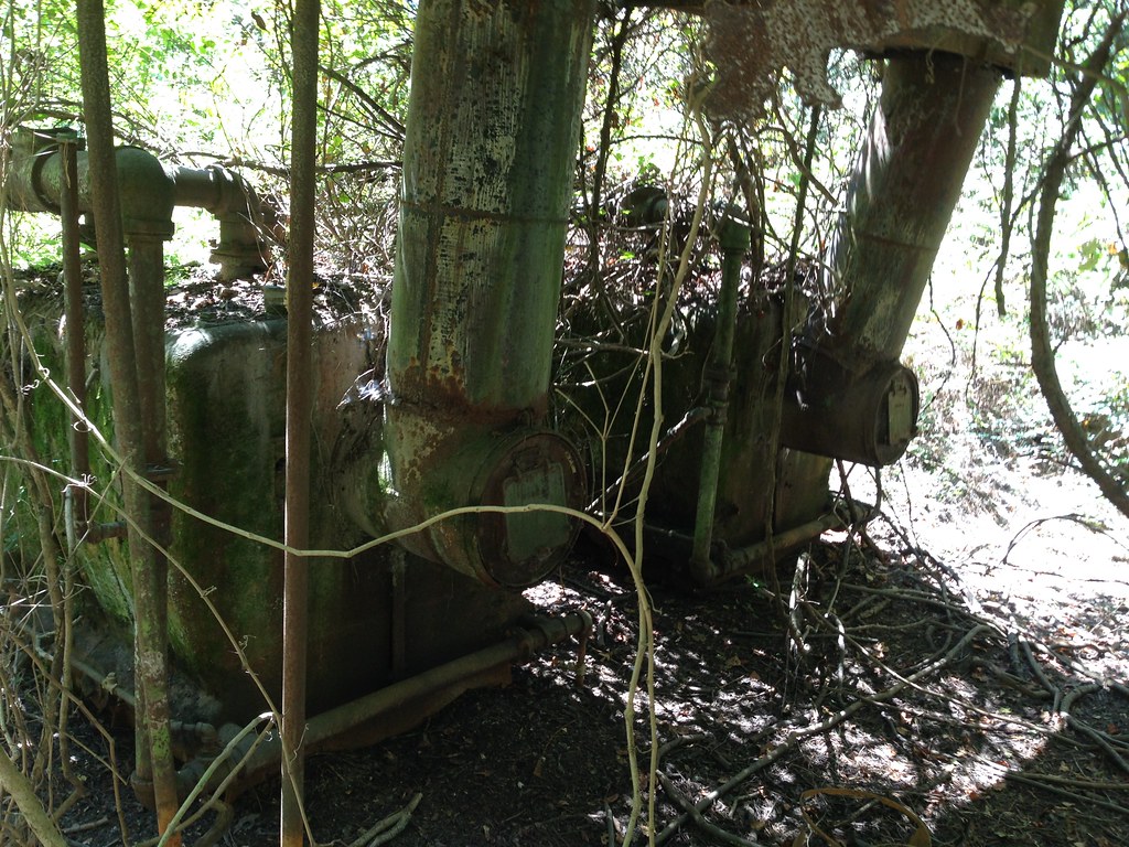
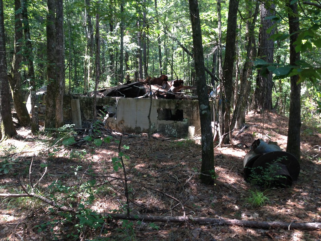
Related Photos:

Geese in the pasture

#9

#5
#4
#10

#1
#3
#2
#6
#7
#8
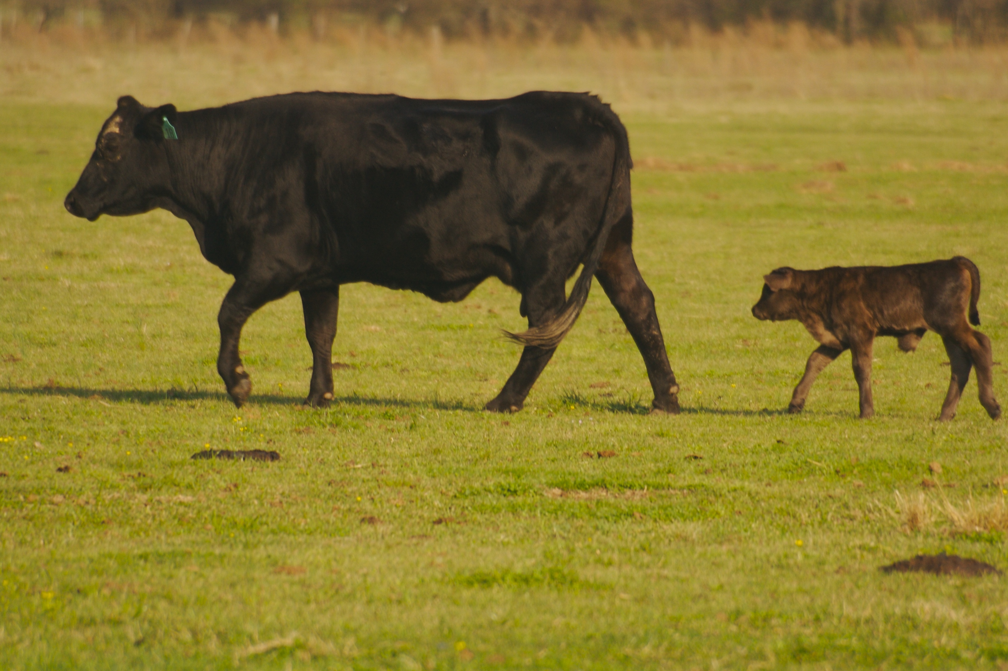
Bovine!!

Venus in the sky

Skyler in the pasture
2014-08-28 12.31.45
2014-08-28 12.29.06
Topographic Map of Drew County, AR, USA
Find elevation by address:

Places in Drew County, AR, USA:
Veasey Township
Marion Township
Saline Township
Clear Creek Township
Franklin Township
Veasey Township
AR-, Winchester, AR, USA
Places near Drew County, AR, USA:
Drew County
Drew County
Drew County
Drew County
Veasey Township
Veasey Township
Veasey Township
Veasey Township
Veasey Township
Veasey Township
Co Rd 48, Monticello, AR, USA
Crestwood Drive
Marion Township
Monticello
US-, Fountain Hill, AR, USA
Goose Hollow Rd, Fountain Hill, AR, USA
Fountain Hill, AR, USA
220 Horn Loop
Co Rd 89, Monticello, AR, USA
White Township
Recent Searches:
- Elevation of Corso Fratelli Cairoli, 35, Macerata MC, Italy
- Elevation of Tallevast Rd, Sarasota, FL, USA
- Elevation of 4th St E, Sonoma, CA, USA
- Elevation of Black Hollow Rd, Pennsdale, PA, USA
- Elevation of Oakland Ave, Williamsport, PA, USA
- Elevation of Pedrógão Grande, Portugal
- Elevation of Klee Dr, Martinsburg, WV, USA
- Elevation of Via Roma, Pieranica CR, Italy
- Elevation of Tavkvetili Mountain, Georgia
- Elevation of Hartfords Bluff Cir, Mt Pleasant, SC, USA