Elevation of Co Rd 48, Monticello, AR, USA
Location: United States > Arkansas > Drew County > Marion Township > Monticello >
Longitude: -91.743993
Latitude: 33.6066655
Elevation: 68m / 223feet
Barometric Pressure: 101KPa
Elevation Map:
Satellite Map:
Related Photos:

Geese in the pasture

#9

#5
#4

#10

#1
#3

#2

#6
#7
#8
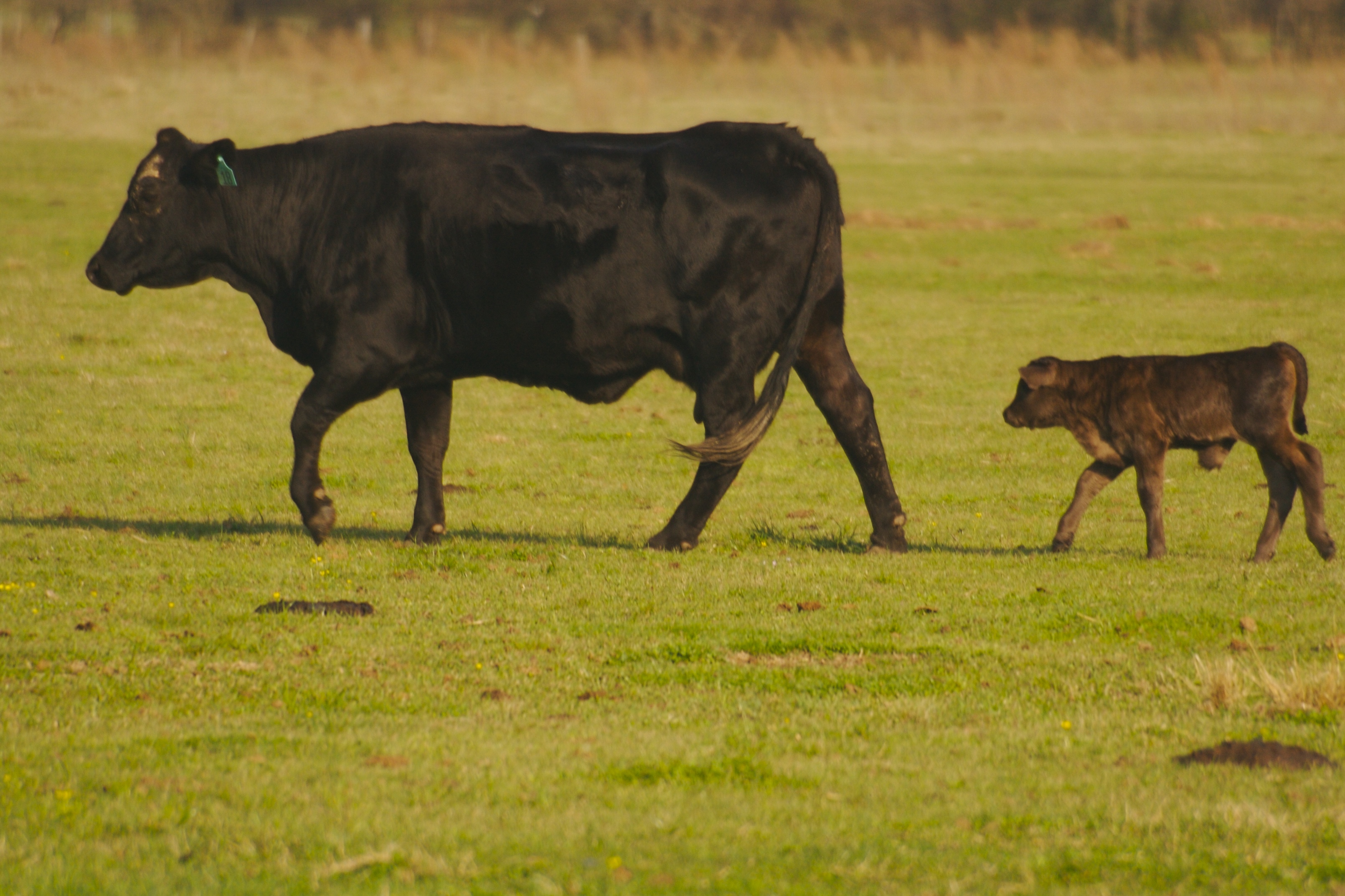
Bovine!!

Venus in the sky
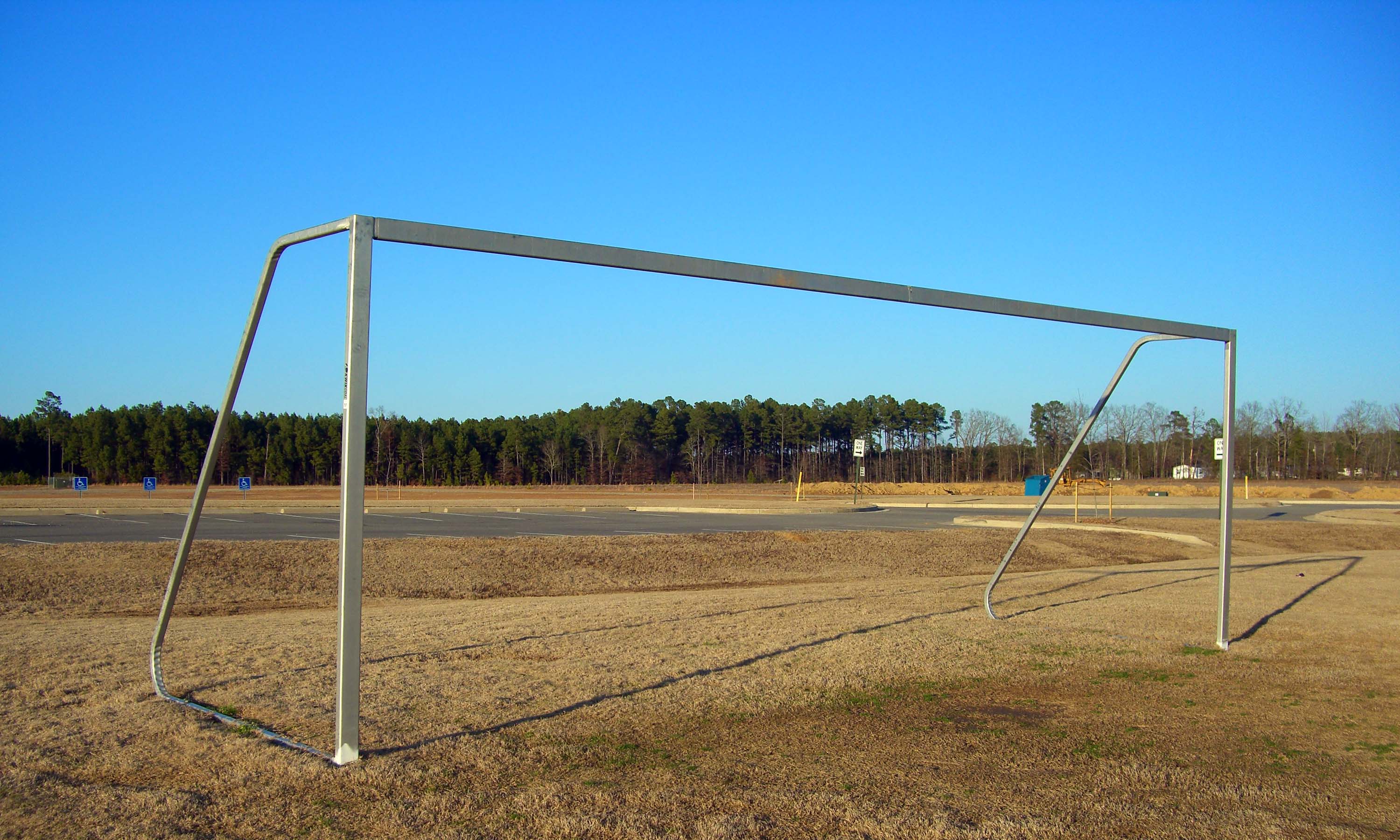
sports complex

Skyler in the pasture
2014-08-28 12.31.45
2014-08-28 12.29.06
Topographic Map of Co Rd 48, Monticello, AR, USA
Find elevation by address:

Places near Co Rd 48, Monticello, AR, USA:
Marion Township
Monticello
Crestwood Drive
Drew County
Drew County
Drew County
Drew County
Drew County
Co Rd 89, Monticello, AR, USA
Key Employment Inc
Veasey Township
Veasey Township
Veasey Township
Veasey Township
Veasey Township
Veasey Township
S Allis Rd, Wilmar, AR, USA
Saline Township
Wilmar
US-, Fountain Hill, AR, USA
Recent Searches:
- Elevation of Leyte Industrial Development Estate, Isabel, Leyte, Philippines
- Elevation of W Granada St, Tampa, FL, USA
- Elevation of Pykes Down, Ivybridge PL21 0BY, UK
- Elevation of Jalan Senandin, Lutong, Miri, Sarawak, Malaysia
- Elevation of Bilohirs'k
- Elevation of 30 Oak Lawn Dr, Barkhamsted, CT, USA
- Elevation of Luther Road, Luther Rd, Auburn, CA, USA
- Elevation of Unnamed Road, Respublika Severnaya Osetiya — Alaniya, Russia
- Elevation of Verkhny Fiagdon, North Ossetia–Alania Republic, Russia
- Elevation of F. Viola Hiway, San Rafael, Bulacan, Philippines