Elevation of Clear Creek Township, AR, USA
Location: United States > Arkansas > Drew County >
Longitude: -91.890388
Latitude: 33.7597076
Elevation: 61m / 200feet
Barometric Pressure: 101KPa
Elevation Map:
Satellite Map:
Related Photos:

Beauty from Above
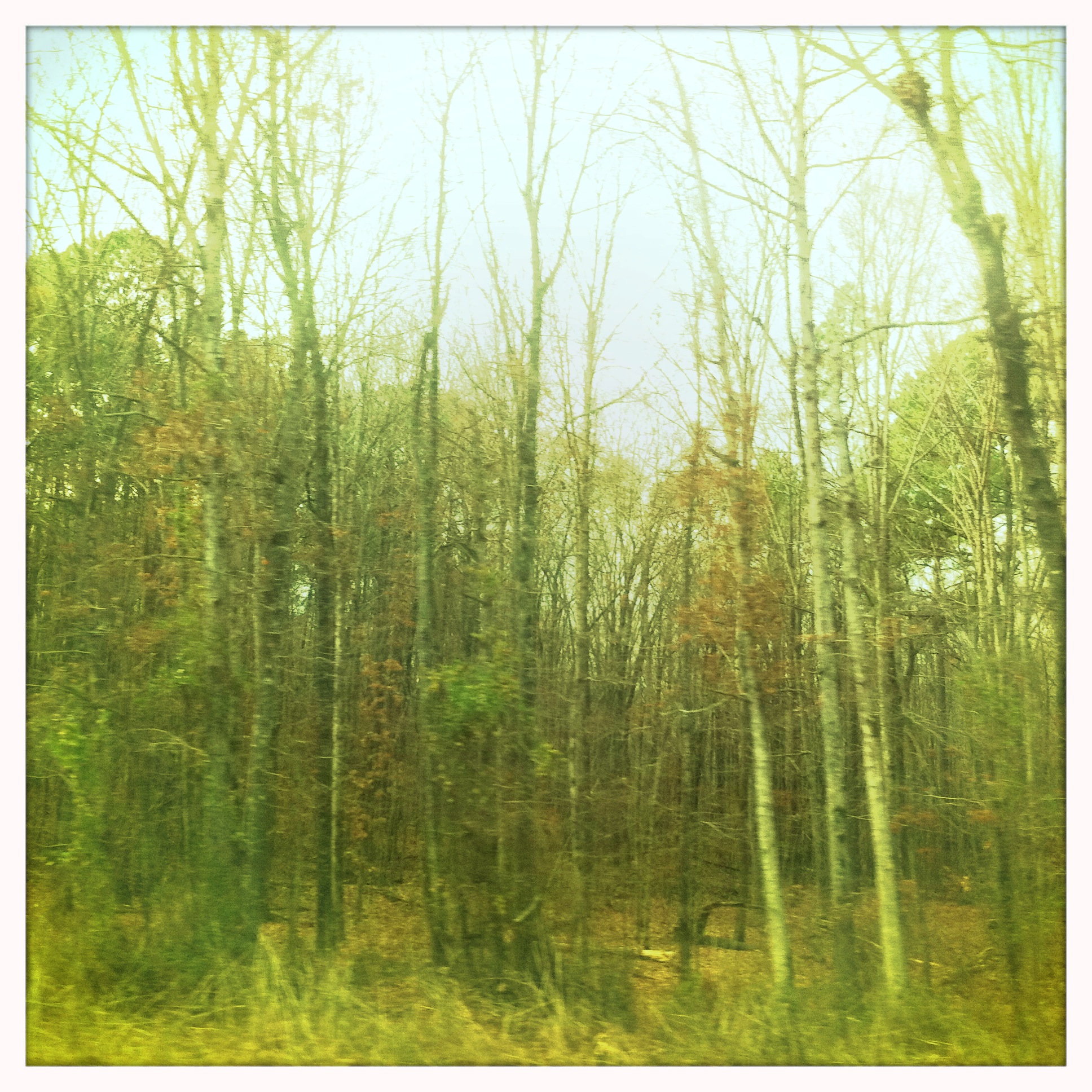
Arkansas Road 1
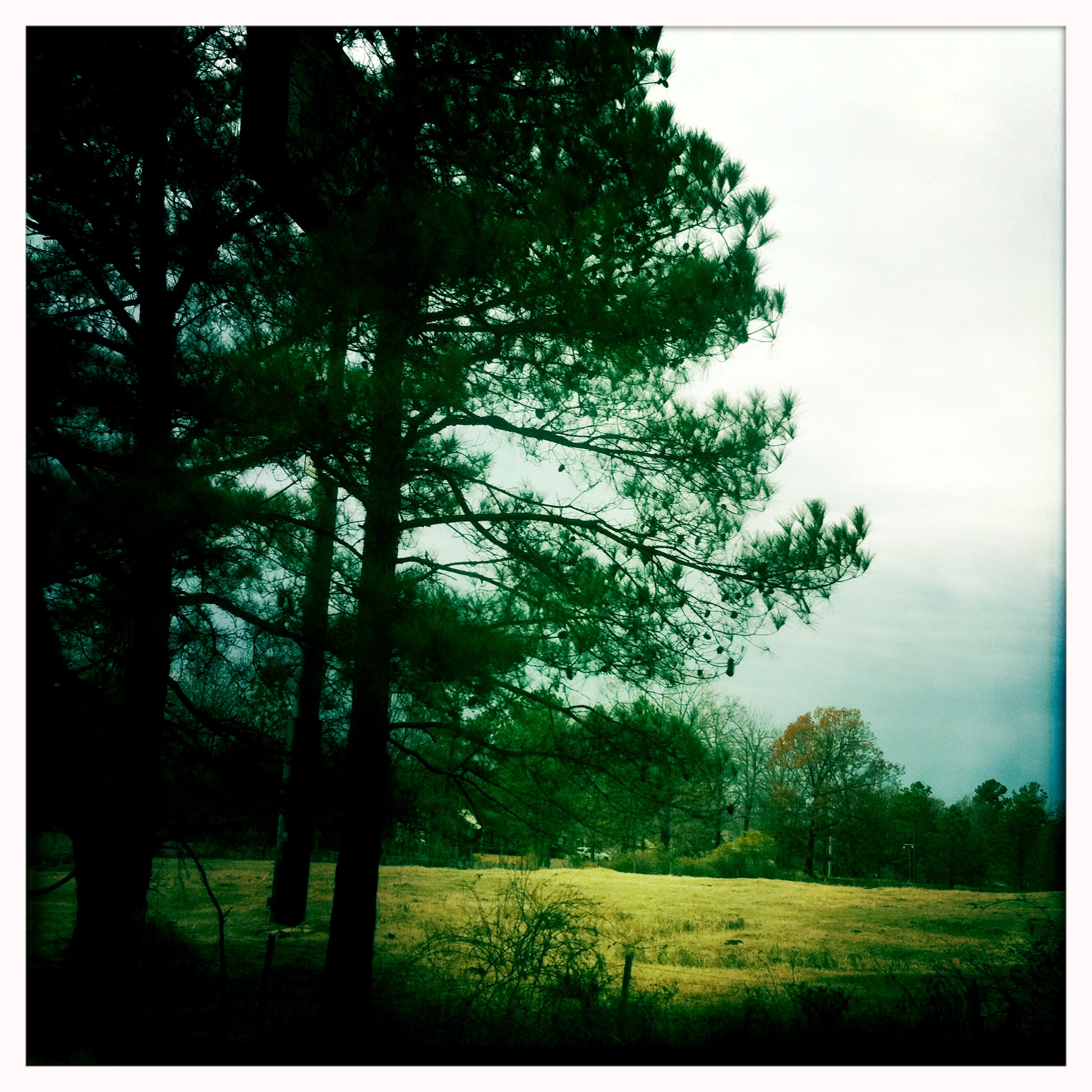
Arkansas Trip 1

#9

#1

#5
#4

#2
#6

#3
#8
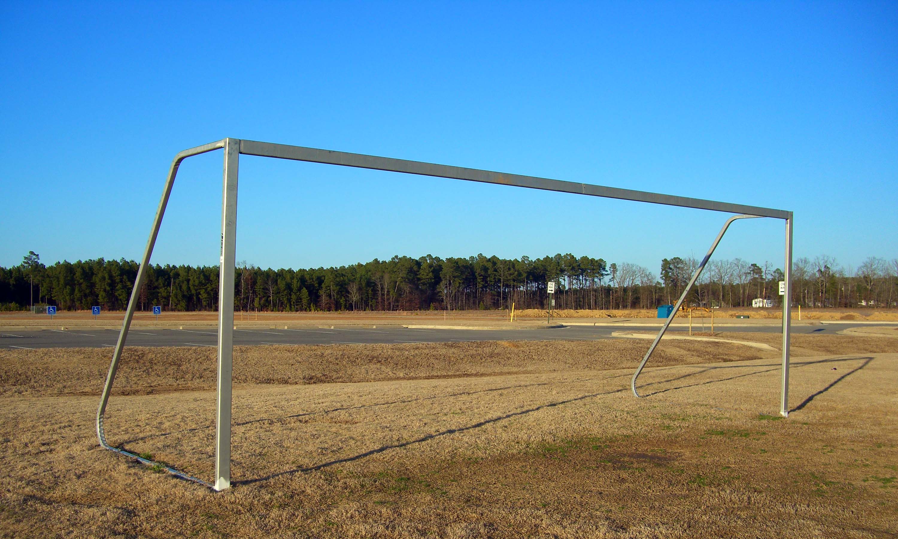
sports complex
#10
#7
Topographic Map of Clear Creek Township, AR, USA
Find elevation by address:

Places in Clear Creek Township, AR, USA:
Places near Clear Creek Township, AR, USA:
Co Rd 97, Wilmar, AR, USA
Mill Creek Township
James Rd, Star City, AR, USA
Hurricane Township
Lone Pine Township
20272 Us-425
3436 Goodfellow Rd
30299 Ar-11
20161 Us-425
US-63, Rison, AR, USA
Owen Township
AR-54, Dumas, AR, USA
Star City
Cane Creek Township
Rowell Township
Gateway Rd, Star City, AR, USA
N Hwy, Smith Township, AR, USA
AR-54, Star City, AR, USA
Smith Township
902 Avalon Rd
Recent Searches:
- Elevation of Dog Leg Dr, Minden, NV, USA
- Elevation of Dog Leg Dr, Minden, NV, USA
- Elevation of Kambingan Sa Pansol Atbp., Purok 7 Pansol, Candaba, Pampanga, Philippines
- Elevation of Pinewood Dr, New Bern, NC, USA
- Elevation of Mountain View, CA, USA
- Elevation of Foligno, Province of Perugia, Italy
- Elevation of Blauwestad, Netherlands
- Elevation of Bella Terra Blvd, Estero, FL, USA
- Elevation of Estates Loop, Priest River, ID, USA
- Elevation of Woodland Oak Pl, Thousand Oaks, CA, USA