Elevation of Star City, AR, USA
Location: United States > Arkansas > Lincoln County > Cane Creek Township >
Longitude: -91.843466
Latitude: 33.9428794
Elevation: 84m / 276feet
Barometric Pressure: 100KPa
Elevation Map:
Satellite Map:
Related Photos:
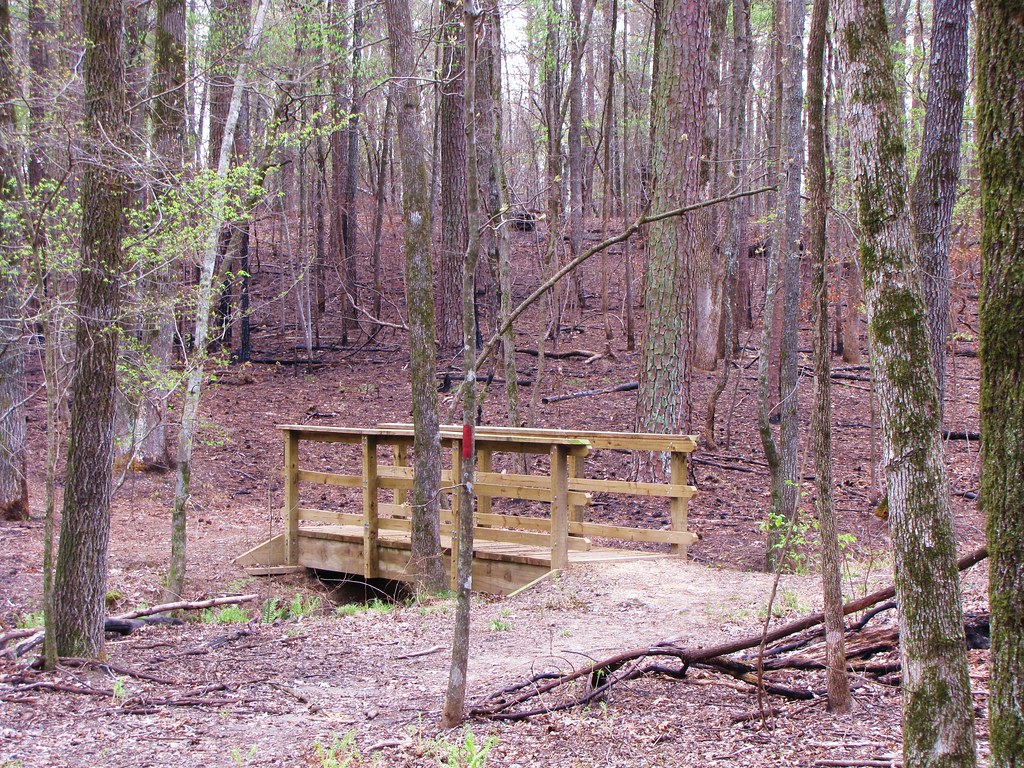
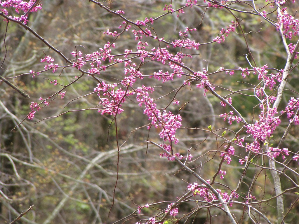
IMG_0483 (2)

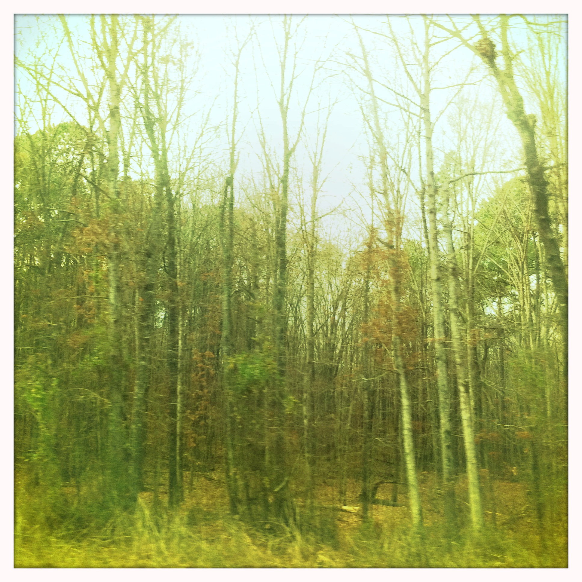
IMG_0487 (2)
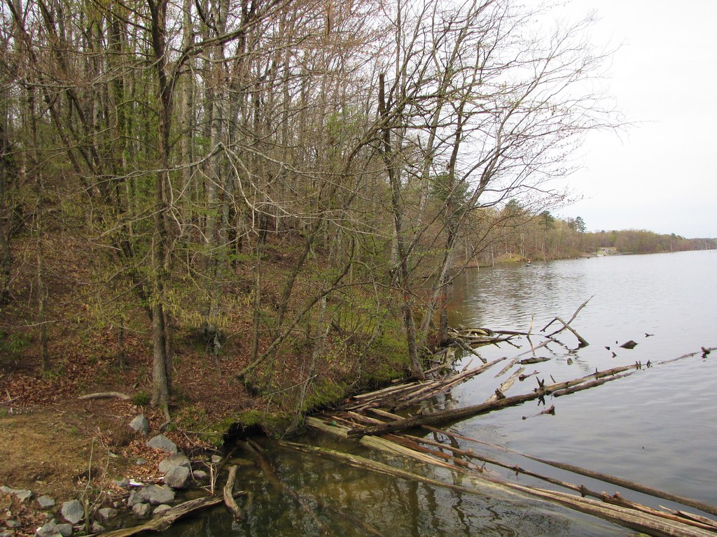
IMG_0494 (2)
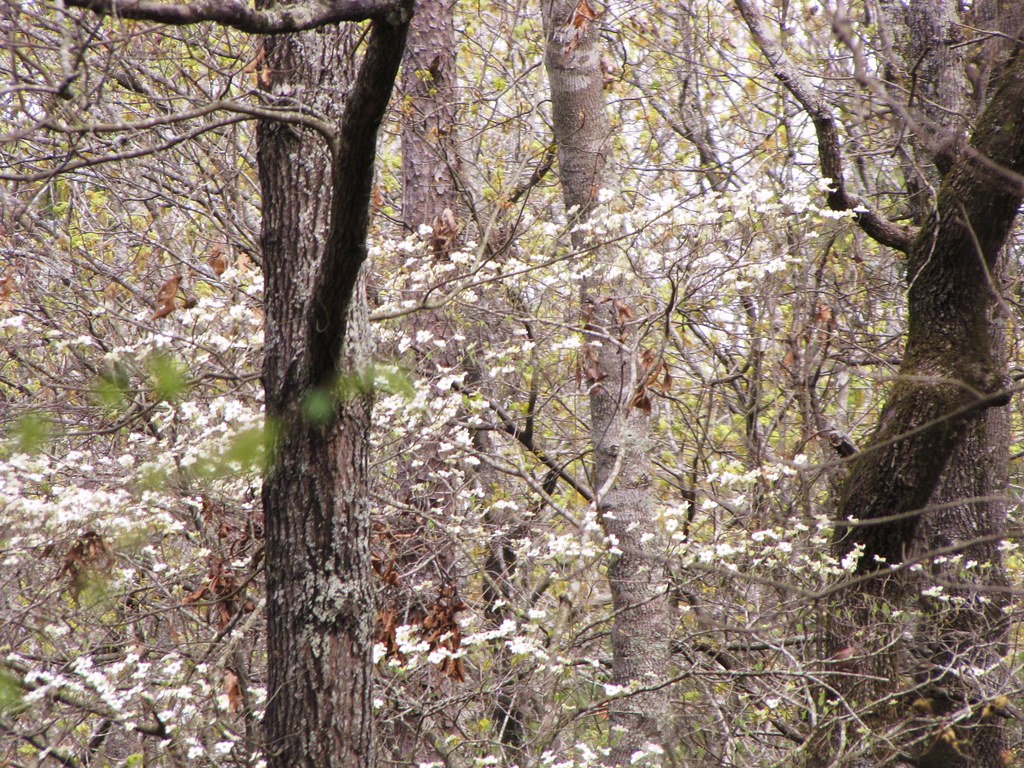
IMG_0489 (2)

IMG_0481 (2)

IMG_0492 (2)
IMG_0495 (2)
IMG_0484 (2)

IMG_0491 (2)
Arkansas Road 1

Arkansas Trip 1

Grady Tornado IV

Eyes on Arkansas Skies

Good fishing out here.
Topographic Map of Star City, AR, USA
Find elevation by address:

Places in Star City, AR, USA:
Places near Star City, AR, USA:
20161 Us-425
30299 Ar-11
20272 Us-425
902 Avalon Rd
Cane Creek Township
3436 Goodfellow Rd
N Hwy, Yorktown, AR, USA
Gateway Rd, Star City, AR, USA
Yorktown
Owen Township
Lone Pine Township
326 Aztec Rd
AR-11, Star City, AR, USA
Bartholomew Township
AR-54, Star City, AR, USA
Spring Township
Mill Creek Township
Lincoln County
Allegiance Rd, Star City, AR, USA
Rr 5, Star City, AR, USA
Recent Searches:
- Elevation of Corso Fratelli Cairoli, 35, Macerata MC, Italy
- Elevation of Tallevast Rd, Sarasota, FL, USA
- Elevation of 4th St E, Sonoma, CA, USA
- Elevation of Black Hollow Rd, Pennsdale, PA, USA
- Elevation of Oakland Ave, Williamsport, PA, USA
- Elevation of Pedrógão Grande, Portugal
- Elevation of Klee Dr, Martinsburg, WV, USA
- Elevation of Via Roma, Pieranica CR, Italy
- Elevation of Tavkvetili Mountain, Georgia
- Elevation of Hartfords Bluff Cir, Mt Pleasant, SC, USA