Elevation of US-63, Rison, AR, USA
Location: United States > Arkansas > Cleveland County > Rowell Township >
Longitude: -92.018227
Latitude: 33.885834
Elevation: 76m / 249feet
Barometric Pressure: 100KPa
Elevation Map:
Satellite Map:
Related Photos:
Arkansas Trip 1
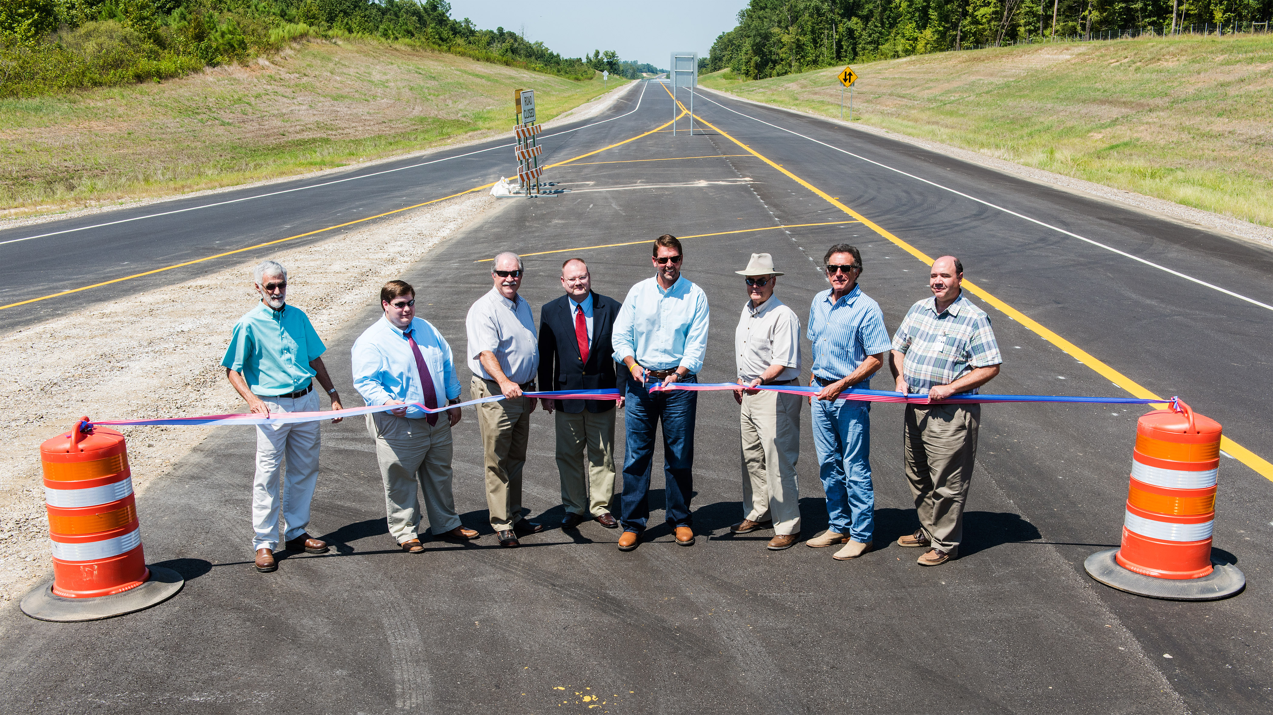
Ribbon cutting, I-530 near Star City

#starcity #bakery #yummy #food #fresh

The things that make my hubby happy. He is so easily amused.

we love you jacob (1989 - 2009)
Topographic Map of US-63, Rison, AR, USA
Find elevation by address:

Places near US-63, Rison, AR, USA:
Rowell Township
US Hwy 63, Rison, AR, USA
Miller Township
James Rd, Star City, AR, USA
Mill Creek Township
AR-54, Star City, AR, USA
Owen Township
Smith Township
Hurricane Township
Mt Elba, Rison, AR, USA
Bowman Township
30299 Ar-11
Spring Township
Co Rd 97, Wilmar, AR, USA
Lee Township
Rodgers Rd, Rison, AR, USA
20272 Us-425
20161 Us-425
Clear Creek Township
Star City
Recent Searches:
- Elevation of 7 Waterfall Way, Tomball, TX, USA
- Elevation of SW 57th Ave, Portland, OR, USA
- Elevation of Crocker Dr, Vacaville, CA, USA
- Elevation of Pu Ngaol Community Meeting Hall, HWHM+3X7, Krong Saen Monourom, Cambodia
- Elevation of Royal Ontario Museum, Queens Park, Toronto, ON M5S 2C6, Canada
- Elevation of Groblershoop, South Africa
- Elevation of Power Generation Enterprises | Industrial Diesel Generators, Oak Ave, Canyon Country, CA, USA
- Elevation of Chesaw Rd, Oroville, WA, USA
- Elevation of N, Mt Pleasant, UT, USA
- Elevation of 6 Rue Jules Ferry, Beausoleil, France