Elevation of Lee Township, AR, USA
Location: United States > Arkansas > Cleveland County >
Longitude: -92.125385
Latitude: 33.7559014
Elevation: 56m / 184feet
Barometric Pressure: 101KPa
Elevation Map:
Satellite Map:
Related Photos:

#Airtime ✈
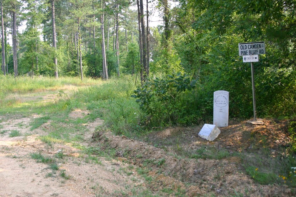
Mark's Mills Battlefield
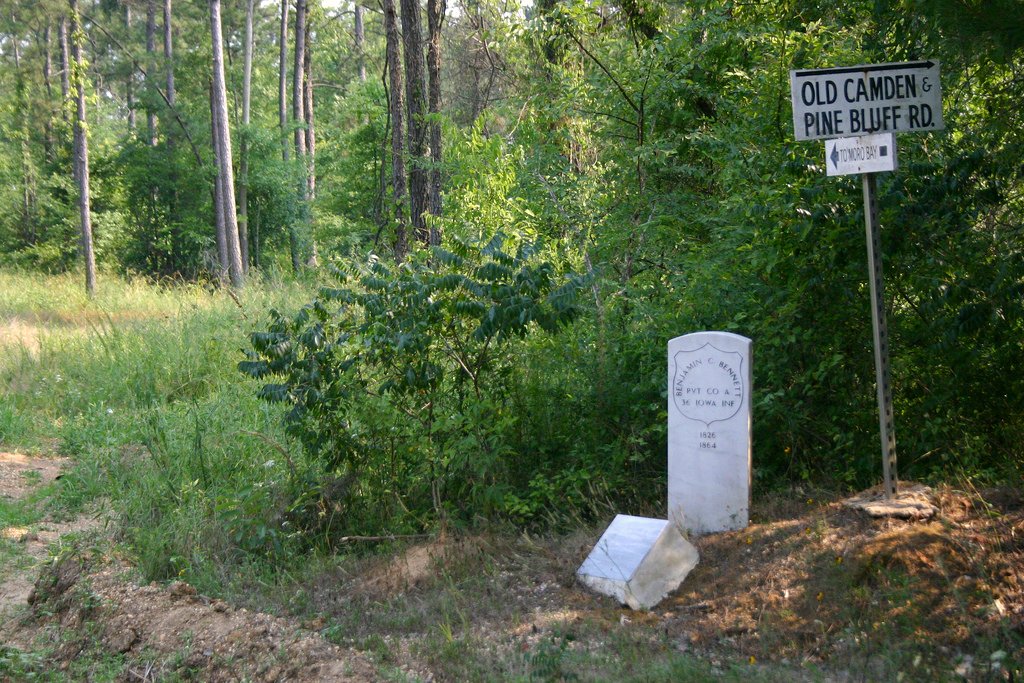
Mark's Mills Battlefield, Arkansas
Topographic Map of Lee Township, AR, USA
Find elevation by address:

Places in Lee Township, AR, USA:
Places near Lee Township, AR, USA:
New Edinburg
AR-, New Edinburg, AR, USA
Hurricane Township
Redland Township
Smith Township
Mt Elba, Rison, AR, USA
Cleveland County
Rowell Township
AR-8, Kingsland, AR, USA
US-63, Rison, AR, USA
50 Joe Huntley Rd, Kingsland, AR, USA
Kingsland
Miller Township
James Rd, Star City, AR, USA
US Hwy 63, Rison, AR, USA
Rison Township
Rison
E Magnolia St, Rison, AR, USA
Mill Creek Township
Co Rd 97, Wilmar, AR, USA
Recent Searches:
- Elevation of 15th Ave SE, St. Petersburg, FL, USA
- Elevation of Beall Road, Beall Rd, Florida, USA
- Elevation of Leguwa, Nepal
- Elevation of County Rd, Enterprise, AL, USA
- Elevation of Kolchuginsky District, Vladimir Oblast, Russia
- Elevation of Shustino, Vladimir Oblast, Russia
- Elevation of Lampiasi St, Sarasota, FL, USA
- Elevation of Elwyn Dr, Roanoke Rapids, NC, USA
- Elevation of Congressional Dr, Stevensville, MD, USA
- Elevation of Bellview Rd, McLean, VA, USA