Elevation of Clifton, NY, USA
Location: United States > New York > St. Lawrence County >
Longitude: -74.887824
Latitude: 44.1974671
Elevation: 522m / 1713feet
Barometric Pressure: 95KPa
Elevation Map:
Satellite Map:
Related Photos:
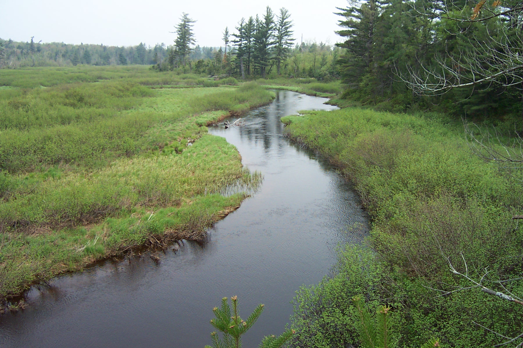
Owegatchie River 2
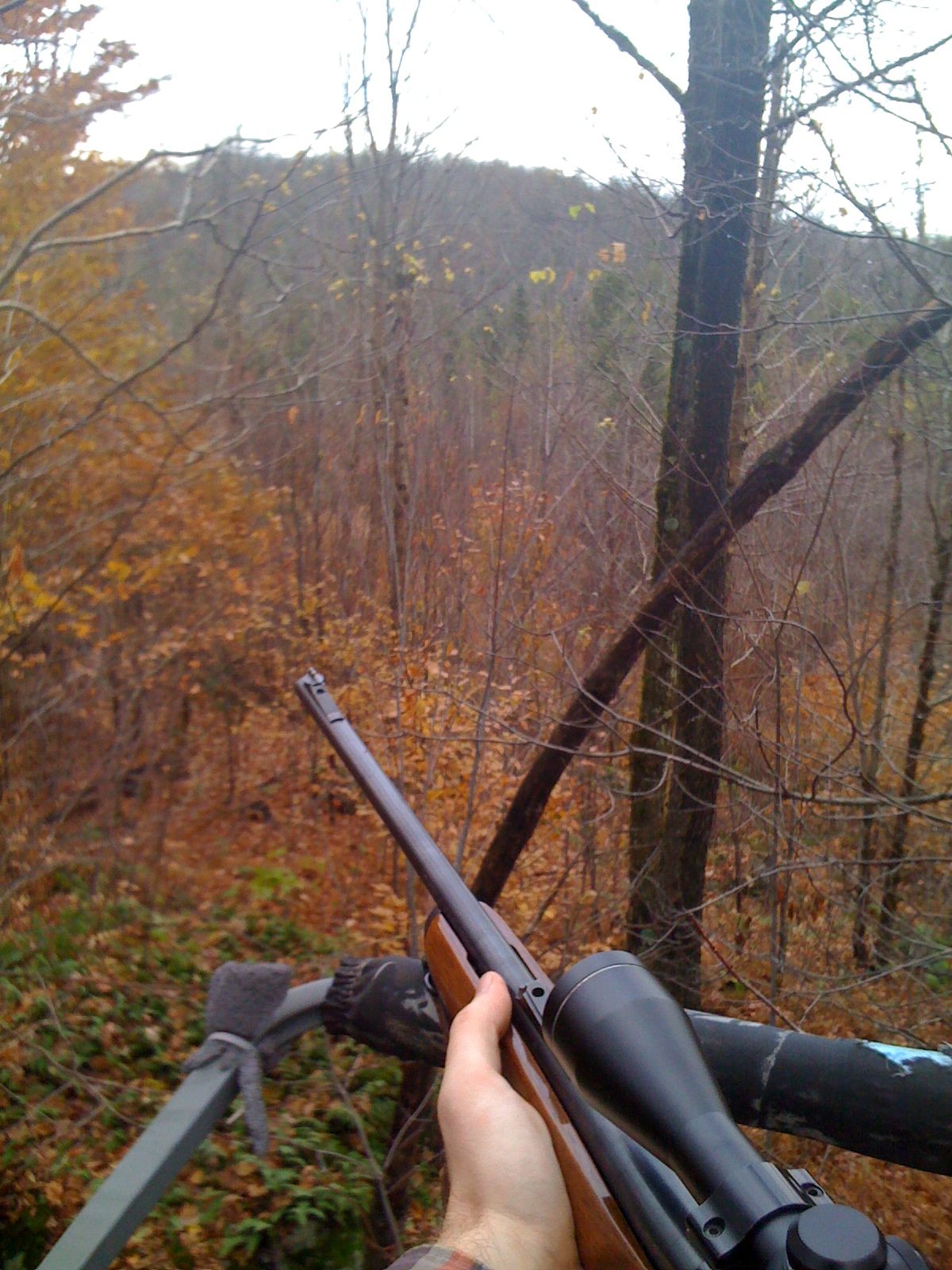
View from tree-stand.
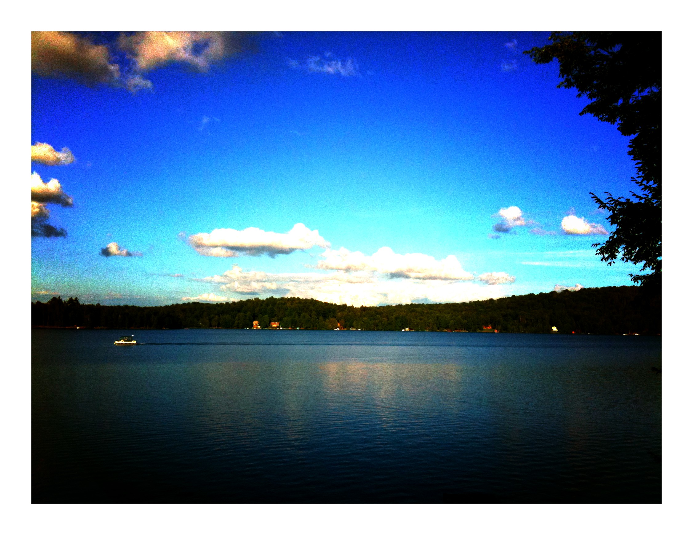
Cranberry Lake
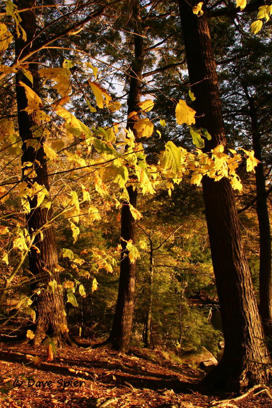
CranberryLake,NY_©DaveSpier_D075324flickr

Copper Rock Falls
20090928-_DSC9688

Cranberry 2007-09-04-35 copy

Dubuar 2009-06-20 - 3
20090928-_DSC9678
20090928-_DSC9685
Through The Trees
20090928-_DSC9668
Beaver Pond
Adk Hike
20090928-_DSC9702
20090928-_DSC9672

Wanakena Vacation
Inlet Trail
Fresh Water

Adirondack Mountains, NY

High Falls

on top of High Falls
Topographic Map of Clifton, NY, USA
Find elevation by address:

Places in Clifton, NY, USA:
Places near Clifton, NY, USA:
500 Columbian Rd
Cranberry Lake
33 2nd St, Wanakena, NY, USA
Newton Falls
35 Catherine St, Star Lake, NY, USA
The Bog Road
Oswegatchie
Oswegatchie Trail Raod, Oswegatchie, NY, USA
Fine
36 Sevey Rd, Childwold, NY, USA
Coffin Mills Rd, Oswegatchie, NY, USA
10 Circle Rd, Long Lake, NY, USA
Panther Mountain
Childwold
St. Lawrence County
Fine
Carry Falls Reservoir
Stark Cemetery
50 Mt Arab Rd, Tupper Lake, NY, USA
Railroad St, Lowville, NY, USA
Recent Searches:
- Elevation of Zu den Ihlowbergen, Althüttendorf, Germany
- Elevation of Badaber, Peshawar, Khyber Pakhtunkhwa, Pakistan
- Elevation of SE Heron Loop, Lincoln City, OR, USA
- Elevation of Slanický ostrov, 01 Námestovo, Slovakia
- Elevation of Spaceport America, Co Rd A, Truth or Consequences, NM, USA
- Elevation of Warwick, RI, USA
- Elevation of Fern Rd, Whitmore, CA, USA
- Elevation of 62 Abbey St, Marshfield, MA, USA
- Elevation of Fernwood, Bradenton, FL, USA
- Elevation of Felindre, Swansea SA5 7LU, UK