Elevation of Oswegatchie Trail Raod, Oswegatchie, NY, USA
Location: United States > New York > St. Lawrence County >
Longitude: -75.07029
Latitude: 44.183556
Elevation: 409m / 1342feet
Barometric Pressure: 97KPa
Elevation Map:
Satellite Map:
Related Photos:

View from tree-stand.
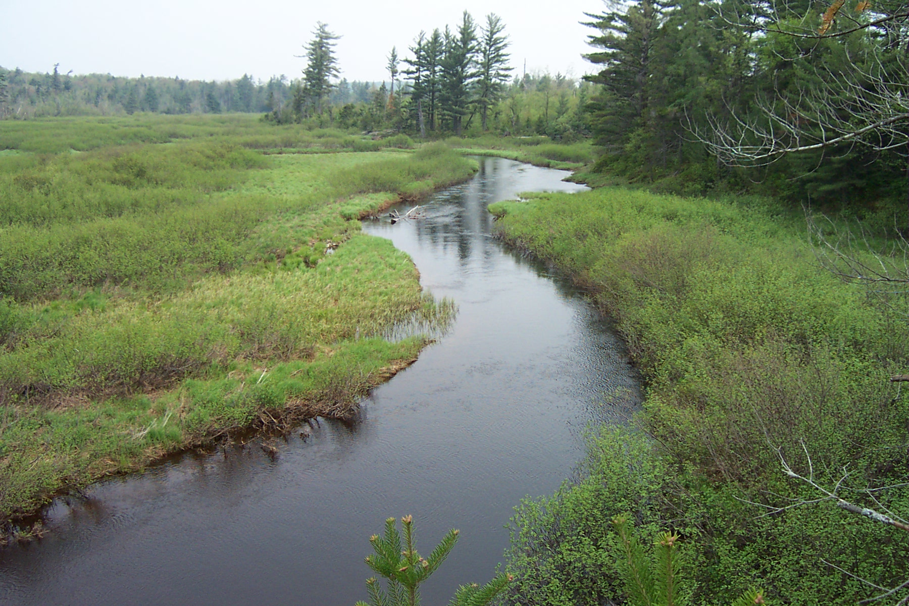
Owegatchie River 2

Wanakena Vacation
Greenwood State Park
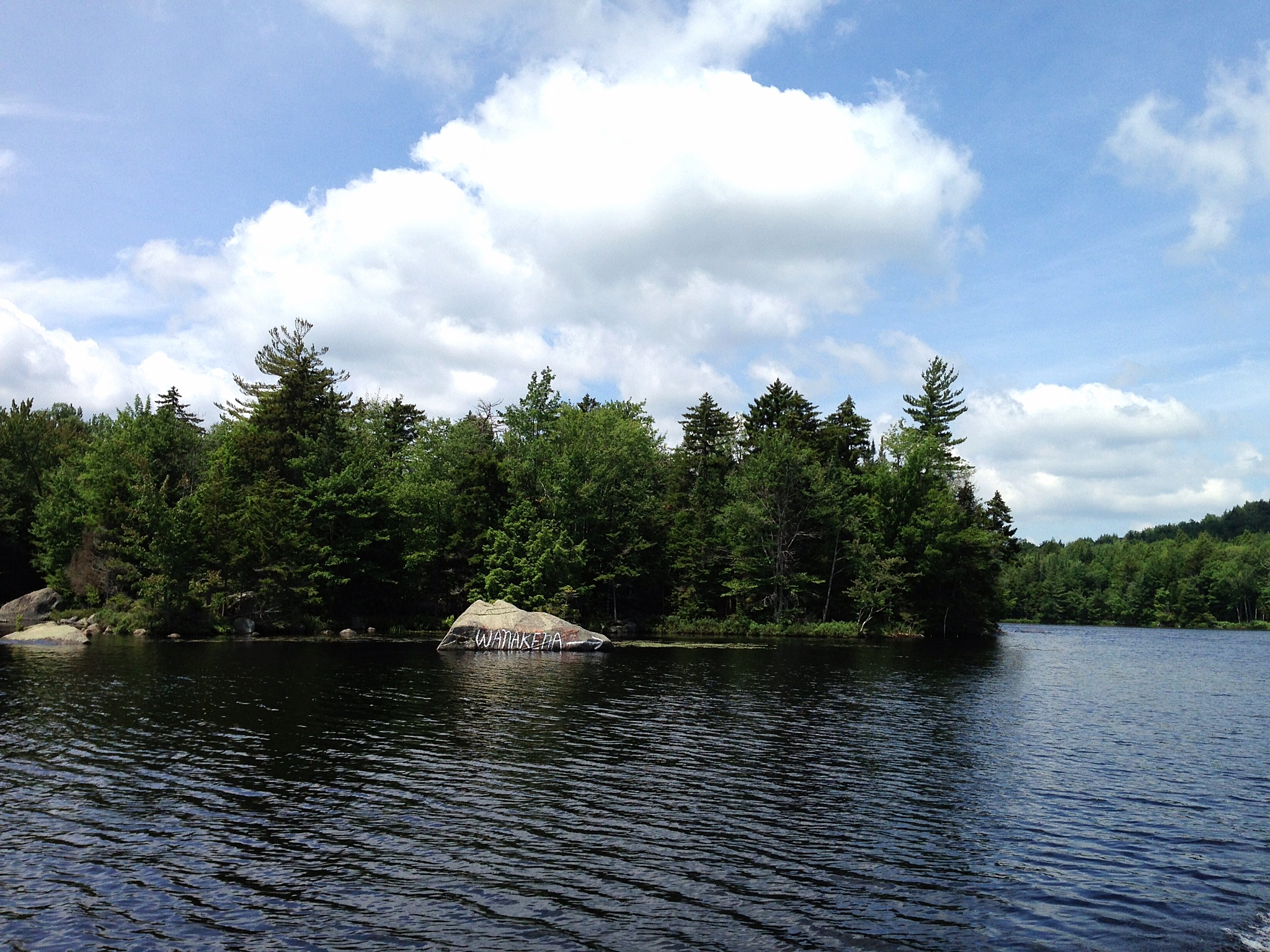
Wanakena Vacation, the rock in the river that tells you where Wanakena is.

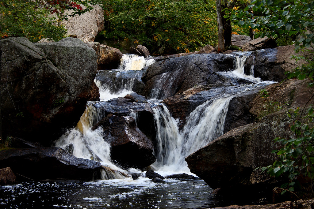
20090928-_DSC9688

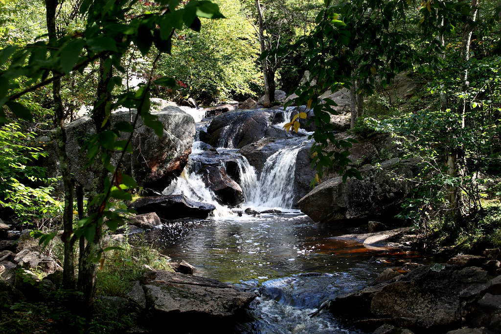
Copper Rock Falls
Greenwood State Park

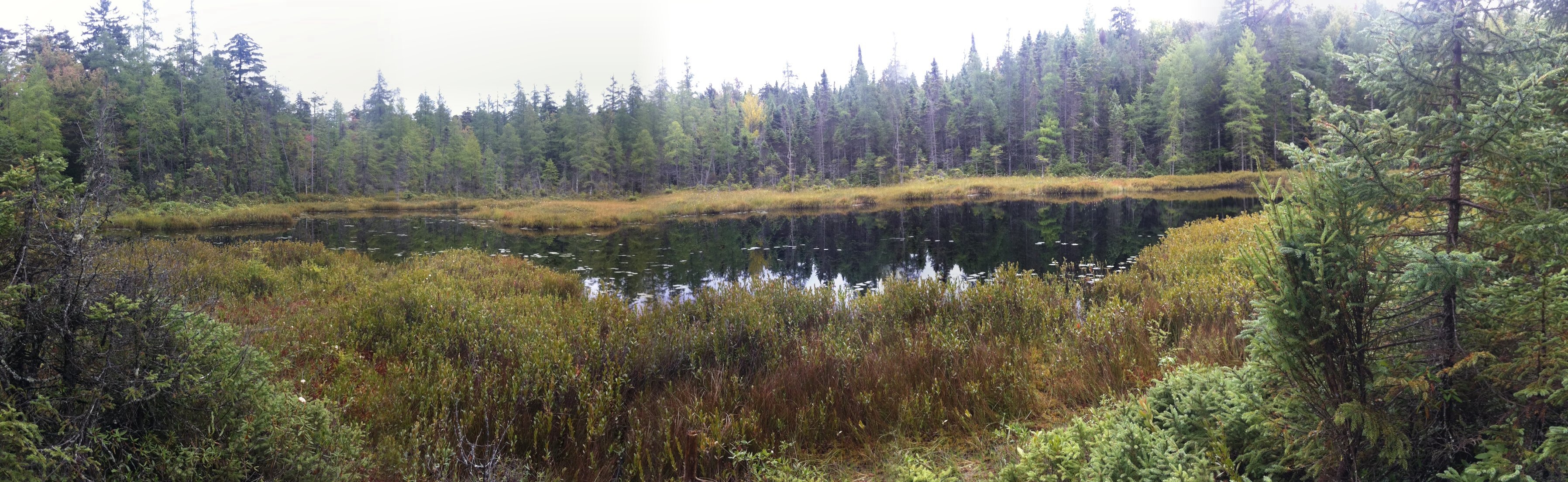
Cranberry 2007-09-04-35 copy

Is it Alive?
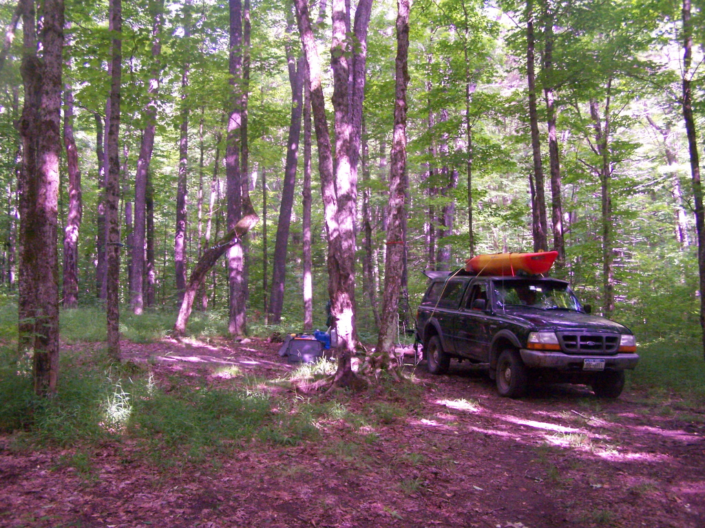
Driveway to Campsite.

Dubuar 2009-06-20 - 3

20090928-_DSC9678
20090928-_DSC9685

20090928-_DSC9668
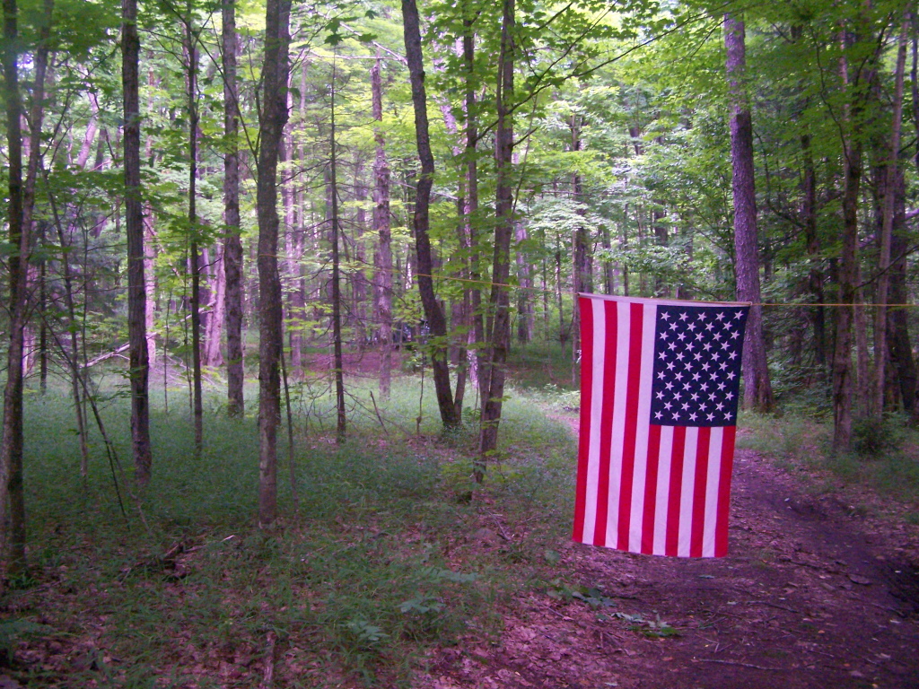
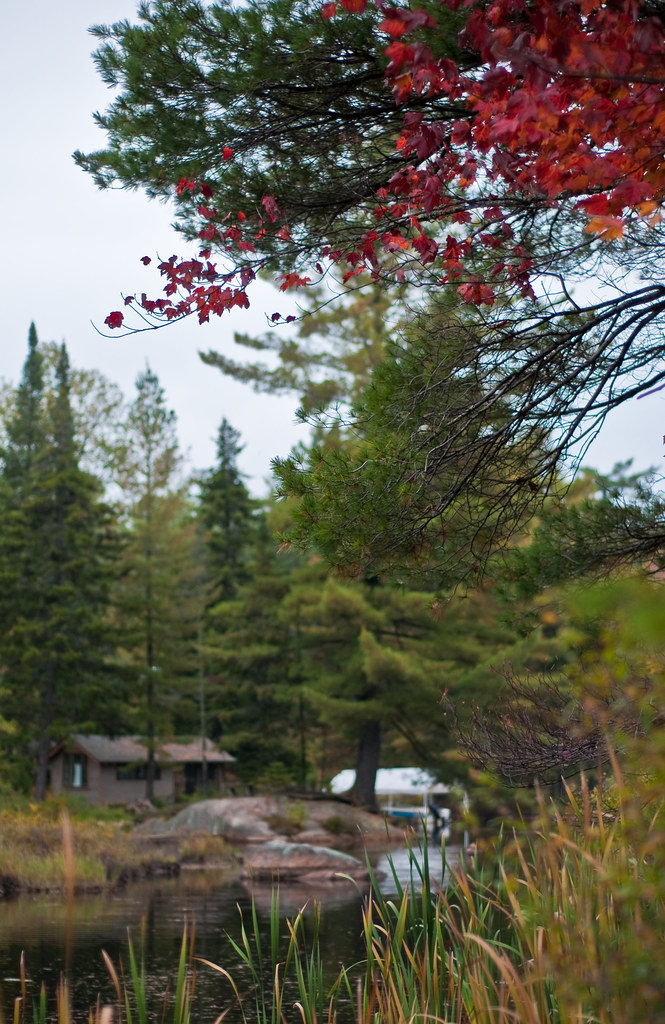
Through The Trees
Heading Towards Rapids on Mud River

Heading Towards Rapids on Mud River
Campsite 3 on Streeter Lake Road
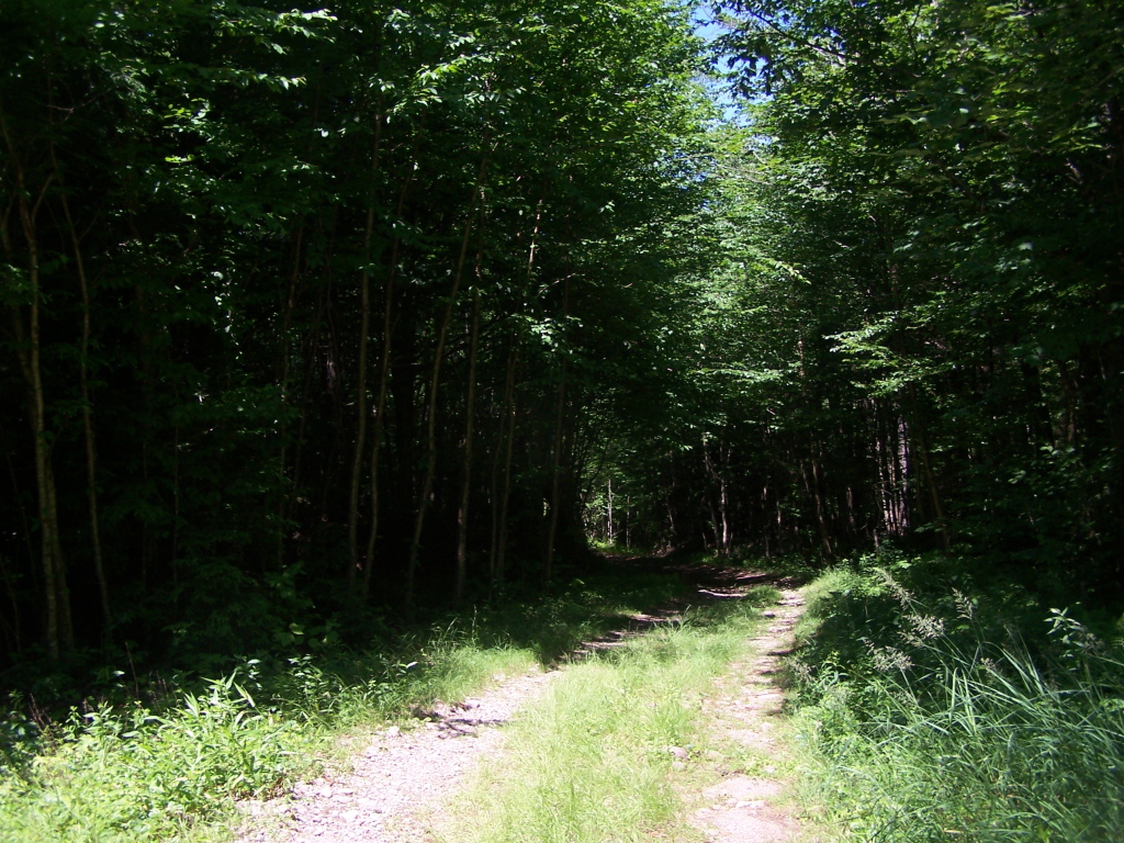
Along the Narrow Truck Trail
20090928-_DSC9684
Adk Hike
Topographic Map of Oswegatchie Trail Raod, Oswegatchie, NY, USA
Find elevation by address:

Places near Oswegatchie Trail Raod, Oswegatchie, NY, USA:
Oswegatchie
Coffin Mills Rd, Oswegatchie, NY, USA
Fine
35 Catherine St, Star Lake, NY, USA
Panther Mountain
Newton Falls
Fine
575 Ny-58
33 2nd St, Wanakena, NY, USA
4 Shawville Rd, Edwards, NY, USA
11 River Rd, Edwards, NY, USA
Clifton
Edwards
282 Dana Hill Rd
Pitcairn
Pitcairn
Edwards
500 Columbian Rd
Cranberry Lake
Russell
Recent Searches:
- Elevation of Corso Fratelli Cairoli, 35, Macerata MC, Italy
- Elevation of Tallevast Rd, Sarasota, FL, USA
- Elevation of 4th St E, Sonoma, CA, USA
- Elevation of Black Hollow Rd, Pennsdale, PA, USA
- Elevation of Oakland Ave, Williamsport, PA, USA
- Elevation of Pedrógão Grande, Portugal
- Elevation of Klee Dr, Martinsburg, WV, USA
- Elevation of Via Roma, Pieranica CR, Italy
- Elevation of Tavkvetili Mountain, Georgia
- Elevation of Hartfords Bluff Cir, Mt Pleasant, SC, USA