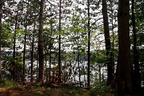
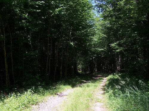
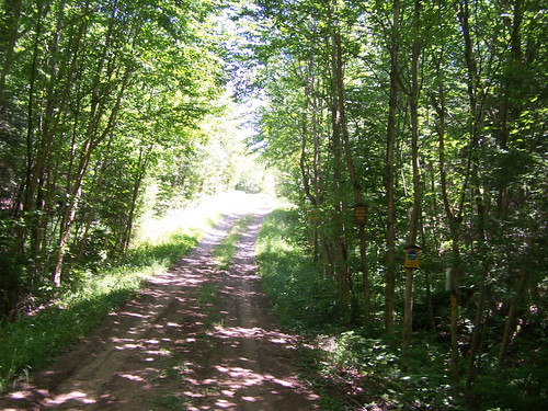
Elevation of Coffin Mills Rd, Oswegatchie, NY, USA
Location: United States > New York > St. Lawrence County > Fine > Oswegatchie >
Longitude: -75.086117
Latitude: 44.172151
Elevation: 419m / 1375feet
Barometric Pressure: 96KPa
Related Photos:
Topographic Map of Coffin Mills Rd, Oswegatchie, NY, USA
Find elevation by address:

Places near Coffin Mills Rd, Oswegatchie, NY, USA:
Oswegatchie
Oswegatchie Trail Raod, Oswegatchie, NY, USA
Fine
Panther Mountain
35 Catherine St, Star Lake, NY, USA
Fine
Newton Falls
575 Ny-58
4 Shawville Rd, Edwards, NY, USA
11 River Rd, Edwards, NY, USA
33 2nd St, Wanakena, NY, USA
Edwards
Pitcairn
Clifton
Pitcairn
282 Dana Hill Rd
Edwards
Harrisville
Harris Courts Inc
494 Stone Rd
Recent Searches:
- Elevation of Corso Fratelli Cairoli, 35, Macerata MC, Italy
- Elevation of Tallevast Rd, Sarasota, FL, USA
- Elevation of 4th St E, Sonoma, CA, USA
- Elevation of Black Hollow Rd, Pennsdale, PA, USA
- Elevation of Oakland Ave, Williamsport, PA, USA
- Elevation of Pedrógão Grande, Portugal
- Elevation of Klee Dr, Martinsburg, WV, USA
- Elevation of Via Roma, Pieranica CR, Italy
- Elevation of Tavkvetili Mountain, Georgia
- Elevation of Hartfords Bluff Cir, Mt Pleasant, SC, USA
