Elevation of Harrisville, NY, USA
Location: United States > New York > Lewis County > Diana >
Longitude: -75.321034
Latitude: 44.1520084
Elevation: 246m / 807feet
Barometric Pressure: 98KPa
Elevation Map:
Satellite Map:
Related Photos:
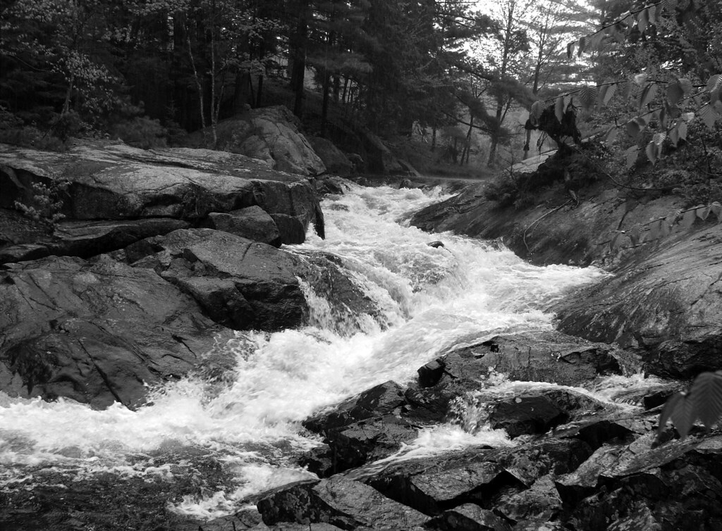
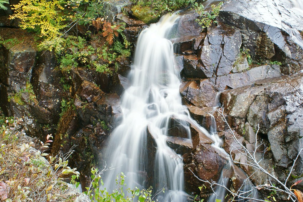
"The" Jerden Falls In Pouring Rain

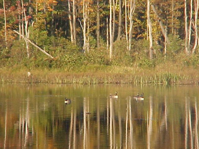
Lake Bonaparte Sunset II
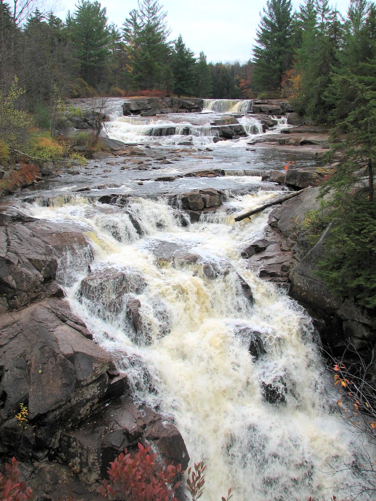
Adirondack waterfall
Other times it provides a haven for wildlife.
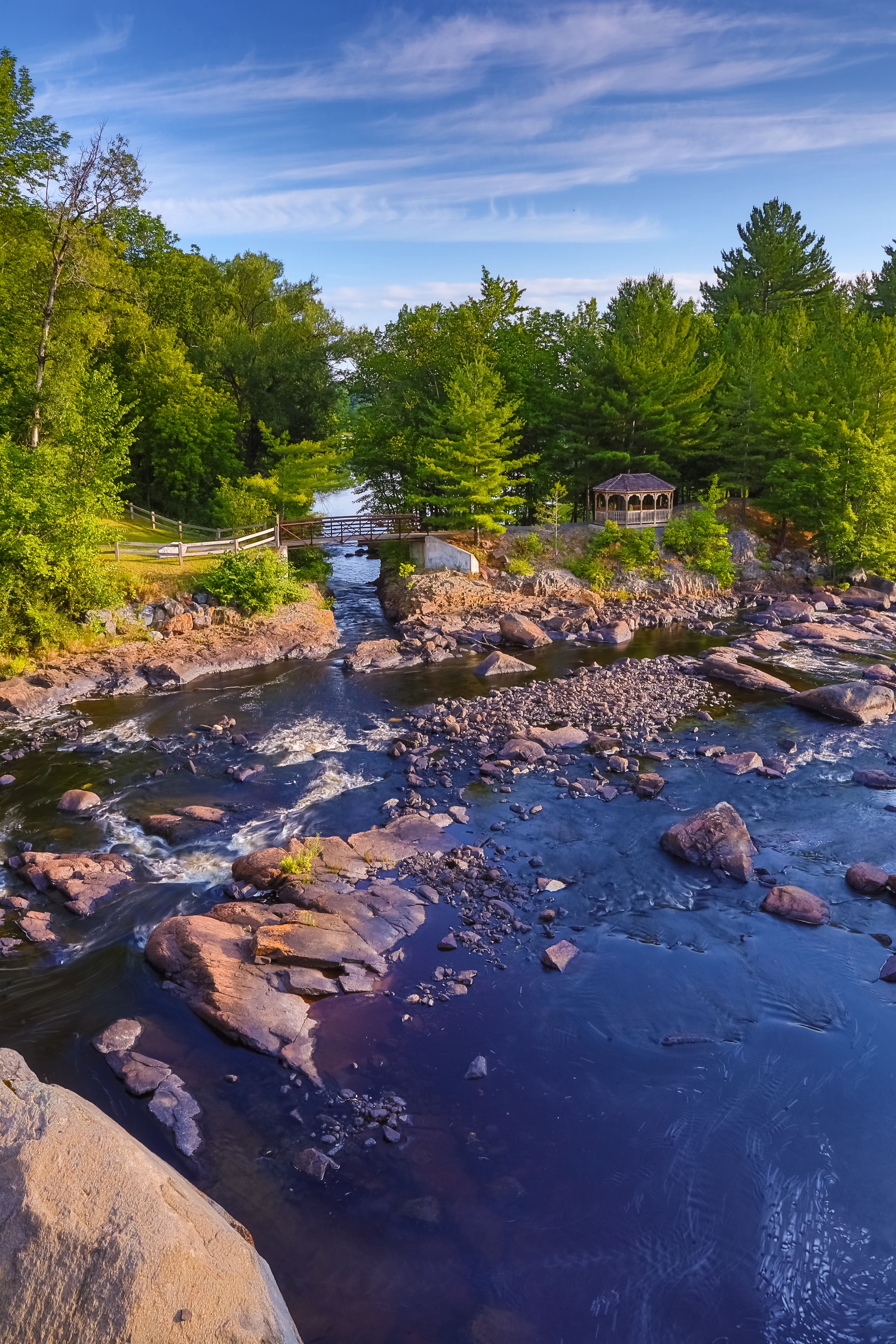
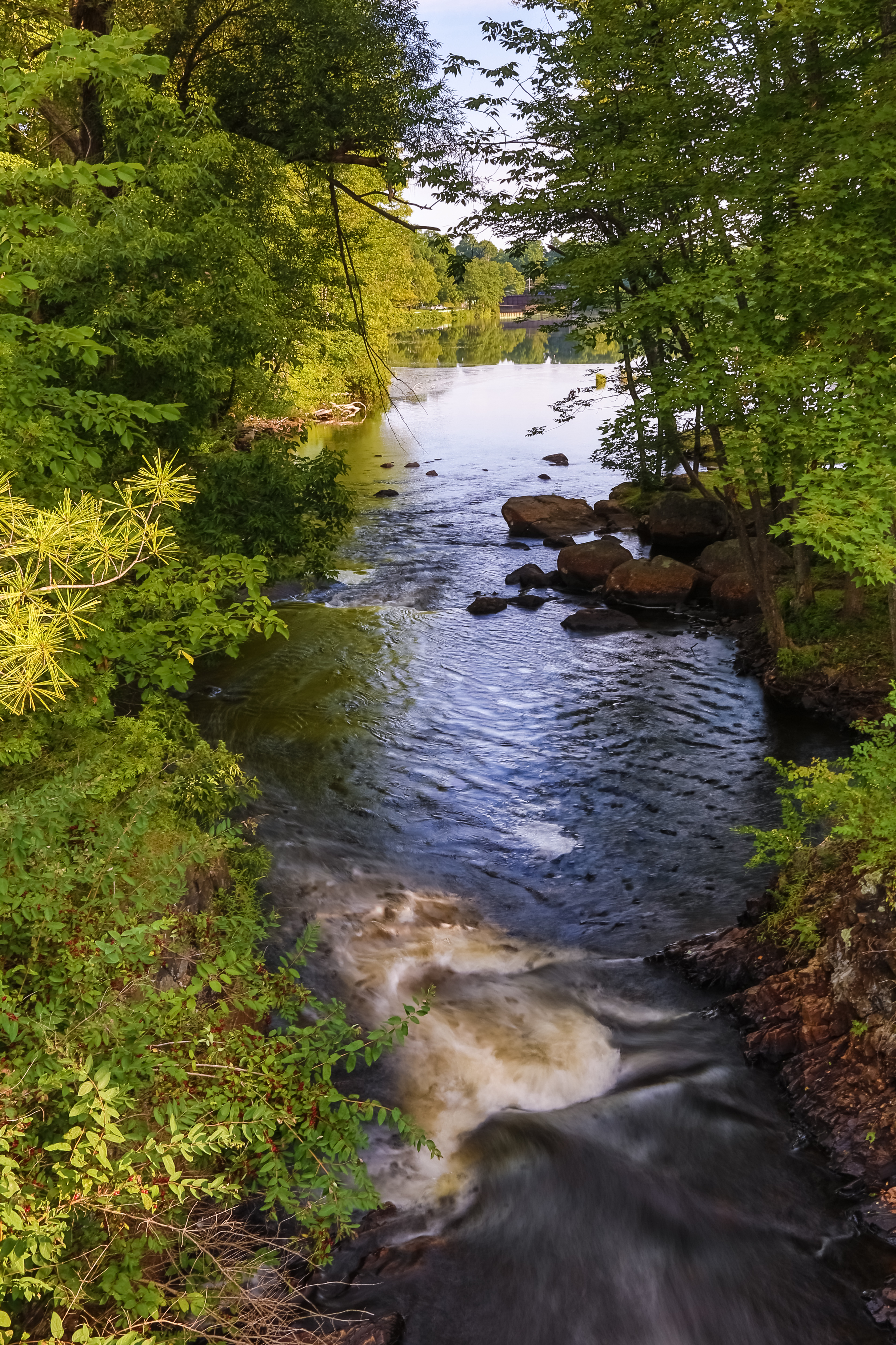
Harrisville-20120719-08-HDR

Jerden Falls Road

LakeBonaparte-20120719-02.jpg
Seemingly racing time

On one side she courses wildly,
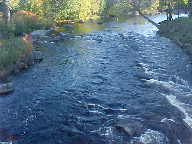
Harrisville-20120719-14.jpg
Harrisville-20120719-13-HDR.jpg
Harrisville-20120719-07-HDR

despite the water's determination
Harrisville-20120719-10-HDR.jpg
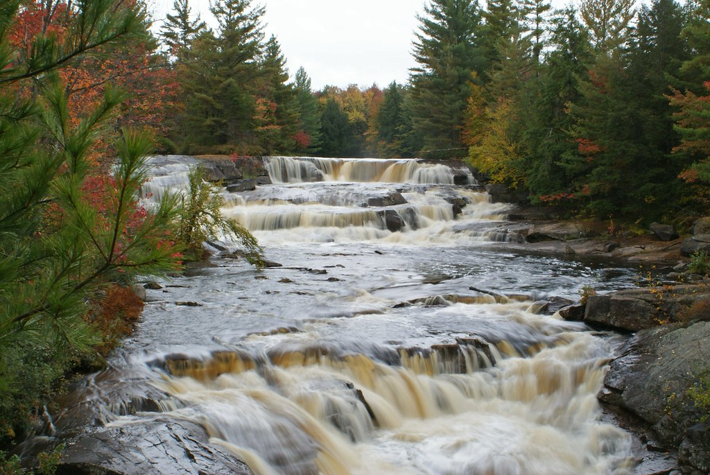
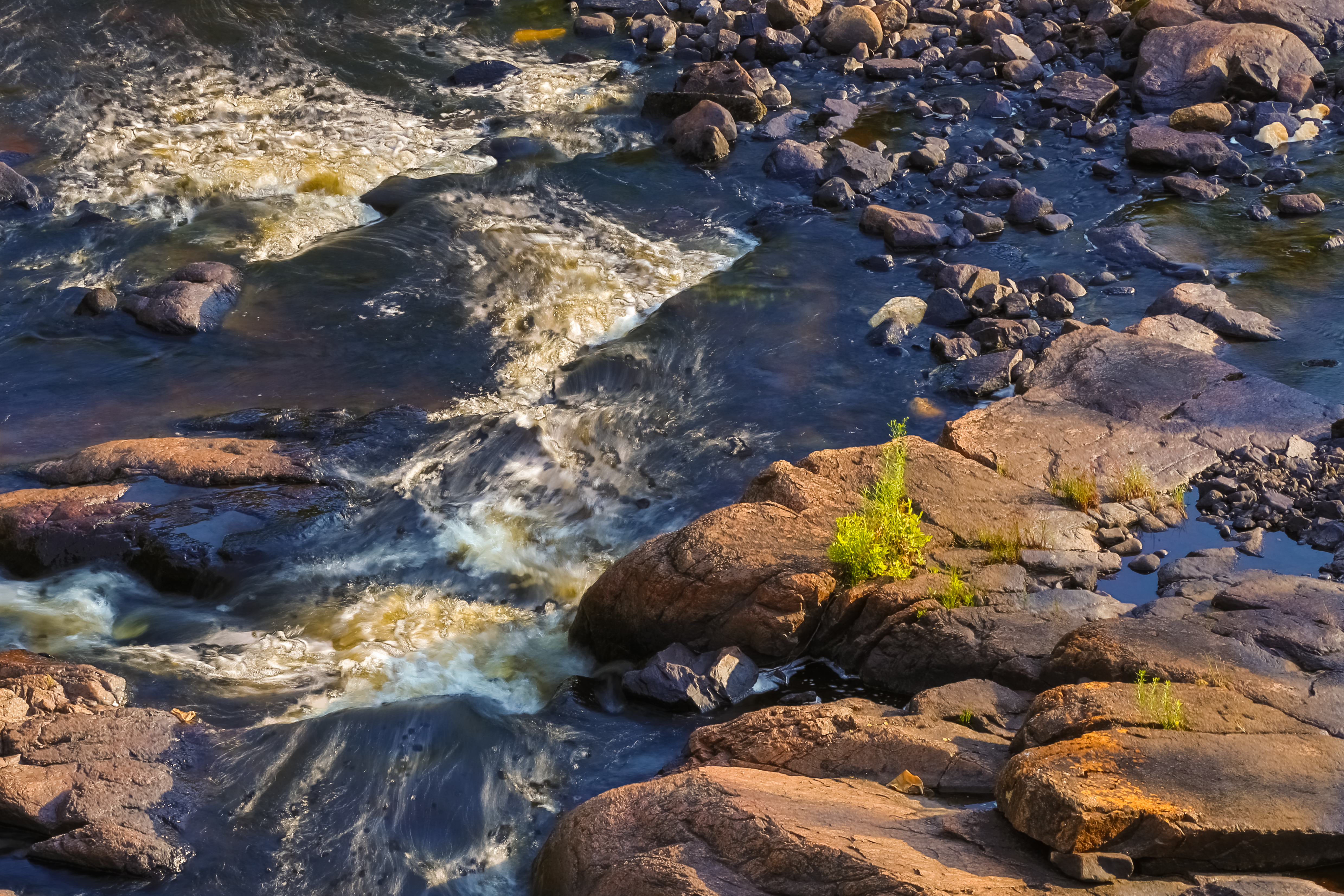
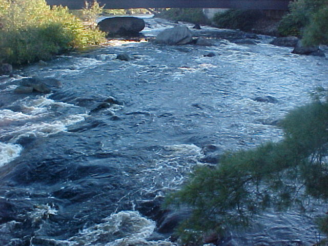
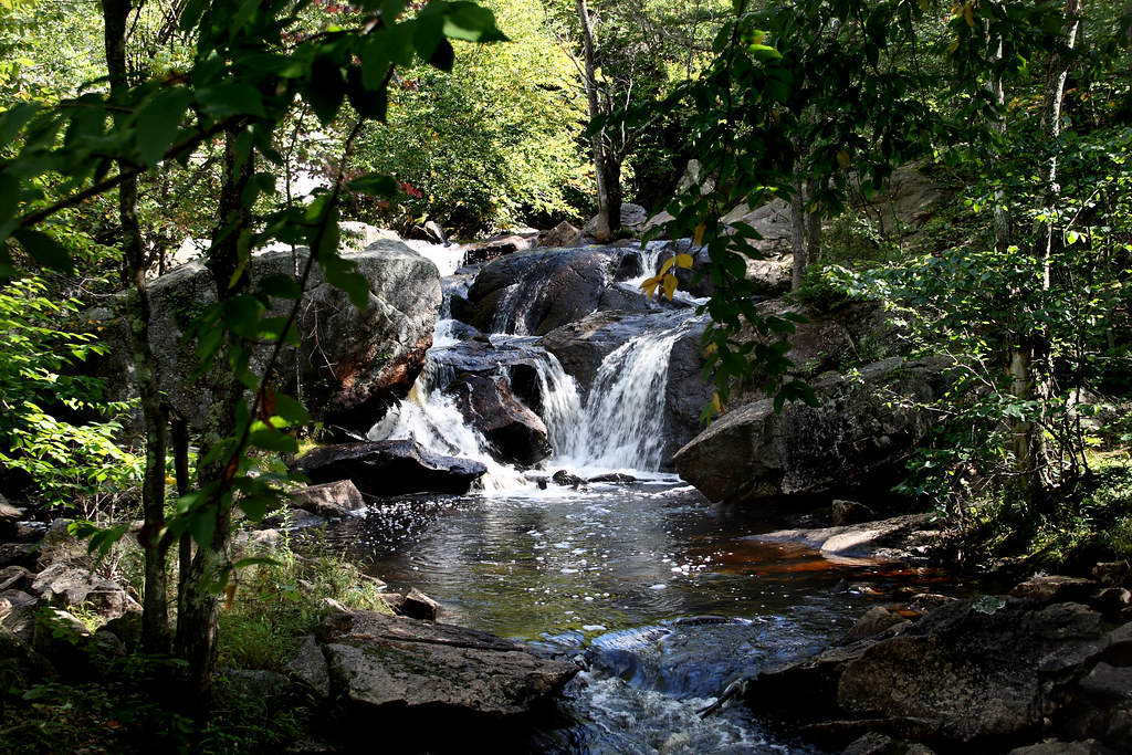
Oswagotchie river falls
As she passes
Oswagotchie river, side falls

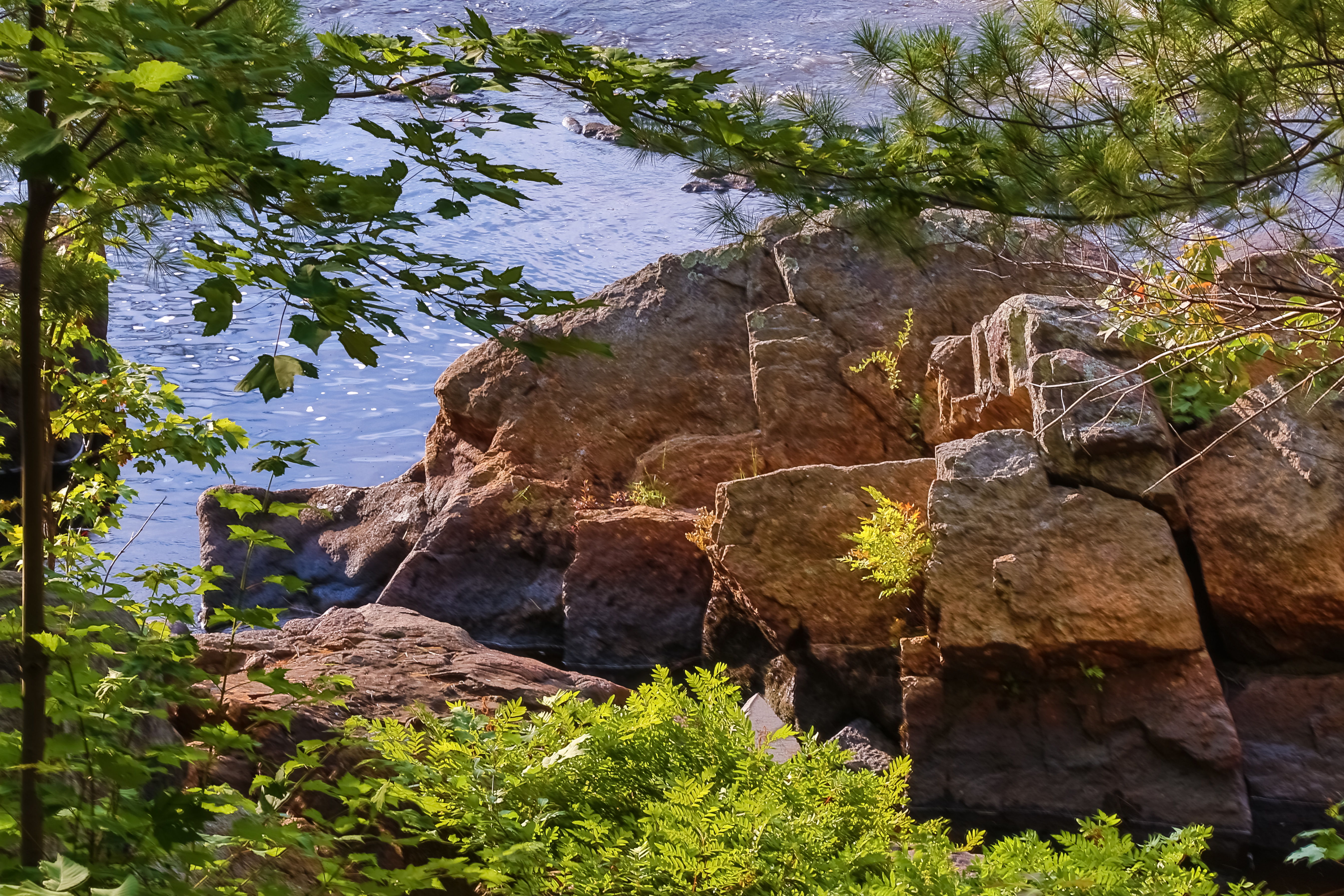
of the Adirondacks.
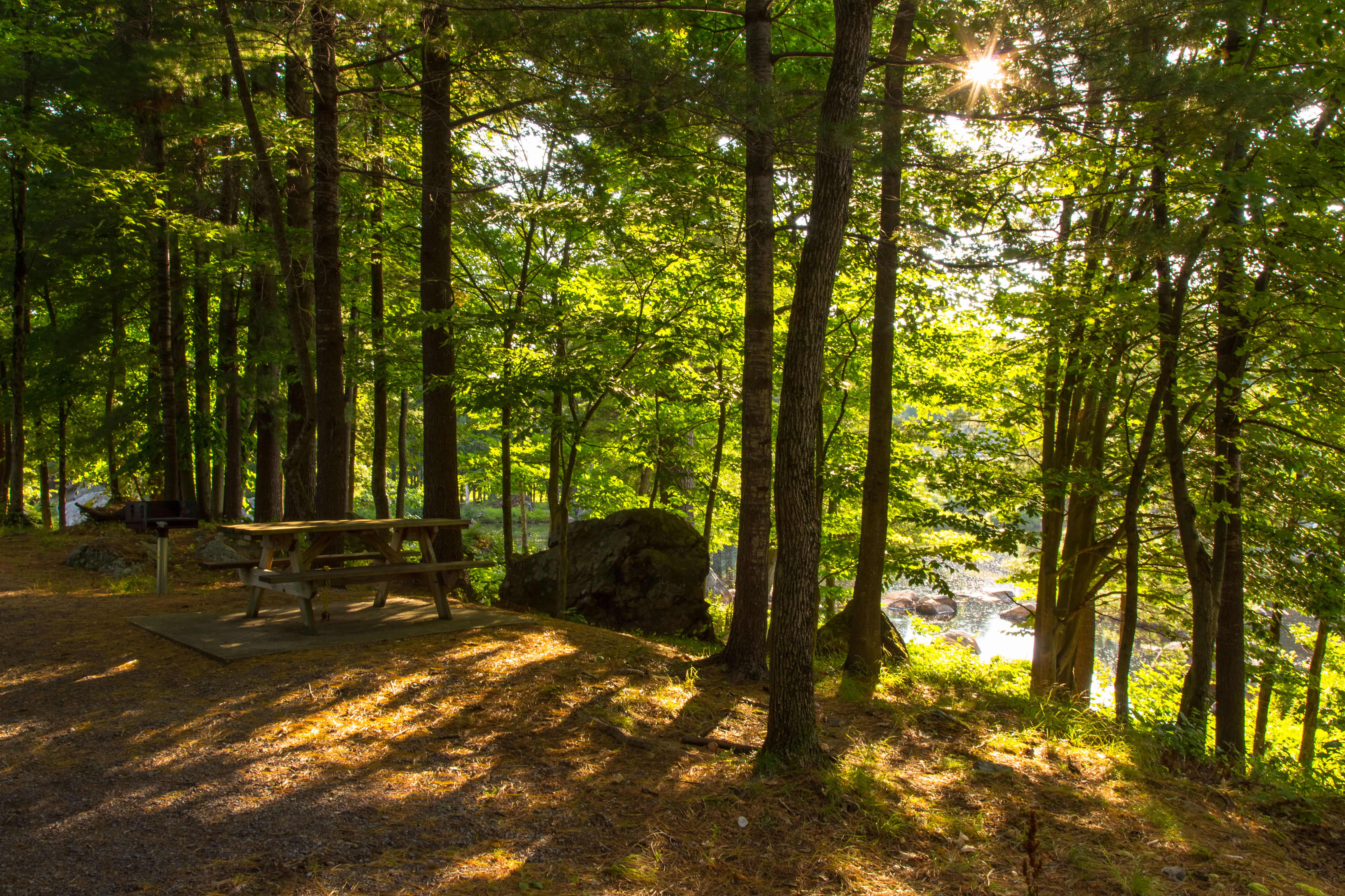
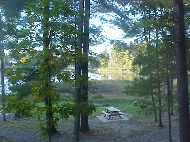
Greenwood State Park
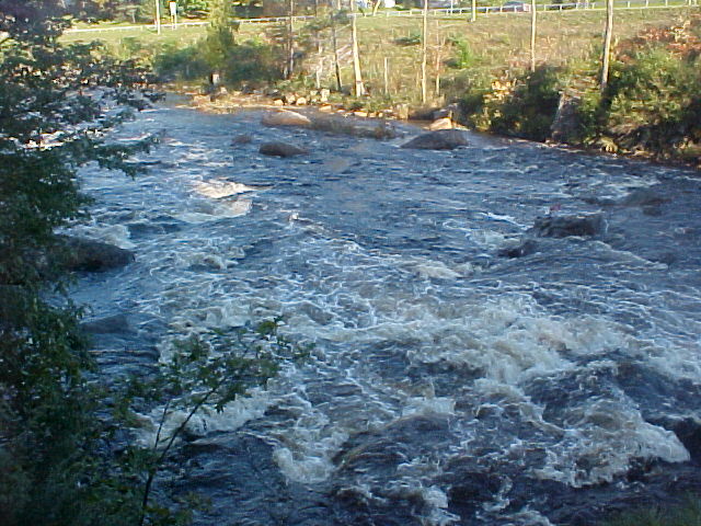
in turbulent wonder
and pass the time,
Topographic Map of Harrisville, NY, USA
Find elevation by address:

Places in Harrisville, NY, USA:
Places near Harrisville, NY, USA:
Harris Courts Inc
494 Stone Rd
Pitcairn
Birch Iss, Harrisville, NY, USA
Pitcairn
Lake Bonaparte
Diana
Round Iss, Harrisville, NY, USA
Co Rd 24, Gouverneur, NY, USA
Dutton Rd, Croghan, NY, USA
Sylvia Lake
Fowler
11 River Rd, Edwards, NY, USA
Edwards
28 Ames Rd, Edwards, NY, USA
312 Talcville Rd
4 Shawville Rd, Edwards, NY, USA
5682 Old State Rd
575 Ny-58
Edwards
Recent Searches:
- Elevation of Corso Fratelli Cairoli, 35, Macerata MC, Italy
- Elevation of Tallevast Rd, Sarasota, FL, USA
- Elevation of 4th St E, Sonoma, CA, USA
- Elevation of Black Hollow Rd, Pennsdale, PA, USA
- Elevation of Oakland Ave, Williamsport, PA, USA
- Elevation of Pedrógão Grande, Portugal
- Elevation of Klee Dr, Martinsburg, WV, USA
- Elevation of Via Roma, Pieranica CR, Italy
- Elevation of Tavkvetili Mountain, Georgia
- Elevation of Hartfords Bluff Cir, Mt Pleasant, SC, USA