Elevation of Fine, NY, USA
Location: United States > New York > St. Lawrence County >
Longitude: -75.066206
Latitude: 44.1465472
Elevation: 441m / 1447feet
Barometric Pressure: 96KPa
Elevation Map:
Satellite Map:
Related Photos:

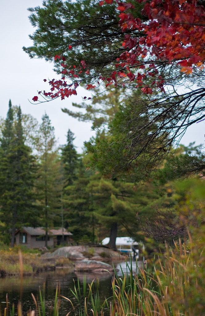
View from tree-stand.
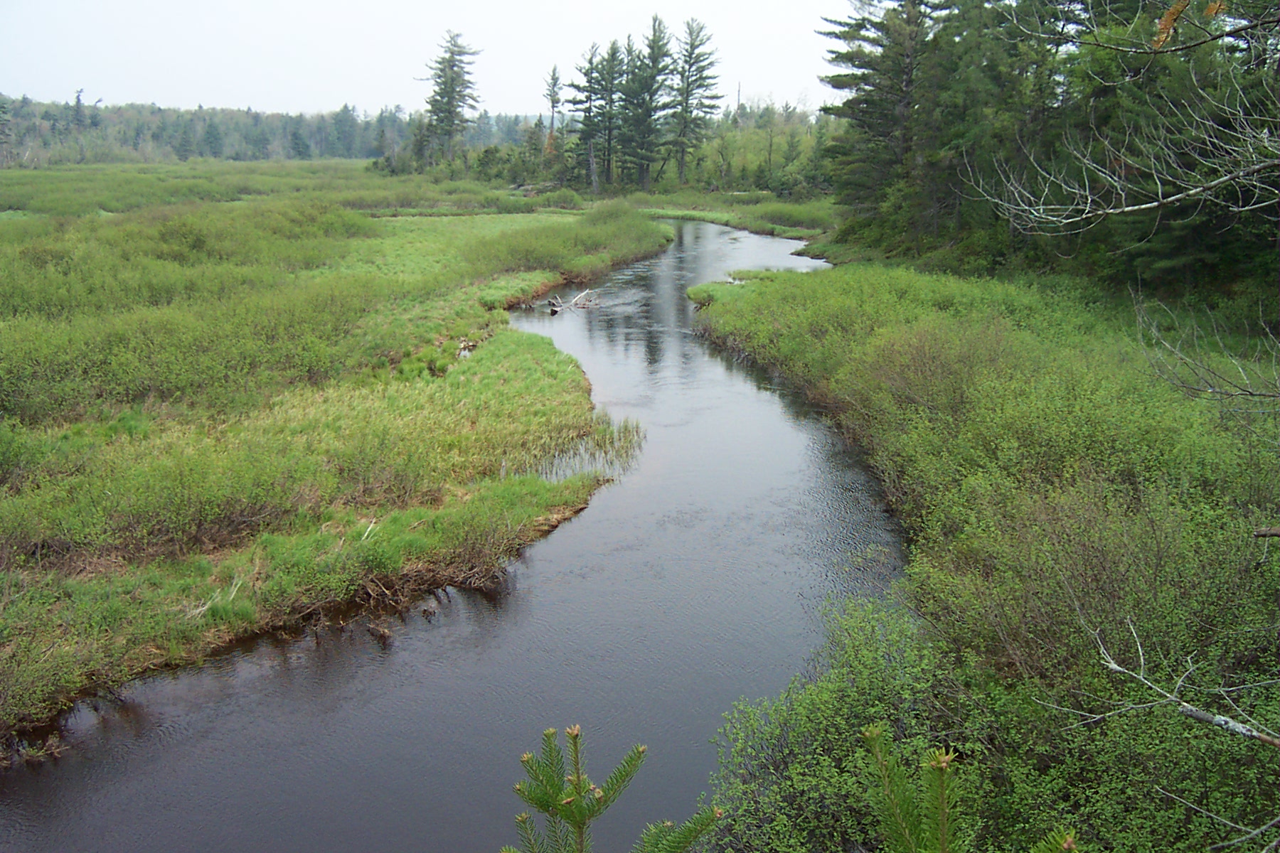
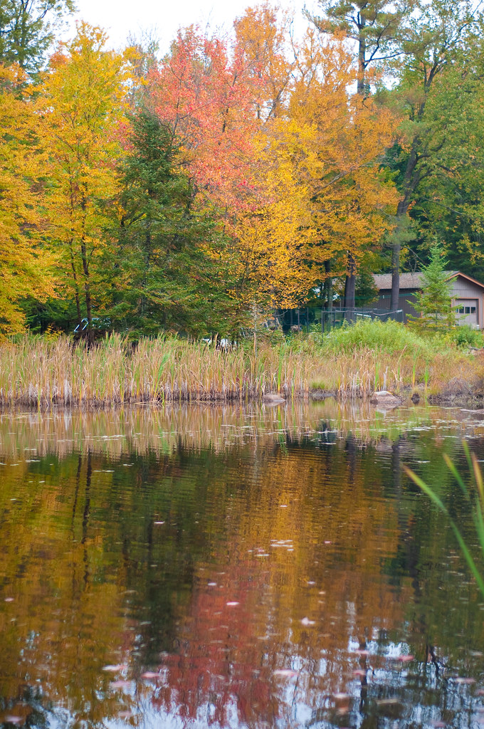
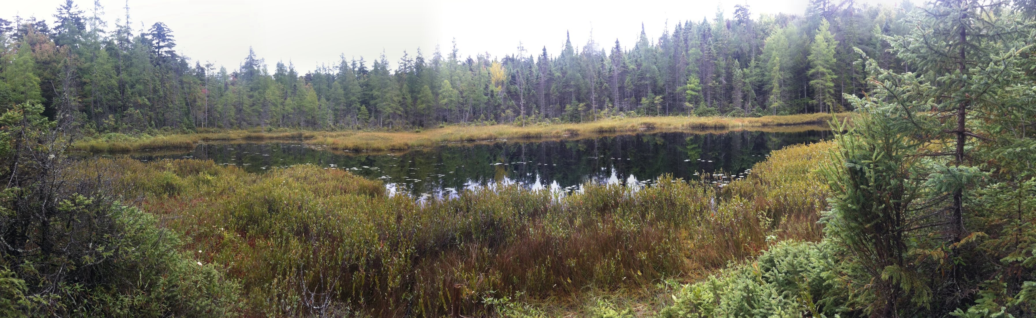
Owegatchie River 2
20090928-_DSC9688
Greenwood State Park
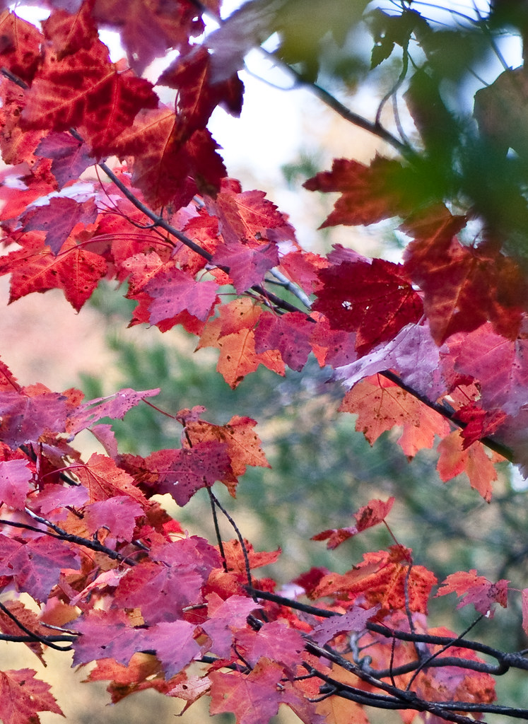
Is it Alive?
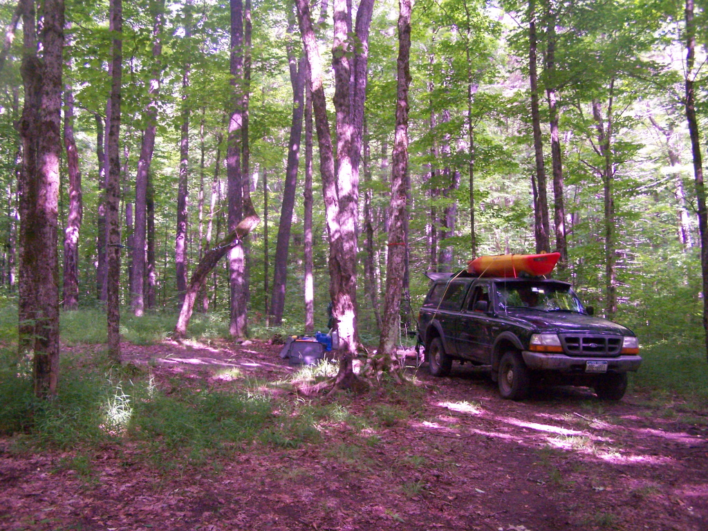
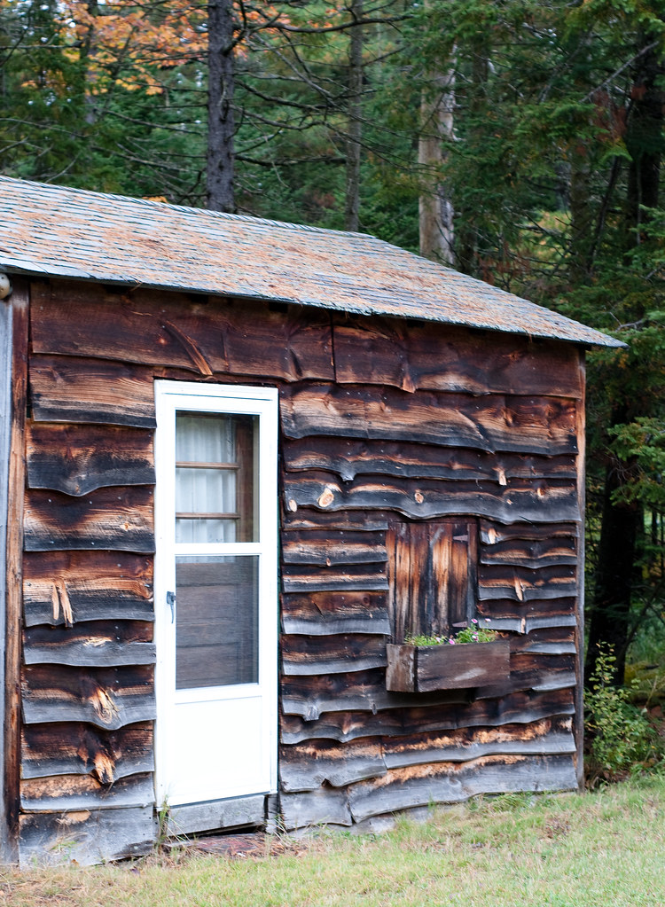
Driveway to Campsite.

Dubuar 2009-06-20 - 3
20090928-_DSC9678
20090928-_DSC9685
20090928-_DSC9668
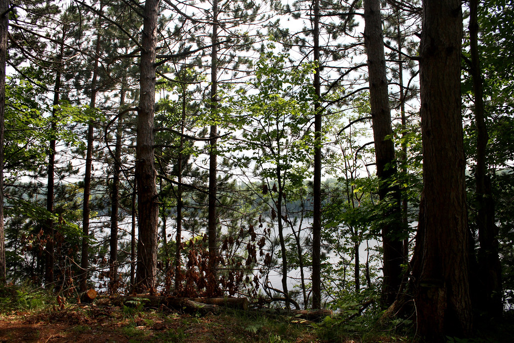
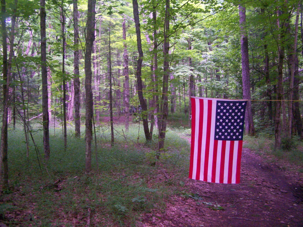
Through The Trees

Wanakena Vacation
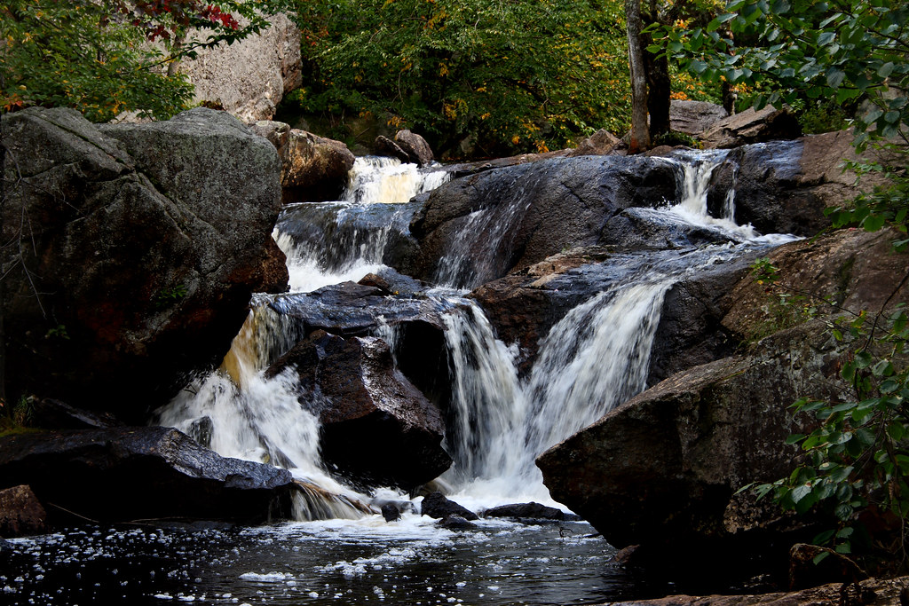
Heading Towards Rapids on Mud River

Heading Towards Rapids on Mud River
Campsite 3 on Streeter Lake Road
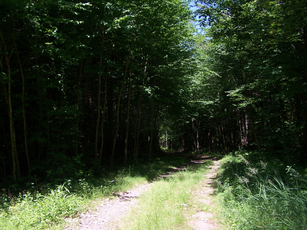
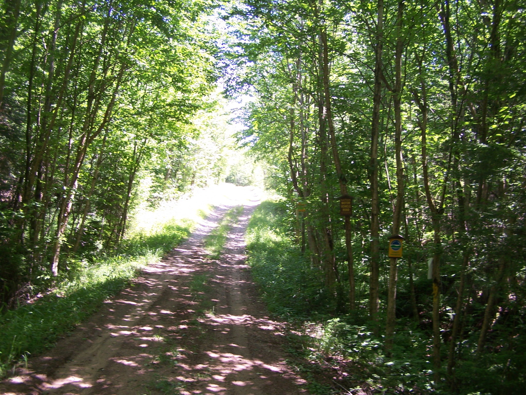
Along the Narrow Truck Trail
20090928-_DSC9684
Adk Hike
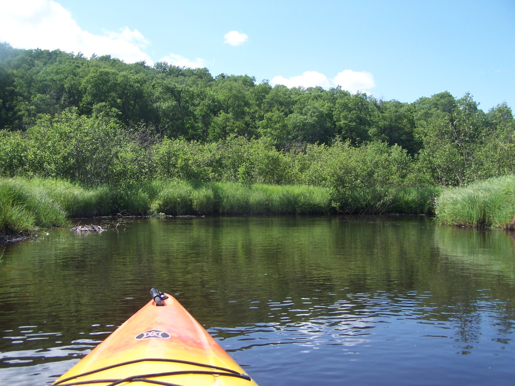
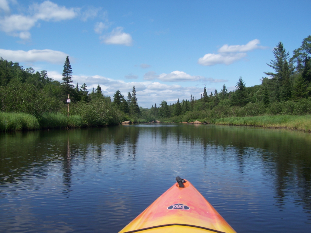
Paddling Along Mud River
Entering State Land
20090928-_DSC9702
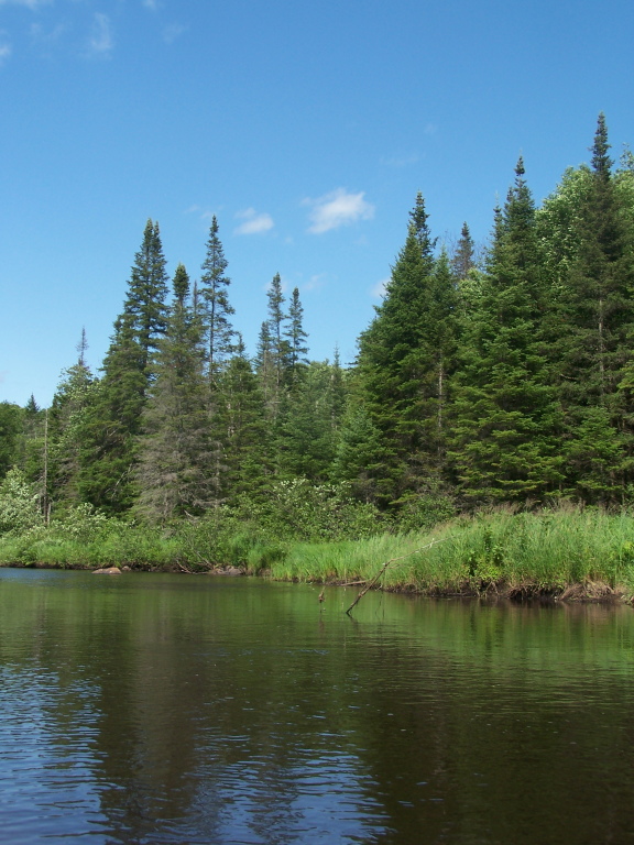
Trees Along Mud River
Topographic Map of Fine, NY, USA
Find elevation by address:

Places in Fine, NY, USA:
Places near Fine, NY, USA:
Coffin Mills Rd, Oswegatchie, NY, USA
Oswegatchie
35 Catherine St, Star Lake, NY, USA
Oswegatchie Trail Raod, Oswegatchie, NY, USA
Panther Mountain
Newton Falls
Fine
33 2nd St, Wanakena, NY, USA
575 Ny-58
Clifton
4 Shawville Rd, Edwards, NY, USA
11 River Rd, Edwards, NY, USA
Pitcairn
Edwards
Pitcairn
500 Columbian Rd
Cranberry Lake
282 Dana Hill Rd
Stillwater Reservoir
Harrisville
Recent Searches:
- Elevation of Corso Fratelli Cairoli, 35, Macerata MC, Italy
- Elevation of Tallevast Rd, Sarasota, FL, USA
- Elevation of 4th St E, Sonoma, CA, USA
- Elevation of Black Hollow Rd, Pennsdale, PA, USA
- Elevation of Oakland Ave, Williamsport, PA, USA
- Elevation of Pedrógão Grande, Portugal
- Elevation of Klee Dr, Martinsburg, WV, USA
- Elevation of Via Roma, Pieranica CR, Italy
- Elevation of Tavkvetili Mountain, Georgia
- Elevation of Hartfords Bluff Cir, Mt Pleasant, SC, USA