Elevation of 36 Sevey Rd, Childwold, NY, USA
Location: United States > New York > St. Lawrence County > Colton >
Longitude: -74.71518
Latitude: 44.294035
Elevation: 480m / 1575feet
Barometric Pressure: 96KPa
Elevation Map:
Satellite Map:
Related Photos:
Mount Arab

Mount Arab fern closer view
One Of My Favorite Views
Mount Arab Fire Tower
Moody Falls

Cranberry Lake

Arab and Eagle Crag Lakes seen from the Firetower
Moody Falls
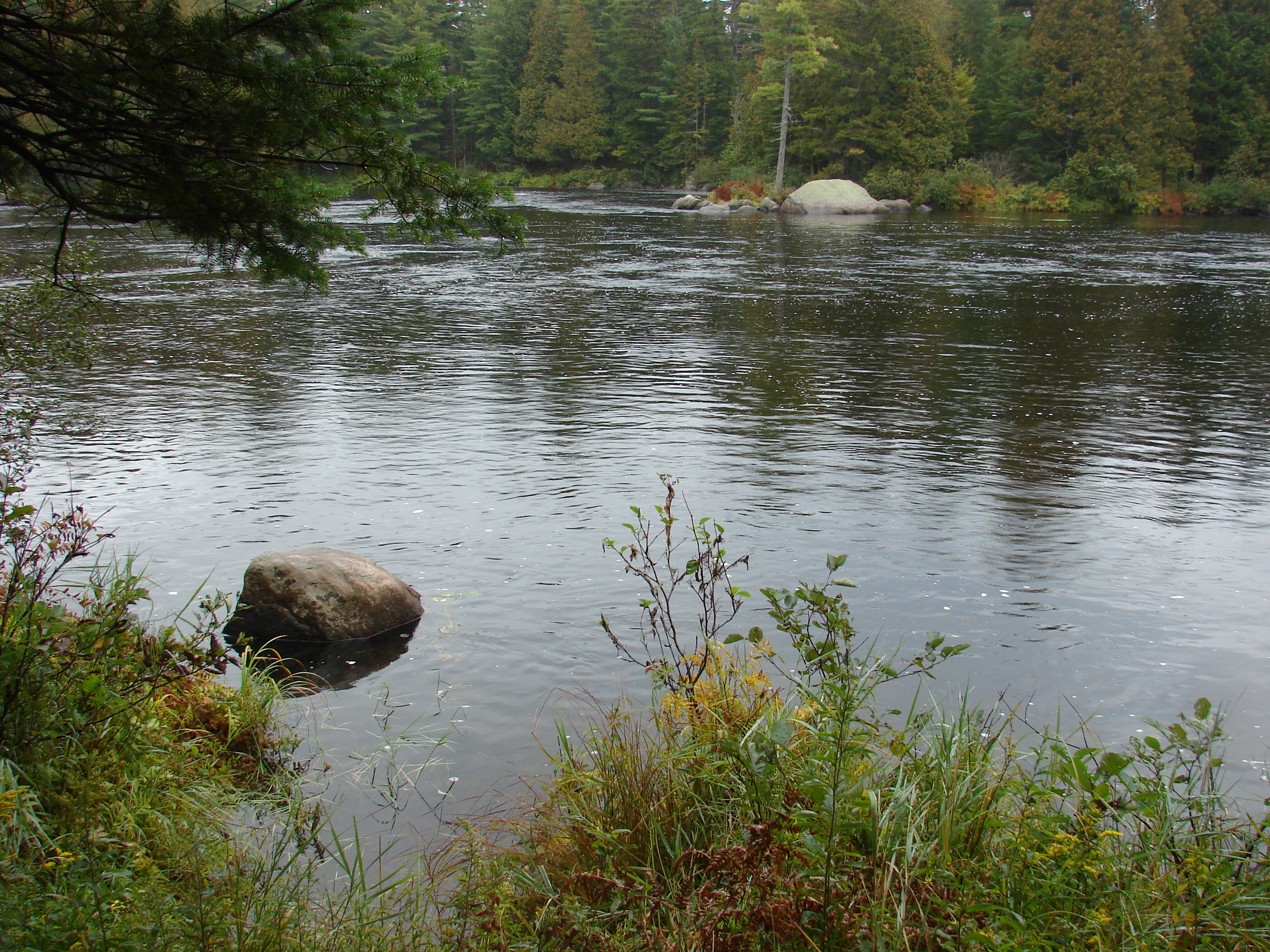
Fresh Water

Massawepie Mire off RR bed
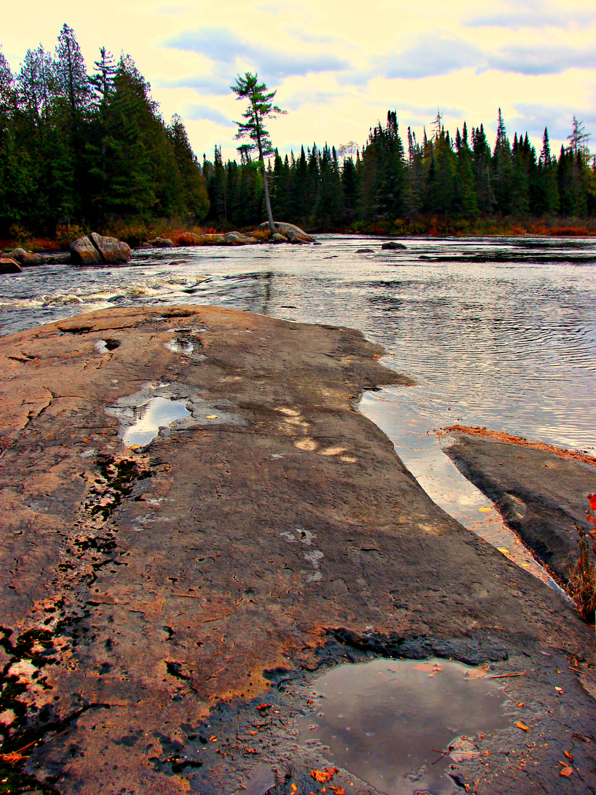
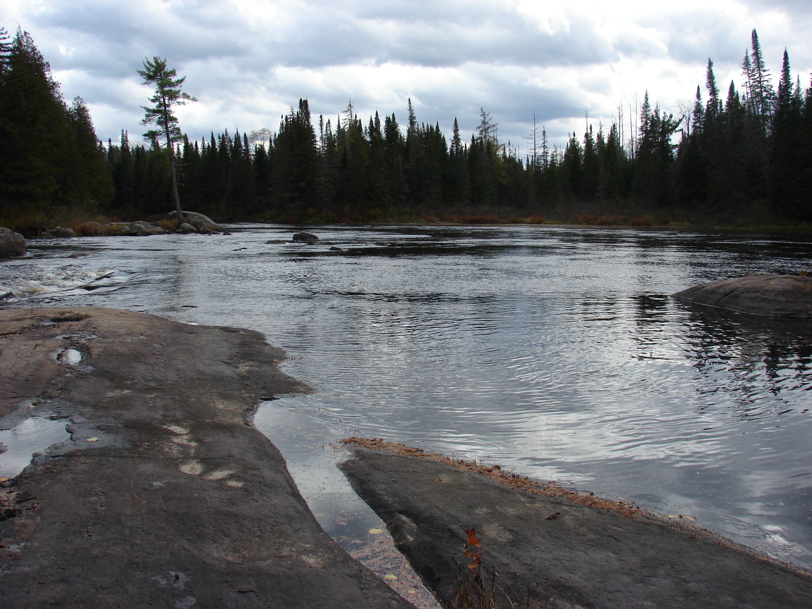
Moody Falls
Moody Falls
Moody Falls
CranberryLake,NY_©DaveSpier_D075324flickr
Claire's Tenting Trip June 2013 072

Mossy glen in Massawepie

3.Massawepie Mire
Claire's Tenting Trip June 2013 068
Massawepie Bog
Blue Mountain
Claire's Tenting Trip June 2013 100

Sunset from 2500ft Up
Claire's Tenting Trip June 2013 062

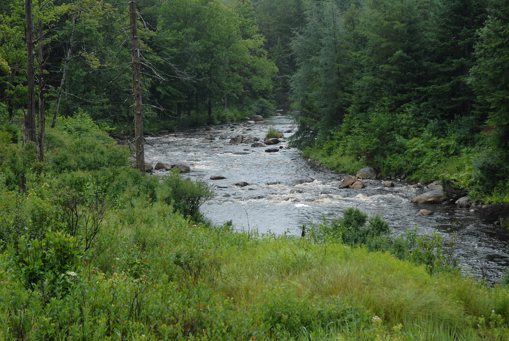
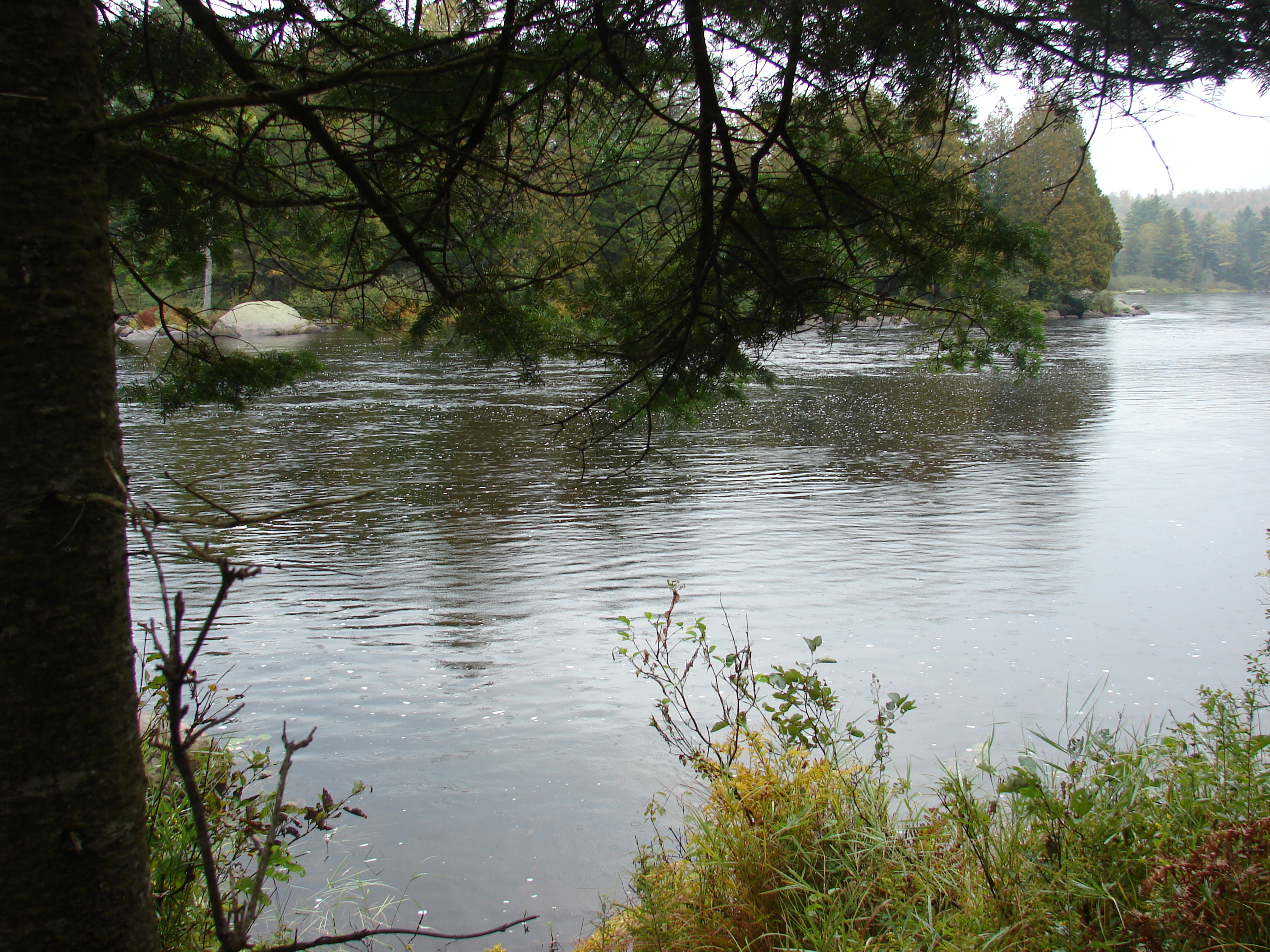
Grasse River south branch
Topographic Map of 36 Sevey Rd, Childwold, NY, USA
Find elevation by address:

Places near 36 Sevey Rd, Childwold, NY, USA:
Childwold
The Bog Road
Carry Falls Reservoir
Cranberry Lake
500 Columbian Rd
50 Mt Arab Rd, Tupper Lake, NY, USA
Stark Cemetery
Clifton
10 Circle Rd, Long Lake, NY, USA
1168 Raquette River Rd
Hopkinton
33 2nd St, Wanakena, NY, USA
St. Lawrence County
1168 3 Falls Ln
South Colton
13 Windmill Rd, South Colton, NY, USA
Newton Falls
Long Lake
Hide Away Cafe
Colton
Recent Searches:
- Elevation of Zimmer Trail, Pennsylvania, USA
- Elevation of 87 Kilmartin Ave, Bristol, CT, USA
- Elevation of Honghe National Nature Reserve, QP95+PJP, Tongjiang, Heilongjiang, Jiamusi, Heilongjiang, China
- Elevation of Hercules Dr, Colorado Springs, CO, USA
- Elevation of Szlak pieszy czarny, Poland
- Elevation of Griffing Blvd, Biscayne Park, FL, USA
- Elevation of Kreuzburger Weg 13, Düsseldorf, Germany
- Elevation of Gateway Blvd SE, Canton, OH, USA
- Elevation of East W.T. Harris Boulevard, E W.T. Harris Blvd, Charlotte, NC, USA
- Elevation of West Sugar Creek, Charlotte, NC, USA