Elevation of The Bog Road, The Bog Rd, Childwold, NY, USA
Location: United States > New York > St. Lawrence County > Childwold >
Longitude: -74.771858
Latitude: 44.3034089
Elevation: 449m / 1473feet
Barometric Pressure: 96KPa
Elevation Map:
Satellite Map:
Related Photos:
Cranberry Lake
CranberryLake,NY_©DaveSpier_D075324flickr
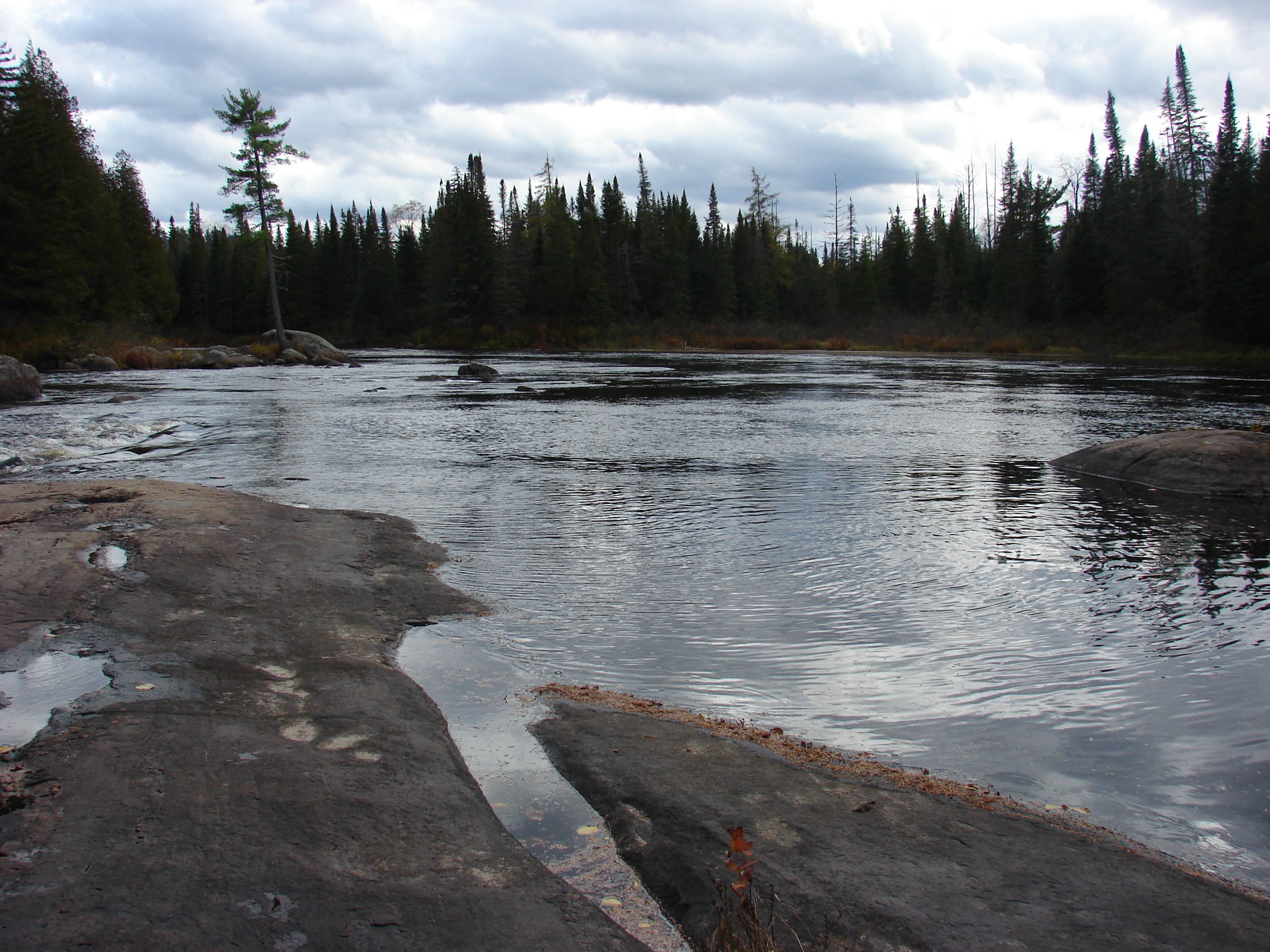
Moody Falls

Copper Rock Falls

Cranberry 2007-09-04-35 copy
Fresh Water

Massawepie Mire off RR bed
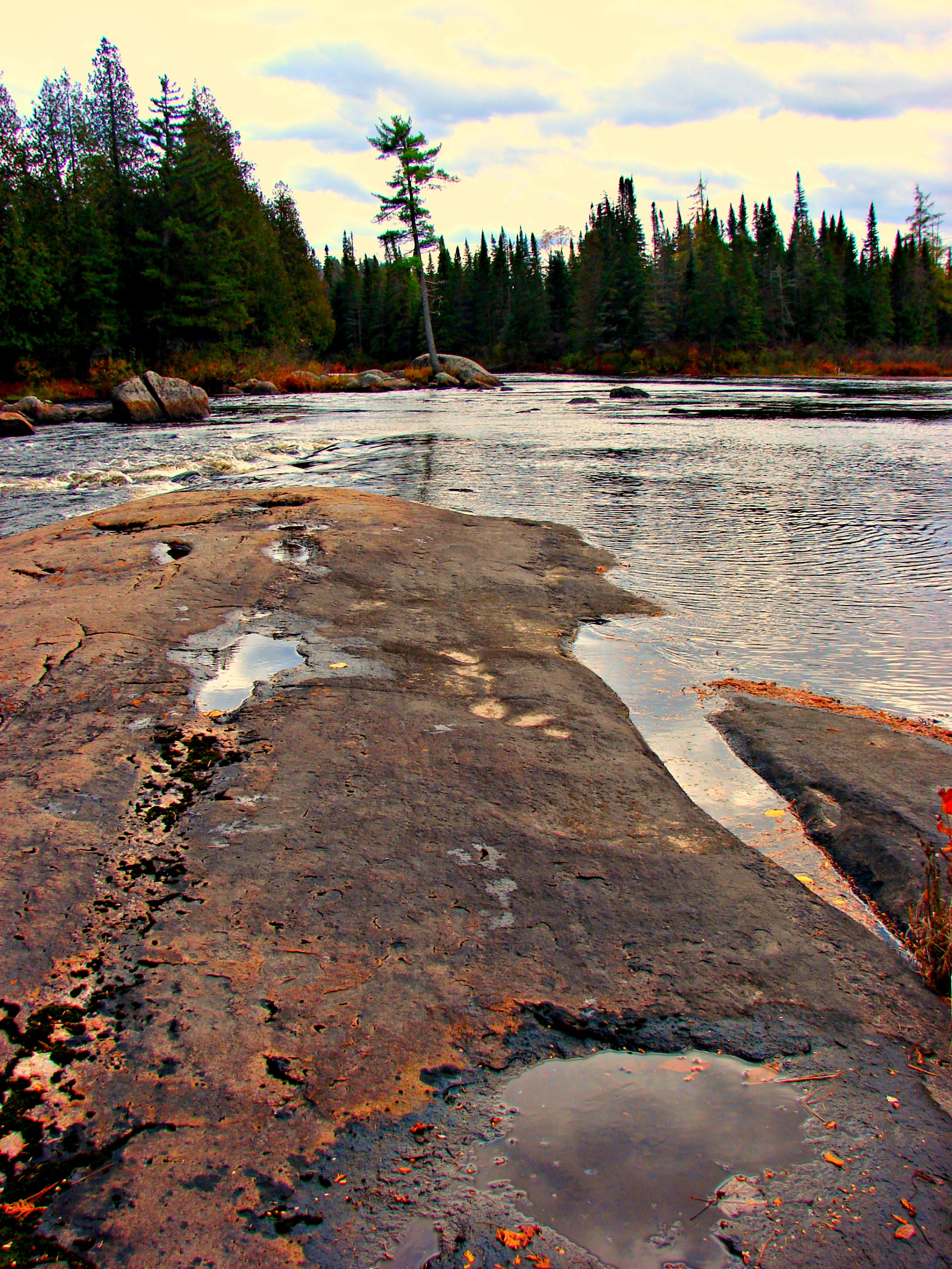
Moody Falls
Moody Falls
Moody Falls

Mossy glen in Massawepie

3.Massawepie Mire
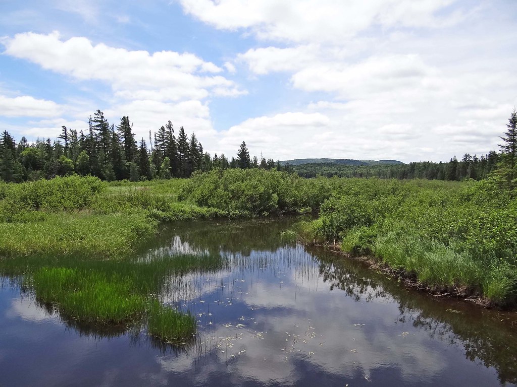
Massawepie Bog

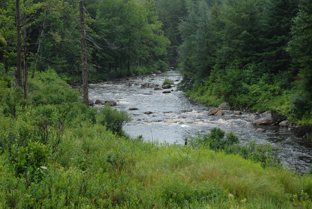
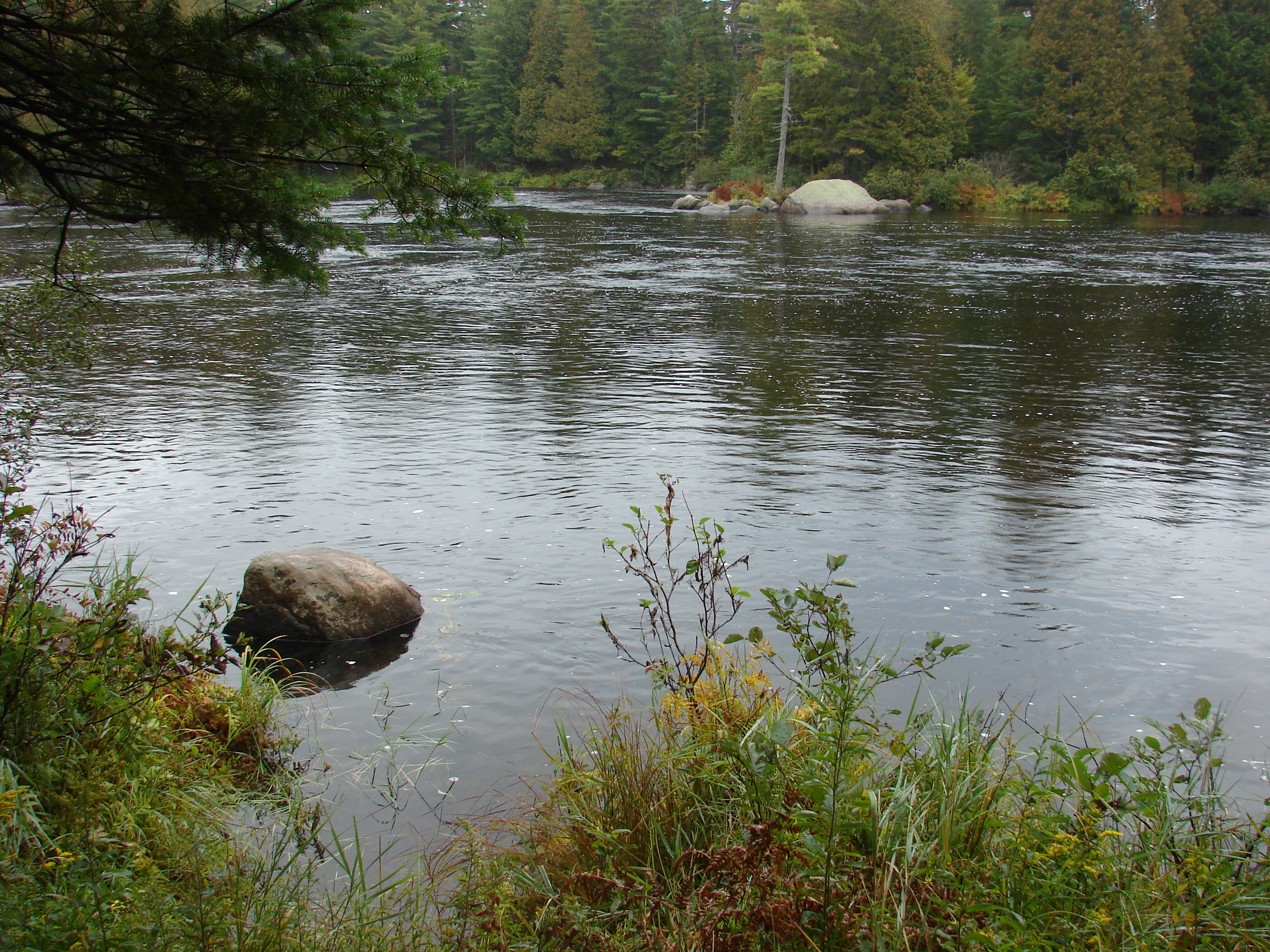
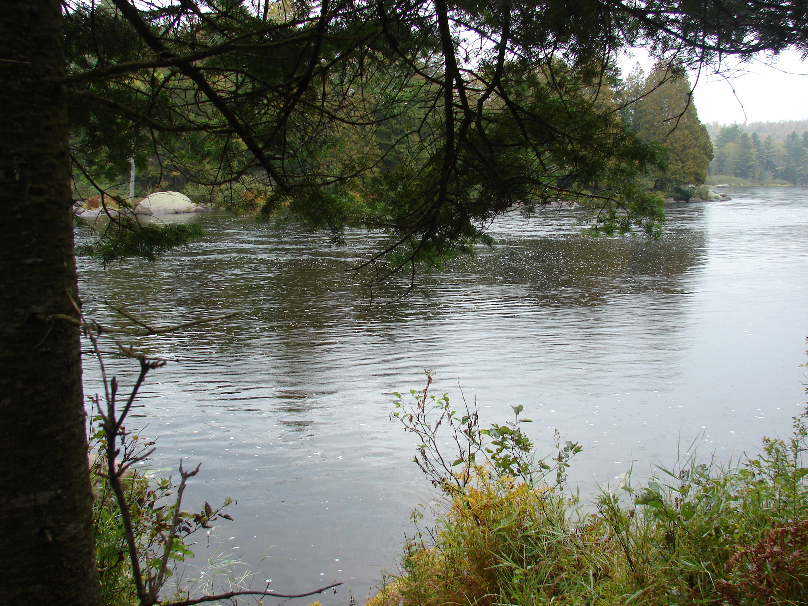
Grasse River south branch
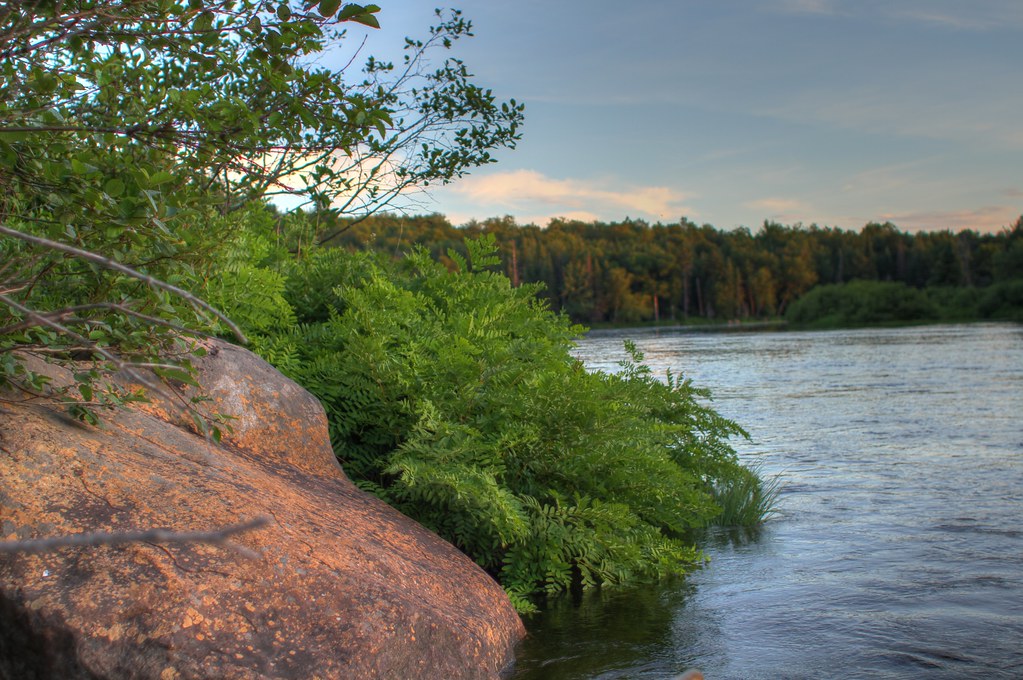
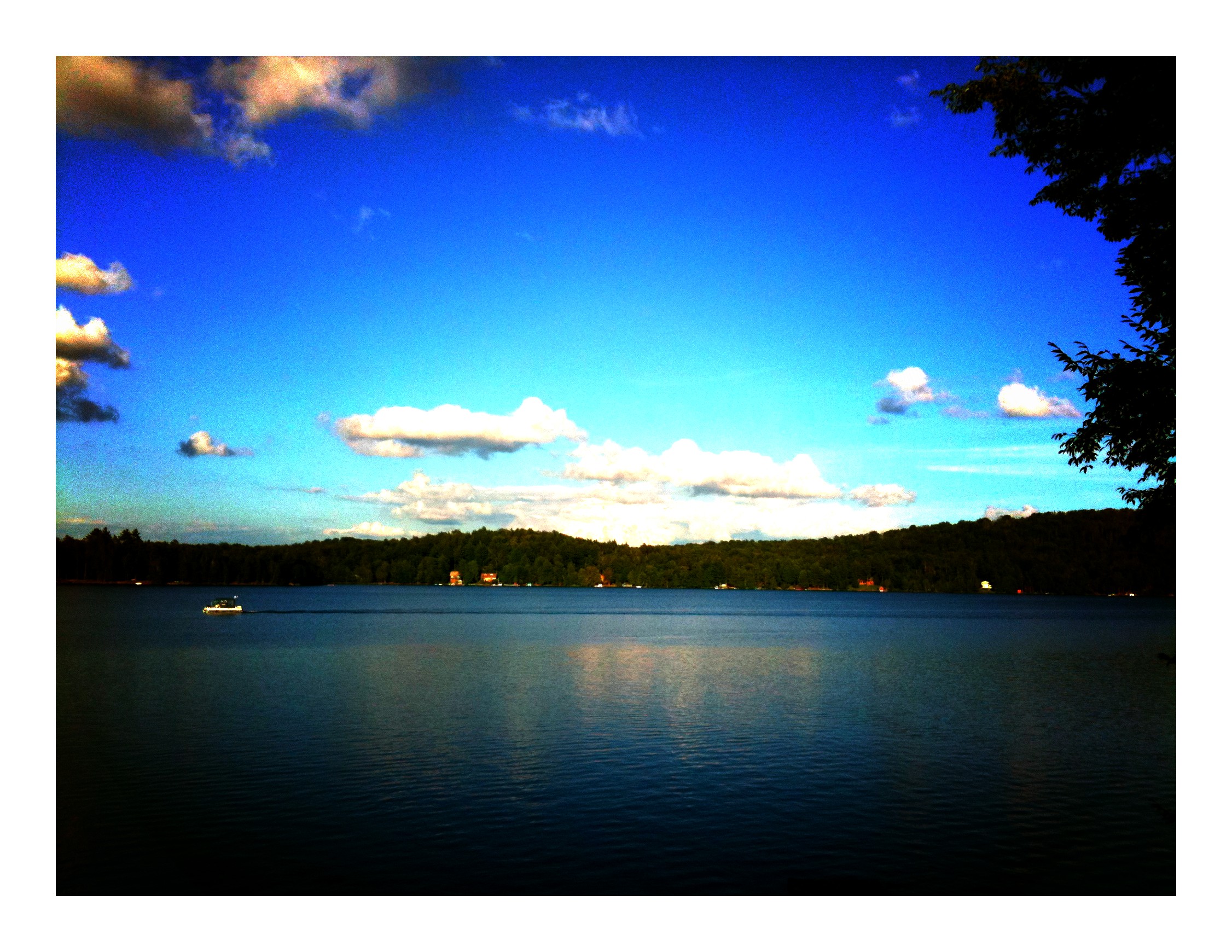
Raquette River at dusk

Microhabitat at downed Tamarack
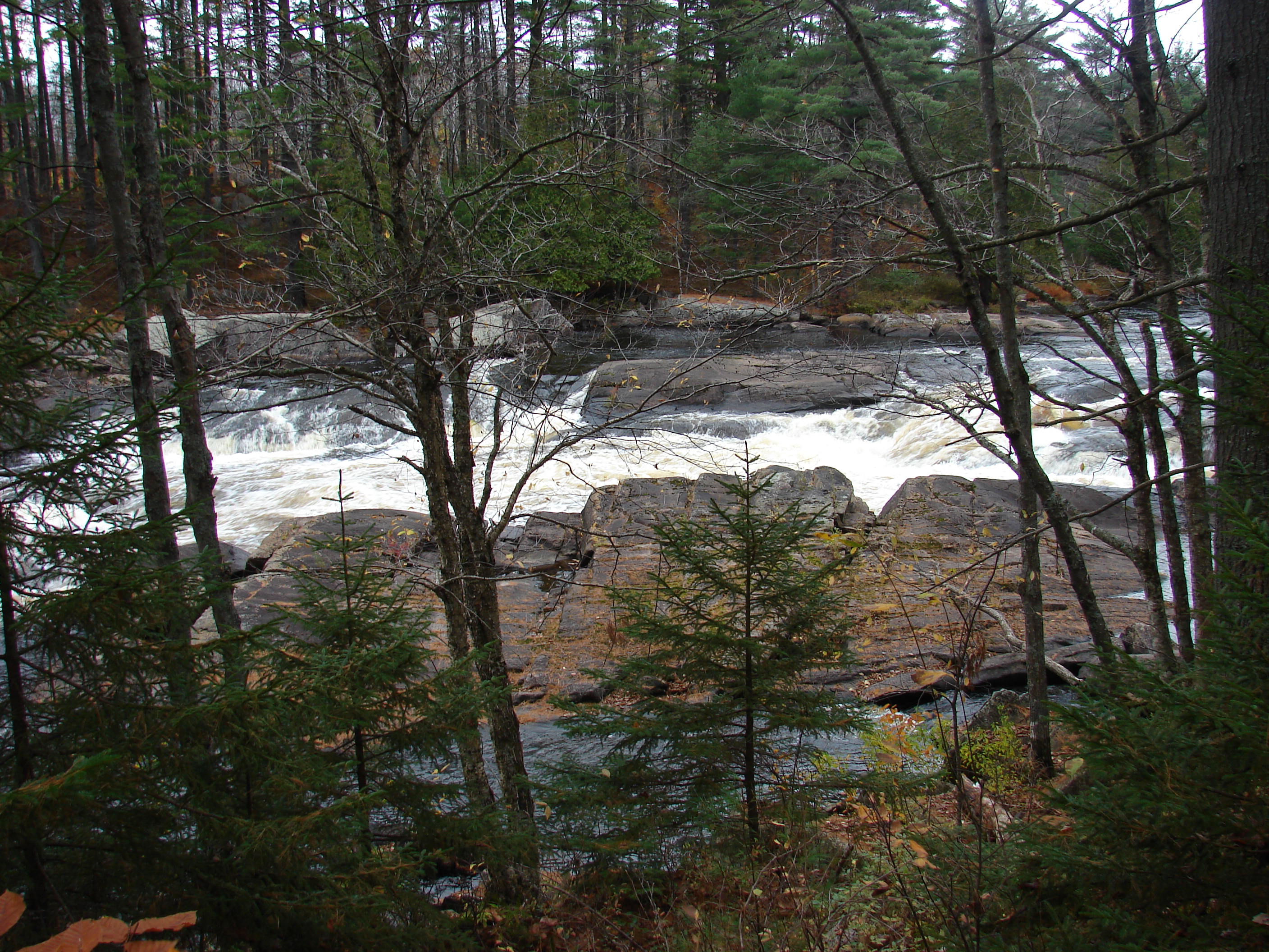
Moody Falls

fritillaries mating

Adirondack Mountains, NY

Lincoln's Sparrow (Melospiza lincolnii)
Massawepie 2
Topographic Map of The Bog Road, The Bog Rd, Childwold, NY, USA
Find elevation by address:

Places near The Bog Road, The Bog Rd, Childwold, NY, USA:
36 Sevey Rd, Childwold, NY, USA
Cranberry Lake
Childwold
Carry Falls Reservoir
500 Columbian Rd
Stark Cemetery
Clifton
1168 Raquette River Rd
St. Lawrence County
50 Mt Arab Rd, Tupper Lake, NY, USA
33 2nd St, Wanakena, NY, USA
10 Circle Rd, Long Lake, NY, USA
Newton Falls
South Colton
13 Windmill Rd, South Colton, NY, USA
1168 3 Falls Ln
Hopkinton
Hide Away Cafe
35 Catherine St, Star Lake, NY, USA
Colton
Recent Searches:
- Elevation of Leyte Industrial Development Estate, Isabel, Leyte, Philippines
- Elevation of W Granada St, Tampa, FL, USA
- Elevation of Pykes Down, Ivybridge PL21 0BY, UK
- Elevation of Jalan Senandin, Lutong, Miri, Sarawak, Malaysia
- Elevation of Bilohirs'k
- Elevation of 30 Oak Lawn Dr, Barkhamsted, CT, USA
- Elevation of Luther Road, Luther Rd, Auburn, CA, USA
- Elevation of Unnamed Road, Respublika Severnaya Osetiya — Alaniya, Russia
- Elevation of Verkhny Fiagdon, North Ossetia–Alania Republic, Russia
- Elevation of F. Viola Hiway, San Rafael, Bulacan, Philippines