Elevation of City Rd, Fitzgerald, GA, USA
Location: United States > Georgia > Ben Hill County > Fitzgerald >
Longitude: -83.236424
Latitude: 31.799103
Elevation: 78m / 256feet
Barometric Pressure: 100KPa
Elevation Map:
Satellite Map:
Related Photos:

Pine Level Farmhouse

Four Cows

Hay bales

CSX 838, headed to Waycross
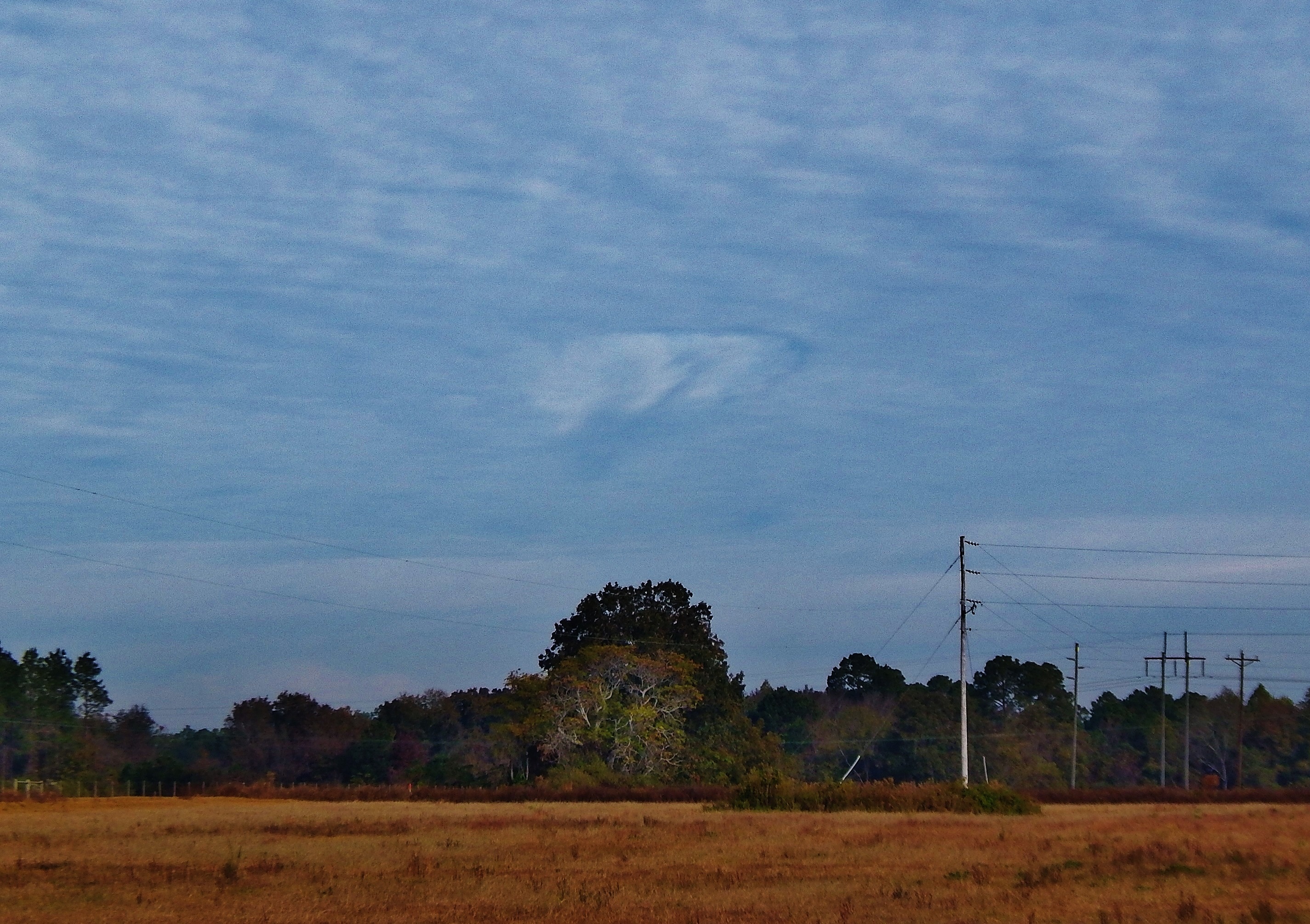
Hole punch cloud, NW of Fitzgerald GA
Topographic Map of City Rd, Fitzgerald, GA, USA
Find elevation by address:

Places near City Rd, Fitzgerald, GA, USA:
374 Otter Creek Rd
131 Otter Creek Rd
443 Lulaville Rd
Ben Hill County
River Rd, Fitzgerald, GA, USA
285 Preston Dr
Westwood Dr, Fitzgerald, GA, USA
Fitzgerald
108 Shenandoah Dr
125 Shady Ln
1426 River Rd
GA-, Milan, GA, USA
10 Mile Rd, Rebecca, GA, USA
122 Nancy Ln
106 Pine Ct
Rhine
Ocilla
Abbeville
Pinetta Rd, Ocilla, GA, USA
Irwin County
Recent Searches:
- Elevation of Bydgoszcz, Poland
- Elevation of Bydgoszcz, Poland
- Elevation of Calais Dr, Del Mar, CA, USA
- Elevation of Placer Mine Ln, West Jordan, UT, USA
- Elevation of E 63rd St, New York, NY, USA
- Elevation of Elk City, OK, USA
- Elevation of Erika Dr, Windsor, CA, USA
- Elevation of Village Ln, Finleyville, PA, USA
- Elevation of 24 Oakland Rd #, Scotland, ON N0E 1R0, Canada
- Elevation of Deep Gap Farm Rd E, Mill Spring, NC, USA