Elevation of Ben Hill County, GA, USA
Location: United States > Georgia >
Longitude: -83.207764
Latitude: 31.7664035
Elevation: 82m / 269feet
Barometric Pressure: 100KPa
Elevation Map:
Satellite Map:
Related Photos:

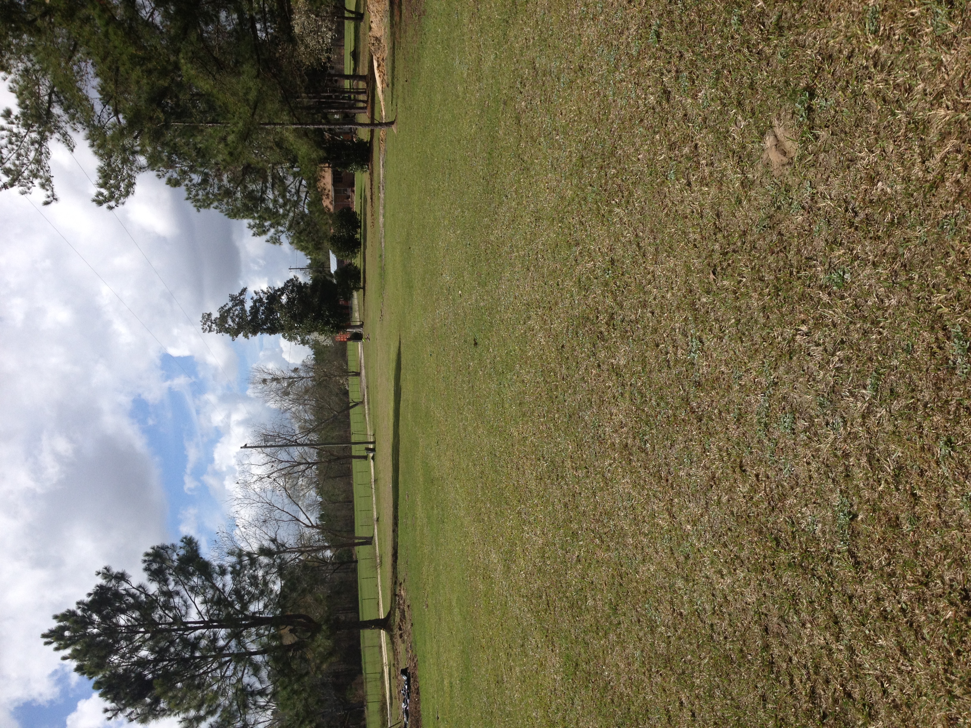
Pine Level Farmhouse

Four Cows

They Shoot Trucks, Don't They?

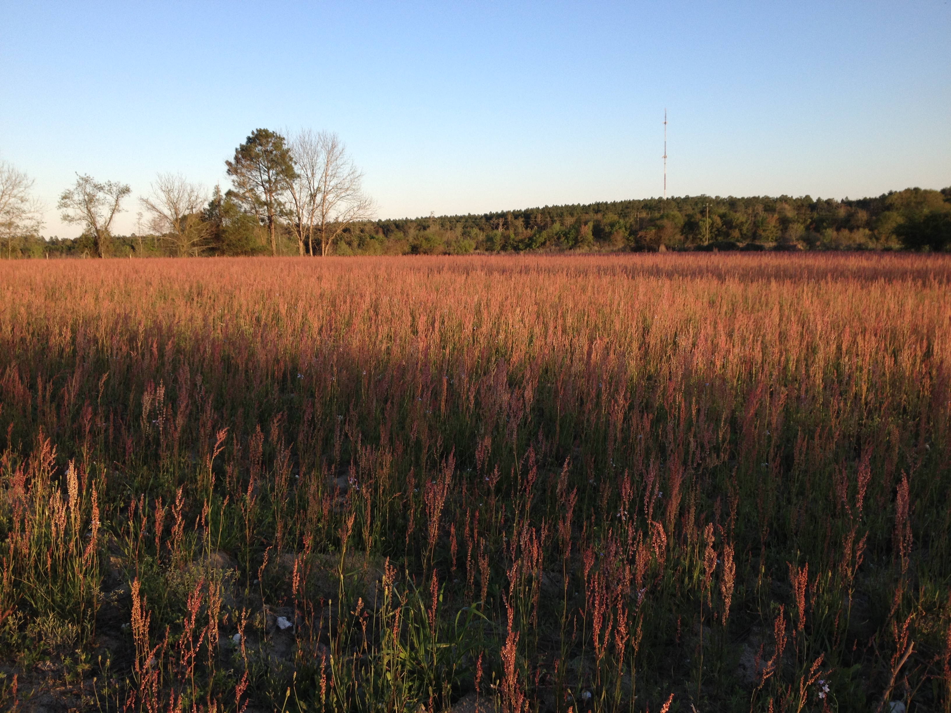
Hay bales


Topographic Map of Ben Hill County, GA, USA
Find elevation by address:

Places in Ben Hill County, GA, USA:
Places near Ben Hill County, GA, USA:
443 Lulaville Rd
131 Otter Creek Rd
374 Otter Creek Rd
City Rd, Fitzgerald, GA, USA
Fitzgerald
River Rd, Fitzgerald, GA, USA
285 Preston Dr
108 Shenandoah Dr
Westwood Dr, Fitzgerald, GA, USA
125 Shady Ln
1426 River Rd
GA-, Milan, GA, USA
106 Pine Ct
Ocilla
10 Mile Rd, Rebecca, GA, USA
122 Nancy Ln
Irwin County
Red Bluff Rd, Wray, GA, USA
Wray Rd, Wray, GA, USA
Wray
Recent Searches:
- Elevation of Dog Leg Dr, Minden, NV, USA
- Elevation of Dog Leg Dr, Minden, NV, USA
- Elevation of Kambingan Sa Pansol Atbp., Purok 7 Pansol, Candaba, Pampanga, Philippines
- Elevation of Pinewood Dr, New Bern, NC, USA
- Elevation of Mountain View, CA, USA
- Elevation of Foligno, Province of Perugia, Italy
- Elevation of Blauwestad, Netherlands
- Elevation of Bella Terra Blvd, Estero, FL, USA
- Elevation of Estates Loop, Priest River, ID, USA
- Elevation of Woodland Oak Pl, Thousand Oaks, CA, USA