Elevation of Fitzgerald, GA, USA
Location: United States > Georgia > Ben Hill County >
Longitude: -83.252654
Latitude: 31.7149082
Elevation: 111m / 364feet
Barometric Pressure: 100KPa
Elevation Map:
Satellite Map:
Related Photos:

Pine Level Farmhouse

Four Cows

Hay bales
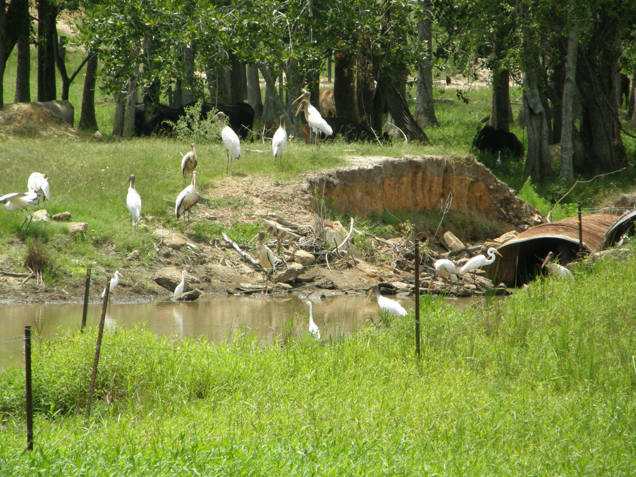
Wood storks and egrets

CSX 838, headed to Waycross
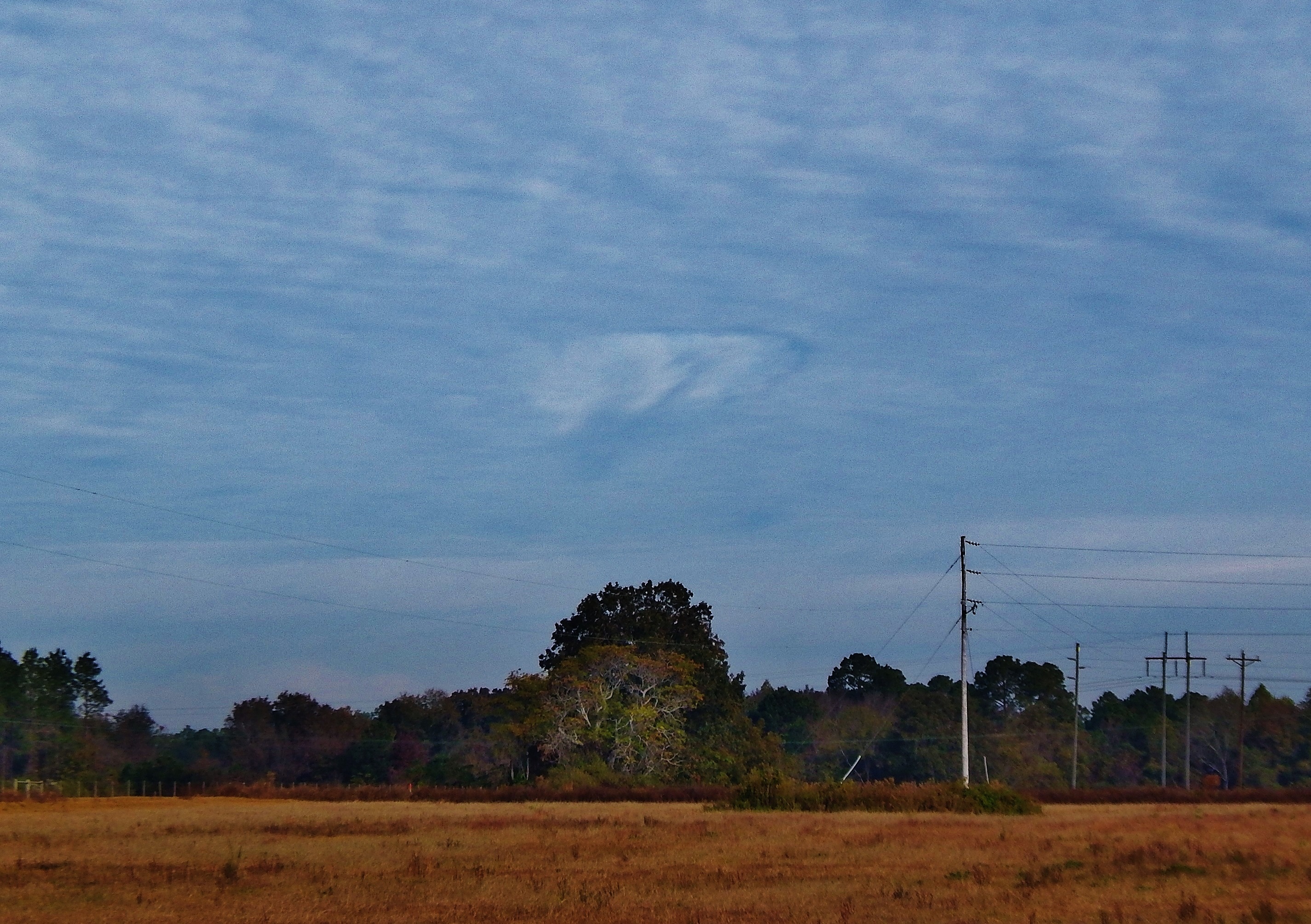
Hole punch cloud, NW of Fitzgerald GA
Topographic Map of Fitzgerald, GA, USA
Find elevation by address:

Places in Fitzgerald, GA, USA:
Places near Fitzgerald, GA, USA:
108 Shenandoah Dr
285 Preston Dr
125 Shady Ln
Westwood Dr, Fitzgerald, GA, USA
Ben Hill County
443 Lulaville Rd
131 Otter Creek Rd
City Rd, Fitzgerald, GA, USA
374 Otter Creek Rd
106 Pine Ct
Ocilla
10 Mile Rd, Rebecca, GA, USA
Irwin County
River Rd, Fitzgerald, GA, USA
122 Nancy Ln
Pinetta Rd, Ocilla, GA, USA
293 Poppy Rd
1426 River Rd
GA-, Milan, GA, USA
Wray Rd, Wray, GA, USA
Recent Searches:
- Elevation of Bella Terra Blvd, Estero, FL, USA
- Elevation of Estates Loop, Priest River, ID, USA
- Elevation of Woodland Oak Pl, Thousand Oaks, CA, USA
- Elevation of Brownsdale Rd, Renfrew, PA, USA
- Elevation of Corcoran Ln, Suffolk, VA, USA
- Elevation of Mamala II, Sariaya, Quezon, Philippines
- Elevation of Sarangdanda, Nepal
- Elevation of 7 Waterfall Way, Tomball, TX, USA
- Elevation of SW 57th Ave, Portland, OR, USA
- Elevation of Crocker Dr, Vacaville, CA, USA