Elevation of Pinetta Rd, Ocilla, GA, USA
Location: United States > Georgia > Irwin County > Ocilla >
Longitude: -83.383484
Latitude: 31.647021
Elevation: 101m / 331feet
Barometric Pressure: 100KPa
Elevation Map:
Satellite Map:
Related Photos:

#Nickel #got #out to #hunt #Christmas #Tree too

Wood storks and egrets

Four Cows

Hay bales
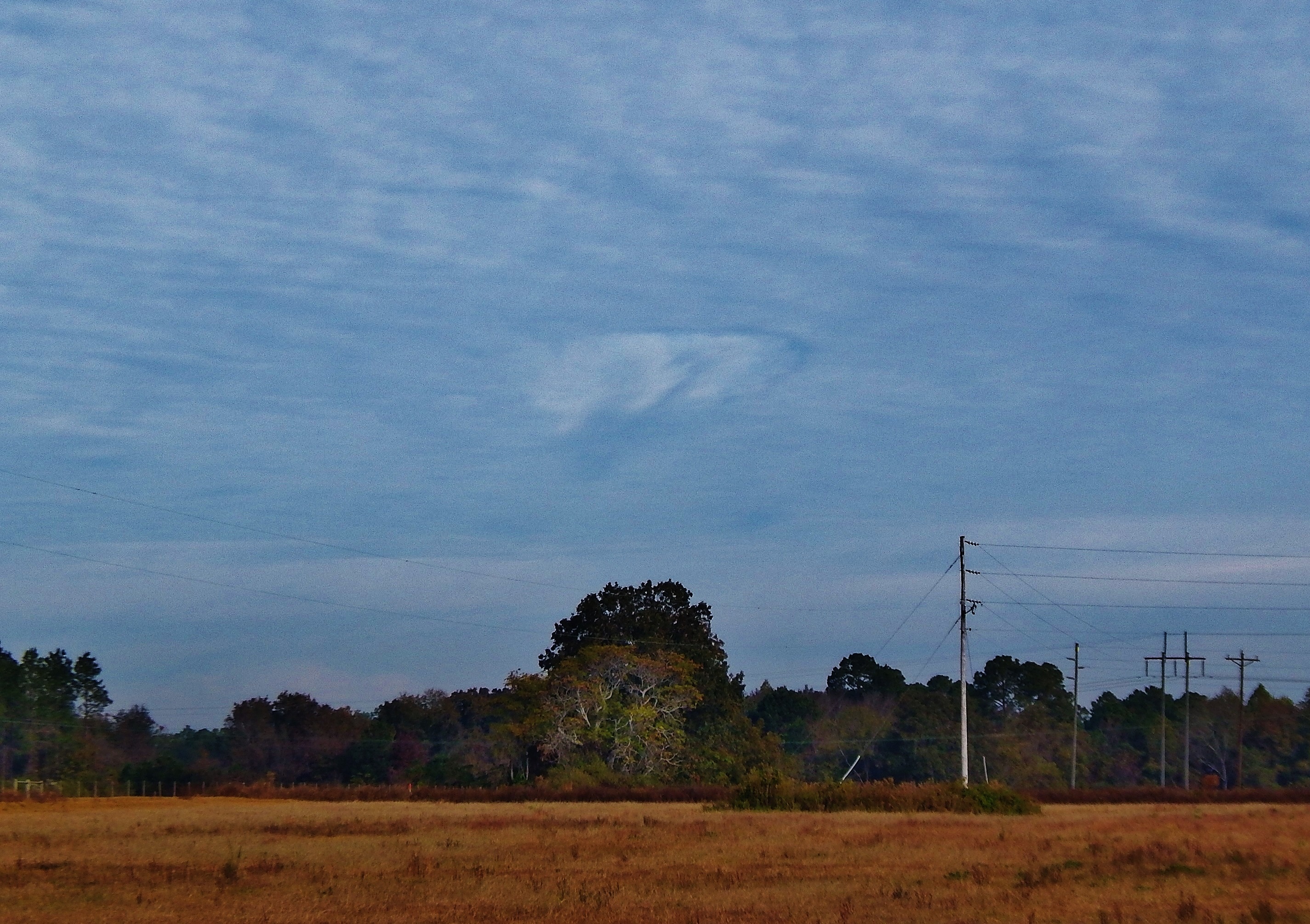
Hole punch cloud, NW of Fitzgerald GA

CSX 838, headed to Waycross

WP_20160502_12_55_35_Rich (2)

Welcome to Jefferson

Jefferson Davis
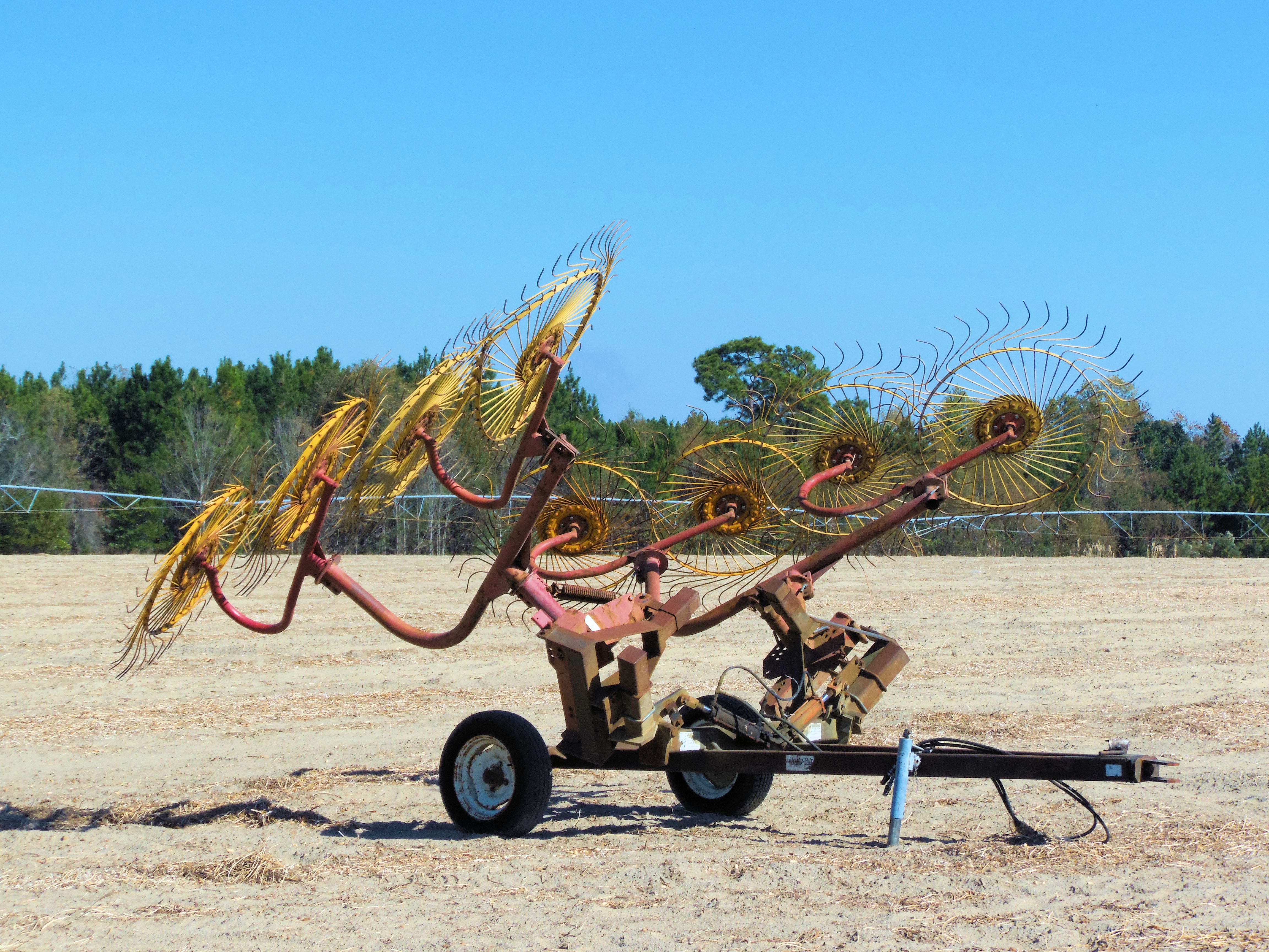
Hay Farming
Topographic Map of Pinetta Rd, Ocilla, GA, USA
Find elevation by address:

Places near Pinetta Rd, Ocilla, GA, USA:
10 Mile Rd, Rebecca, GA, USA
122 Nancy Ln
Irwin County
125 Shady Ln
Westwood Dr, Fitzgerald, GA, USA
108 Shenandoah Dr
285 Preston Dr
Ocilla
151 Duane Dr
Fitzgerald
106 Pine Ct
292 Mt Olive Church Rd
Old Ocilla Rd, Tifton, GA, USA
293 Poppy Rd
505 Paulk Rd
Rebecca
1 Academy Dr, Chula, GA, USA
Riverbend Church Ln, Ocilla, GA, USA
US Hwy 41, Tifton, GA, USA
City Rd, Fitzgerald, GA, USA
Recent Searches:
- Elevation of Elwyn Dr, Roanoke Rapids, NC, USA
- Elevation of Congressional Dr, Stevensville, MD, USA
- Elevation of Bellview Rd, McLean, VA, USA
- Elevation of Stage Island Rd, Chatham, MA, USA
- Elevation of Shibuya Scramble Crossing, 21 Udagawacho, Shibuya City, Tokyo -, Japan
- Elevation of Jadagoniai, Kaunas District Municipality, Lithuania
- Elevation of Pagonija rock, Kranto 7-oji g. 8"N, Kaunas, Lithuania
- Elevation of Co Rd 87, Jamestown, CO, USA
- Elevation of Tenjo, Cundinamarca, Colombia
- Elevation of Côte-des-Neiges, Montreal, QC H4A 3J6, Canada