Elevation of Irwin County, GA, USA
Location: United States > Georgia >
Longitude: -83.293408
Latitude: 31.5893221
Elevation: 111m / 364feet
Barometric Pressure: 100KPa
Elevation Map:
Satellite Map:
Related Photos:

Pine Level Farmhouse

Country Sunrise
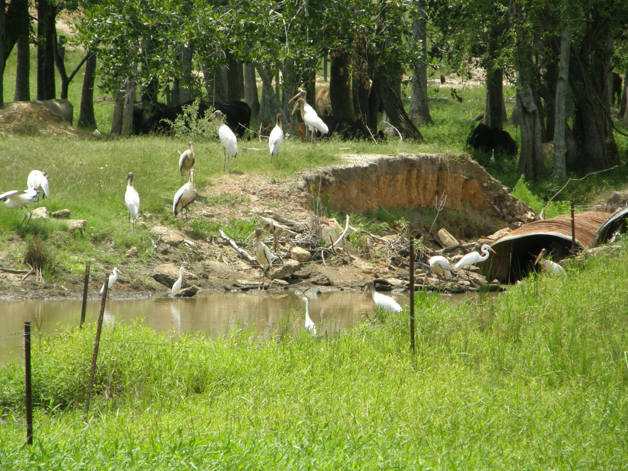
Wood storks and egrets

Four Cows

Hay bales

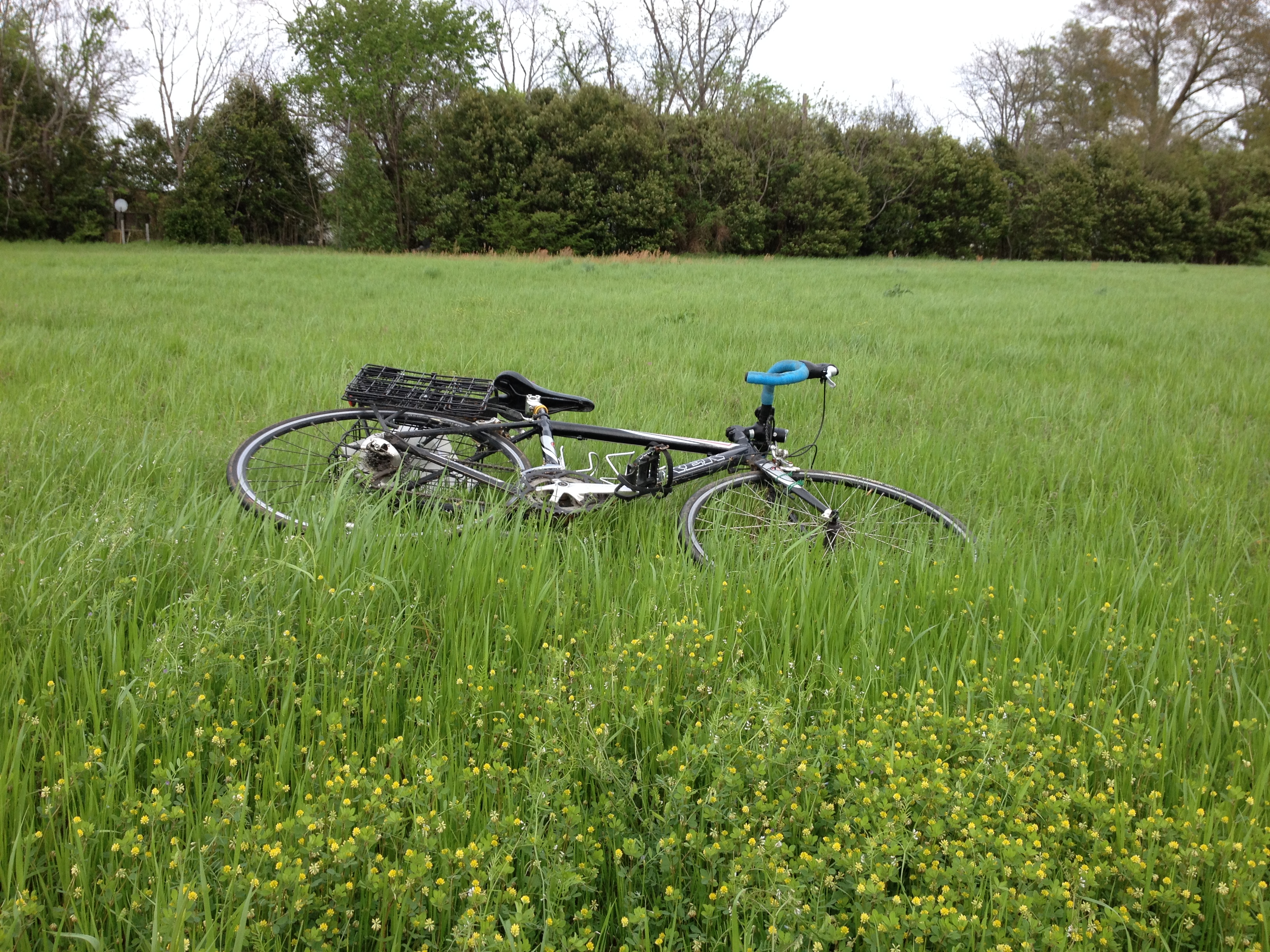
WP_20160422_15_46_07_Pro


Topographic Map of Irwin County, GA, USA
Find elevation by address:

Places in Irwin County, GA, USA:
Places near Irwin County, GA, USA:
Ocilla
106 Pine Ct
293 Poppy Rd
Riverbend Church Ln, Ocilla, GA, USA
Pinetta Rd, Ocilla, GA, USA
125 Shady Ln
108 Shenandoah Dr
Fitzgerald
US-, Alapaha, GA, USA
285 Preston Dr
Westwood Dr, Fitzgerald, GA, USA
10 Mile Rd, Rebecca, GA, USA
292 Mt Olive Church Rd
122 Nancy Ln
Enigma
N Main St, Enigma, GA, USA
Hardy Millpond
Old Ocilla Rd, Tifton, GA, USA
505 Paulk Rd
Chula Brookfield Rd, Tifton, GA, USA
Recent Searches:
- Elevation of Corso Fratelli Cairoli, 35, Macerata MC, Italy
- Elevation of Tallevast Rd, Sarasota, FL, USA
- Elevation of 4th St E, Sonoma, CA, USA
- Elevation of Black Hollow Rd, Pennsdale, PA, USA
- Elevation of Oakland Ave, Williamsport, PA, USA
- Elevation of Pedrógão Grande, Portugal
- Elevation of Klee Dr, Martinsburg, WV, USA
- Elevation of Via Roma, Pieranica CR, Italy
- Elevation of Tavkvetili Mountain, Georgia
- Elevation of Hartfords Bluff Cir, Mt Pleasant, SC, USA