Elevation of Chocolate Drop Cir, Union Mills, NC, USA
Location: United States > North Carolina > Rutherford County > Camp Creek > Union Mills >
Longitude: -81.965543
Latitude: 35.4567754
Elevation: 314m / 1030feet
Barometric Pressure: 98KPa
Elevation Map:
Satellite Map:
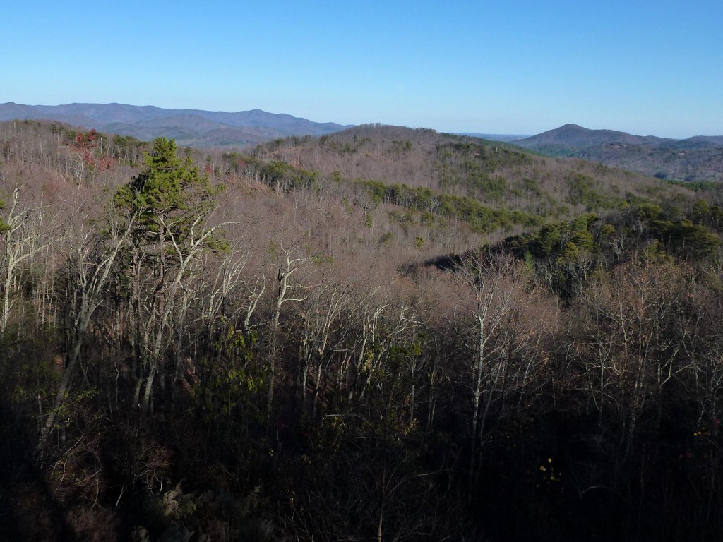
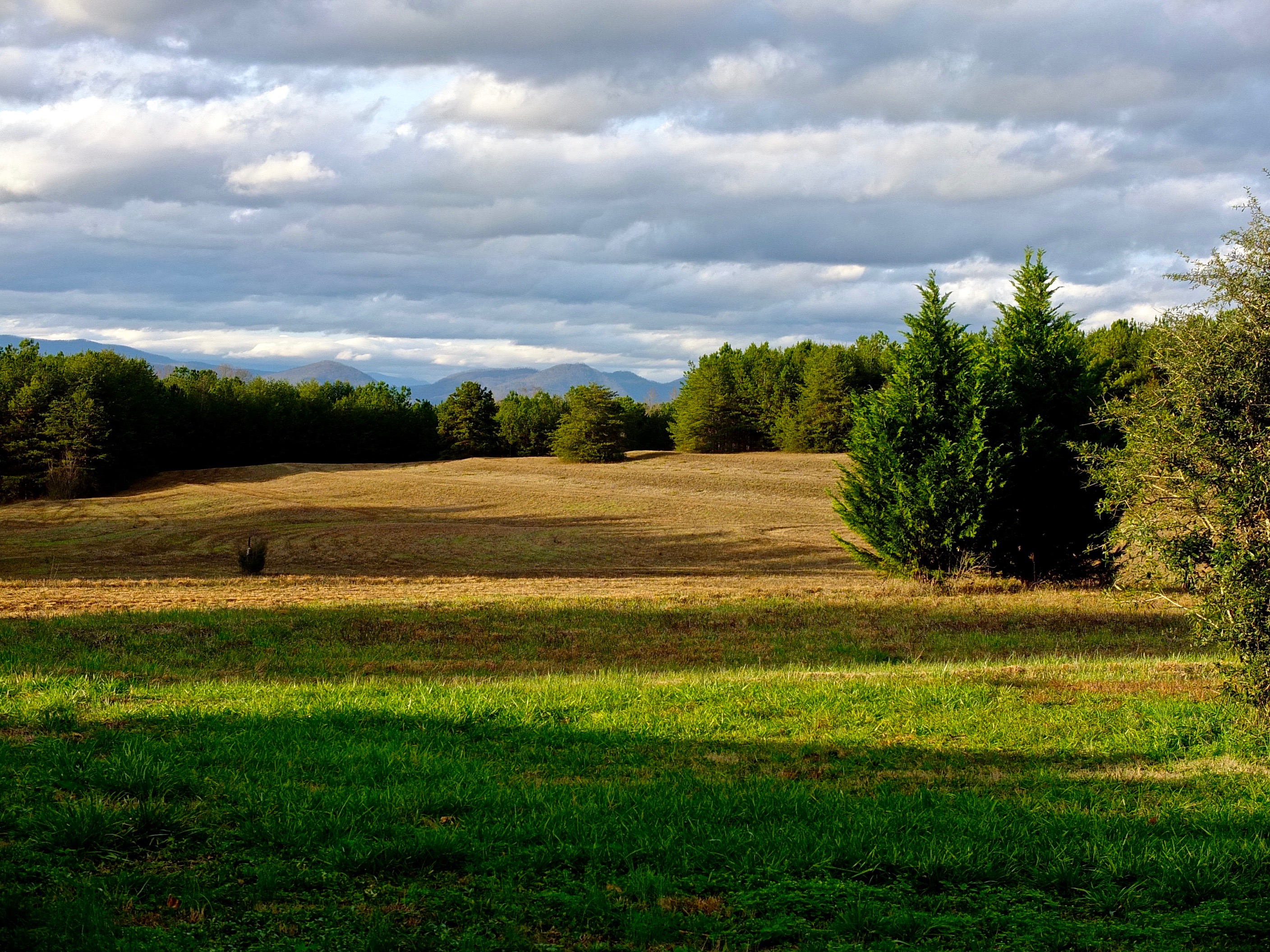
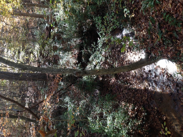
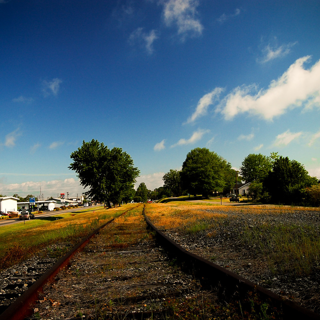
Related Photos:

Gypsy Gold
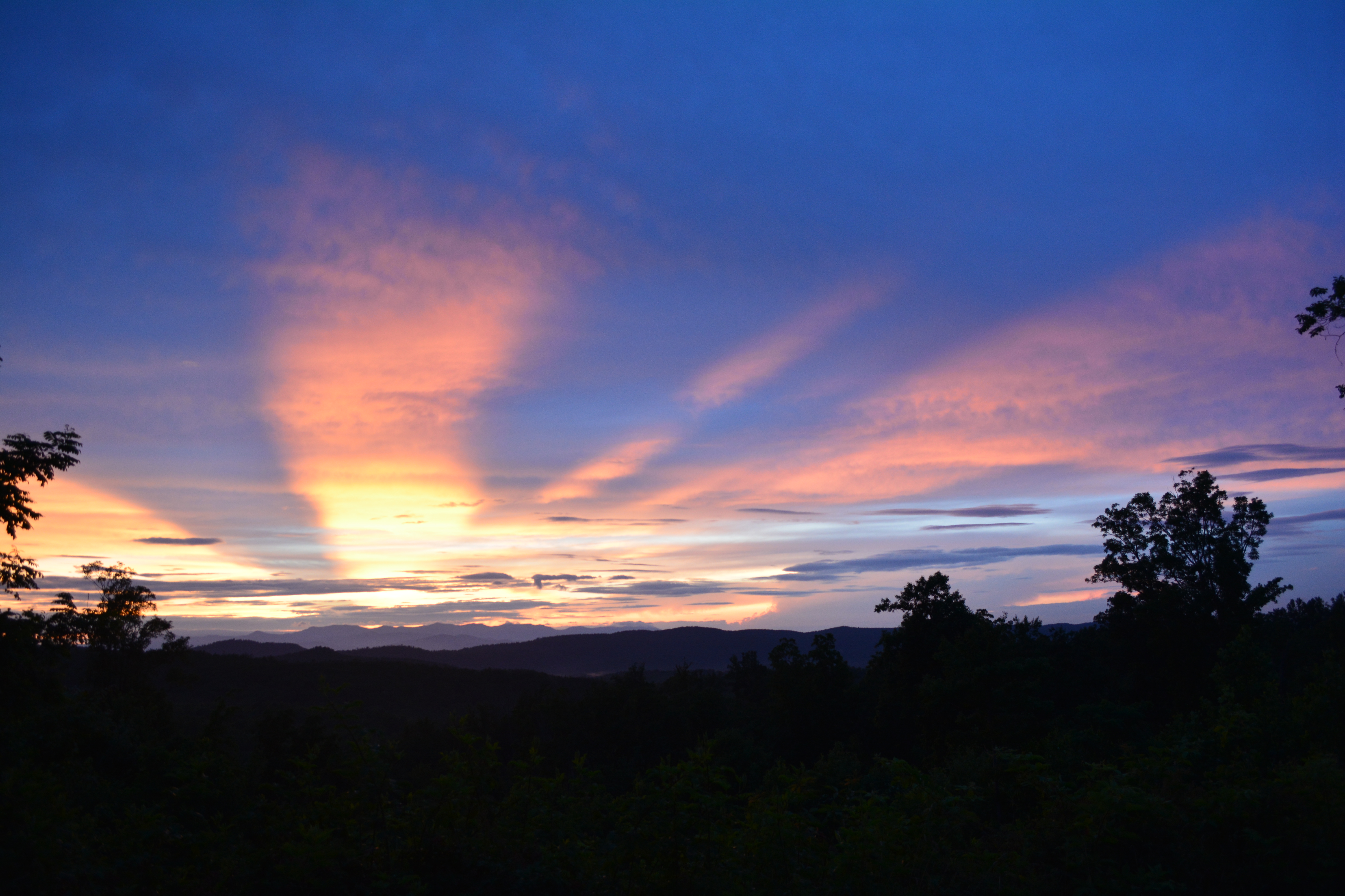
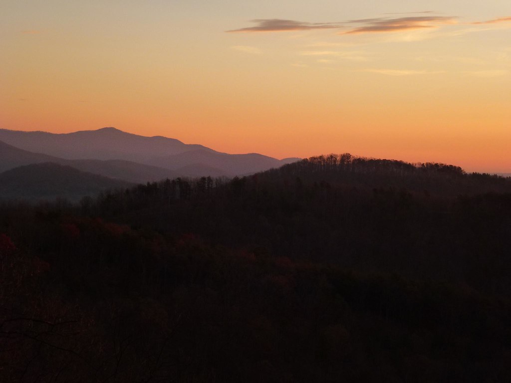
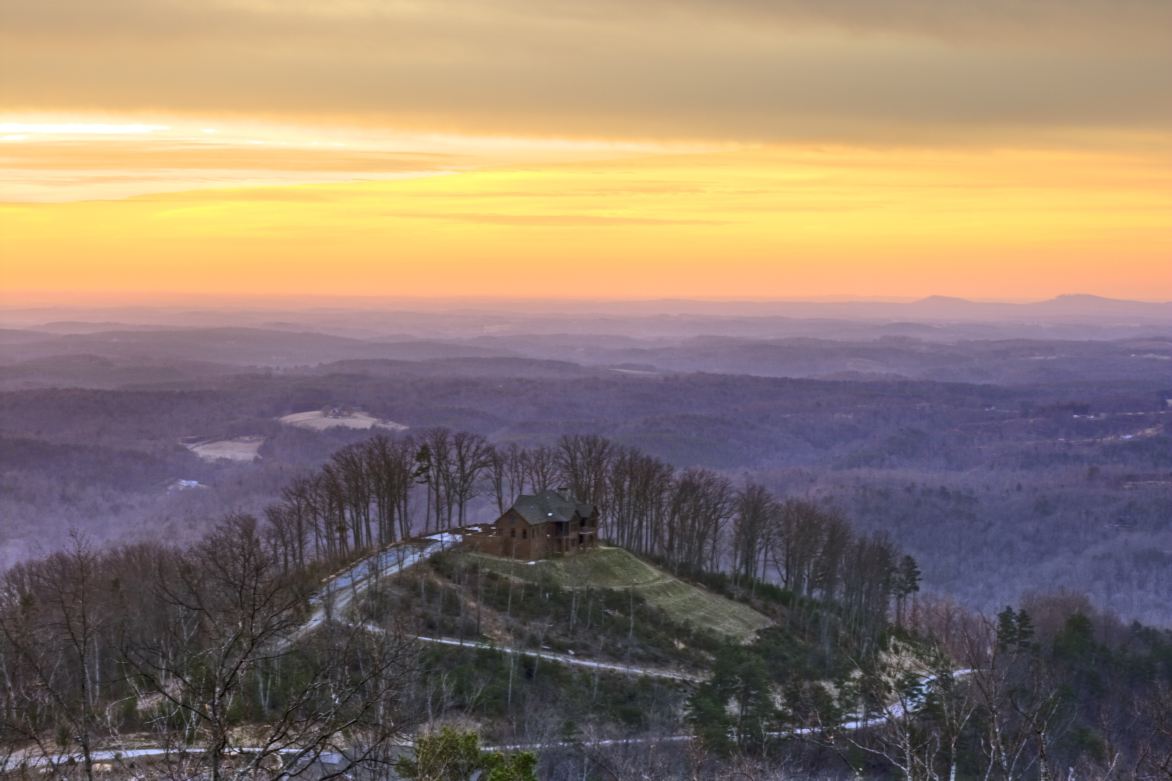
Sunset at Grandview Peaks
Out Back
Sunset at Grandview Peaks
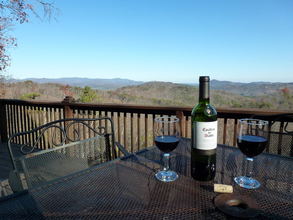
After Dinner View

Not a bad view at all and a fun hike. Base of the waterfall at Chimney Rock.
View from the Deck

Train Chase [II]
Rutherfordton House
IMG_2173 (640x480)
Rock Railroad
Sunrise from the Deck
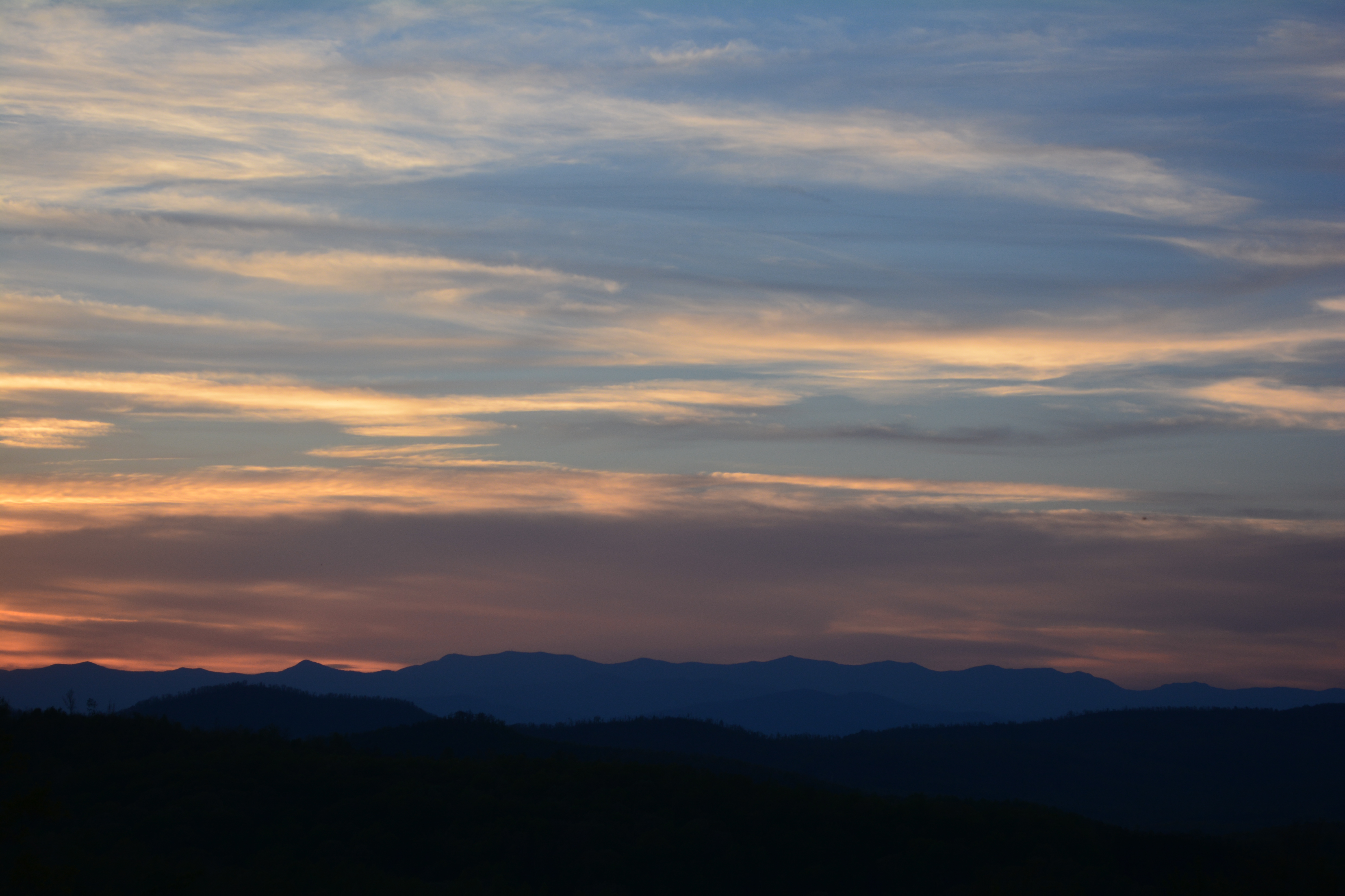
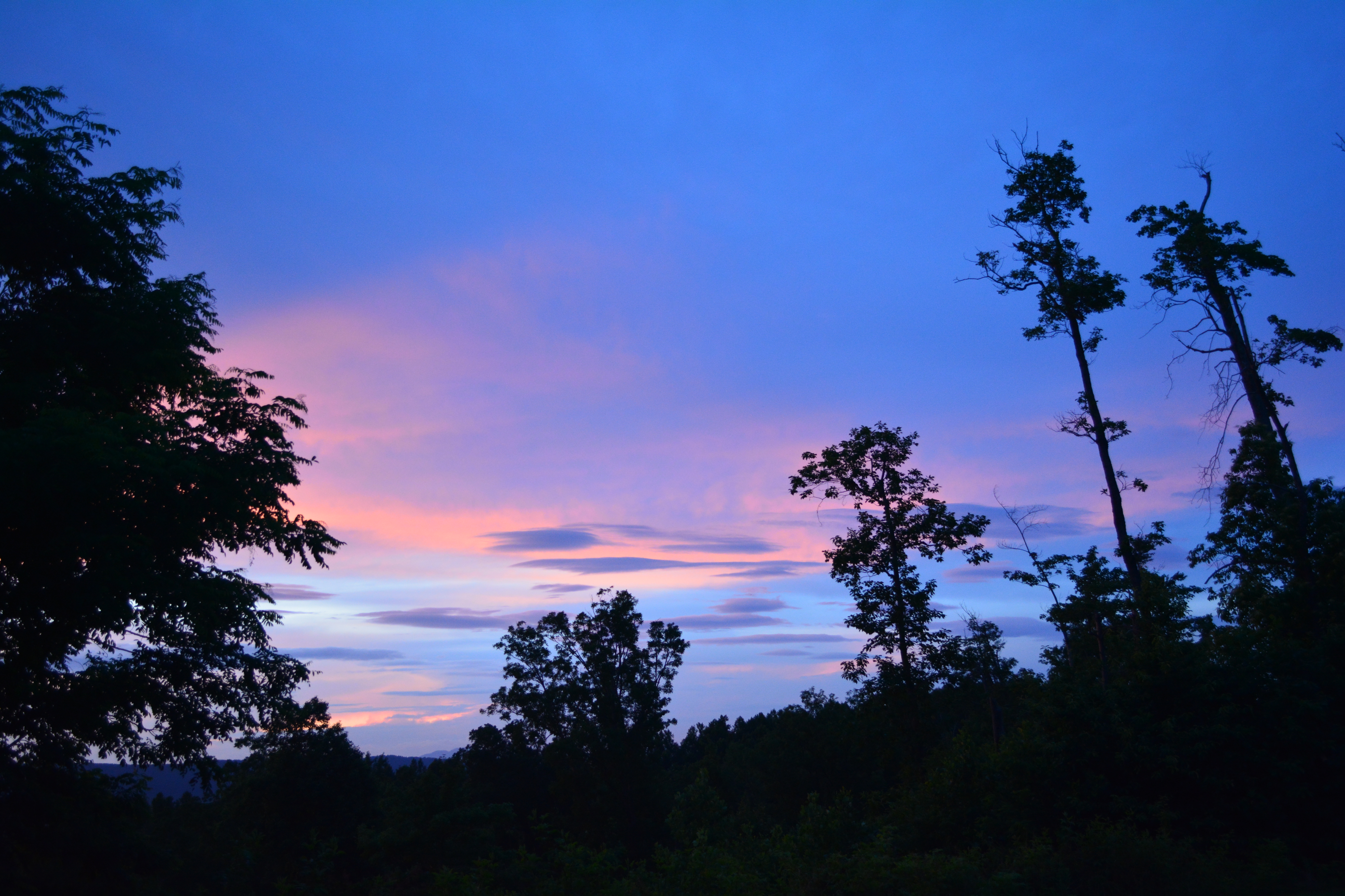
Sunset over the Appalachians
IMG_2161 (640x480)
IMG_2437 (640x480)
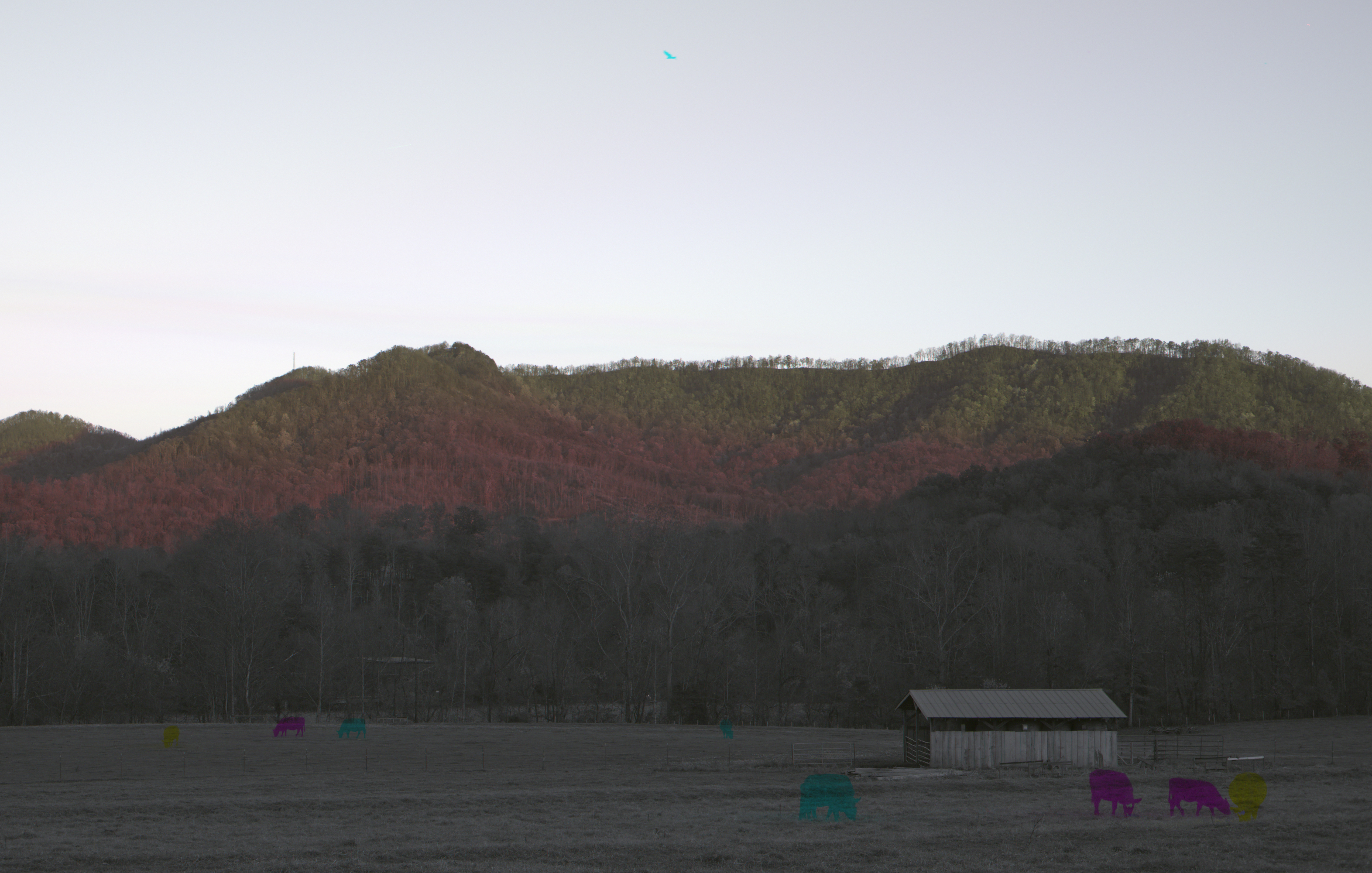
The Grazing of the Grey
For the First Time
IMG_2162 (640x480)
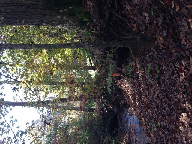
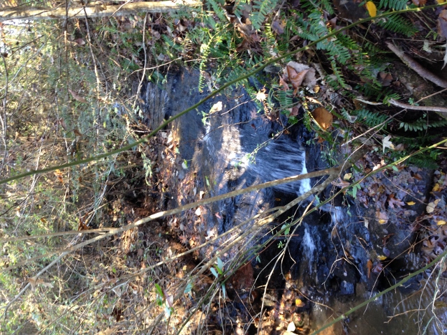
Cleghorn Creek (419)
IMG_2512 (640x480)
IMG_2515 (640x480)
IMG_2435 (640x480)
IMG_2243 (640x480)
IMG_2206 (640x480)
IMG_1561 (640x480)
IMG_2420 (640x480)
IMG_2249 (640x480)
Topographic Map of Chocolate Drop Cir, Union Mills, NC, USA
Find elevation by address:

Places near Chocolate Drop Cir, Union Mills, NC, USA:
214 Chocolate Drop Cir
135 Willowby Run
320 Chocolate Drop Cir
Willowby Run
502 Moonlight Pass
Hearthstone Ridge
520 Widd Lawing Ln
Gilkey
Oak Springs Rd, Rutherfordton, NC, USA
Gilkey
2619 Rock Rd
Union Mills
6558 Hudlow Rd
454 Gilmer Edwards Rd
1904 Centennial Rd
348 Roper Loop Rd
355 Roper Loop Rd
336 Cinnamon Ridge
1142 Clearwater Pkwy
1152 Clearwater Pkwy
Recent Searches:
- Elevation of Congressional Dr, Stevensville, MD, USA
- Elevation of Bellview Rd, McLean, VA, USA
- Elevation of Stage Island Rd, Chatham, MA, USA
- Elevation of Shibuya Scramble Crossing, 21 Udagawacho, Shibuya City, Tokyo -, Japan
- Elevation of Jadagoniai, Kaunas District Municipality, Lithuania
- Elevation of Pagonija rock, Kranto 7-oji g. 8"N, Kaunas, Lithuania
- Elevation of Co Rd 87, Jamestown, CO, USA
- Elevation of Tenjo, Cundinamarca, Colombia
- Elevation of Côte-des-Neiges, Montreal, QC H4A 3J6, Canada
- Elevation of Bobcat Dr, Helena, MT, USA