Elevation of Centennial Rd, Union Mills, NC, USA
Location: United States > North Carolina > Rutherford County > Camp Creek > Union Mills >
Longitude: -81.931333
Latitude: 35.483509
Elevation: 289m / 948feet
Barometric Pressure: 98KPa
Elevation Map:
Satellite Map:
Related Photos:

Out Back
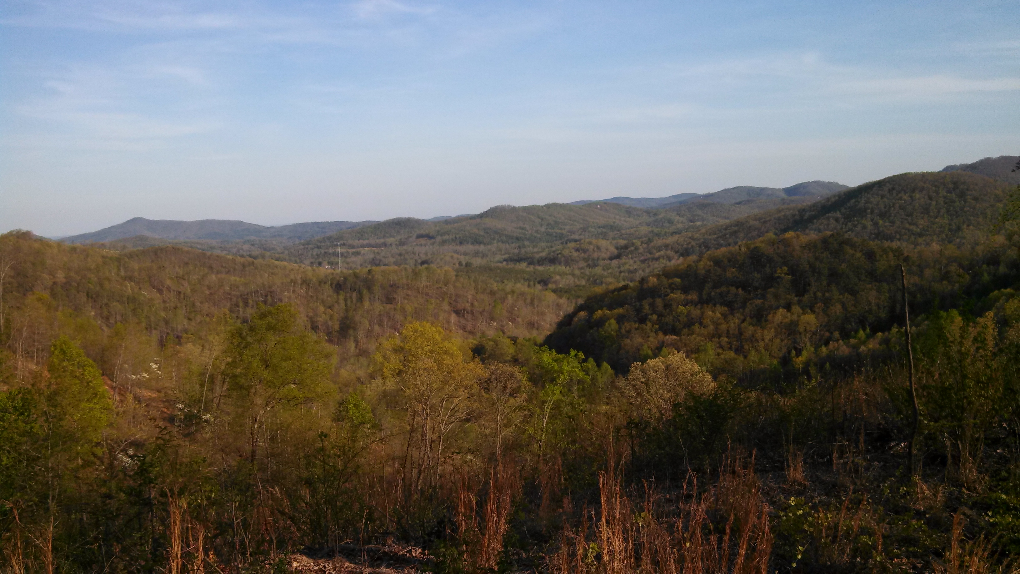
South Mountain Game Lands
After Dinner View

Gypsy Gold
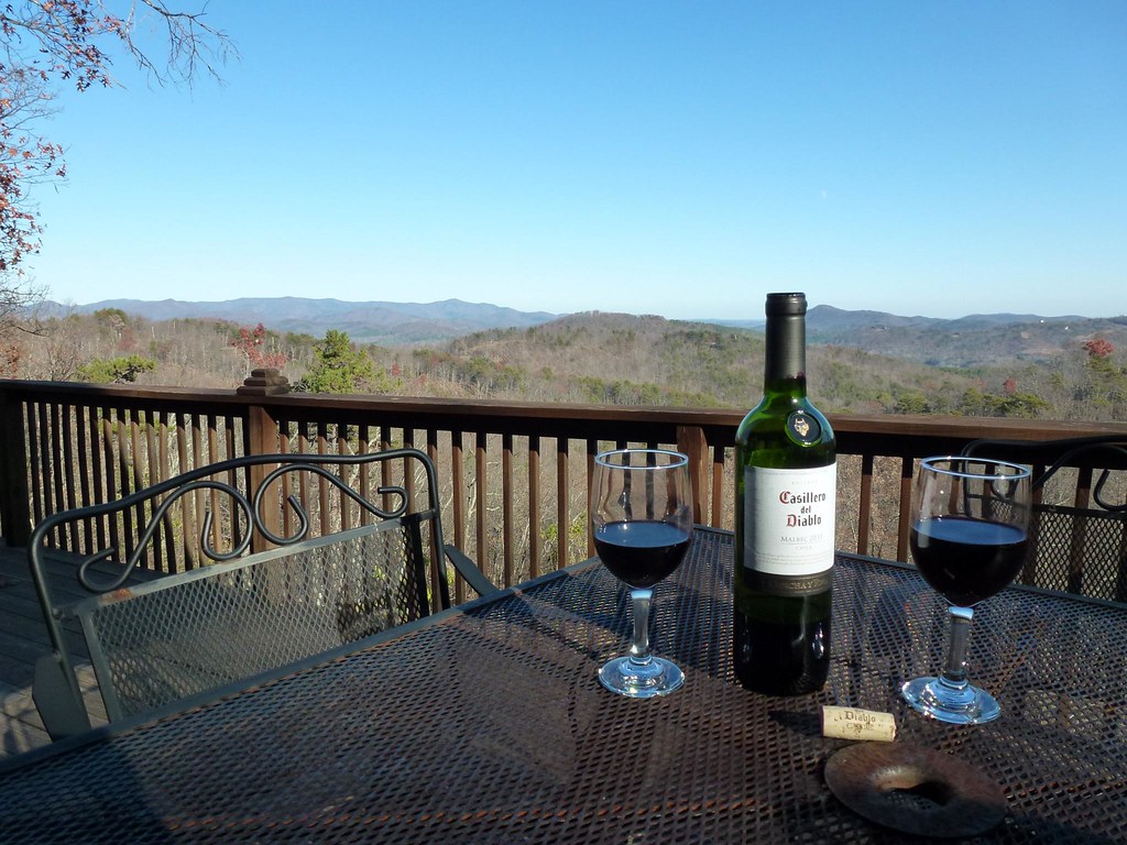
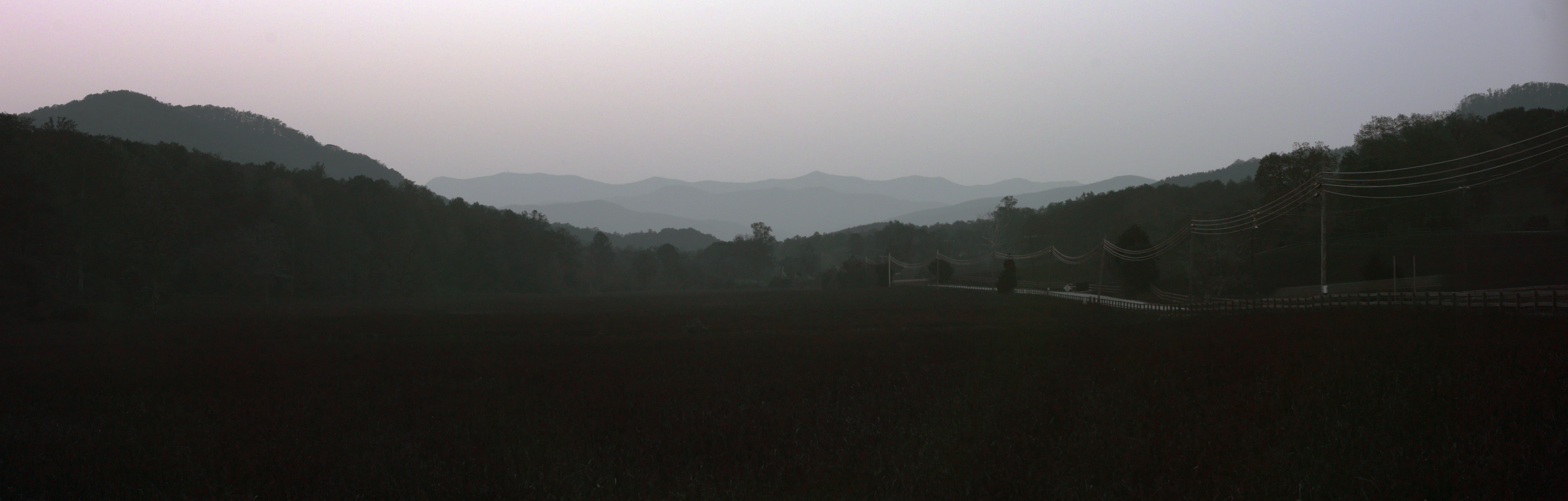
View from the Deck
View from the Deck

Not a bad view at all and a fun hike. Base of the waterfall at Chimney Rock.

Train Chase [II]

Morning light on Camp Grimes
IMG_2427 (640x480)
IMG_2187 (640x480)
IMG_2173 (640x480)
IMG_2151 (640x480)
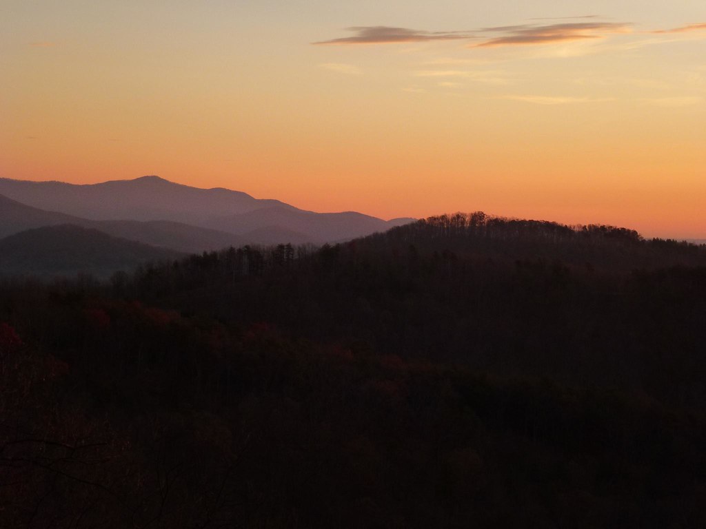
Sunrise from the Deck

Rock Railroad

August 18-2012-127-1
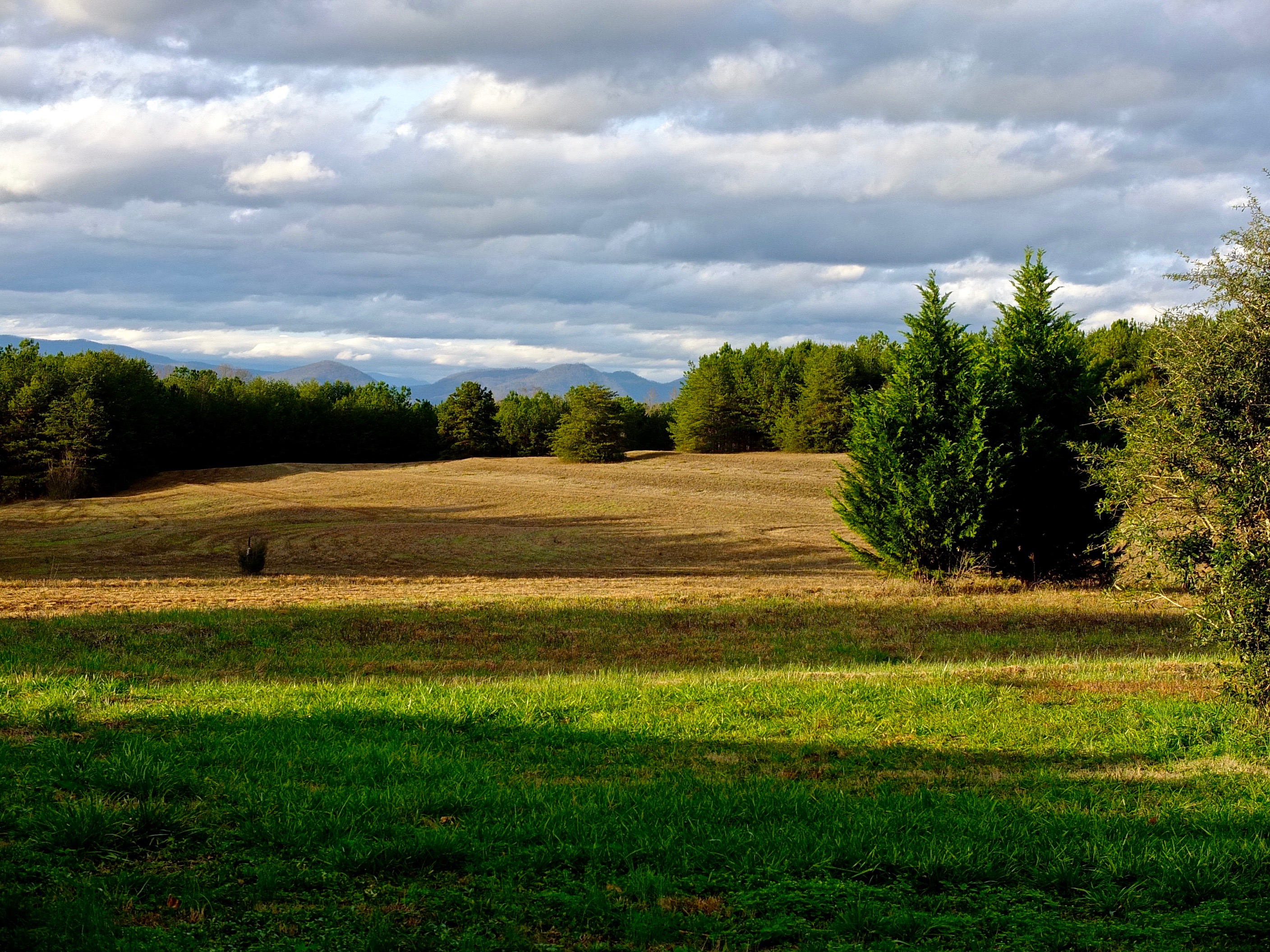
A New Day
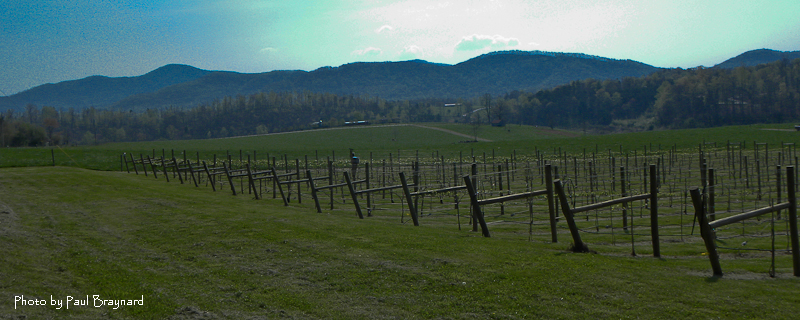
DeMariano Vineyards

Returning from the Light

August 18-2012-108-TM
IMG_2172 (640x206)
Evening at Dink Cannon Junction
Rutherfordton House
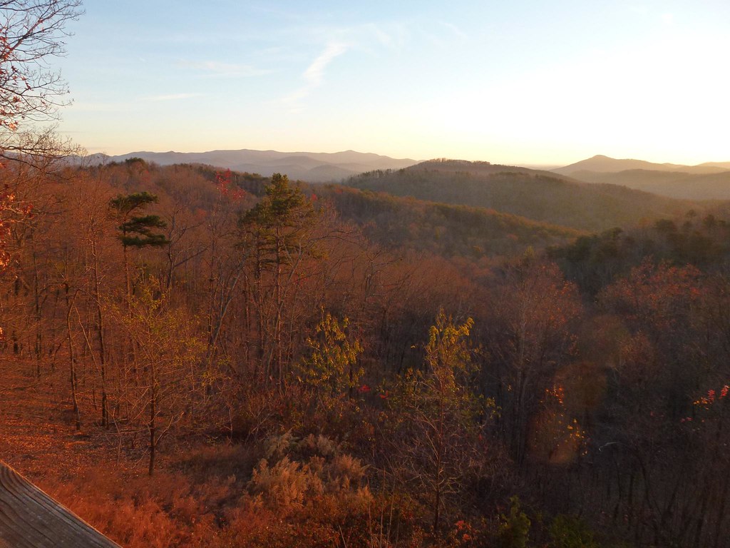
Sunrise from the Deck

DeMariano Vineyard
IMG_2517 (640x480)

Carolina Country Home
Topographic Map of Centennial Rd, Union Mills, NC, USA
Find elevation by address:

Places near Centennial Rd, Union Mills, NC, USA:
Camp Creek
Union Mills
502 Moonlight Pass
2619 Rock Rd
6558 Hudlow Rd
Willowby Run
320 Chocolate Drop Cir
214 Chocolate Drop Cir
214 Chocolate Drop Cir
135 Willowby Run
Hearthstone Ridge
520 Widd Lawing Ln
Gilkey
Oak Springs Rd, Rutherfordton, NC, USA
Gilkey
1479 Thermal City Rd
454 Gilmer Edwards Rd
1470 Thermal City Rd
1625 Thermal City Rd
1625 Thermal City Rd
Recent Searches:
- Elevation of F36W+3M, Mussoorie, Uttarakhand, India
- Elevation of Fairland Ave, Fairhope, AL, USA
- Elevation of Sunset Dr, Richmond, VA, USA
- Elevation of Grodna District, Hrodna Region, Belarus
- Elevation of Hrodna, Hrodna Region, Belarus
- Elevation of Sandia Derby Estates, Tijeras, NM, USA
- Elevation of 23 Sunrise View Ct, Tijeras, NM, USA
- Elevation of Lytham Ln, Katy, TX, USA
- Elevation of Tater Hill, Oklahoma, USA
- Elevation of NY-, Friendship, NY, USA