Elevation of Gilmer Edwards Rd, Rutherfordton, NC, USA
Location: United States > North Carolina > Rutherford County > Rutherfordton > Rutherfordton >
Longitude: -81.958676
Latitude: 35.4147109
Elevation: 309m / 1014feet
Barometric Pressure: 98KPa
Elevation Map:
Satellite Map:
Related Photos:

Nature's Hieroglyphics
Out Back

Goldenrod Crab Spider, aka 'Crouching Spider, Hid in Hibiscus'

Blueberry Cobbler Anyone??? (nom nom nom...)

Any idea of its name?

Gypsy Gold

Not a bad view at all and a fun hike. Base of the waterfall at Chimney Rock.

Train Chase [II]
IMG_2173 (640x480)
IMG_2151 (640x480)
Rock Railroad
IMG_2172 (640x206)
IMG_2517 (640x480)
IMG_2180 (640x305)
IMG_2150 (640x480)
IMG_2167 (640x480)
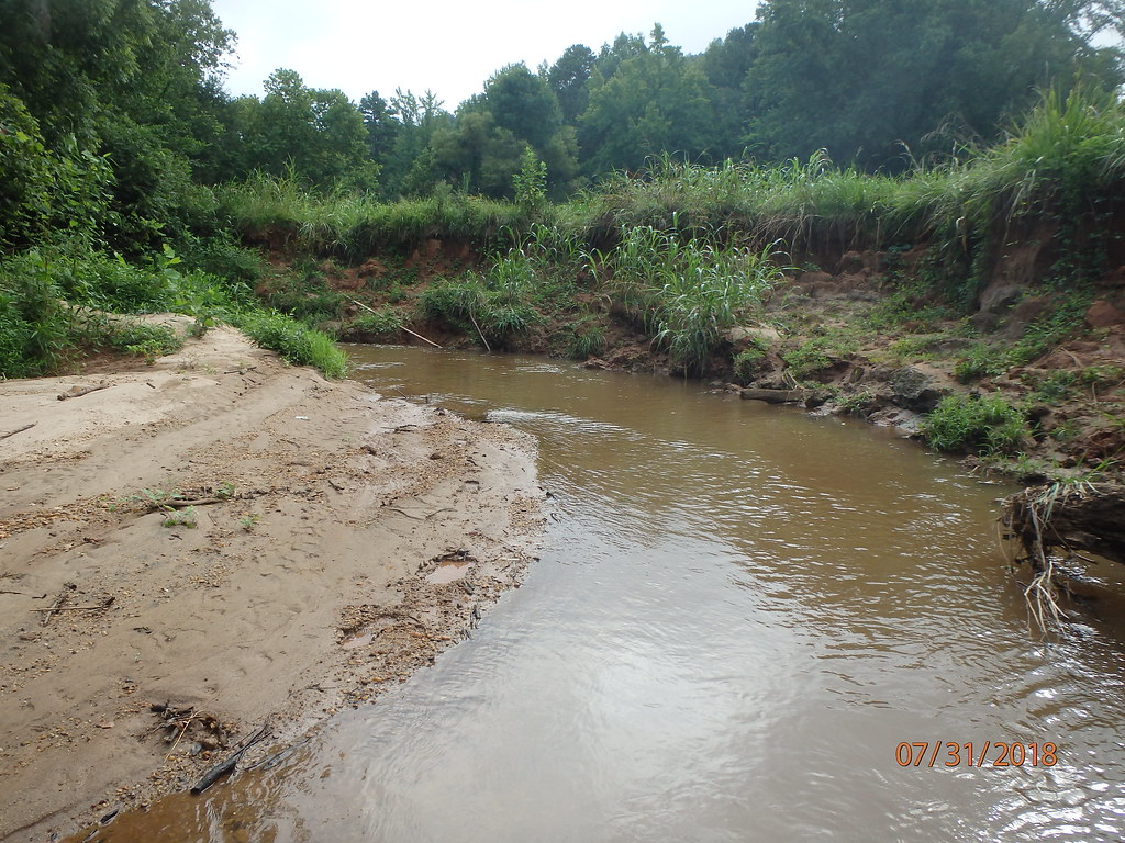
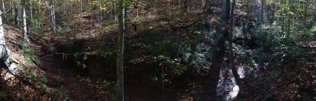
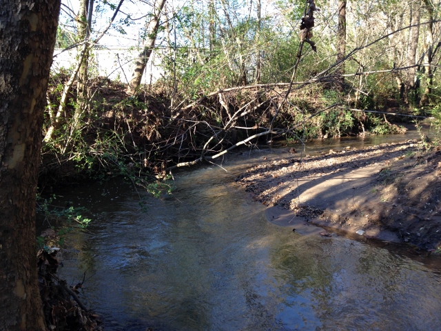
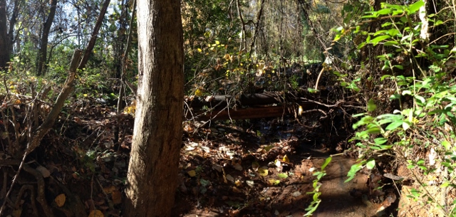
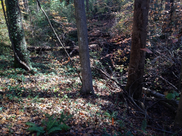
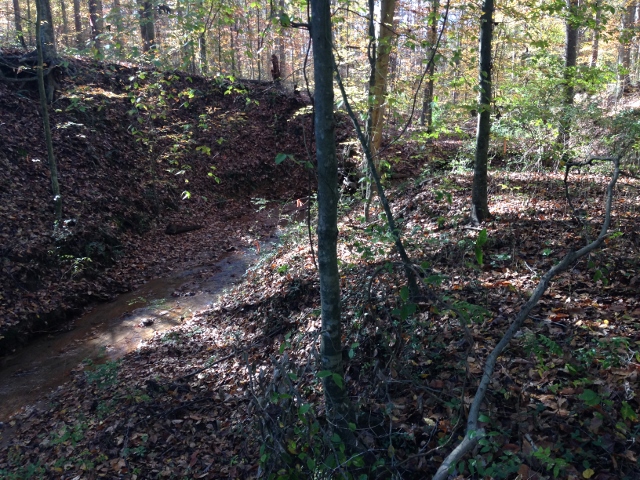
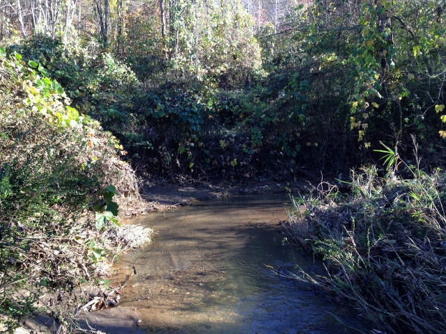
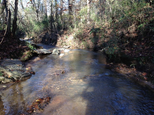
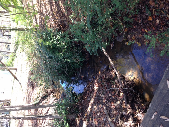
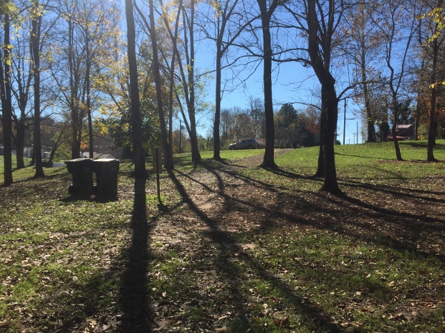
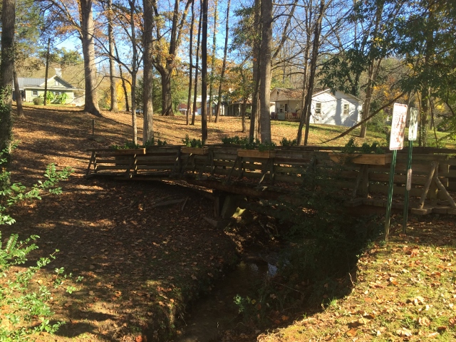
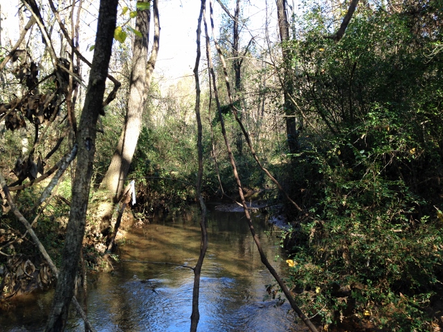
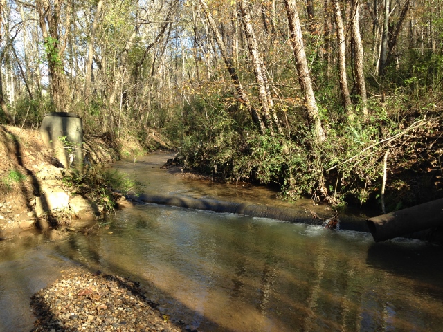
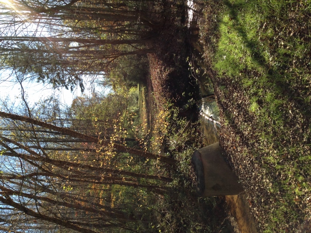
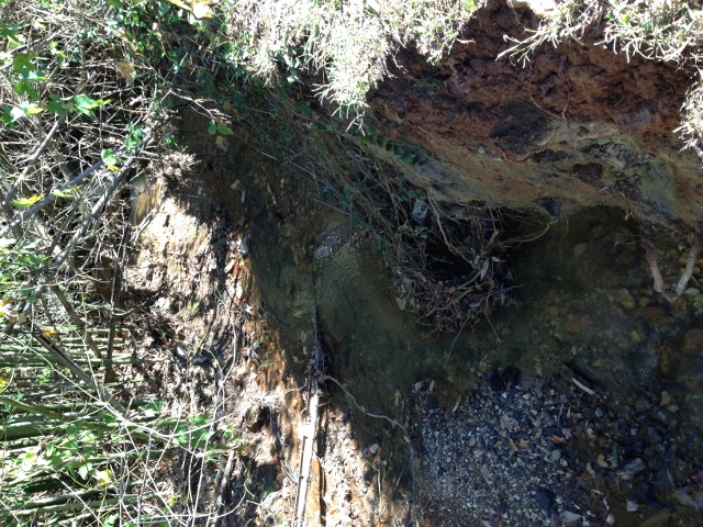
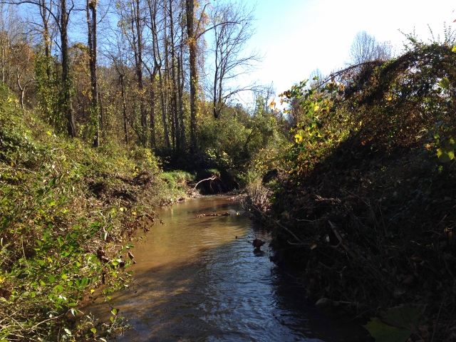
Cleghorn Creek (419)
IMG_2485 (640x480)
IMG_2500 (640x480)
IMG_2249 (640x480)
IMG_3944 (640x480)
IMG_2435 (640x480)
IMG_1561 (640x480)
IMG_2465 (640x480)
IMG_2453 (640x480)
IMG_2452 (640x480)
IMG_2408 (640x480)
IMG_2470 (640x480)
Topographic Map of Gilmer Edwards Rd, Rutherfordton, NC, USA
Find elevation by address:

Places near Gilmer Edwards Rd, Rutherfordton, NC, USA:
821 Thompson Rd
240 Ridgeland Dr
127 Sassafras Rd
355 Roper Loop Rd
348 Roper Loop Rd
Clearwater Parkway
Clearwater Creek Poa Inc
231 Westbrook Dr
391 Clearwater Pkwy
Gilkey
Oak Springs Rd, Rutherfordton, NC, USA
404 Creekside Cir #121
2619 Rock Rd
Hearthstone Ridge
Gilkey
232 Wasena Ln
336 Cinnamon Ridge
186 Hill Rd
Hill Road
Hill Road
Recent Searches:
- Elevation of Jadagoniai, Kaunas District Municipality, Lithuania
- Elevation of Pagonija rock, Kranto 7-oji g. 8"N, Kaunas, Lithuania
- Elevation of Co Rd 87, Jamestown, CO, USA
- Elevation of Tenjo, Cundinamarca, Colombia
- Elevation of Côte-des-Neiges, Montreal, QC H4A 3J6, Canada
- Elevation of Bobcat Dr, Helena, MT, USA
- Elevation of Zu den Ihlowbergen, Althüttendorf, Germany
- Elevation of Badaber, Peshawar, Khyber Pakhtunkhwa, Pakistan
- Elevation of SE Heron Loop, Lincoln City, OR, USA
- Elevation of Slanický ostrov, 01 Námestovo, Slovakia