Elevation of Rutherfordton, NC, USA
Location: United States > North Carolina > Rutherford County >
Longitude: -81.942570
Latitude: 35.3735975
Elevation: 309m / 1014feet
Barometric Pressure: 98KPa
Elevation Map:
Satellite Map:
Related Photos:

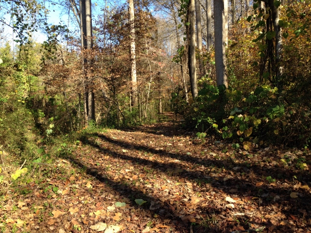
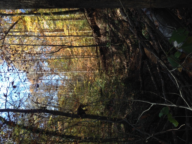
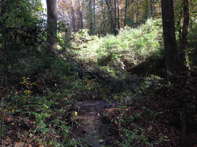
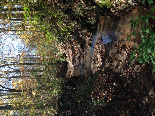
Nature's Hieroglyphics

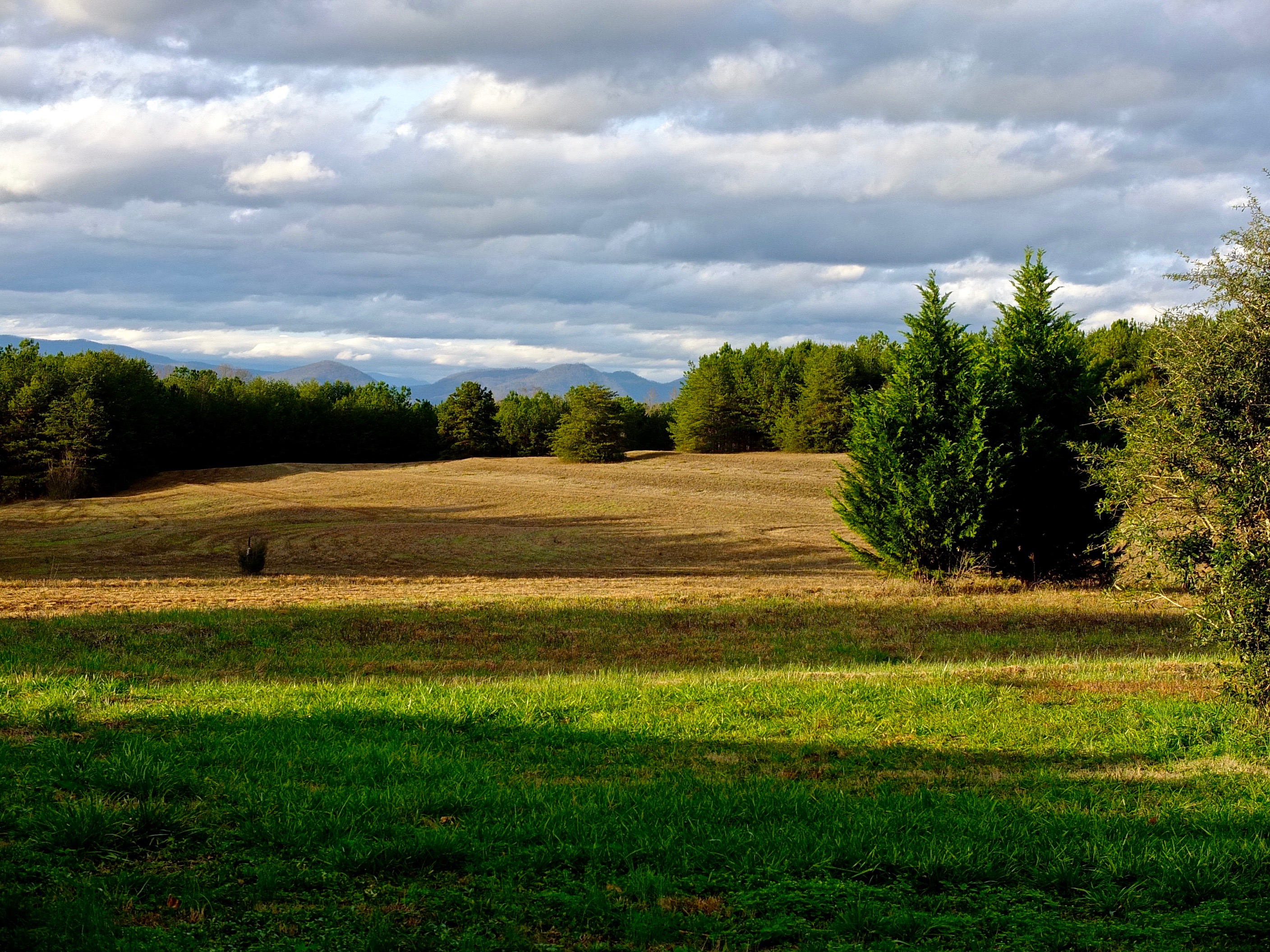
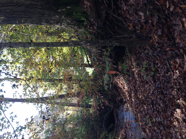
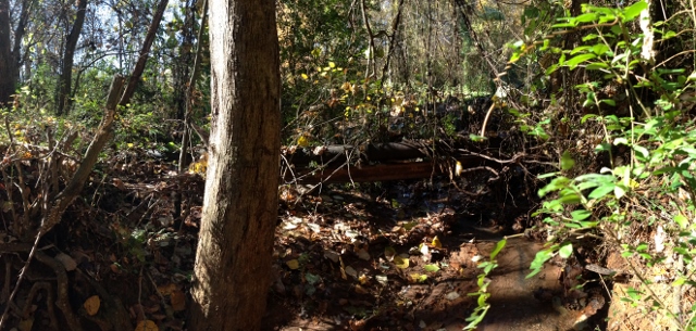
Out Back

Blueberry Cobbler Anyone??? (nom nom nom...)

Any idea of its name?

Gypsy Gold

Goldenrod Crab Spider, aka 'Crouching Spider, Hid in Hibiscus'

Buffalo Herd
IMG_2187 (640x480)
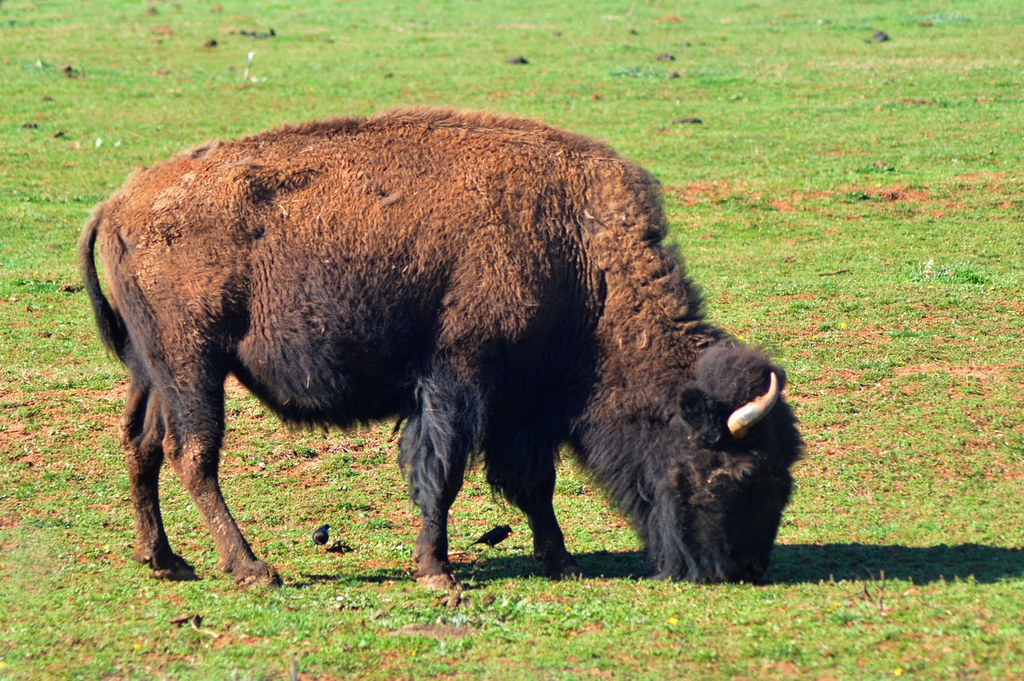
Buffalo in NC
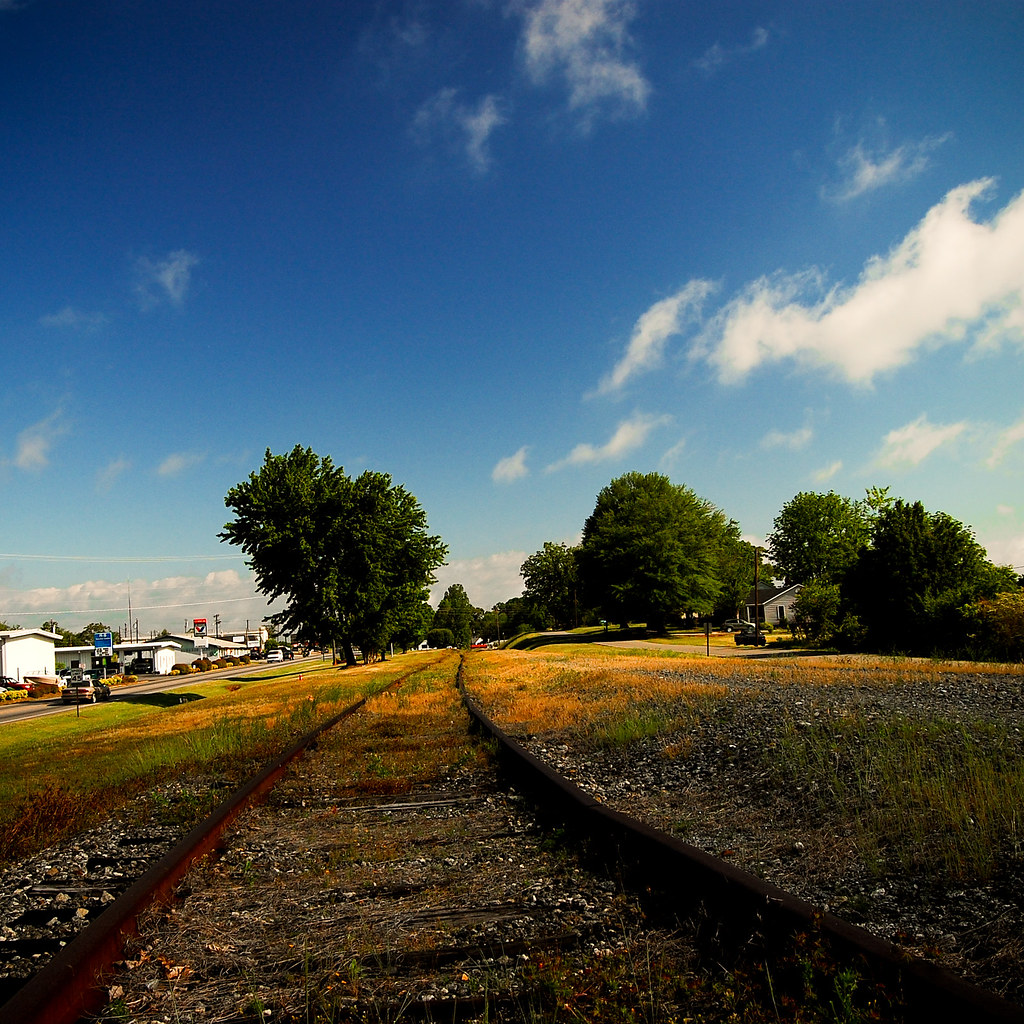
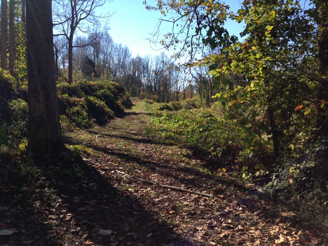
Rock Railroad

IMG_2173 (640x480)
IMG_2173 (640x480)

IMG_2151 (640x480)
IMG_2151 (640x480)
Rutherfordton House
IMG_2172 (640x206)
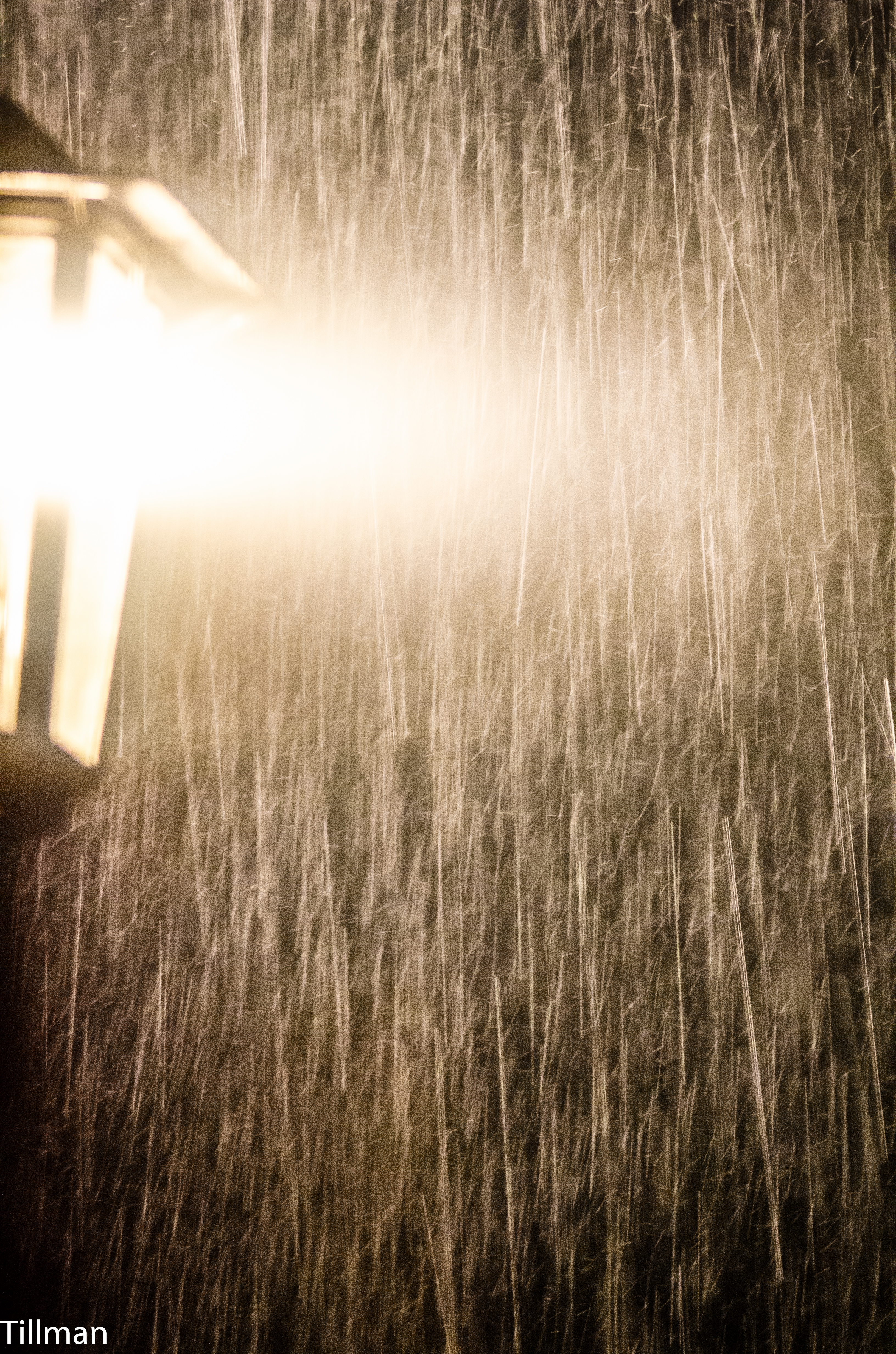
Pouring Rain

IMG_2166 (640x480)
IMG_2166 (640x480)
IMG_2161 (640x480)

IMG_2161 (640x480)
IMG_2186 (640x480)
IMG_2144 (640x480)

IMG_2170 (640x480)
IMG_2170 (640x480)
IMG_2180 (640x305)
IMG_2150 (640x480)
Topographic Map of Rutherfordton, NC, USA
Find elevation by address:

Places in Rutherfordton, NC, USA:
Places near Rutherfordton, NC, USA:
Church Street
381 Green St
174 Green St
Rutherfordton
229 N Main St
Stonecutter St, Spindale, NC, USA
Spindale
127 Sassafras Rd
288 S Ridgecrest St
240 Ridgeland Dr
118 Arizona St
208 Ledbetter Rd
231 Westbrook Dr
232 Wasena Ln
201 Ivy Dr
301 Pate Rd
Hill Road
Hill Road
Hill Road
355 Fairforest Dr
Recent Searches:
- Elevation of Luther Road, Luther Rd, Auburn, CA, USA
- Elevation of Unnamed Road, Respublika Severnaya Osetiya — Alaniya, Russia
- Elevation of Verkhny Fiagdon, North Ossetia–Alania Republic, Russia
- Elevation of F. Viola Hiway, San Rafael, Bulacan, Philippines
- Elevation of Herbage Dr, Gulfport, MS, USA
- Elevation of Lilac Cir, Haldimand, ON N3W 2G9, Canada
- Elevation of Harrod Branch Road, Harrod Branch Rd, Kentucky, USA
- Elevation of Wyndham Grand Barbados Sam Lords Castle All Inclusive Resort, End of Belair Road, Long Bay, Bridgetown Barbados
- Elevation of Iga Trl, Maggie Valley, NC, USA
- Elevation of N Co Rd 31D, Loveland, CO, USA