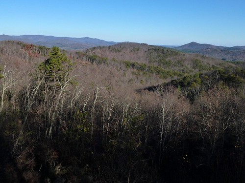
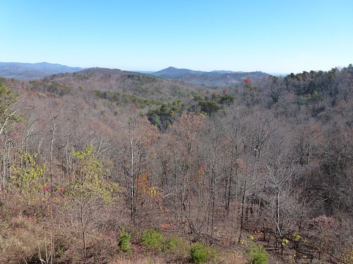
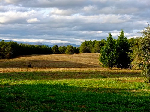
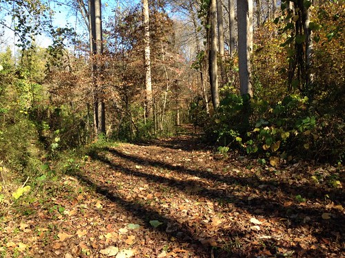
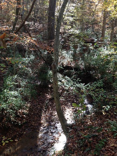
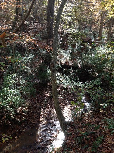
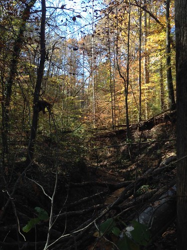
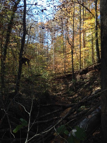
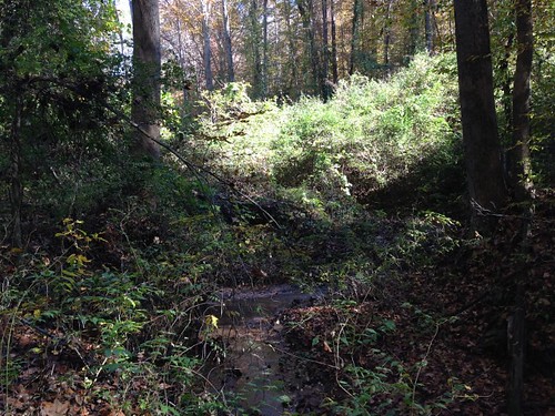
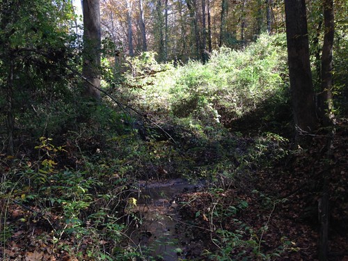
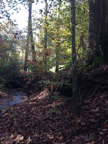
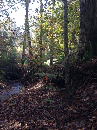
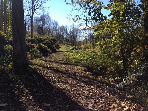
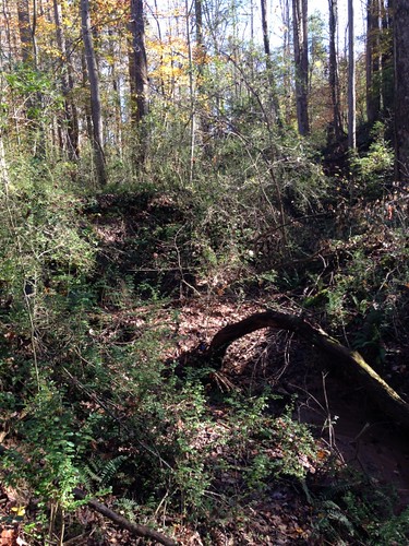
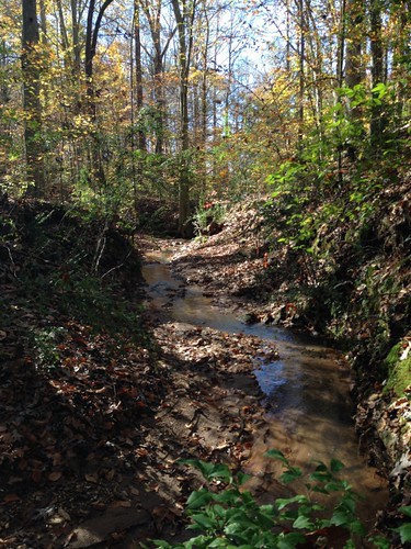
Elevation of Oak Springs Rd, Rutherfordton, NC, USA
Location: United States > North Carolina > Rutherford County > Gilkey >
Longitude: -81.978361
Latitude: 35.442944
Elevation: 329m / 1079feet
Barometric Pressure: 97KPa
Related Photos:
Topographic Map of Oak Springs Rd, Rutherfordton, NC, USA
Find elevation by address:

Places near Oak Springs Rd, Rutherfordton, NC, USA:
Gilkey
Gilkey
135 Willowby Run
Hearthstone Ridge
214 Chocolate Drop Cir
214 Chocolate Drop Cir
320 Chocolate Drop Cir
520 Widd Lawing Ln
Willowby Run
502 Moonlight Pass
336 Cinnamon Ridge
348 Roper Loop Rd
1142 Clearwater Pkwy
1152 Clearwater Pkwy
355 Roper Loop Rd
454 Gilmer Edwards Rd
404 Creekside Cir #121
821 Thompson Rd
2619 Rock Rd
391 Clearwater Pkwy
Recent Searches:
- Elevation of S Layton Cir W, Layton, UT, USA
- Elevation of F36W+3M, Mussoorie, Uttarakhand, India
- Elevation of Fairland Ave, Fairhope, AL, USA
- Elevation of Sunset Dr, Richmond, VA, USA
- Elevation of Grodna District, Hrodna Region, Belarus
- Elevation of Hrodna, Hrodna Region, Belarus
- Elevation of Sandia Derby Estates, Tijeras, NM, USA
- Elevation of 23 Sunrise View Ct, Tijeras, NM, USA
- Elevation of Lytham Ln, Katy, TX, USA
- Elevation of Tater Hill, Oklahoma, USA


