Elevation of Gilkey, NC, USA
Location: United States > North Carolina > Rutherford County >
Longitude: -81.986206
Latitude: 35.4418676
Elevation: 320m / 1050feet
Barometric Pressure: 98KPa
Elevation Map:
Satellite Map:
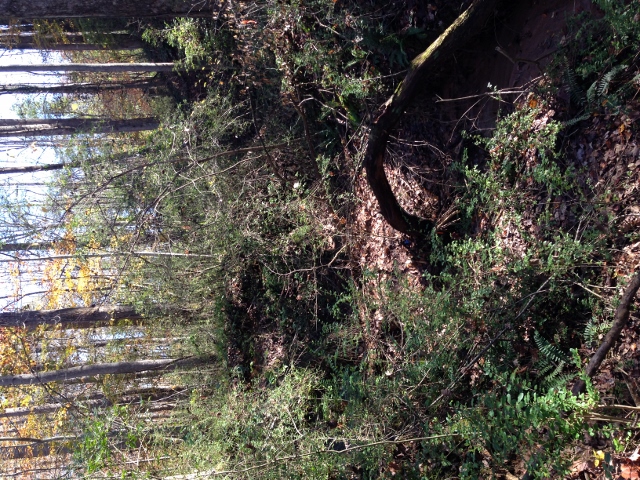
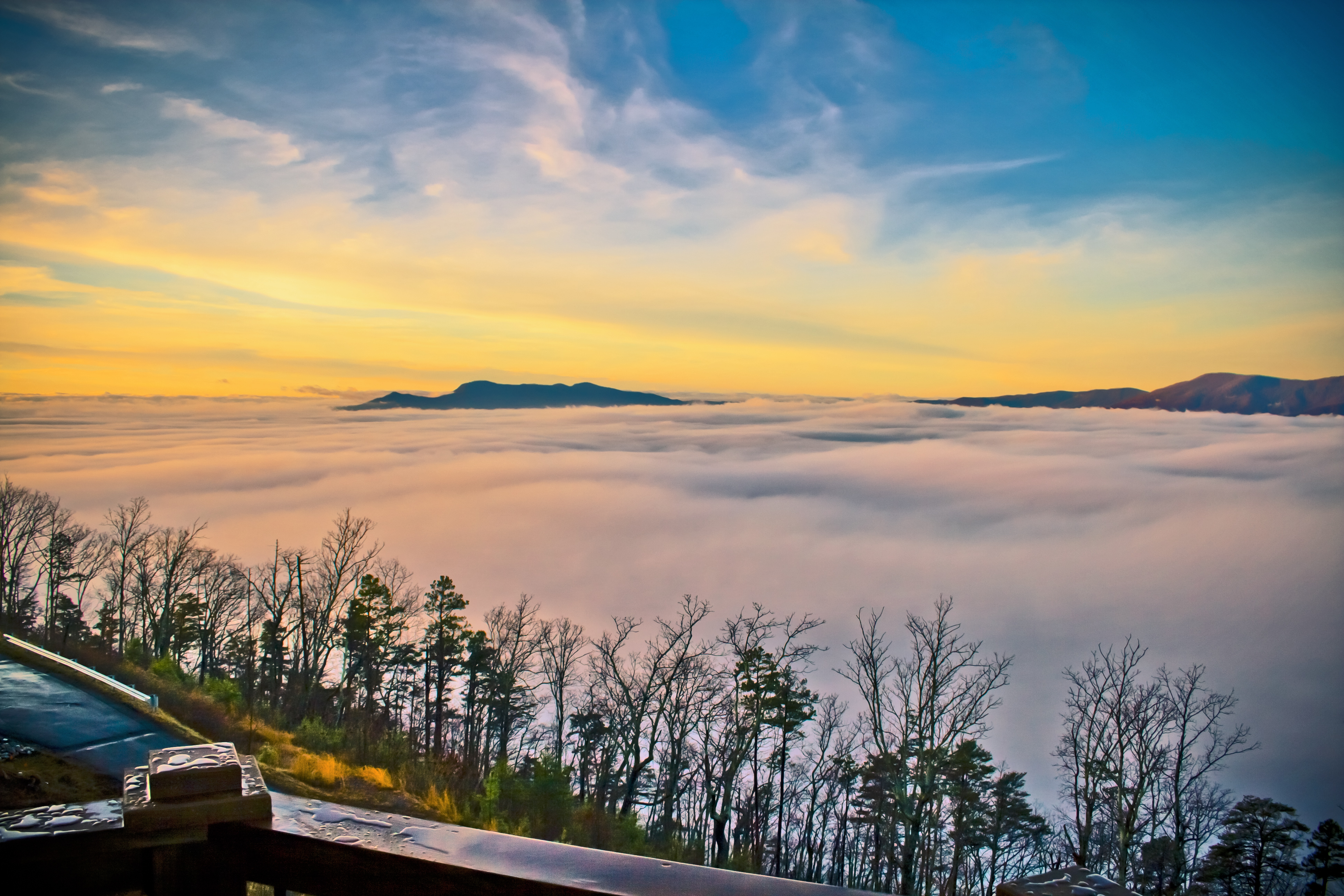
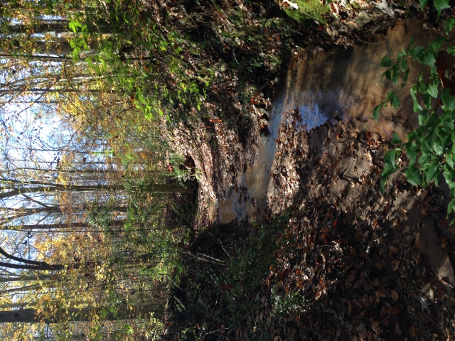
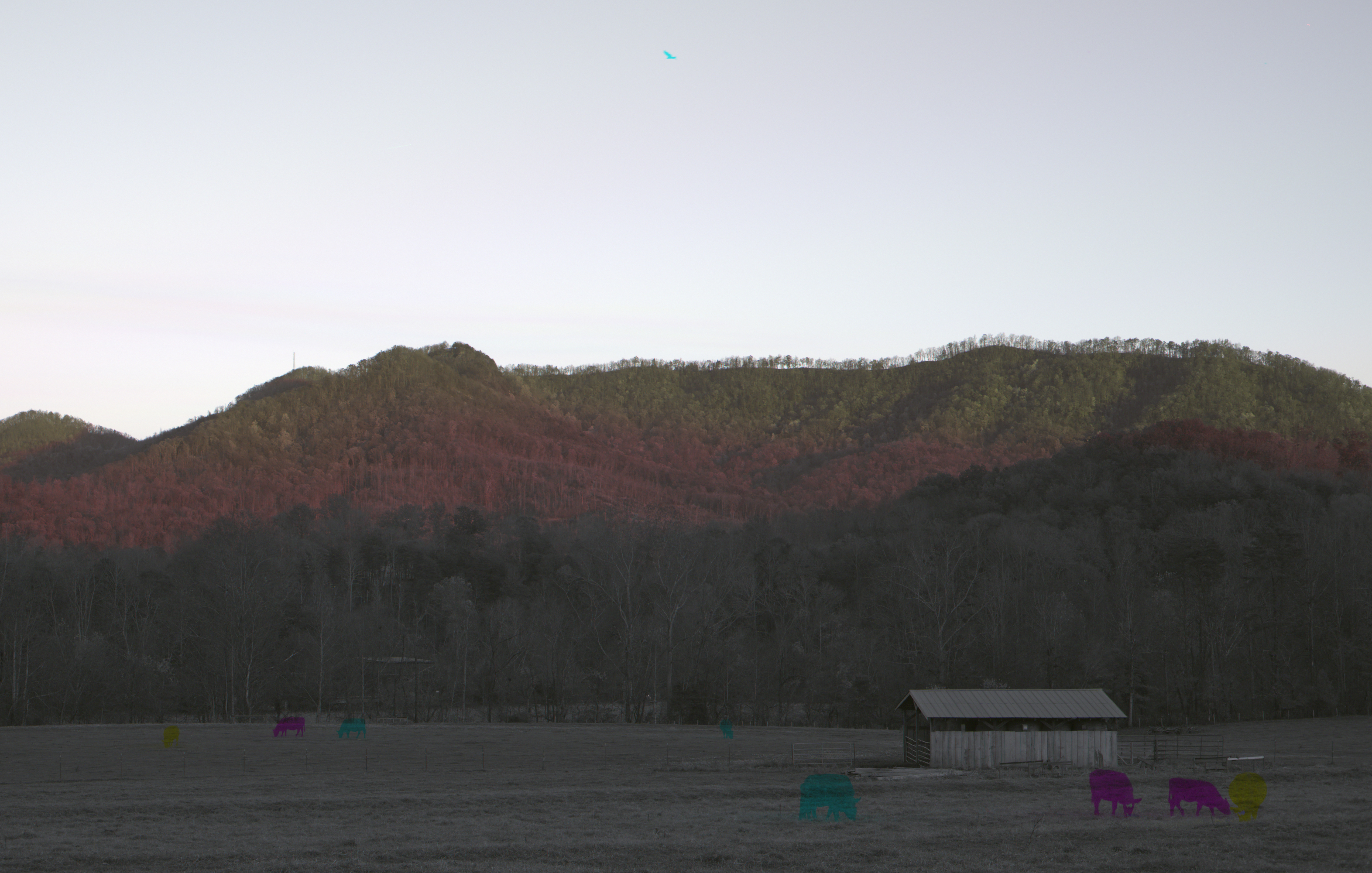
Related Photos:
Out Back

Keep Coming Back
Puerta Del Cielo | Sunset

Gypsy Gold
Love in the Remains

Not a bad view at all and a fun hike. Base of the waterfall at Chimney Rock.

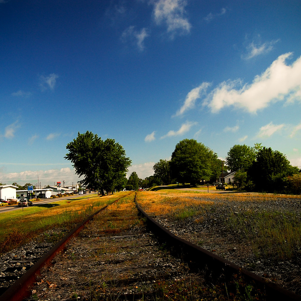
Train Chase [II]
IMG_2187 (640x480)
Rock Railroad

IMG_2173 (640x480)
IMG_2173 (640x480)

IMG_2151 (640x480)
IMG_2151 (640x480)
Rutherfordton House
IMG_2172 (640x206)

Little towns of USA #tiltshift #tiltshiftgen #northcarolina #chimmeyrock

IMG_2166 (640x480)
IMG_2166 (640x480)
IMG_2161 (640x480)

IMG_2161 (640x480)
IMG_2186 (640x480)
IMG_2144 (640x480)
Long Gone and Moved On

IMG_2170 (640x480)
IMG_2170 (640x480)
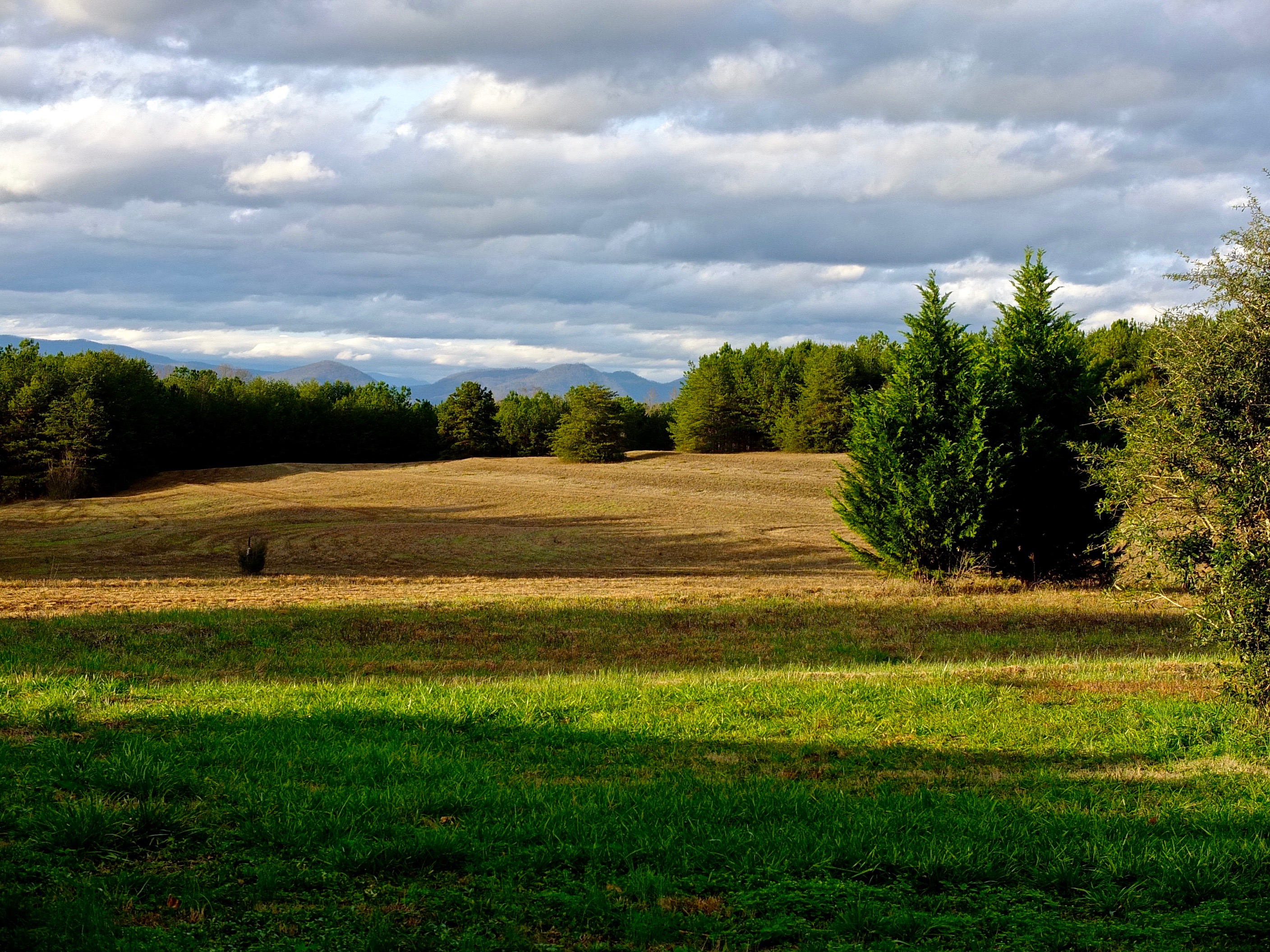
The Grazing of the Grey
Topographic Map of Gilkey, NC, USA
Find elevation by address:

Places in Gilkey, NC, USA:
Places near Gilkey, NC, USA:
Oak Springs Rd, Rutherfordton, NC, USA
Gilkey
336 Cinnamon Ridge
135 Willowby Run
1142 Clearwater Pkwy
1152 Clearwater Pkwy
214 Chocolate Drop Cir
520 Widd Lawing Ln
214 Chocolate Drop Cir
Hearthstone Ridge
320 Chocolate Drop Cir
Willowby Run
348 Roper Loop Rd
355 Roper Loop Rd
502 Moonlight Pass
404 Creekside Cir #121
391 Clearwater Pkwy
Clearwater Creek Poa Inc
821 Thompson Rd
454 Gilmer Edwards Rd
Recent Searches:
- Elevation of Woodland Oak Pl, Thousand Oaks, CA, USA
- Elevation of Brownsdale Rd, Renfrew, PA, USA
- Elevation of Corcoran Ln, Suffolk, VA, USA
- Elevation of Mamala II, Sariaya, Quezon, Philippines
- Elevation of Sarangdanda, Nepal
- Elevation of 7 Waterfall Way, Tomball, TX, USA
- Elevation of SW 57th Ave, Portland, OR, USA
- Elevation of Crocker Dr, Vacaville, CA, USA
- Elevation of Pu Ngaol Community Meeting Hall, HWHM+3X7, Krong Saen Monourom, Cambodia
- Elevation of Royal Ontario Museum, Queens Park, Toronto, ON M5S 2C6, Canada