Elevation of Camp Creek, NC, USA
Location: United States > North Carolina > Rutherford County >
Longitude: -81.931657
Latitude: 35.4926533
Elevation: 296m / 971feet
Barometric Pressure: 98KPa
Elevation Map:
Satellite Map:
Related Photos:
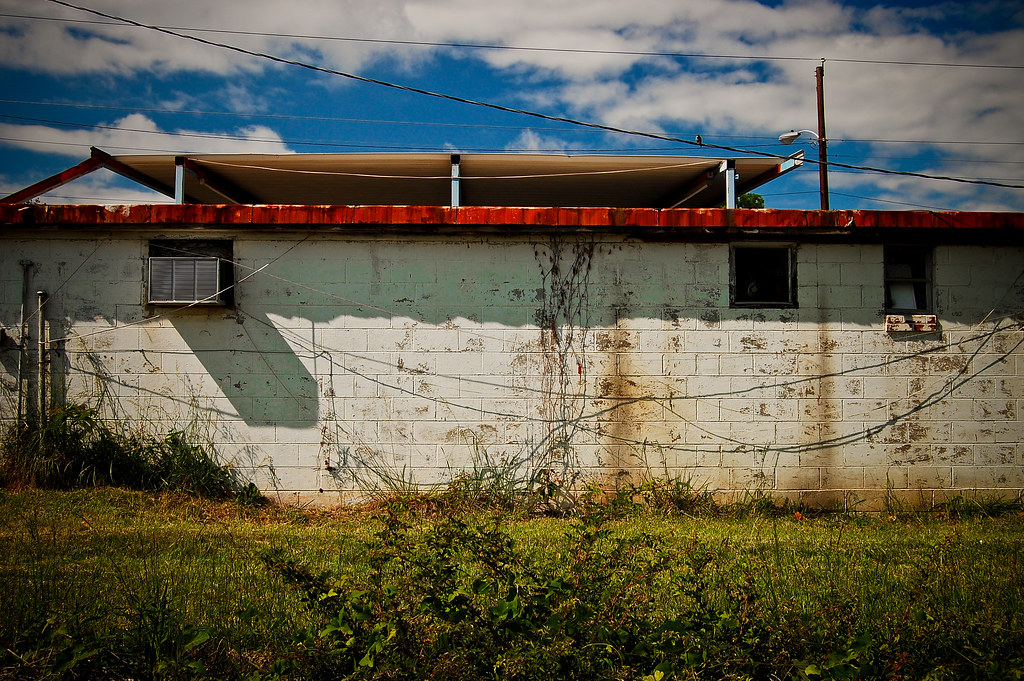
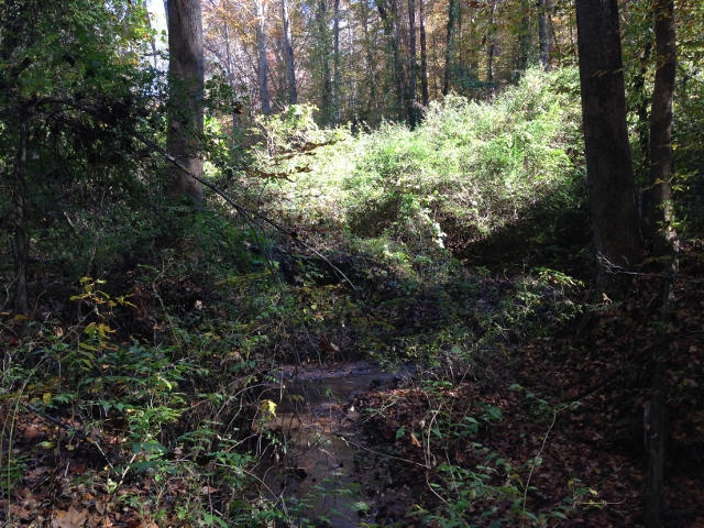
Out Back

Gypsy Gold
After Dinner View

Not a bad view at all and a fun hike. Base of the waterfall at Chimney Rock.
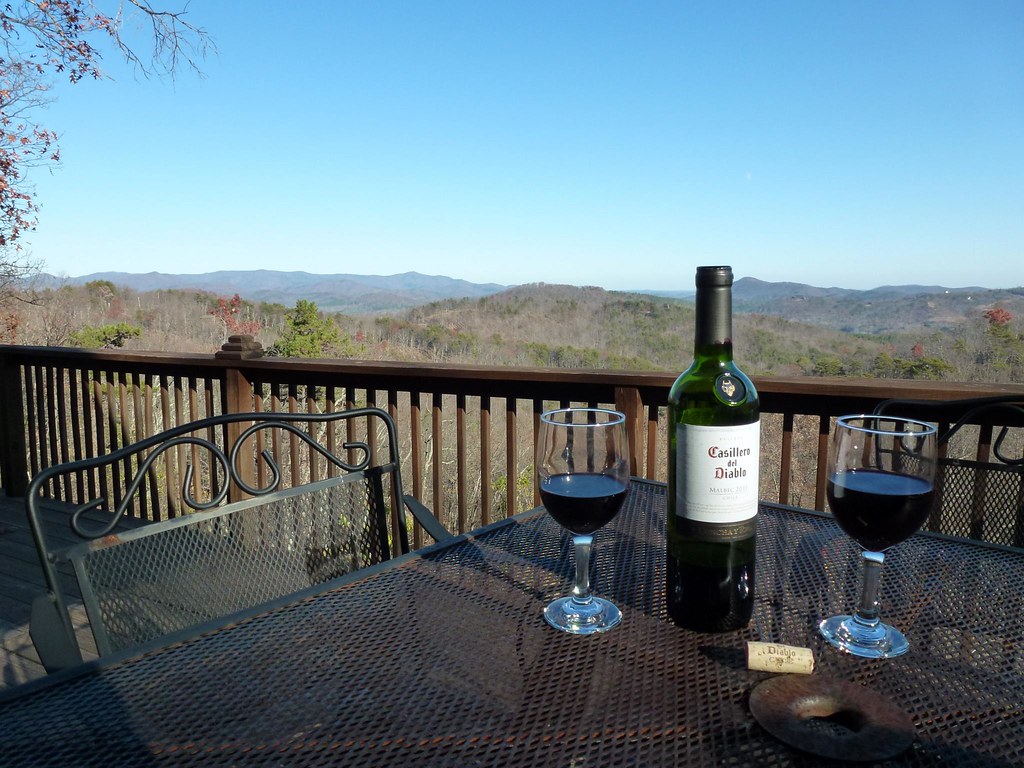
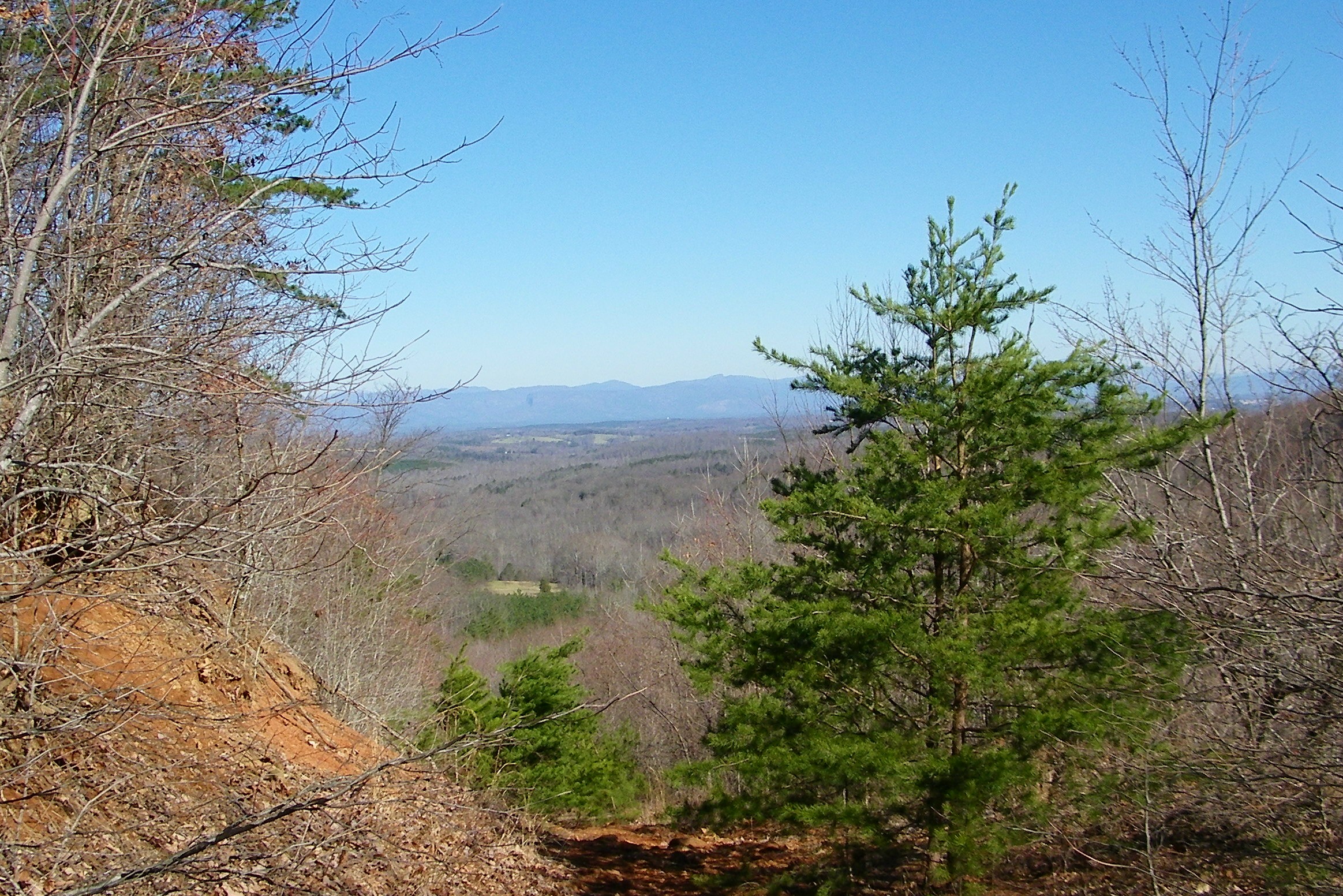
View from the Deck
View from the Deck
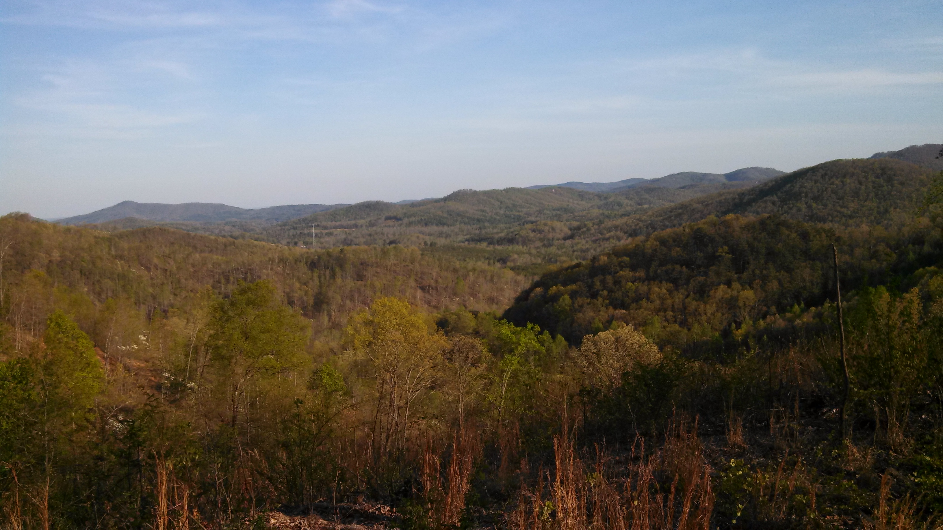
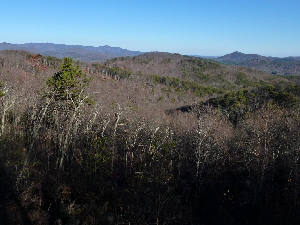
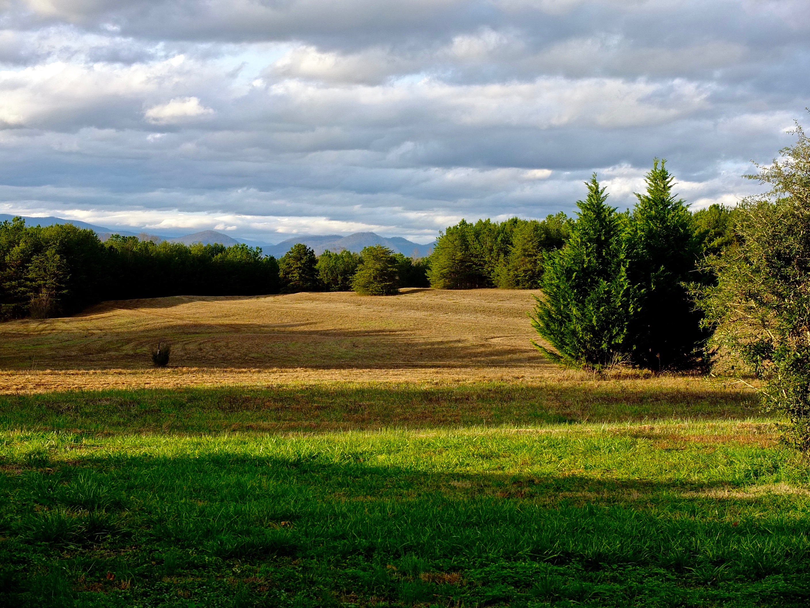
South Mountain Game Lands
Lee & I out scouting for turkey season and for this year's upcoming deer season

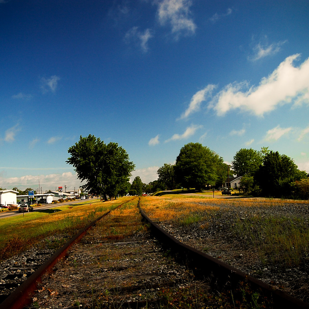
Train Chase [II]
IMG_2187 (640x480)
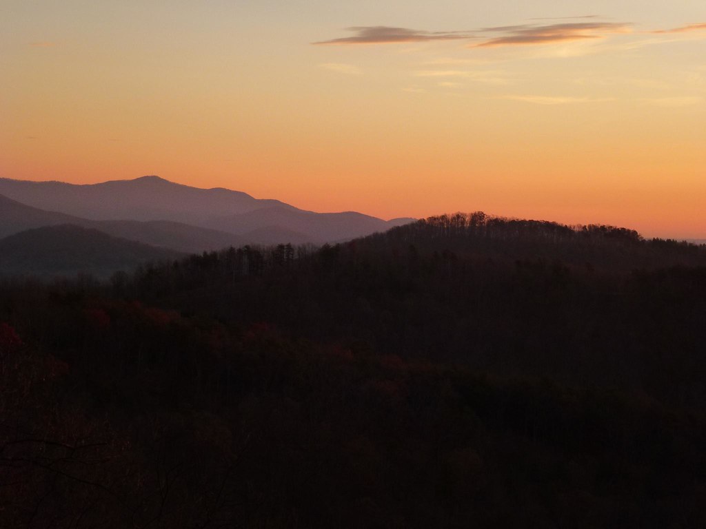
Sunrise from the Deck
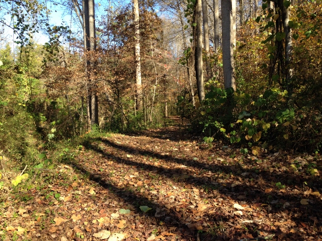
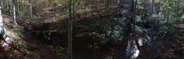
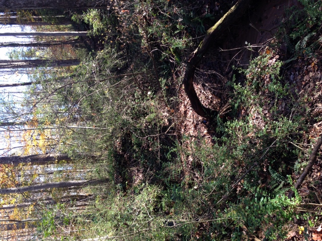
Rock Railroad

IMG_2173 (640x480)
IMG_2173 (640x480)

IMG_2151 (640x480)
IMG_2151 (640x480)
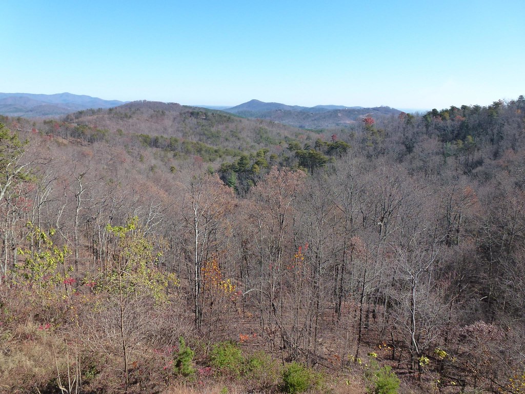
A New Day
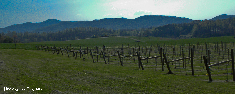
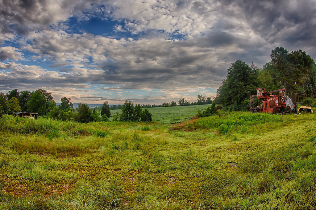
DeMariano Vineyards
Rutherfordton House
IMG_2172 (640x206)
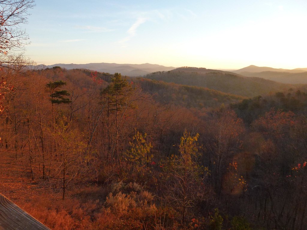
Sunrise from the Deck
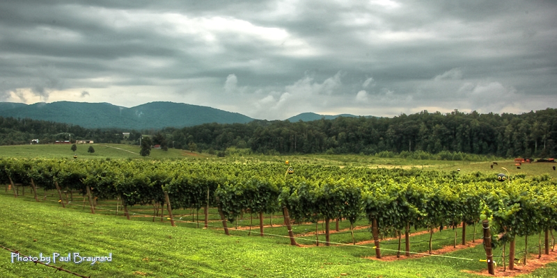
DeMariano Vineyard

IMG_2166 (640x480)
IMG_2166 (640x480)
IMG_2161 (640x480)

IMG_2161 (640x480)
IMG_2186 (640x480)
IMG_2144 (640x480)
Topographic Map of Camp Creek, NC, USA
Find elevation by address:

Places in Camp Creek, NC, USA:
Places near Camp Creek, NC, USA:
1904 Centennial Rd
Union Mills
6558 Hudlow Rd
502 Moonlight Pass
Willowby Run
2619 Rock Rd
320 Chocolate Drop Cir
214 Chocolate Drop Cir
214 Chocolate Drop Cir
135 Willowby Run
520 Widd Lawing Ln
Hearthstone Ridge
Gilkey
Oak Springs Rd, Rutherfordton, NC, USA
1479 Thermal City Rd
1470 Thermal City Rd
Gilkey
1625 Thermal City Rd
1625 Thermal City Rd
1625 Thermal City Rd
Recent Searches:
- Elevation of Groblershoop, South Africa
- Elevation of Power Generation Enterprises | Industrial Diesel Generators, Oak Ave, Canyon Country, CA, USA
- Elevation of Chesaw Rd, Oroville, WA, USA
- Elevation of N, Mt Pleasant, UT, USA
- Elevation of 6 Rue Jules Ferry, Beausoleil, France
- Elevation of Sattva Horizon, 4JC6+G9P, Vinayak Nagar, Kattigenahalli, Bengaluru, Karnataka, India
- Elevation of Great Brook Sports, Gold Star Hwy, Groton, CT, USA
- Elevation of 10 Mountain Laurels Dr, Nashua, NH, USA
- Elevation of 16 Gilboa Ln, Nashua, NH, USA
- Elevation of Laurel Rd, Townsend, TN, USA