Elevation of Cecil Rd, Mt Sterling, KY, USA
Location: United States > Kentucky > Montgomery County > Mount Sterling >
Longitude: -83.969665
Latitude: 38.1577772
Elevation: 266m / 873feet
Barometric Pressure: 98KPa
Elevation Map:
Satellite Map:
Related Photos:

Patent Medicine- Kentucky, Mount Sterling, Syrup of Figs (16,329)

Second Great Awakening arrives in Kentucky

Chesapeake & Ohio Railway, Kentucky, Mount Sterling (13,502)

Chesapeake & Ohio Railway, Kentucky, Mount Sterling (13,502b)

Rolling Thunder

Fallin for You
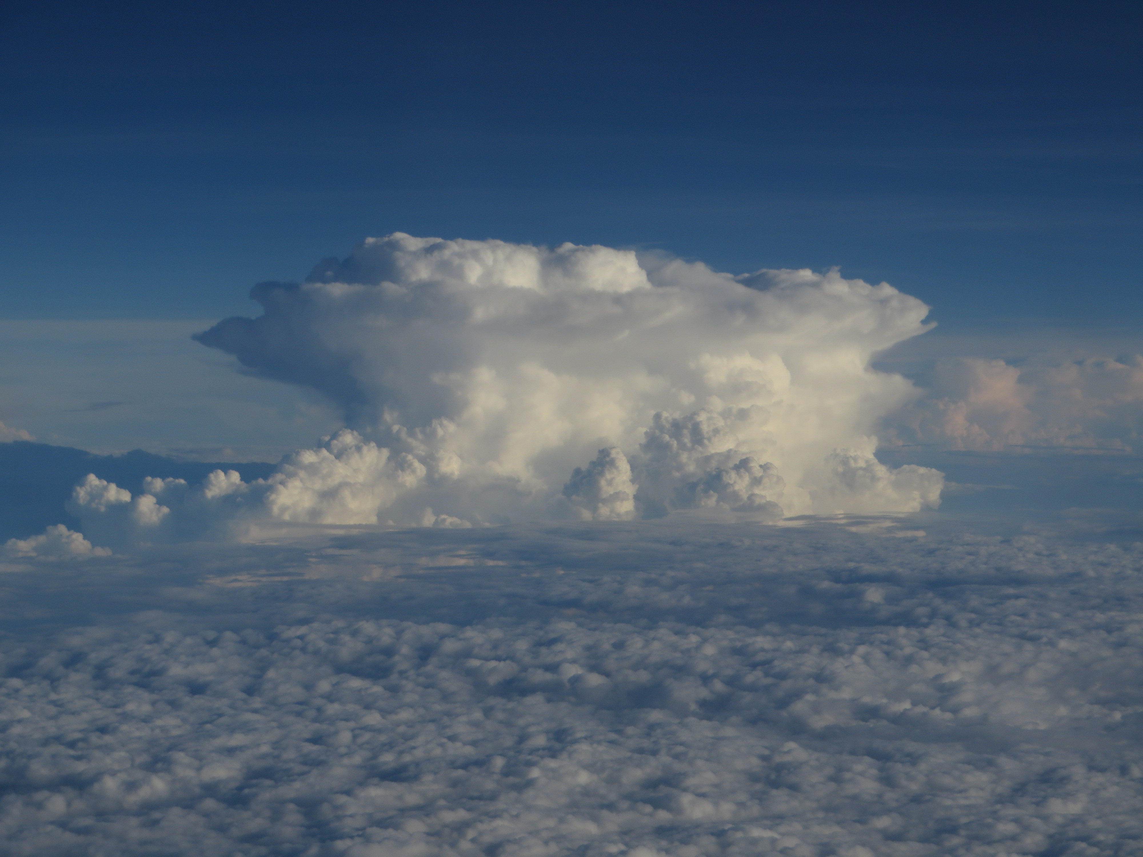
Thunderstorms Over Eastern Kentucky

Thunderstorms Over Eastern Kentucky

Landscape Just West of Mount Sterling, Kentucky

Landscape — Owingsville Vicinity, Bath County, Kentucky

Edward Boone's Grave

Landscape — Owingsville Vicinity, Bath County, Kentucky

Edward Boone's Grave

Bourbon County Kentucky Farm

Home.

Beautiful Day in Kentucky :-)

Pretty clouds, pretty grape vines, pretty corn.

Passing Landscape near Morehead

What used to be...

There is a crook in my path

Carolyn's farm

Carolyn's farm
Topographic Map of Cecil Rd, Mt Sterling, KY, USA
Find elevation by address:

Places near Cecil Rd, Mt Sterling, KY, USA:
Sharpsburg
Upper Sharpsburg Rd, Carlisle, KY, USA
406 Natalie Dr
11 Maysville Ave
Ashlyn Drive
Five Forks Hill
1222 Osborne Rd
Mount Sterling
Winchester Rd, Mt Sterling, KY, USA
Rolling Hills Road
Indian Mound Drive
131 Lakeview Dr
131 Lakeview Dr
85 Laranda Ct
Camargo Rd, Mt Sterling, KY, USA
Bethel Ridge Rd, Sharpsburg, KY, USA
Prewitt Pike, Mt Sterling, KY, USA
Thatchers Mill Rd, Paris, KY, USA
Mt Sterling Rd, Winchester, KY, USA
Montgomery County
Recent Searches:
- Elevation of Vista Blvd, Sparks, NV, USA
- Elevation of 15th Ave SE, St. Petersburg, FL, USA
- Elevation of Beall Road, Beall Rd, Florida, USA
- Elevation of Leguwa, Nepal
- Elevation of County Rd, Enterprise, AL, USA
- Elevation of Kolchuginsky District, Vladimir Oblast, Russia
- Elevation of Shustino, Vladimir Oblast, Russia
- Elevation of Lampiasi St, Sarasota, FL, USA
- Elevation of Elwyn Dr, Roanoke Rapids, NC, USA
- Elevation of Congressional Dr, Stevensville, MD, USA