Elevation of Bethel Ridge Rd, Sharpsburg, KY, USA
Location: United States > Kentucky > Bath County > Sharpsburg >
Longitude: -83.866246
Latitude: 38.2472694
Elevation: 293m / 961feet
Barometric Pressure: 98KPa
Elevation Map:
Satellite Map:
Related Photos:
Front Porch View
Fallin for You
Edward Boone's Grave
Edward Boone's Grave
There is a crook in my path
Southbound Broats

Northbound Grinding up the hill out of the Licking River valley at Pleasant Valley, Kentucky
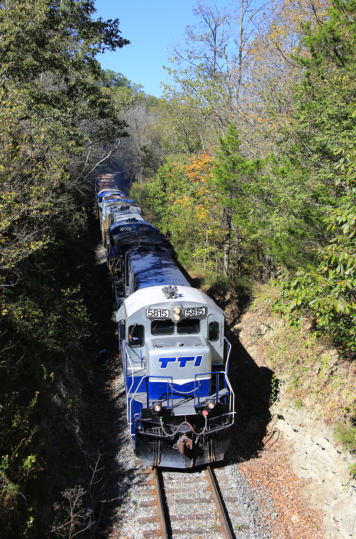
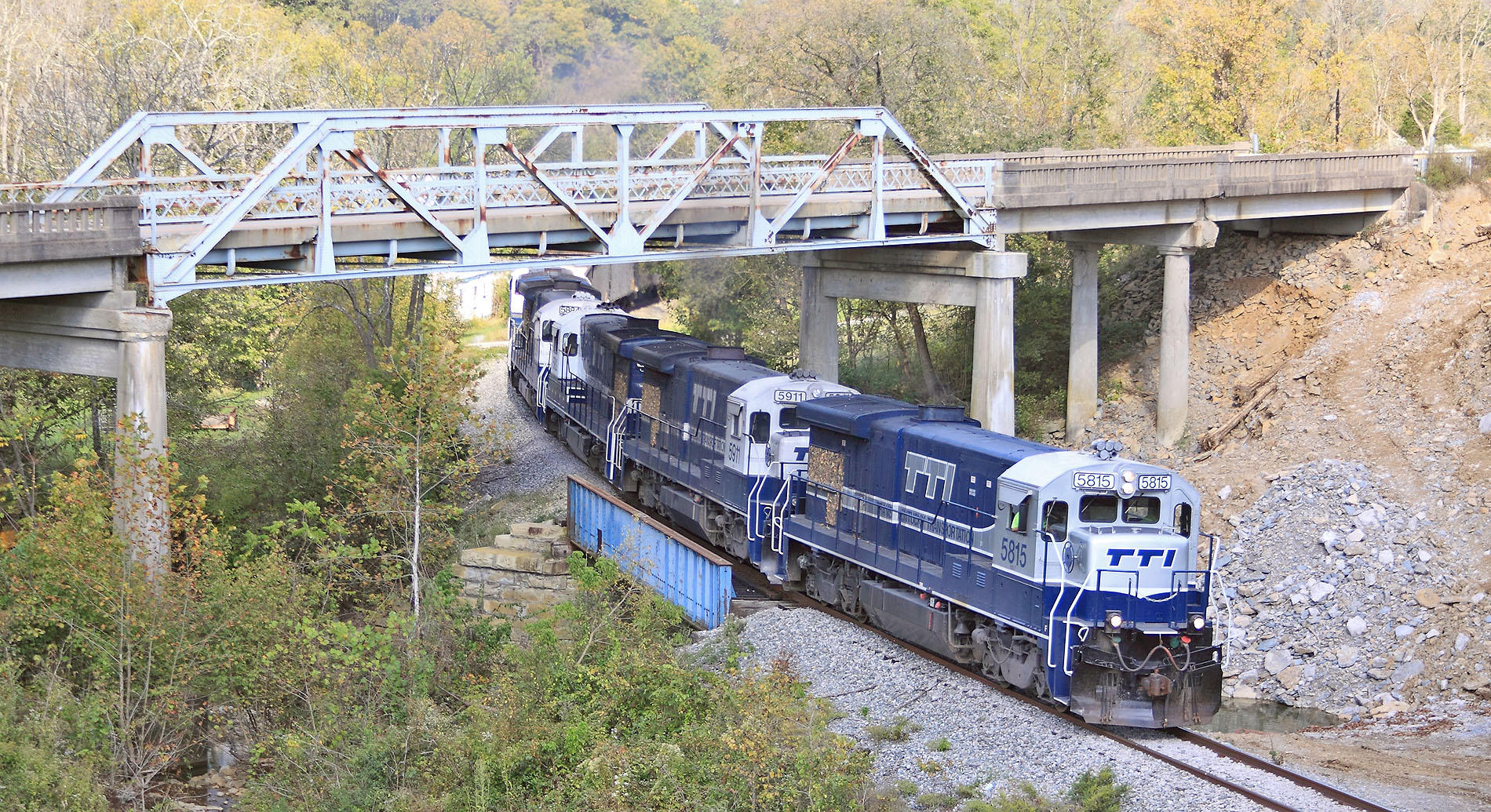
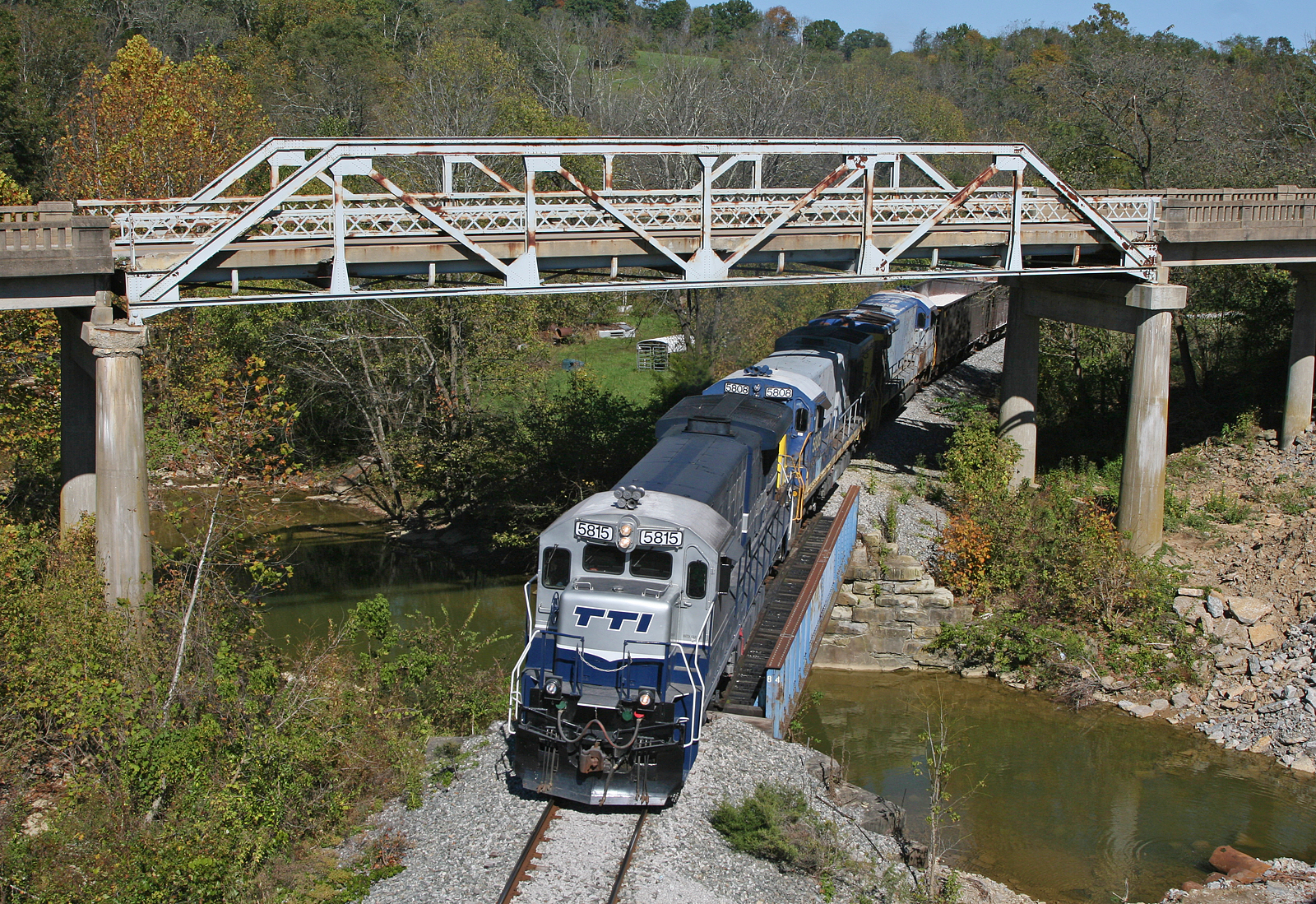
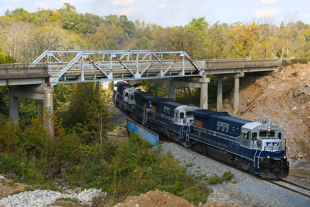
TTI NB Coal @ Pleasant Valley
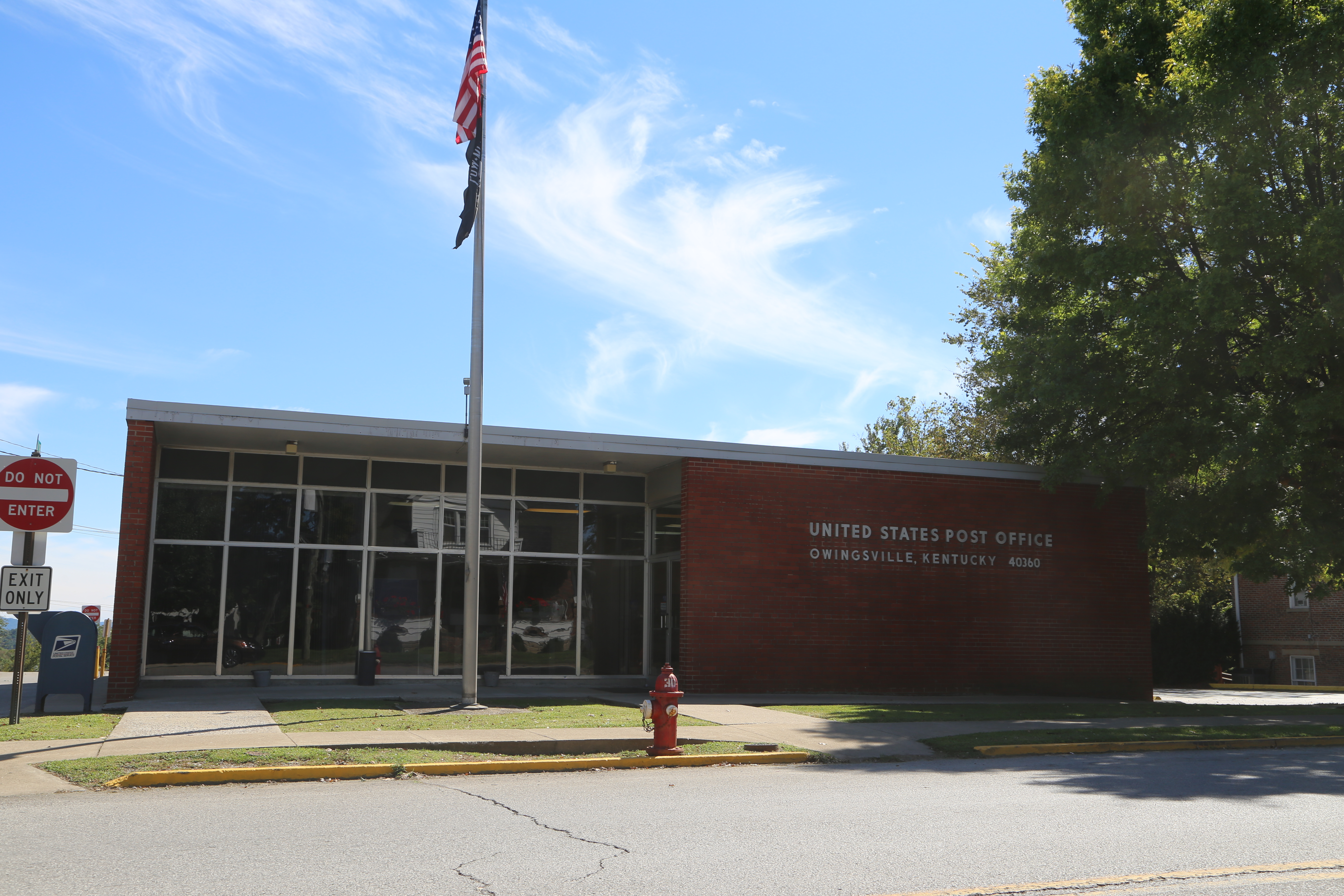
Owingsville Kentucky, Post Office, 40360, Bath County KY
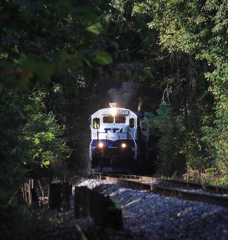
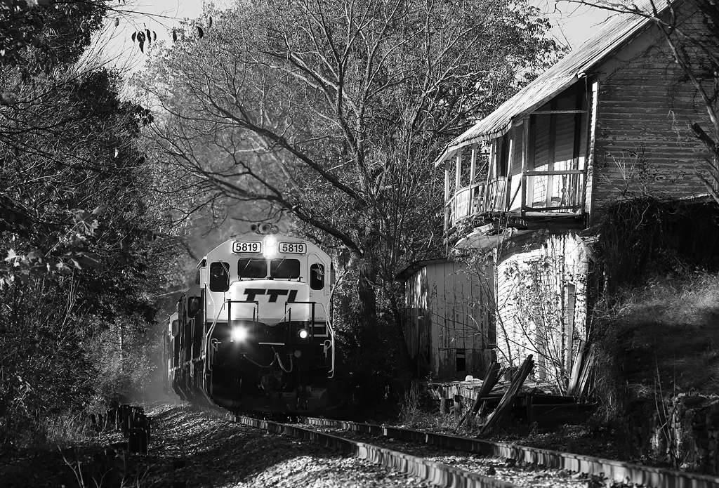
TTI 5815 emerges from a tree tunnel and finds a sliver of sunlight at Pleasant Valley

The morning sun is just starting to filter into the valley as a Northbound climbs away from the Licking River at Pleasant Valley , Kentucky
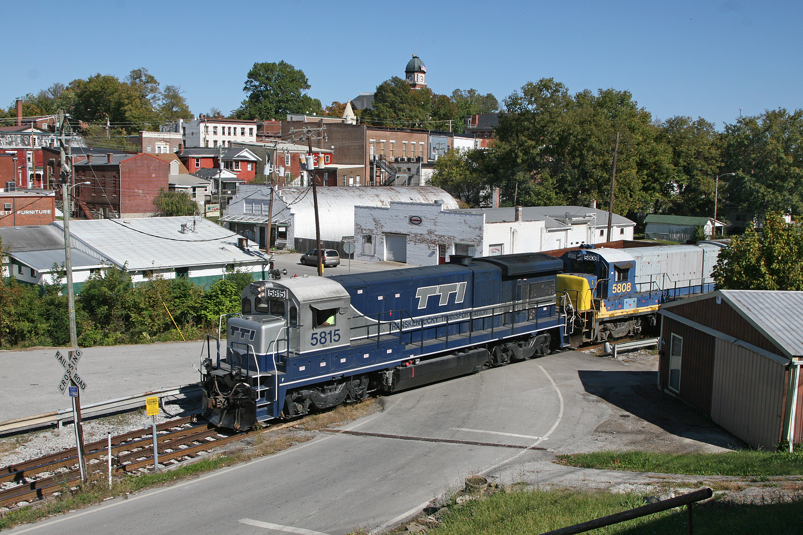
A Southbound eases through the back streets of Carlisle
Meyers, Kentucky
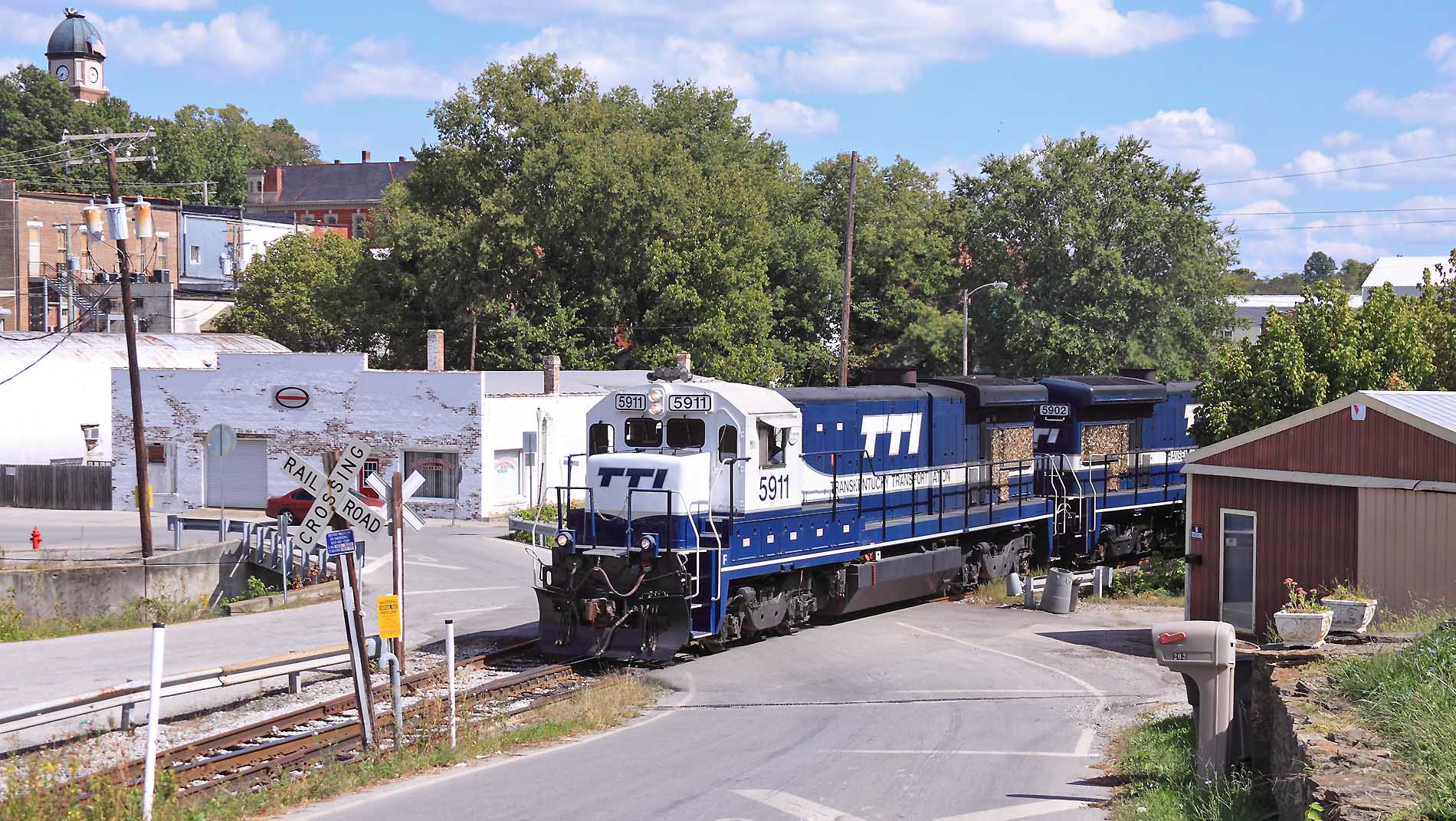
Northbound passing the Carlisle firehouse
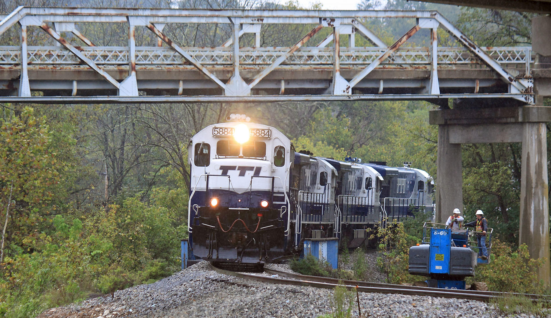
A Southbound creeps through the bridge construction site at Meyers. The old US 32 bridge will come down in November Meyers, Kentucky
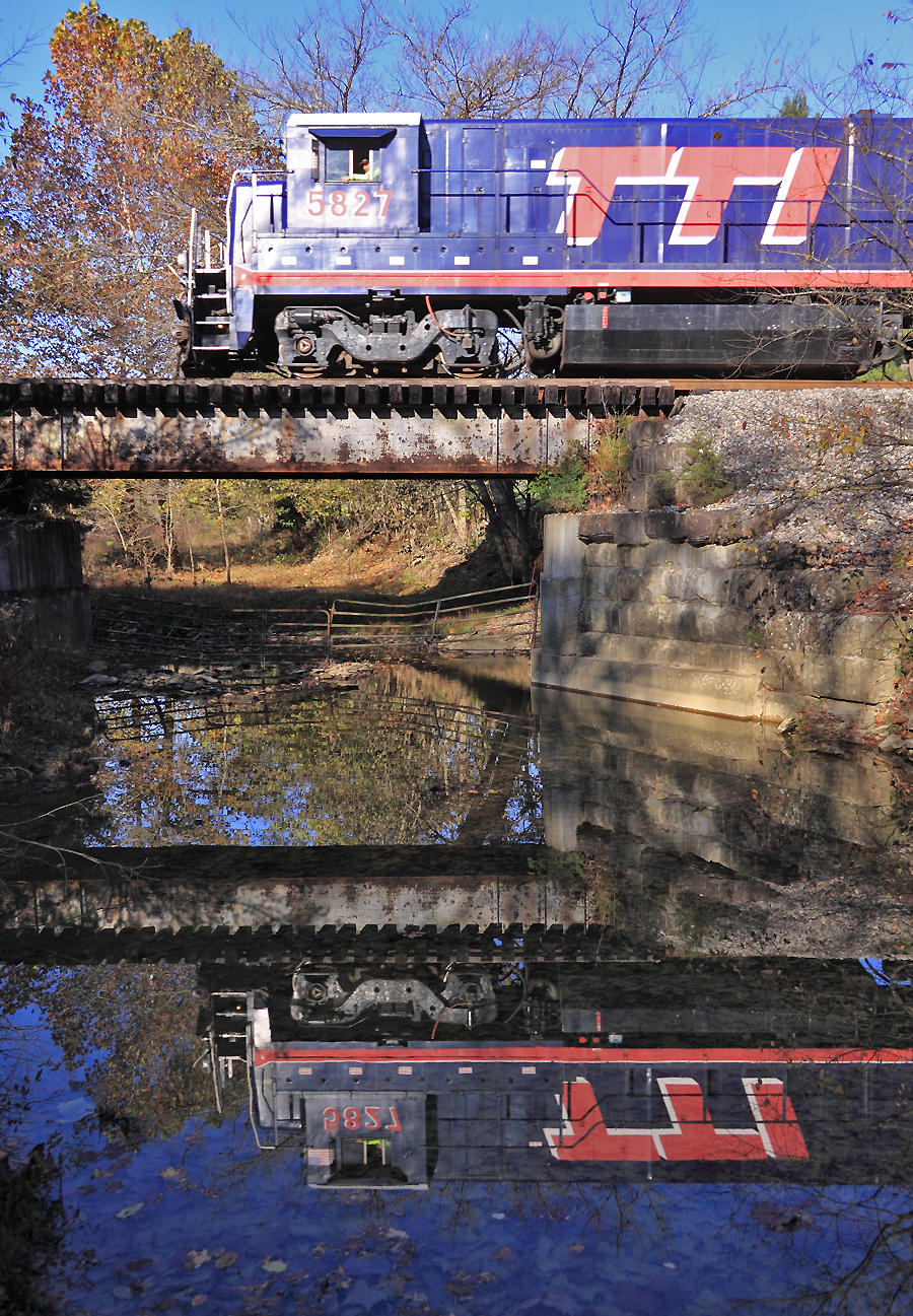
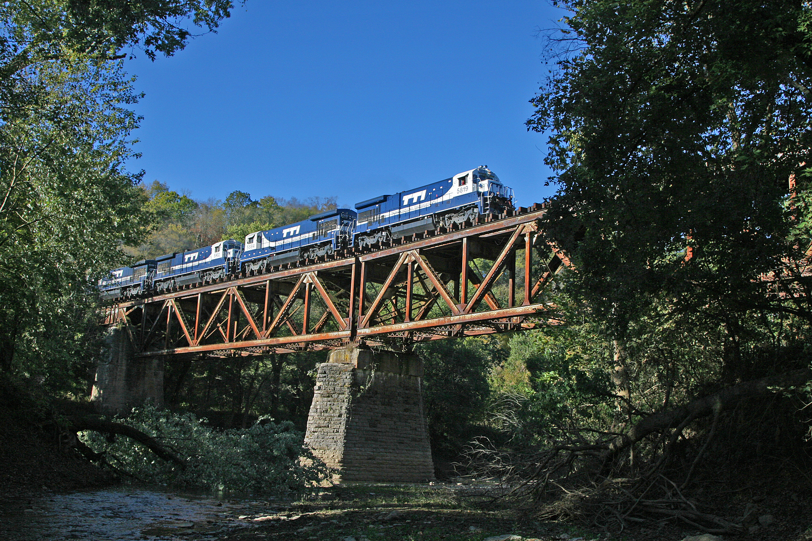
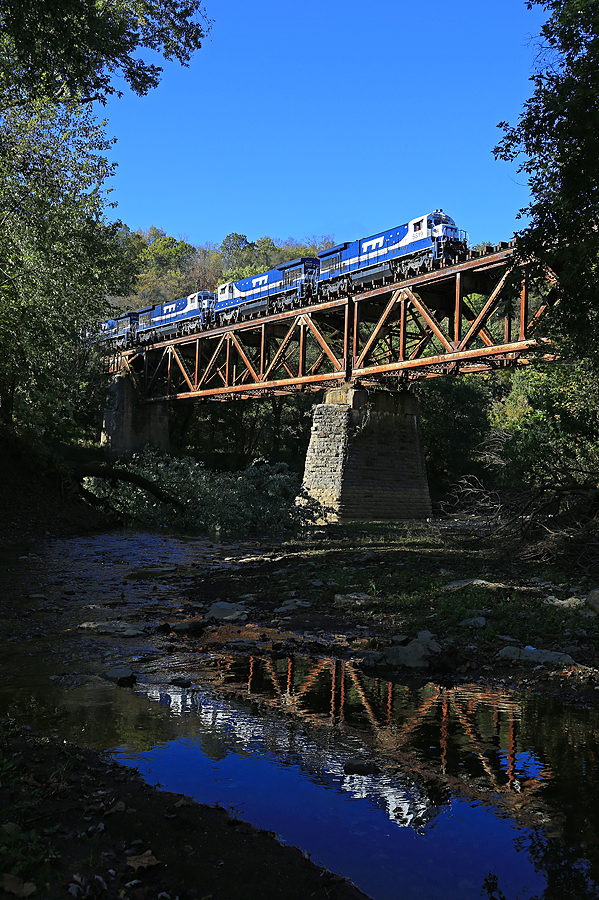
TTI 5827 crosses the Scrubgrass Creek bridge near Meyers, Kentucky
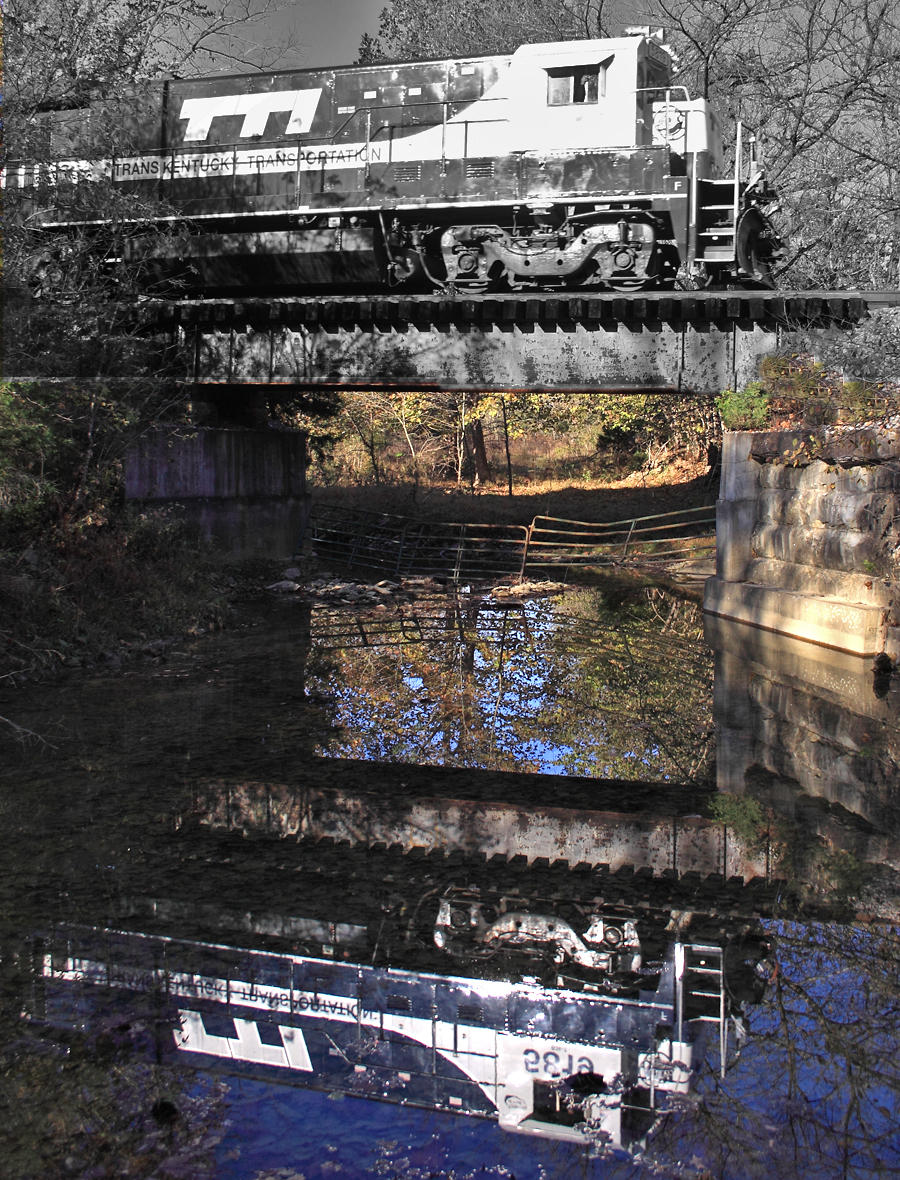
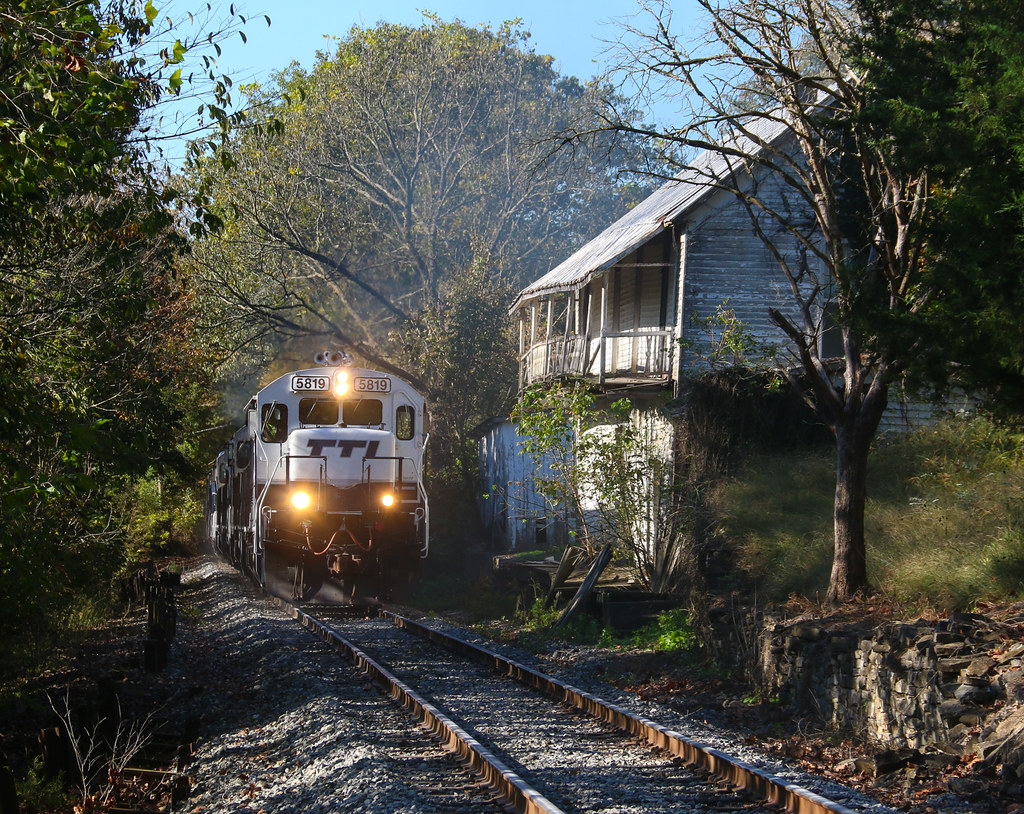
TTI 5819 crosses Scrubgrass creek near Meyers, Kentucky
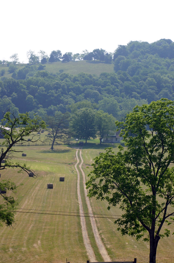
Pleasant Valley
Highway 32 Again
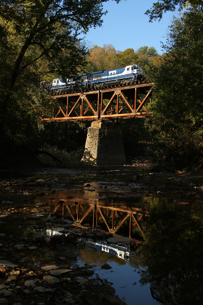
Licking River Bridge
Why Not?

Kentucky Chainsaw Massacre
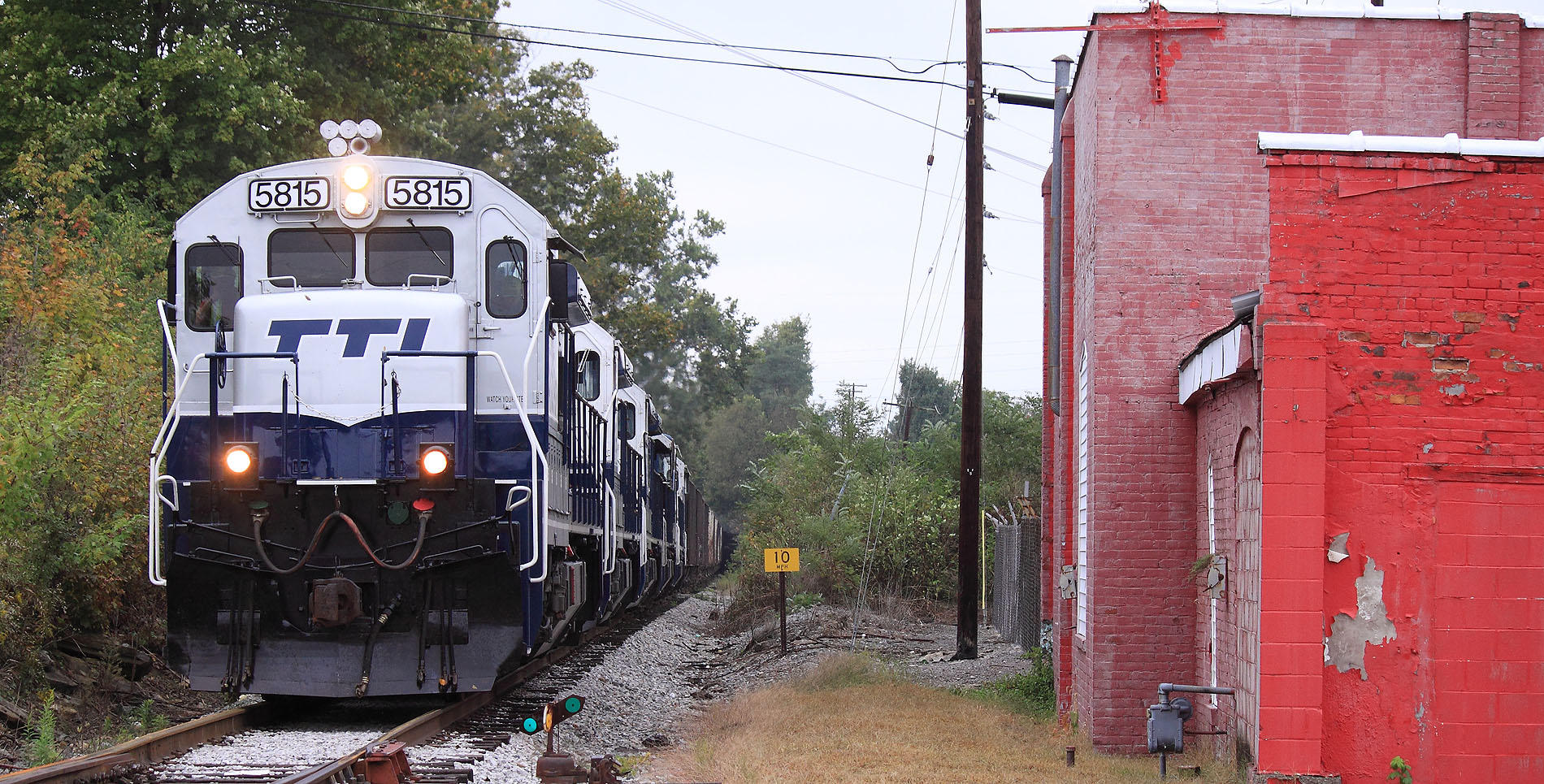
TTI 5815 South, Myers,KY 10/7/2015
trains1072015 144

The Judy Drive In -- Mt Sterling, Kentucky
Topographic Map of Bethel Ridge Rd, Sharpsburg, KY, USA
Find elevation by address:

Places near Bethel Ridge Rd, Sharpsburg, KY, USA:
Magnolia Road
Rolling Hills Road
4468 Ky-36
Sharpsburg
85 Laranda Ct
Upper Sharpsburg Rd, Carlisle, KY, USA
82 Tea Run Rd, Ewing, KY, USA
Pecks Ridge -tilton Road
1821 Cecil Rd
Owingsville
Tilton
Custom Food Products Inc
Wyoming Rd, Owingsville, KY, USA
Mint Ridge Rd, Carlisle, KY, USA
Carlisle
E Main St, Carlisle, KY, USA
131 Lakeview Dr
53 Hilltop Rd, Ewing, KY, USA
406 Natalie Dr
424 N Elm St
Recent Searches:
- Elevation of Warwick, RI, USA
- Elevation of Fern Rd, Whitmore, CA, USA
- Elevation of 62 Abbey St, Marshfield, MA, USA
- Elevation of Fernwood, Bradenton, FL, USA
- Elevation of Felindre, Swansea SA5 7LU, UK
- Elevation of Leyte Industrial Development Estate, Isabel, Leyte, Philippines
- Elevation of W Granada St, Tampa, FL, USA
- Elevation of Pykes Down, Ivybridge PL21 0BY, UK
- Elevation of Jalan Senandin, Lutong, Miri, Sarawak, Malaysia
- Elevation of Bilohirs'k