Elevation of Carlisle, KY, USA
Location: United States > Kentucky > Nicholas County >
Longitude: -84.027427
Latitude: 38.3120197
Elevation: 260m / 853feet
Barometric Pressure: 98KPa
Elevation Map:
Satellite Map:
Related Photos:
Front Porch View
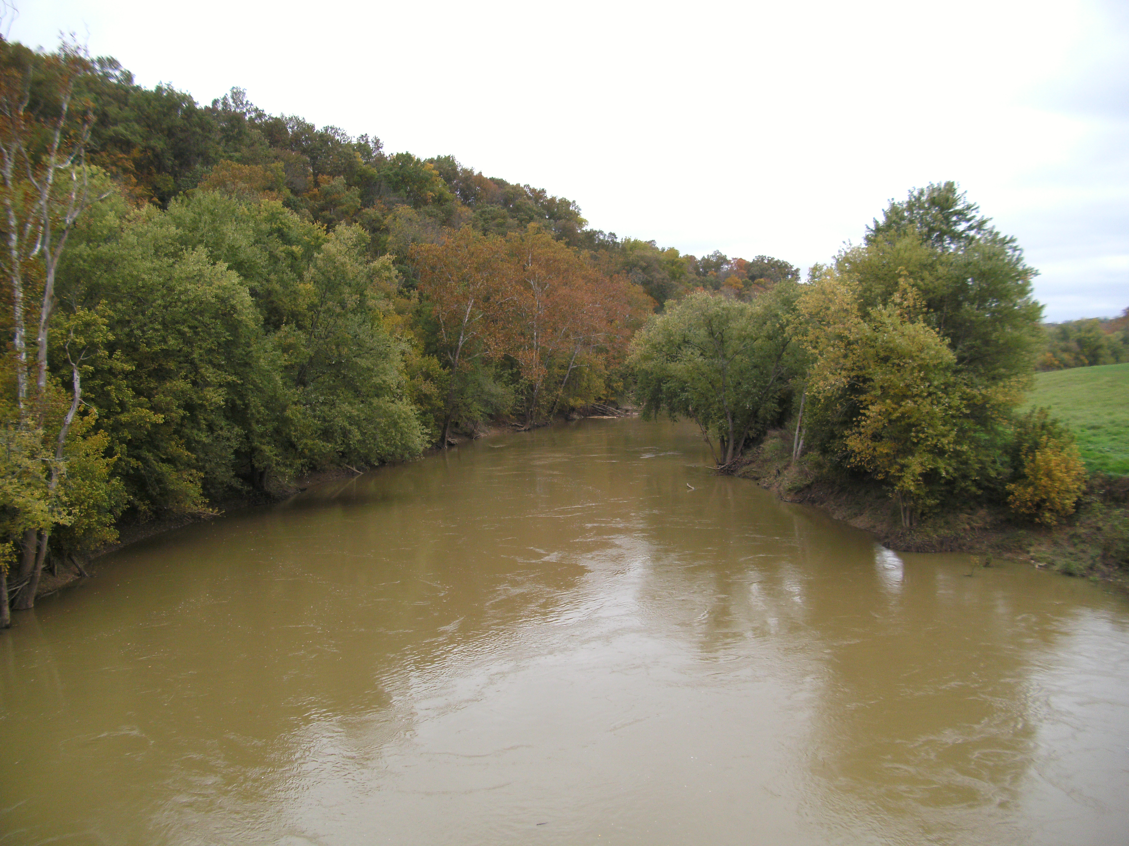
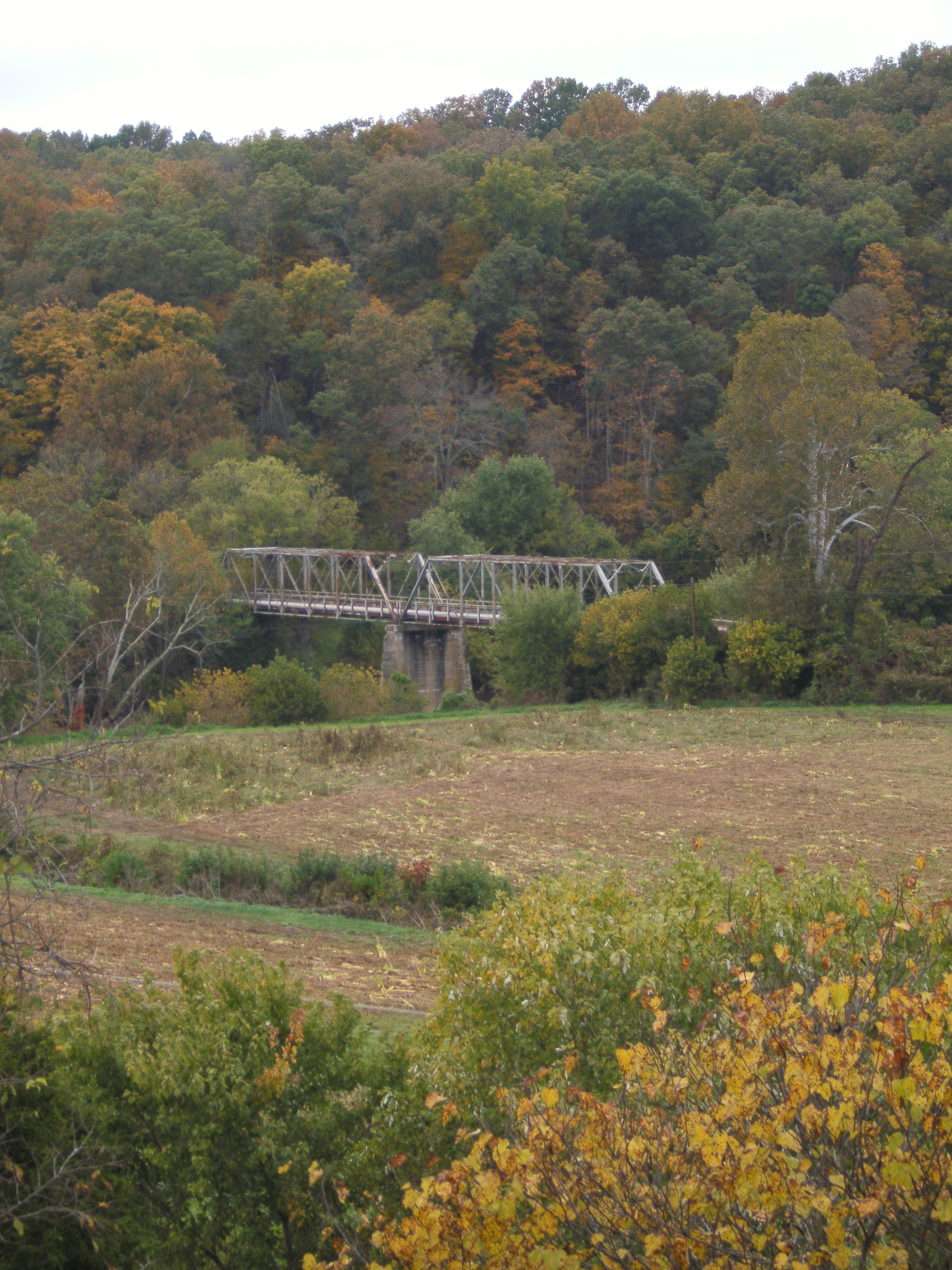
Licking River view from bridge
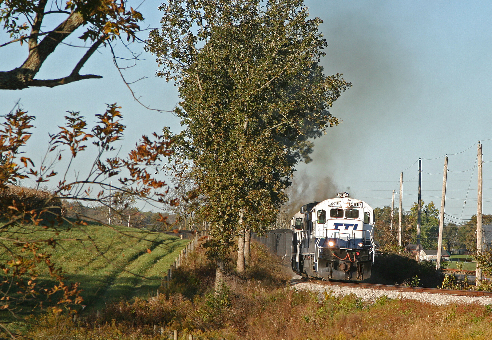
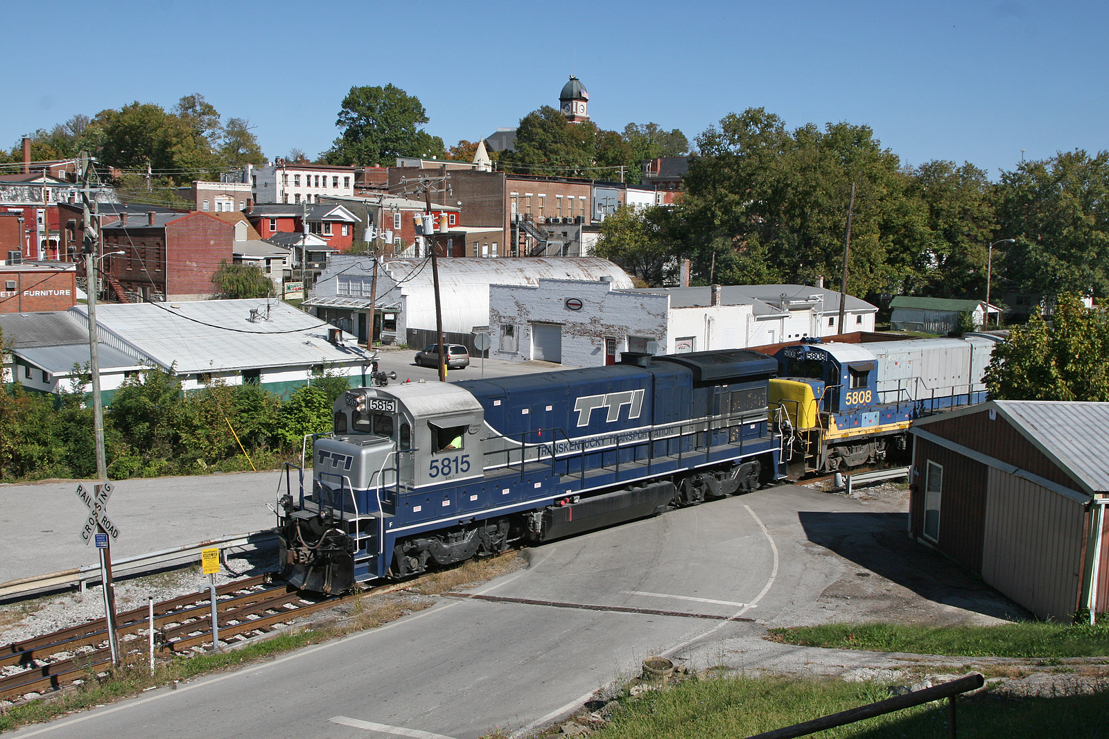
TTI 5819 Tarr Road
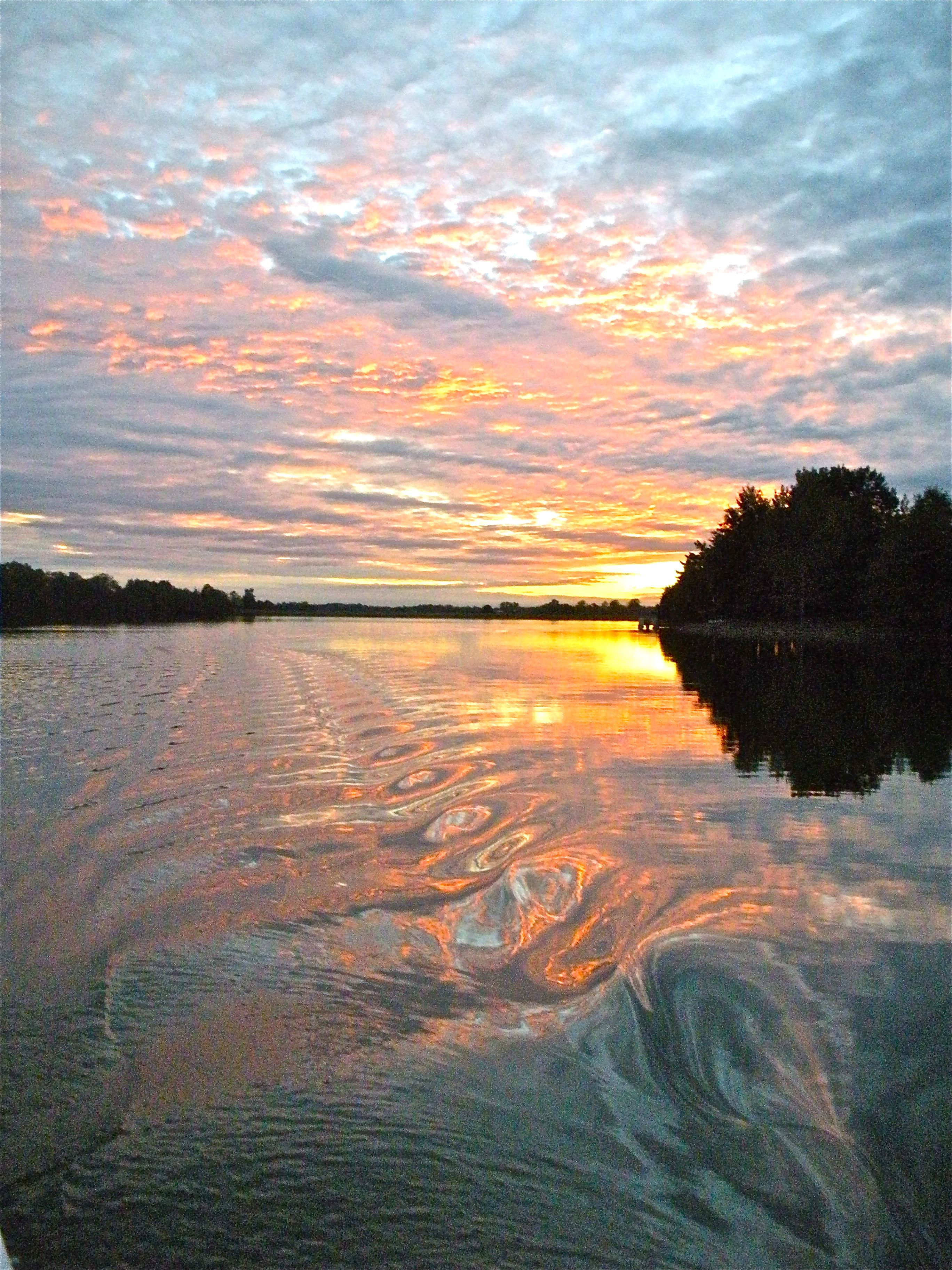
sunset on lake
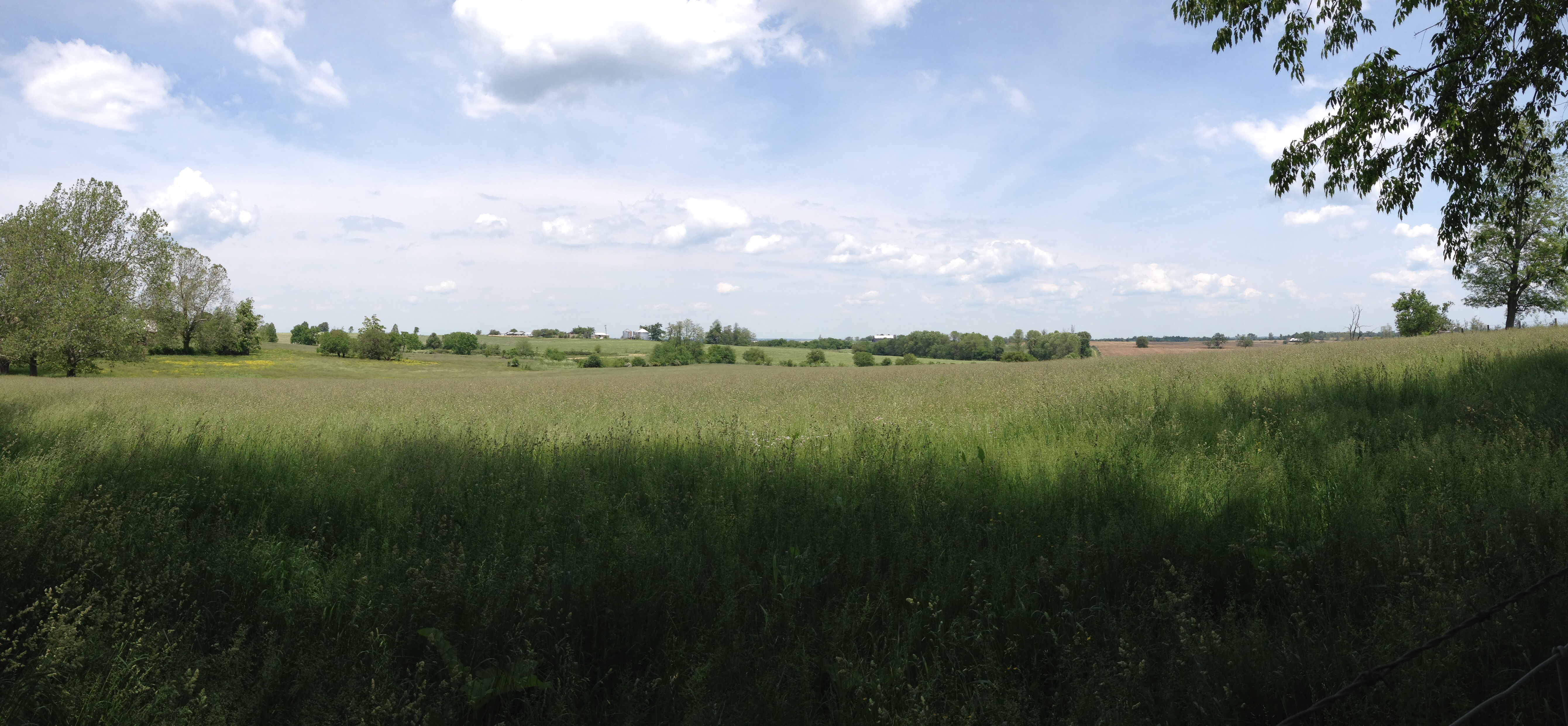
Kentucky Rolling Hills
Sunrise @ Blue Licks
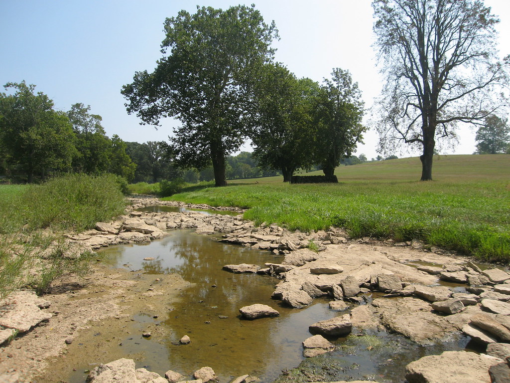
River at Blue Licks 2
Edward Boone's Grave
Bourbon County Kentucky Farm
US 68 Licking River Bridge, Nicholas County, KY from new bridge
Edward Boone's Grave

Old Kentucky Barn
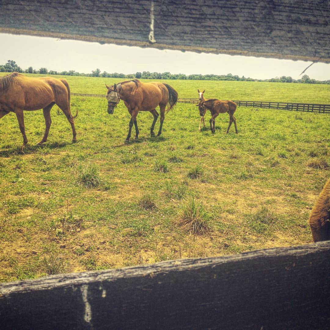
Incantata ad osservare #kentucky #horsestagram #horse #horses_of_instagram #cavalli #babyhorse #america #Avventura #adventure #instalike #instagood #photooftheday #libertà
Topographic Map of Carlisle, KY, USA
Find elevation by address:

Places in Carlisle, KY, USA:
Places near Carlisle, KY, USA:
E Main St, Carlisle, KY, USA
424 N Elm St
Nicholas County
Upper Sharpsburg Rd, Carlisle, KY, USA
Mint Ridge Rd, Carlisle, KY, USA
Main St, Paris, KY, USA
Collier Rd, Cynthiana, KY, USA
Sharpsburg
Licking River
1821 Cecil Rd
Bethel Ridge Rd, Sharpsburg, KY, USA
Five Forks Hill
Thatchers Mill Rd, Paris, KY, USA
Millersburg Pike, Cynthiana, KY, USA
82 Tea Run Rd, Ewing, KY, USA
1054 Millersburg Rd
Ewing
Robertson County
1649 Old Ruddles Mill Rd
KY-, Paris, KY, USA
Recent Searches:
- Elevation of Pu Ngaol Community Meeting Hall, HWHM+3X7, Krong Saen Monourom, Cambodia
- Elevation of Royal Ontario Museum, Queens Park, Toronto, ON M5S 2C6, Canada
- Elevation of Groblershoop, South Africa
- Elevation of Power Generation Enterprises | Industrial Diesel Generators, Oak Ave, Canyon Country, CA, USA
- Elevation of Chesaw Rd, Oroville, WA, USA
- Elevation of N, Mt Pleasant, UT, USA
- Elevation of 6 Rue Jules Ferry, Beausoleil, France
- Elevation of Sattva Horizon, 4JC6+G9P, Vinayak Nagar, Kattigenahalli, Bengaluru, Karnataka, India
- Elevation of Great Brook Sports, Gold Star Hwy, Groton, CT, USA
- Elevation of 10 Mountain Laurels Dr, Nashua, NH, USA