Elevation of Sharpsburg, KY, USA
Location: United States > Kentucky > Bath County >
Longitude: -83.929368
Latitude: 38.2020214
Elevation: 308m / 1010feet
Barometric Pressure: 98KPa
Elevation Map:
Satellite Map:
Related Photos:
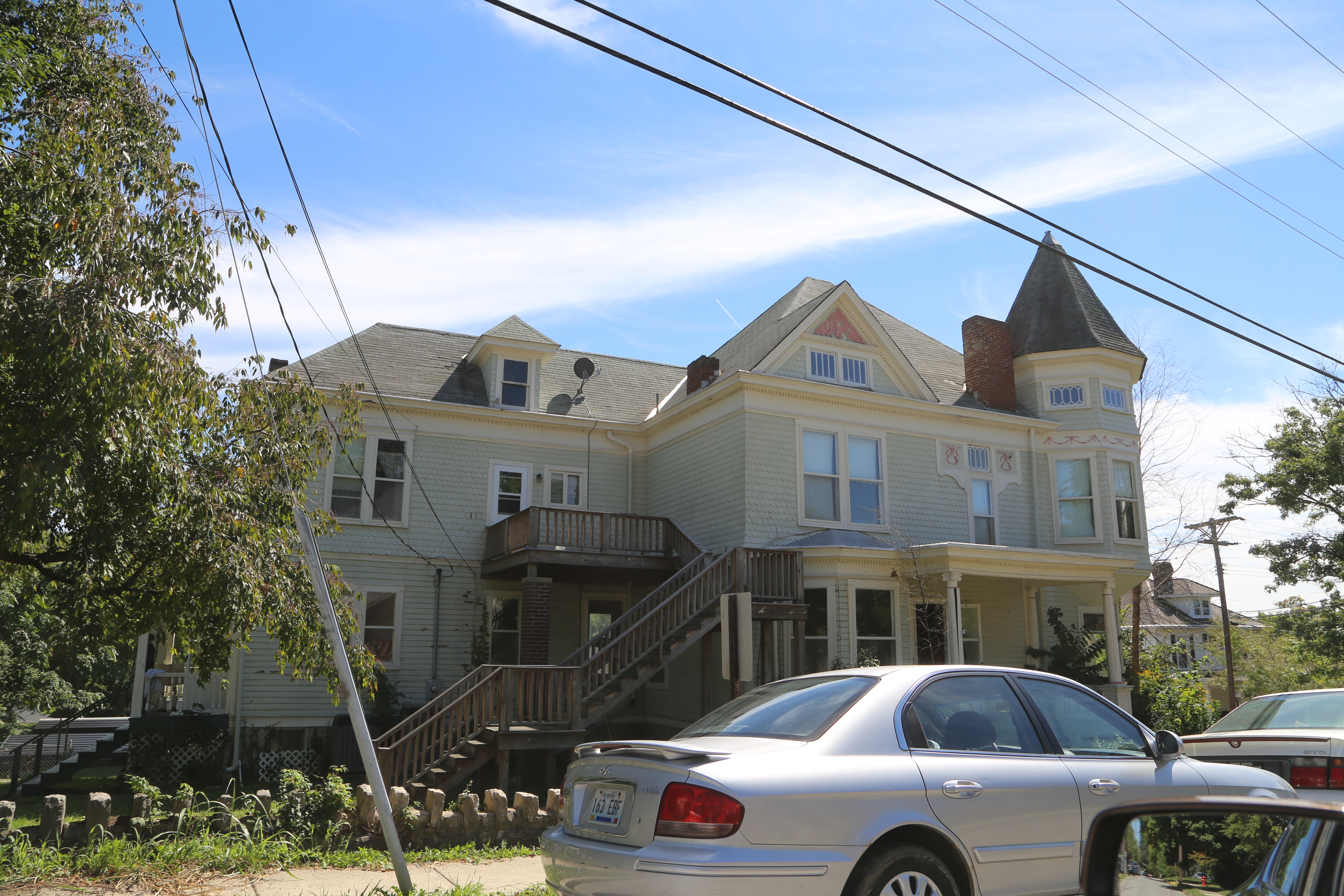
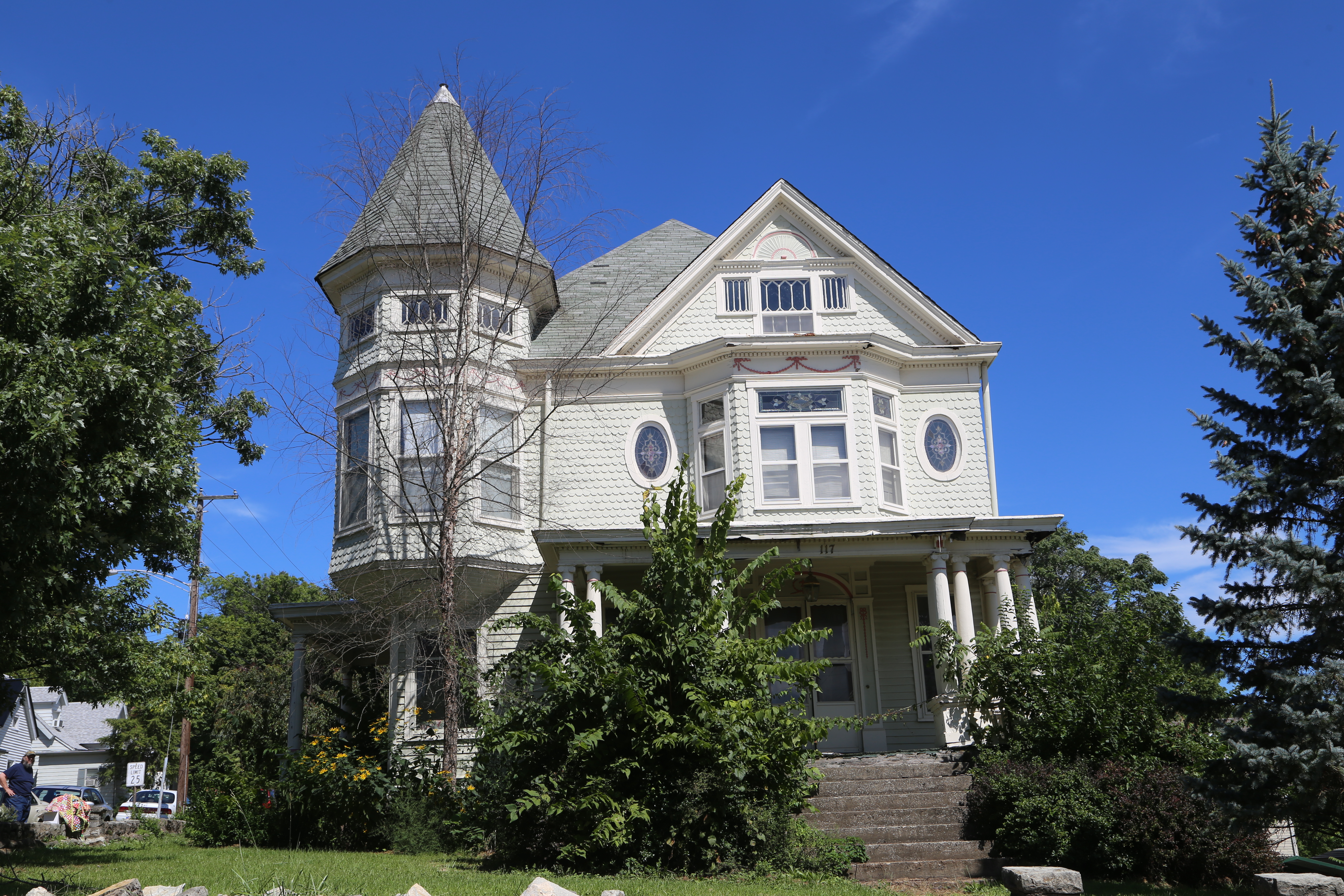
Front Porch View
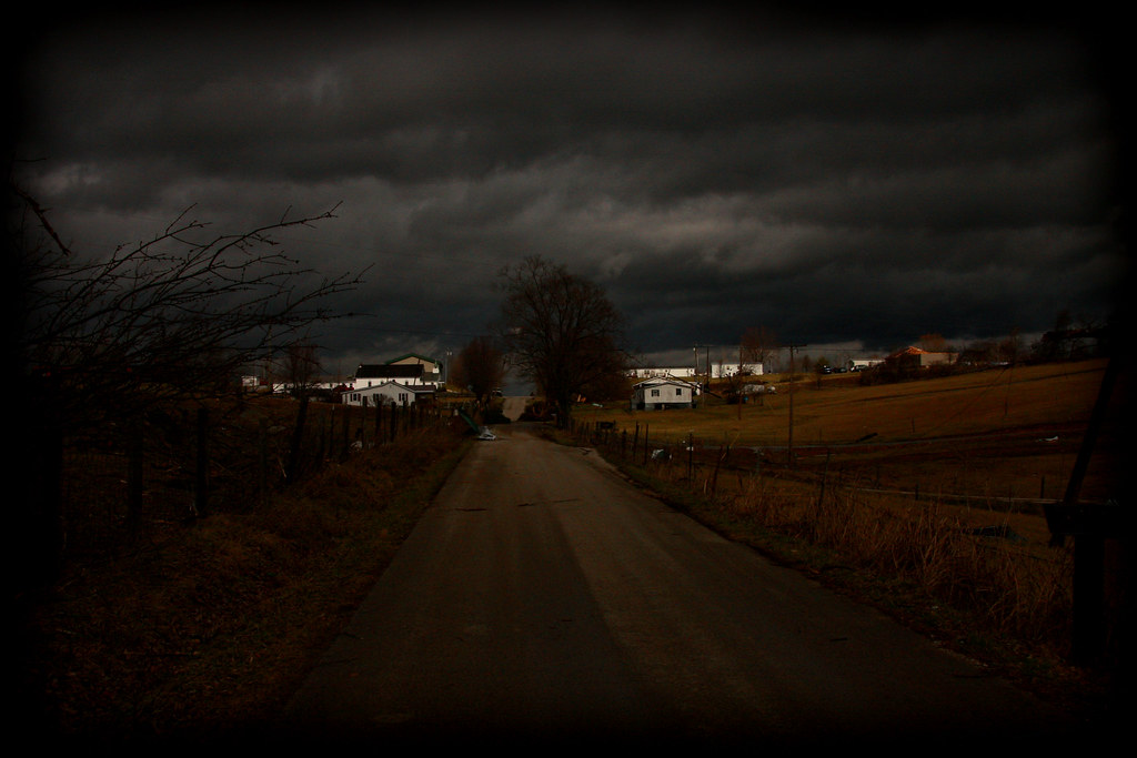
Rolling Thunder
Edward Boone's Grave
Edward Boone's Grave
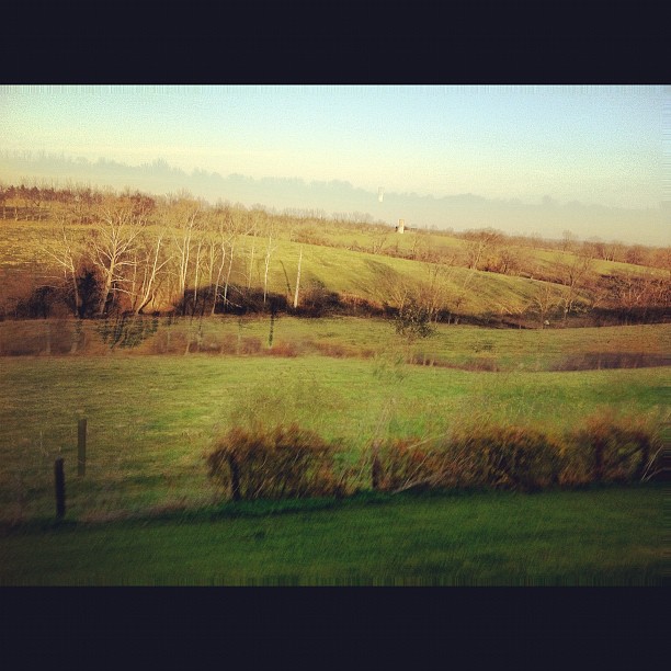
Beautiful Day in Kentucky :-)

What used to be...
Carlisle Kentucty, Nicholas County KY
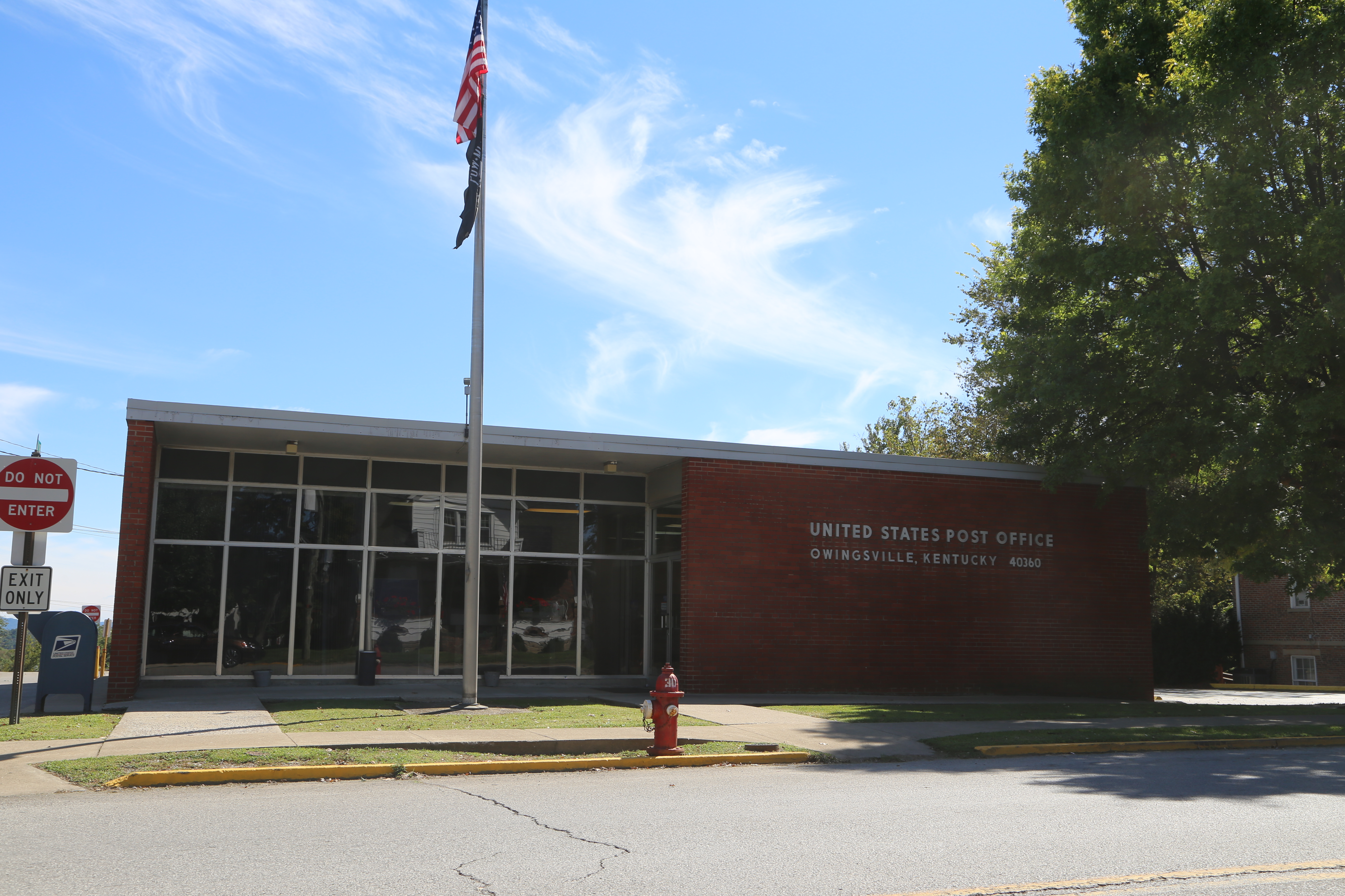
Owingsville Kentucky, Post Office, 40360, Bath County KY
A Northbound passes Brushy Fork Park in Carlisle
A Southbound eases through the back streets of Carlisle

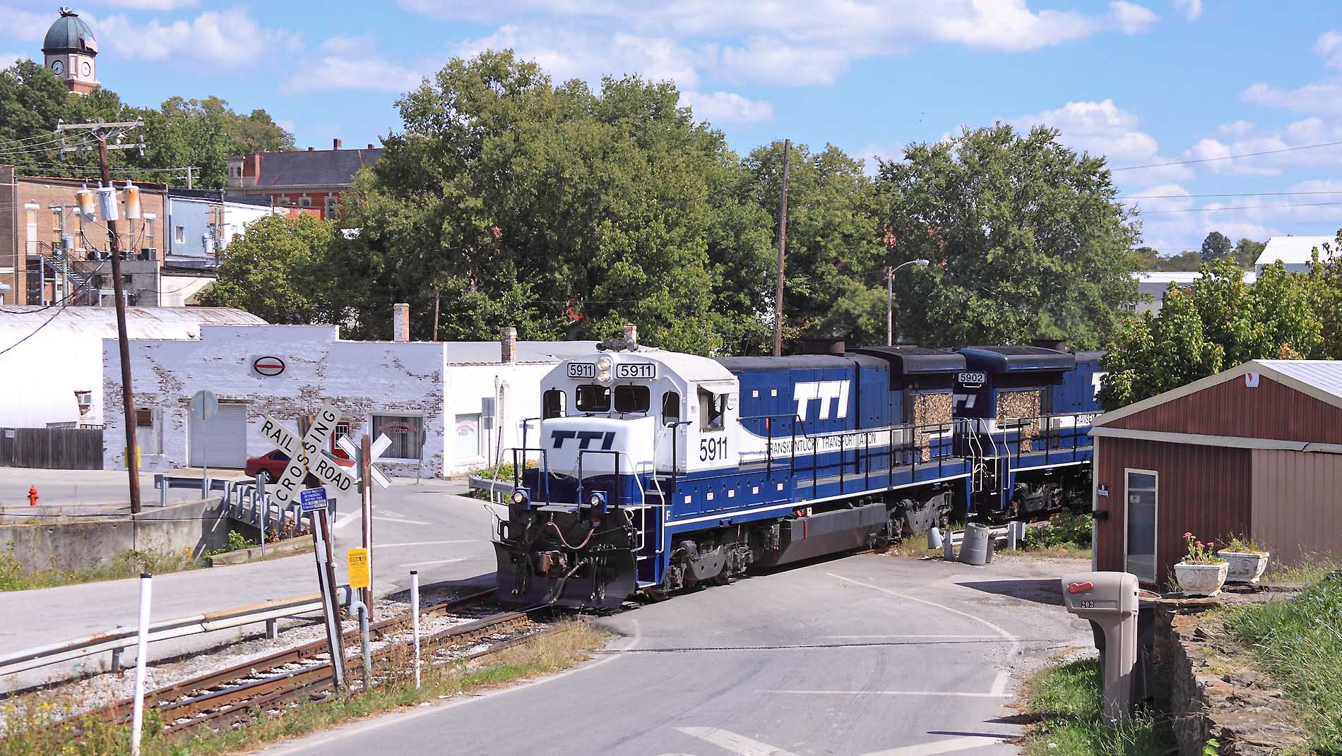
Northbound approaching downtown Carlisle
Meyers, Kentucky
Northbound passing the Carlisle firehouse
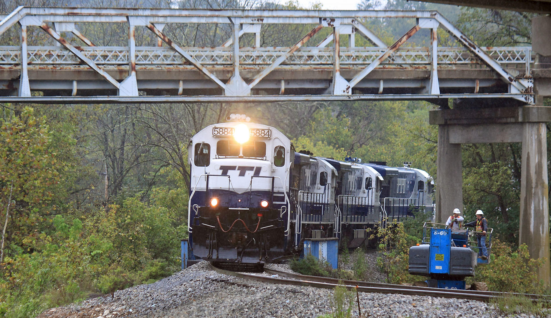
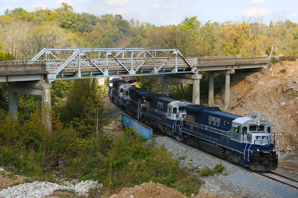
A Southbound creeps through the bridge construction site at Meyers. The old US 32 bridge will come down in November Meyers, Kentucky
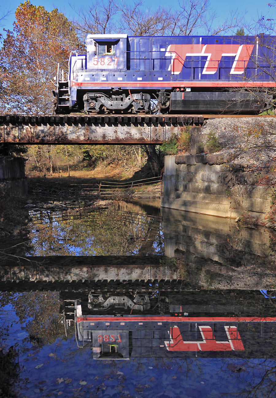
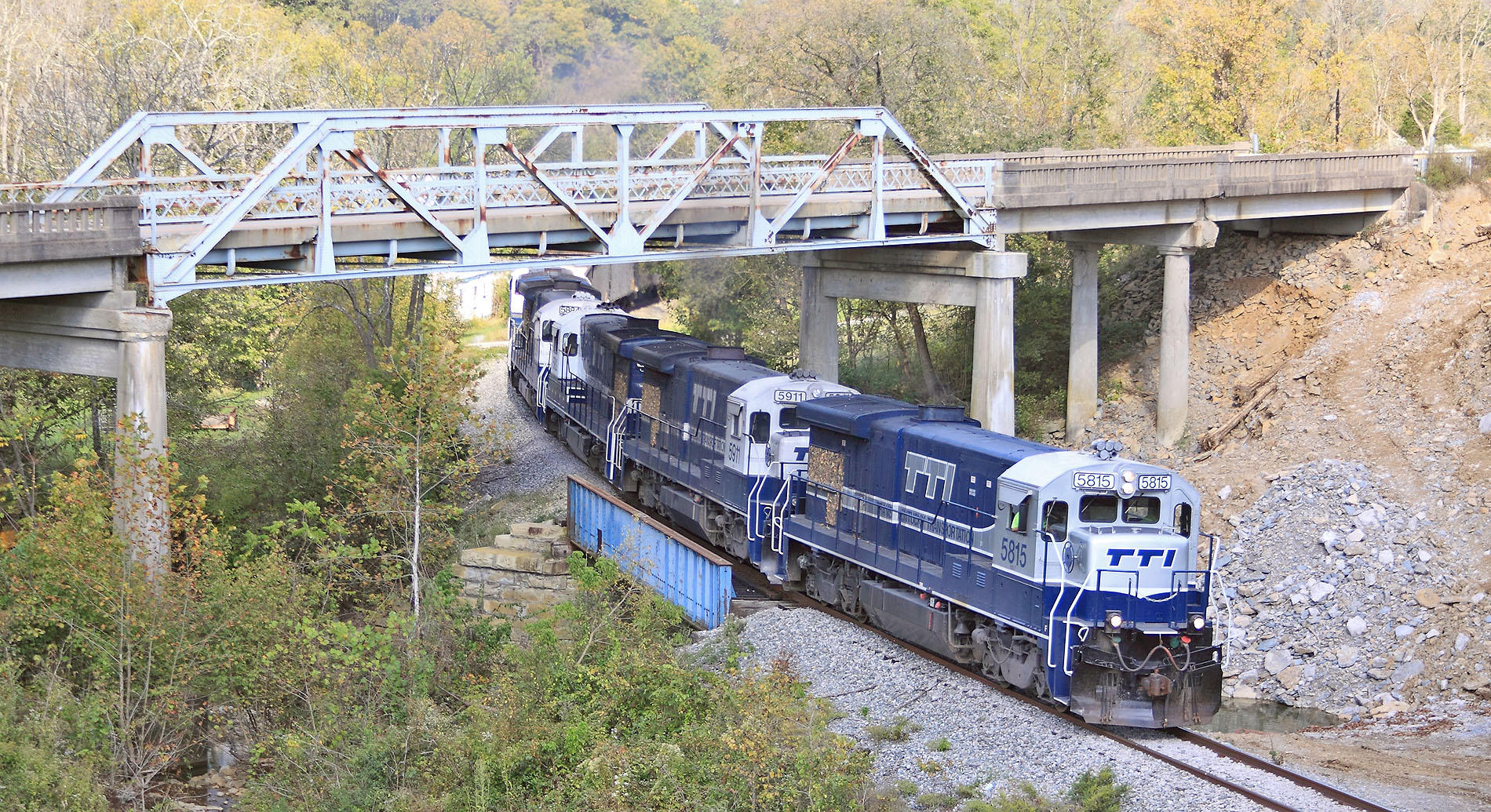
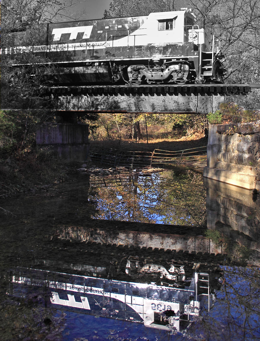
TTI 5827 crosses the Scrubgrass Creek bridge near Meyers, Kentucky
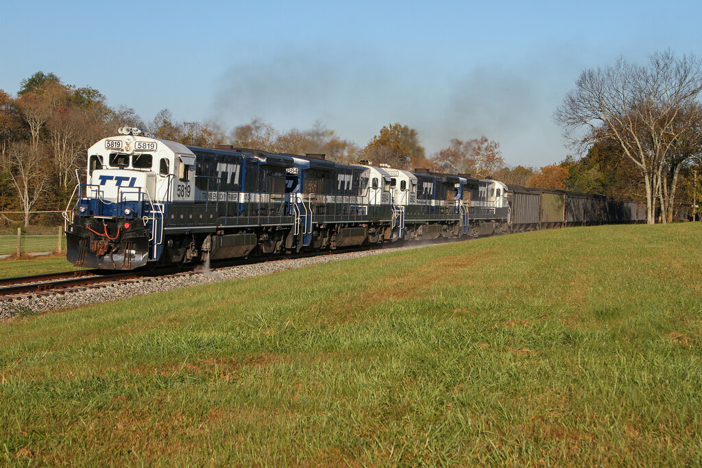
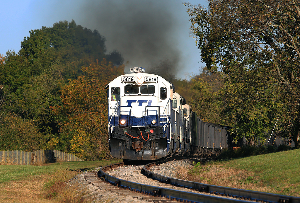
TTI 5819 crosses Scrubgrass creek near Meyers, Kentucky
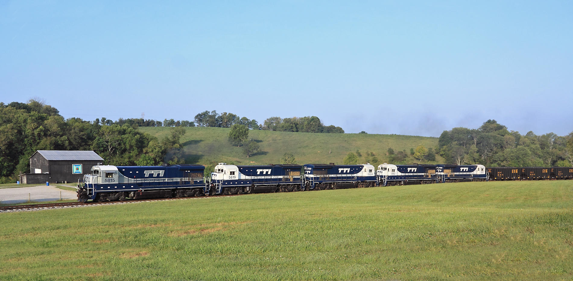
TTI NB Coal @ Carlisle
Highway 32 Again

TTI Coal Train
Smokin'
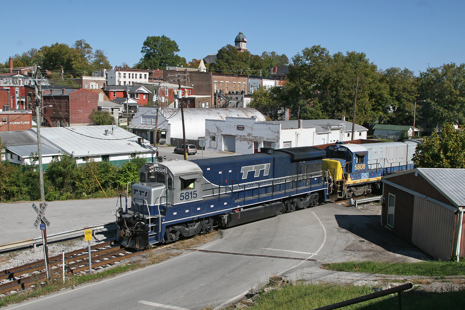
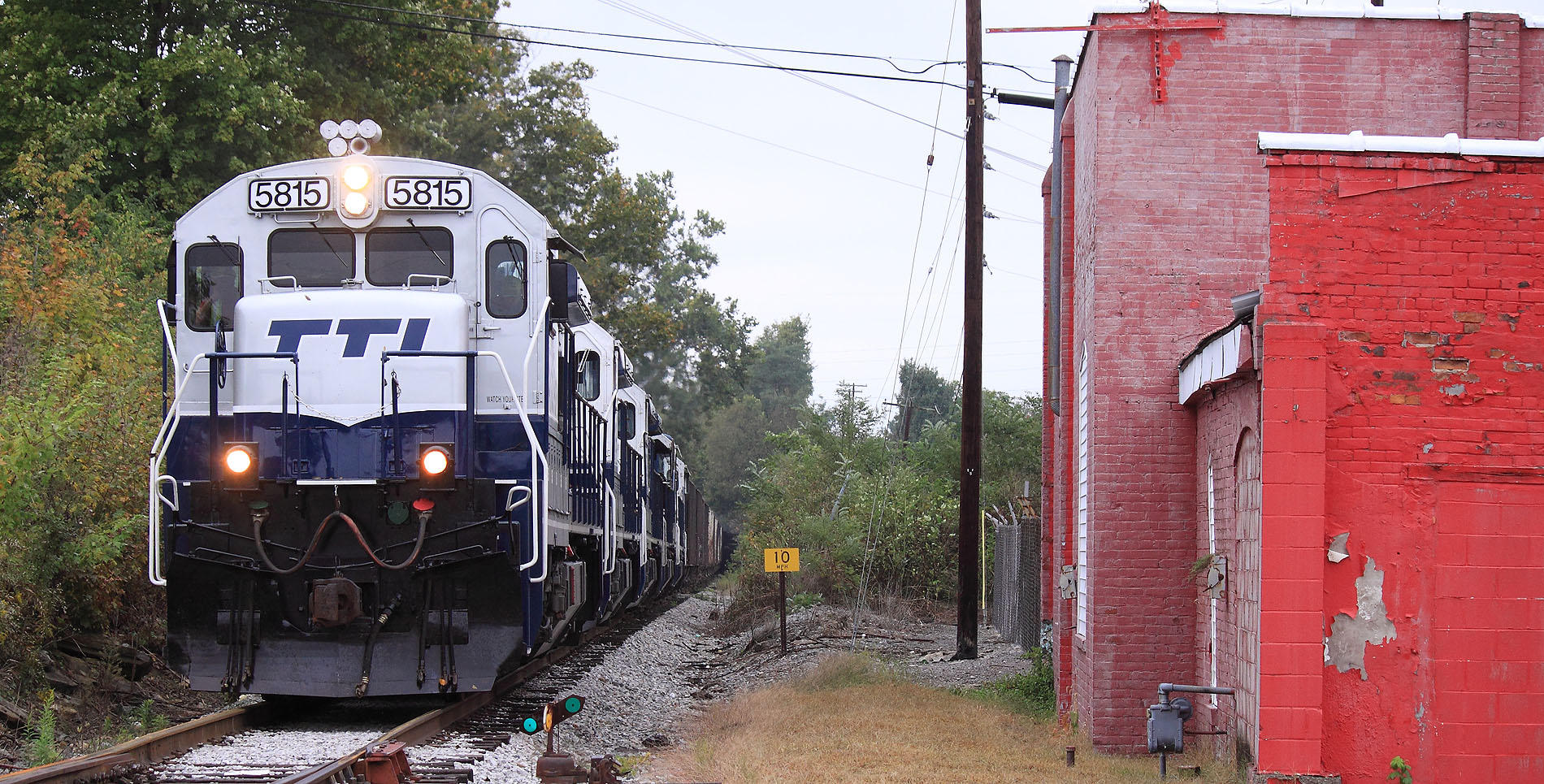
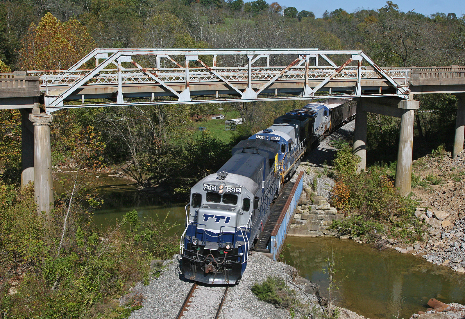
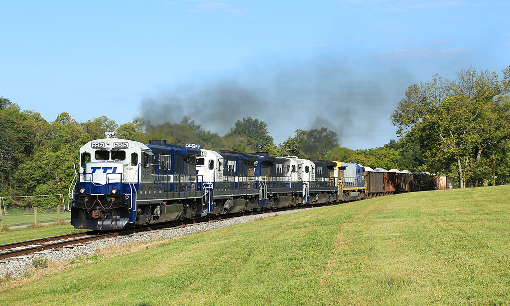
TTI 5815 South, Myers,KY 10/7/2015
I Got Five Broats
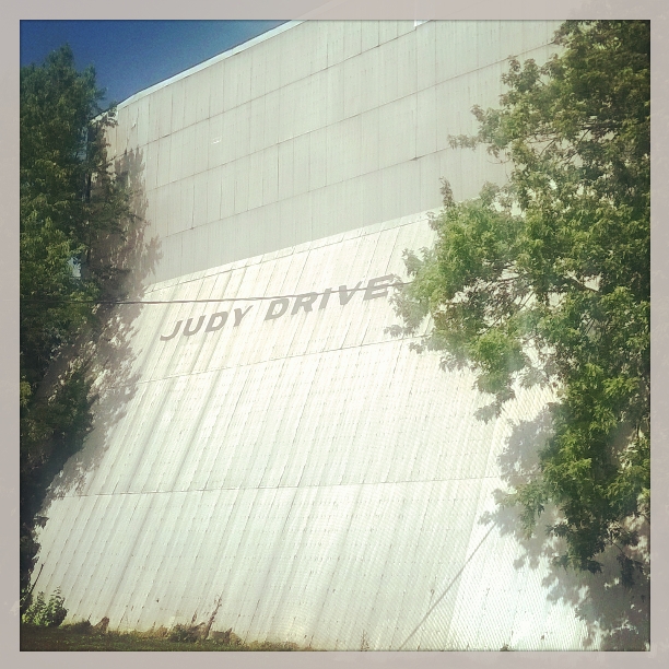
The Judy Drive In -- Mt Sterling, Kentucky
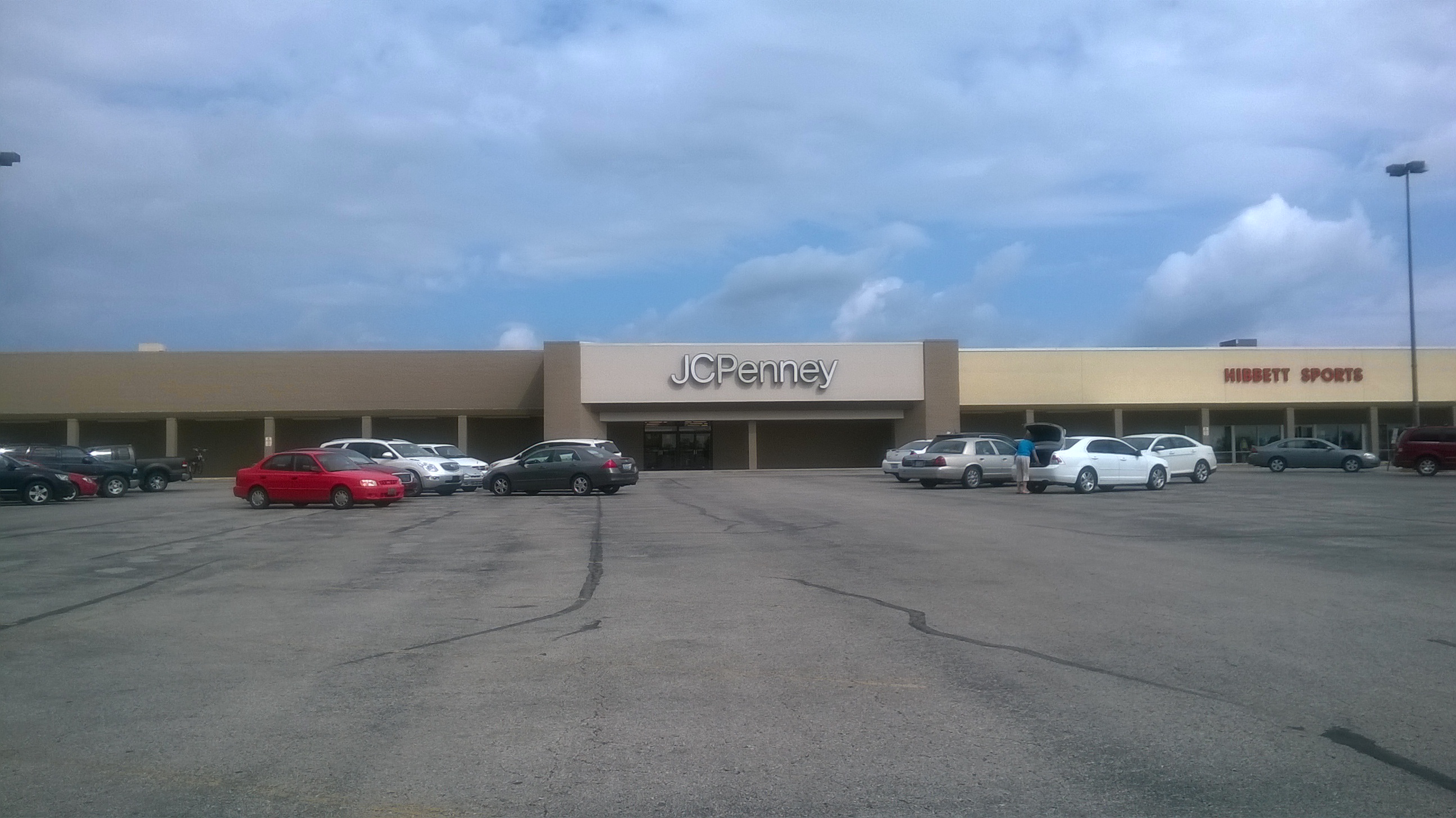
J.C. Penney -- Mount Sterling, Kentucky
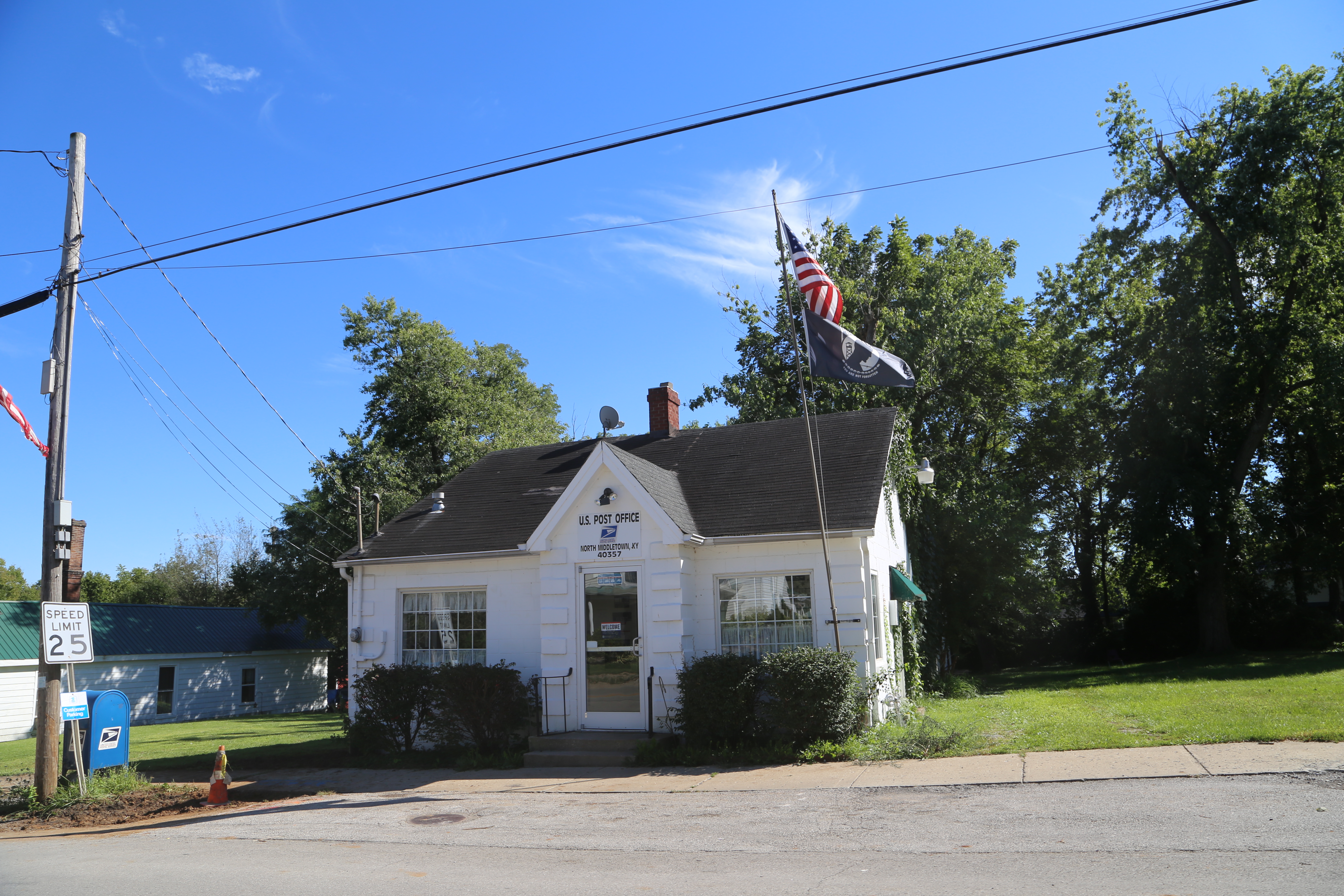
North Middleton Kentucky, Post Office, 40357, Rowan County KY
Carlisle Kentucty, Nicholas County KY
Topographic Map of Sharpsburg, KY, USA
Find elevation by address:

Places in Sharpsburg, KY, USA:
Places near Sharpsburg, KY, USA:
1821 Cecil Rd
Upper Sharpsburg Rd, Carlisle, KY, USA
Rolling Hills Road
Bethel Ridge Rd, Sharpsburg, KY, USA
85 Laranda Ct
Magnolia Road
4468 Ky-36
406 Natalie Dr
1222 Osborne Rd
Ashlyn Drive
131 Lakeview Dr
11 Maysville Ave
131 Lakeview Dr
Mount Sterling
Carlisle
E Main St, Carlisle, KY, USA
424 N Elm St
Indian Mound Drive
Five Forks Hill
Winchester Rd, Mt Sterling, KY, USA
Recent Searches:
- Elevation of East W.T. Harris Boulevard, E W.T. Harris Blvd, Charlotte, NC, USA
- Elevation of West Sugar Creek, Charlotte, NC, USA
- Elevation of Wayland, NY, USA
- Elevation of Steadfast Ct, Daphne, AL, USA
- Elevation of Lagasgasan, X+CQH, Tiaong, Quezon, Philippines
- Elevation of Rojo Ct, Atascadero, CA, USA
- Elevation of Flagstaff Drive, Flagstaff Dr, North Carolina, USA
- Elevation of Avery Ln, Lakeland, FL, USA
- Elevation of Woolwine, VA, USA
- Elevation of Lumagwas Diversified Farmers Multi-Purpose Cooperative, Lumagwas, Adtuyon, RV32+MH7, Pangantucan, Bukidnon, Philippines