Elevation of Ewing, KY, USA
Location: United States > Kentucky > Fleming County >
Longitude: -83.863255
Latitude: 38.4272984
Elevation: 288m / 945feet
Barometric Pressure: 98KPa
Elevation Map:
Satellite Map:
Related Photos:
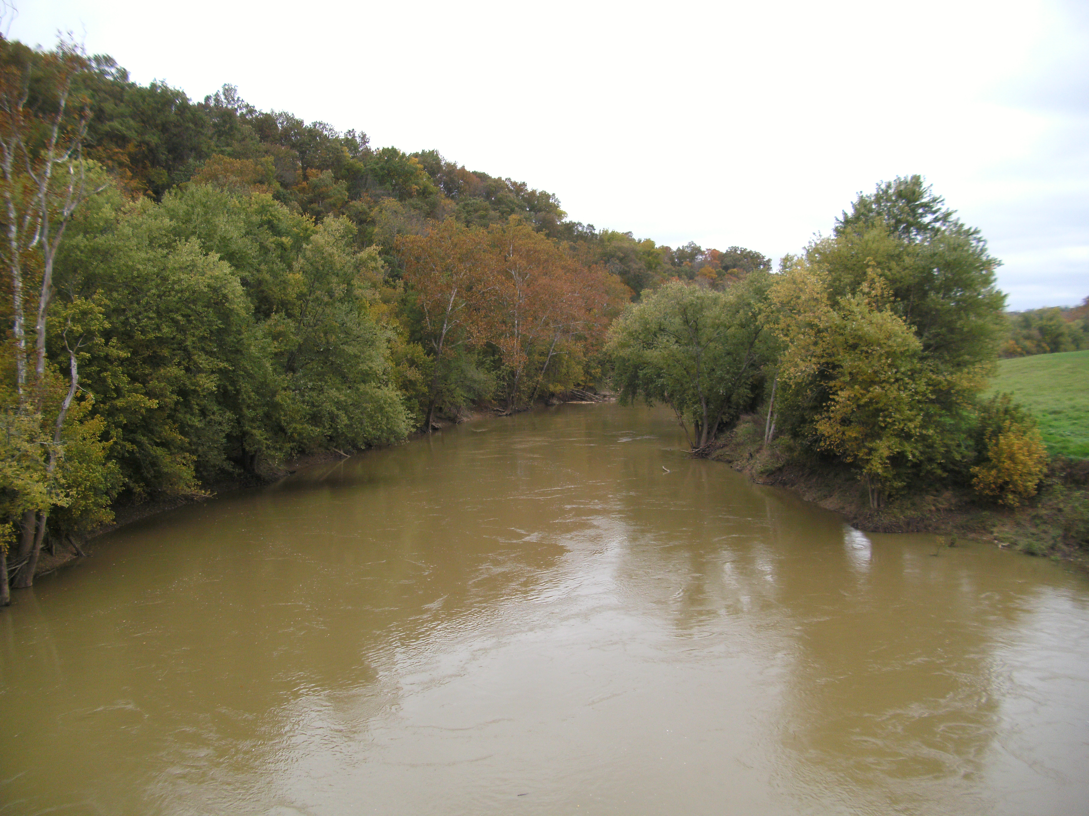
Licking River view from bridge

Sunrise @ Blue Licks

River at Blue Licks 2
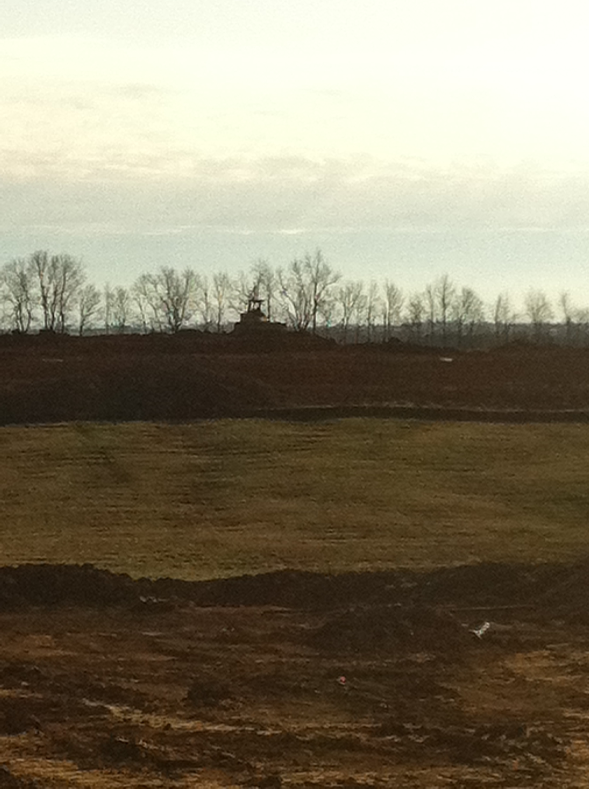
EES Construction 22
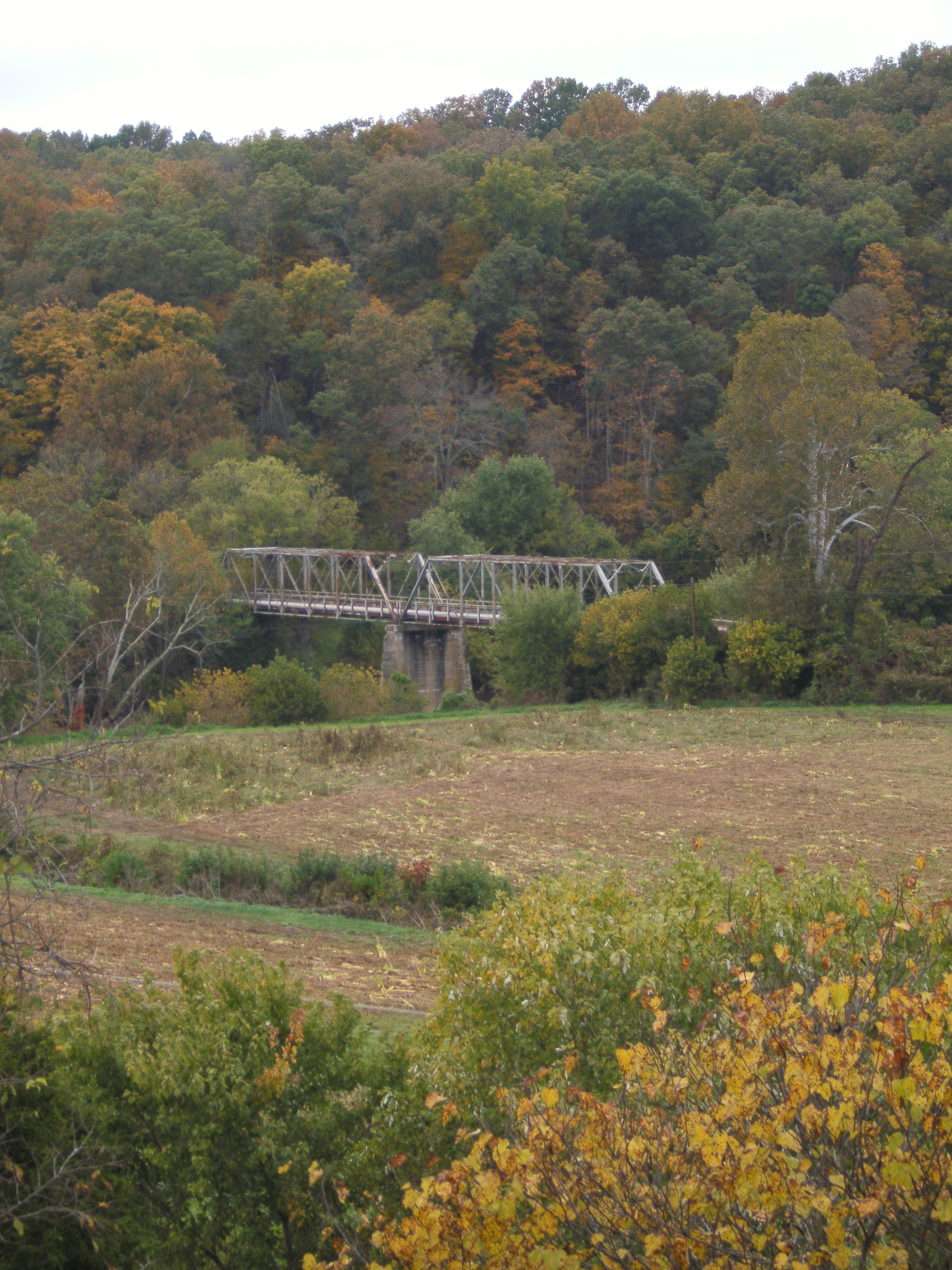
US 68 Licking River Bridge, Nicholas County, KY from new bridge

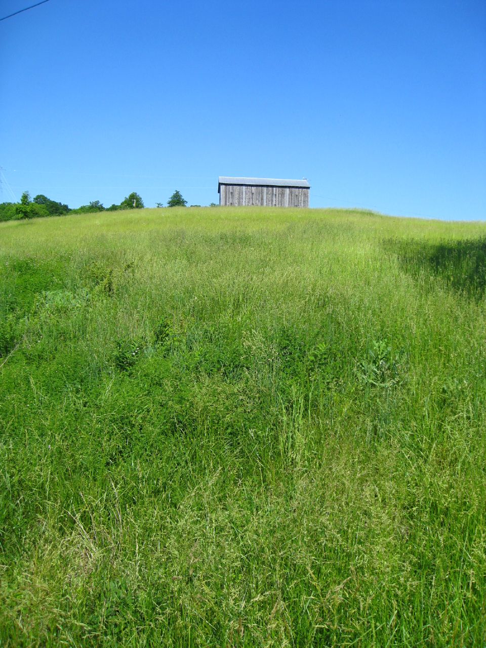
Old Kentucky Barn

fence shadow
Barn near Johnson Creek covered bridge

Daisies w clover
Topographic Map of Ewing, KY, USA
Find elevation by address:

Places in Ewing, KY, USA:
Places near Ewing, KY, USA:
53 Hilltop Rd, Ewing, KY, USA
KY-, Mayslick, KY, USA
82 Tea Run Rd, Ewing, KY, USA
Mayslick
1366 Flemingsburg-mays Lick Rd
Mays Lick
Mint Ridge Rd, Carlisle, KY, USA
6080 Ky-324
6224 Helena Rd
Pecks Ridge -tilton Road
KY-11, Mayslick, KY, USA
Flemingsburg
Fleming County Sheriff's Office
Tilton
3 Lick Road
2677 Wallingford Rd
Licking River
Popular Plains Rd, Flemingsburg, KY, USA
Bethel Ridge Rd, Sharpsburg, KY, USA
2339 Cottonwood Ct
Recent Searches:
- Elevation of 4 Vale Rd, Sheffield S3 9QX, UK
- Elevation of Keene Point Drive, Keene Point Dr, Grant, AL, USA
- Elevation of State St, Zanesville, OH, USA
- Elevation of Austin Stone Dr, Haslet, TX, USA
- Elevation of Bydgoszcz, Poland
- Elevation of Bydgoszcz, Poland
- Elevation of Calais Dr, Del Mar, CA, USA
- Elevation of Placer Mine Ln, West Jordan, UT, USA
- Elevation of E 63rd St, New York, NY, USA
- Elevation of Elk City, OK, USA