Elevation of Helena Rd, Mays Lick, KY, USA
Location: United States > Kentucky > Mason County > Mays Lick >
Longitude: -83.804045
Latitude: 38.5104762
Elevation: 291m / 955feet
Barometric Pressure: 98KPa
Elevation Map:
Satellite Map:
Related Photos:

Just A Dash of GE

Morning Glory

Rock Empties at Strodes Run
Pushers at Strodes Run

TTI 5819capronis

River View

A Taste Of Maysville

Backwards We Go

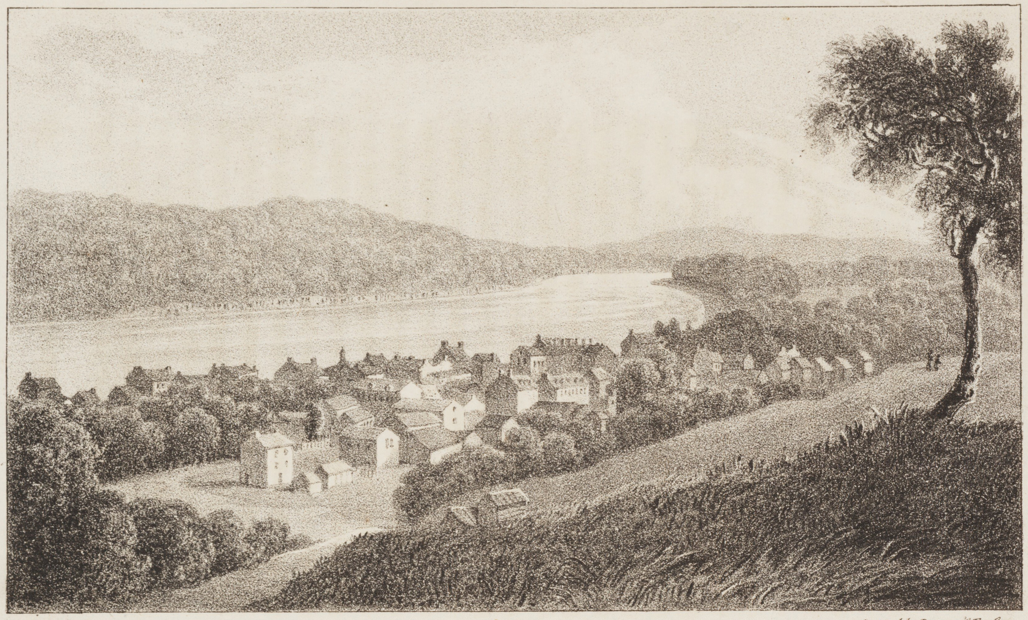
Sutton's Landing, 1850s

Maysville Limestone Kentucky

Simon Kenton Memorial Bridge
Market Street

Maysville, Kentucky

Ohio River Waterfront — Maysville, Kentucky

Ohio River Waterfront — Maysville, Kentucky
Maysville, Kentucky

Day 4k Old Washington Stone House 2
Landscape — Fairview Vicinity, Fleming County, Kentucky

TTI 5819 North, Maysville,KY 10/7/2015

Open Pastures

Twilight on the Ohio

TTI NB Coal @ Somo

fence shadow

A Sailor's Delight

Simon Kenton Memorial Bridge, Maysville Kentucky
Maysville, on the Ohio, Kentucky

IMG_3743.JPG

IMG_4720.JPG

Purple Haze

Mason County Courthouse

Mitchell Farm — May's Lick Vicinity, Mason County, Kentucky

IMG_9978.jpg

Cotton Candy
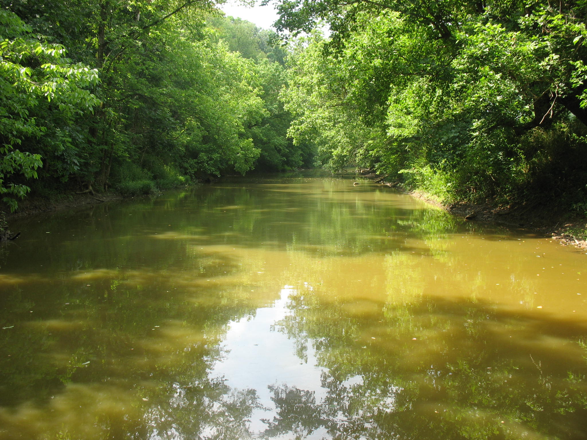
North Fork
Topographic Map of Helena Rd, Mays Lick, KY, USA
Find elevation by address:

Places near Helena Rd, Mays Lick, KY, USA:
1366 Flemingsburg-mays Lick Rd
Mays Lick
KY-11, Mayslick, KY, USA
Mayslick
2339 Cottonwood Ct
2279 Paxton Inn Dr
S Court St, Maysville, KY, USA
Old Washington
Taylor Mill Rd, Maysville, KY, USA
3 Lick Road
Boone Ave, Maysville, KY, USA
522 Valentine Dr
Mason County
33 E 2nd St
Maysville
404 W 2nd St
Aberdeen
Mason Lewis Rd, Maysville, KY, USA
60 Locust Pointe
Recent Searches:
- Elevation of Elwyn Dr, Roanoke Rapids, NC, USA
- Elevation of Congressional Dr, Stevensville, MD, USA
- Elevation of Bellview Rd, McLean, VA, USA
- Elevation of Stage Island Rd, Chatham, MA, USA
- Elevation of Shibuya Scramble Crossing, 21 Udagawacho, Shibuya City, Tokyo -, Japan
- Elevation of Jadagoniai, Kaunas District Municipality, Lithuania
- Elevation of Pagonija rock, Kranto 7-oji g. 8"N, Kaunas, Lithuania
- Elevation of Co Rd 87, Jamestown, CO, USA
- Elevation of Tenjo, Cundinamarca, Colombia
- Elevation of Côte-des-Neiges, Montreal, QC H4A 3J6, Canada