Elevation of Upper Sharpsburg Rd, Carlisle, KY, USA
Location: United States > Kentucky > Nicholas County > Carlisle >
Longitude: -83.978614
Latitude: 38.2405265
Elevation: 264m / 866feet
Barometric Pressure: 98KPa
Elevation Map:
Satellite Map:
Related Photos:
Front Porch View
Edward Boone's Grave
Edward Boone's Grave
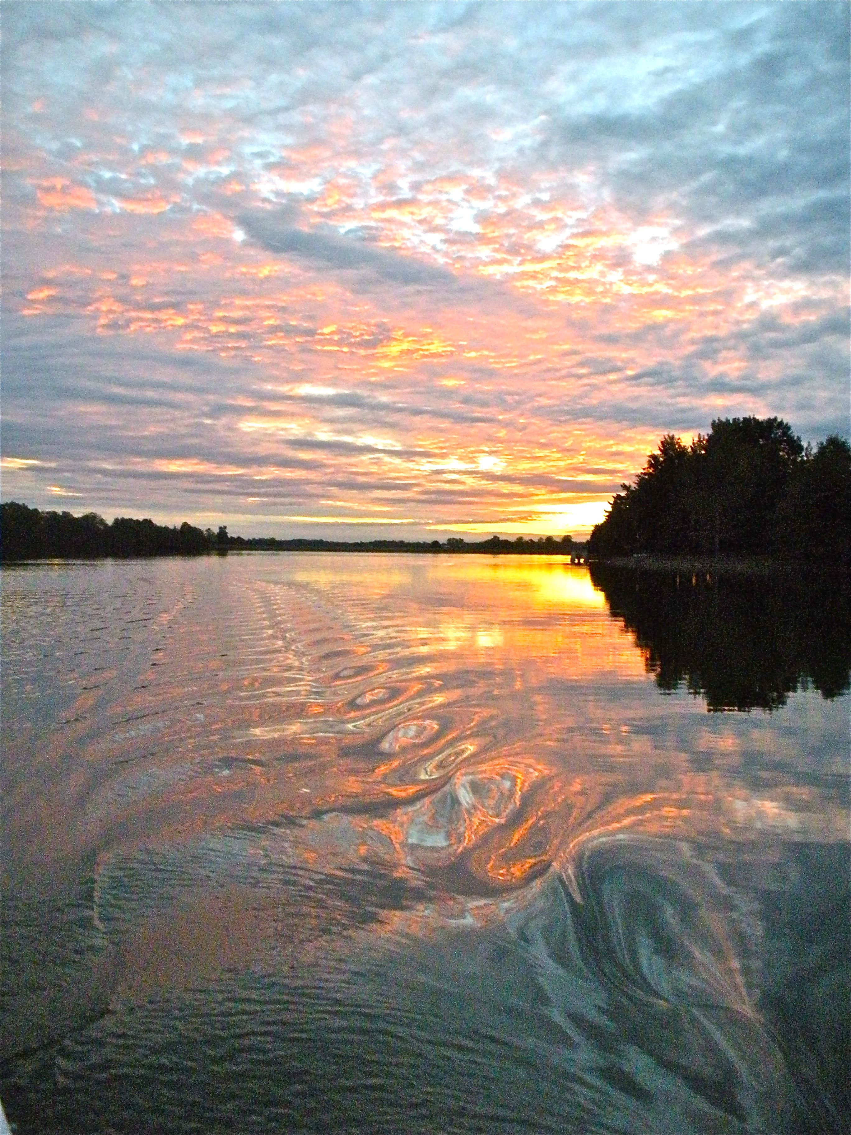
sunset on lake
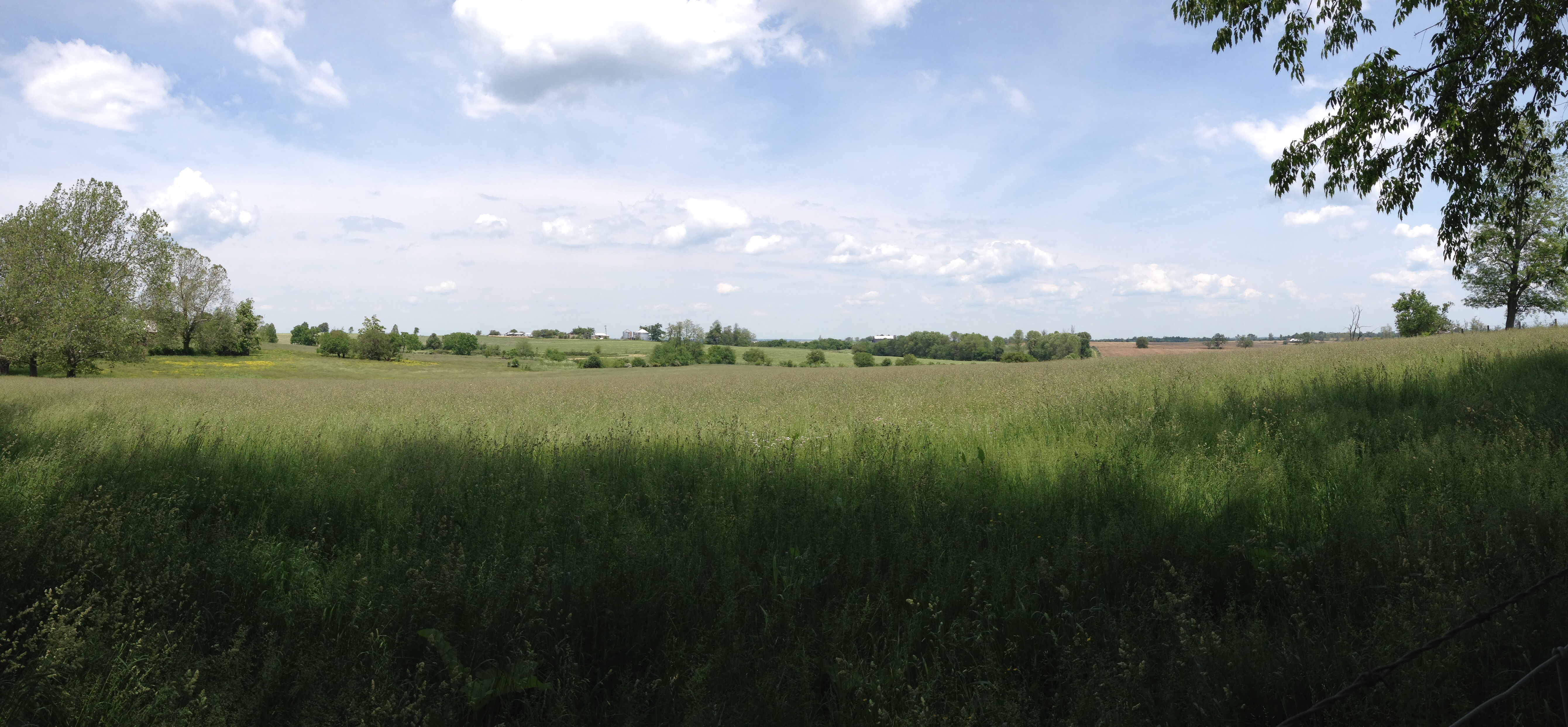
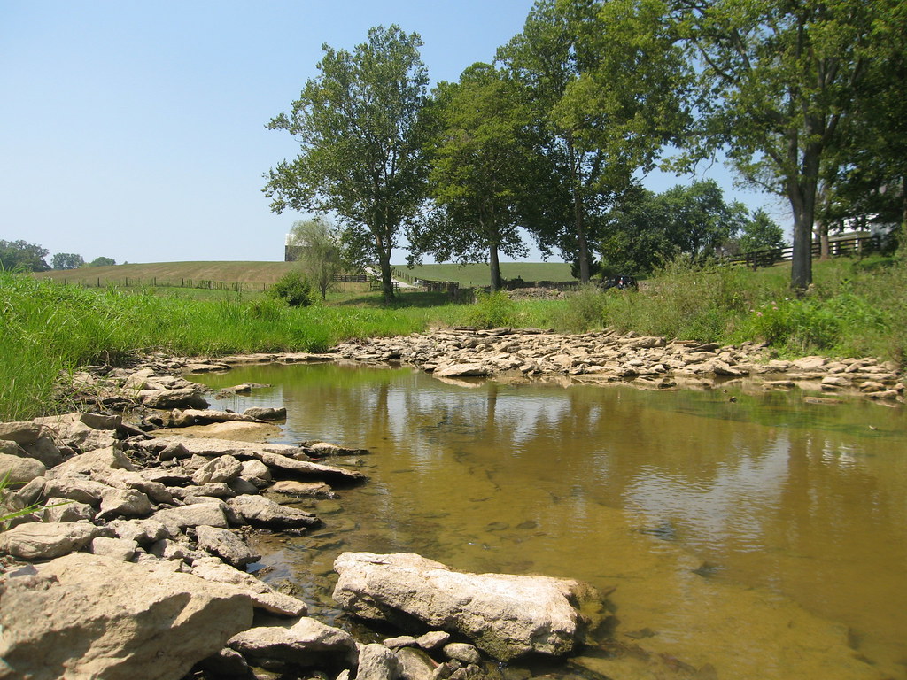
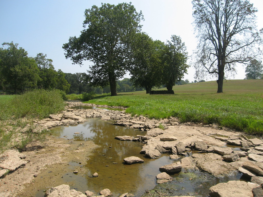
Bourbon County Kentucky Farm
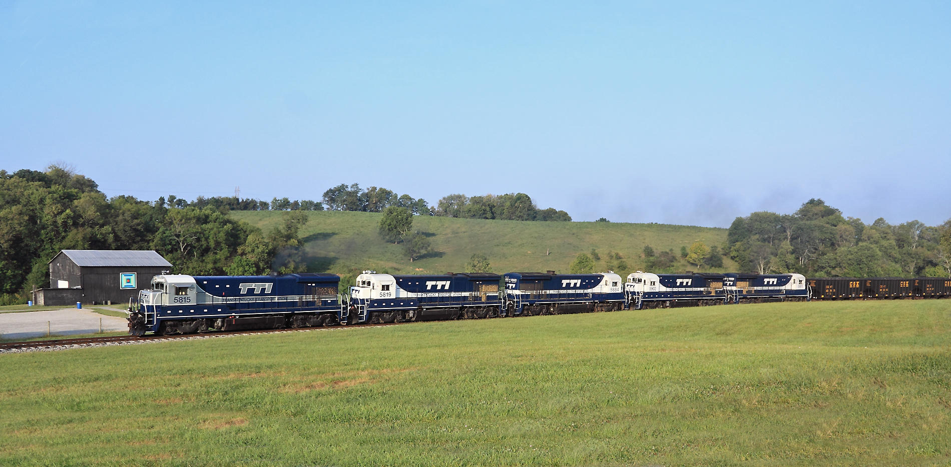
A Northbound passes Brushy Fork Park in Carlisle
A Southbound eases through the back streets of Carlisle

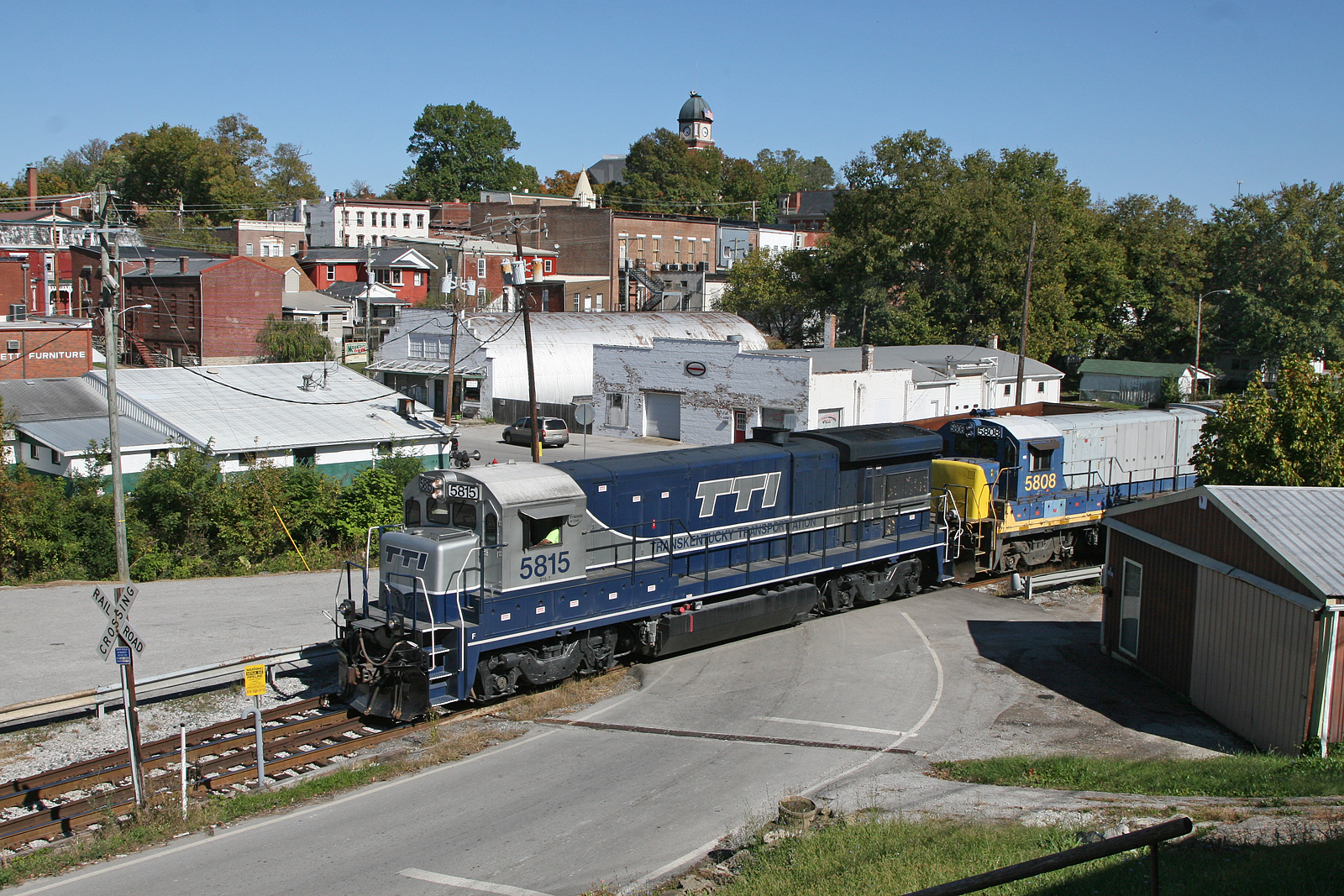
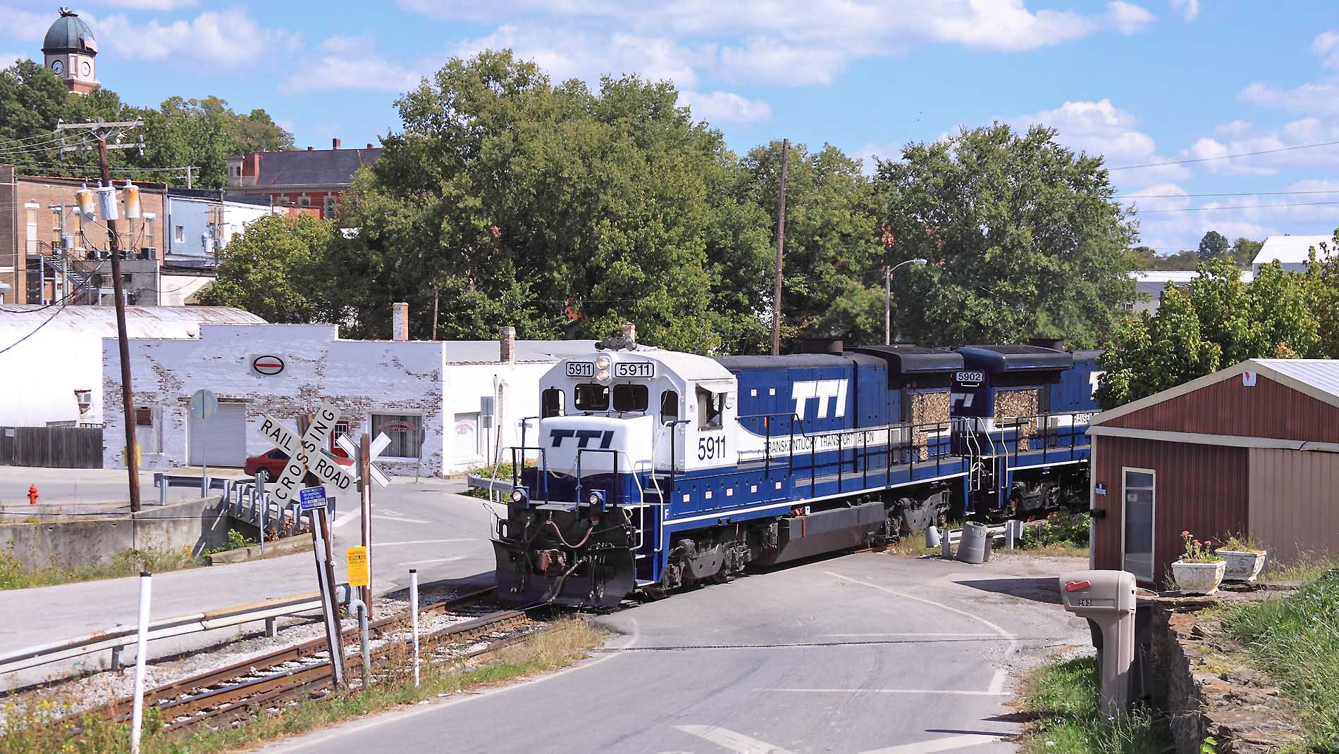
Northbound approaching downtown Carlisle
Meyers, Kentucky
Northbound passing the Carlisle firehouse
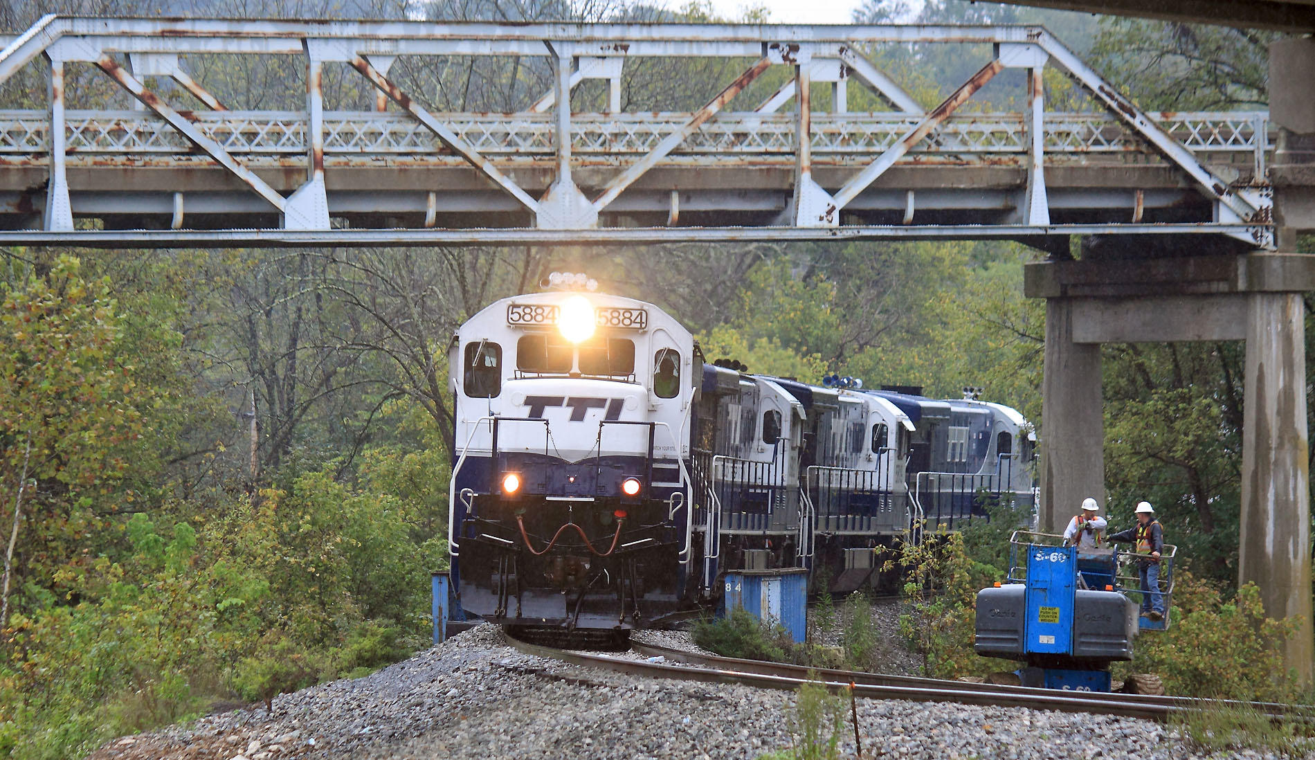
A Southbound creeps through the bridge construction site at Meyers. The old US 32 bridge will come down in November Meyers, Kentucky
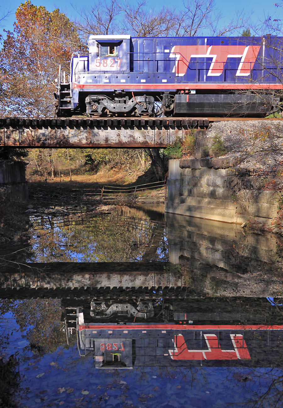
TTI 5827 crosses the Scrubgrass Creek bridge near Meyers, Kentucky
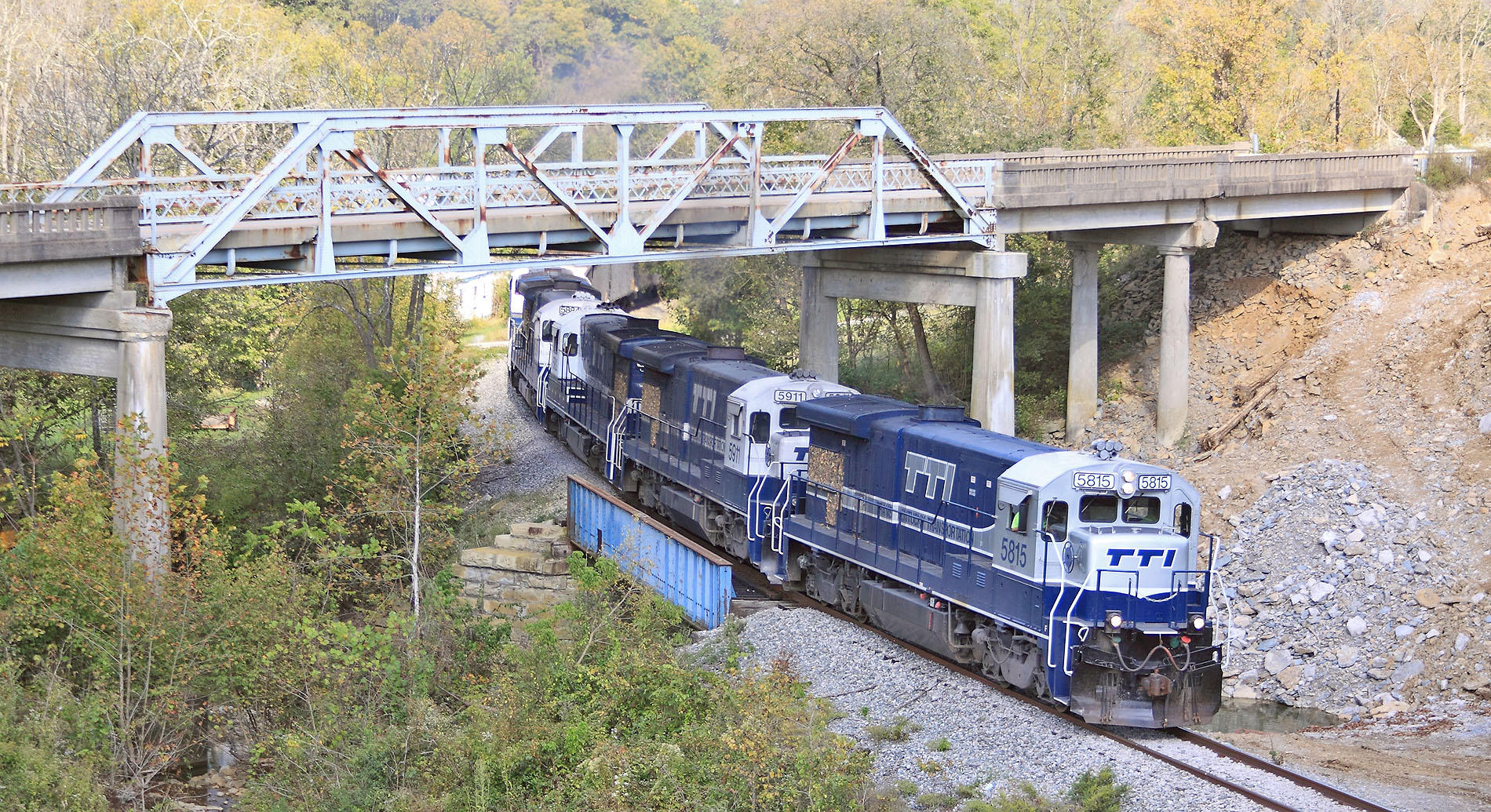
A Northbound grinds up the hill out of Millersburg, Kentucky
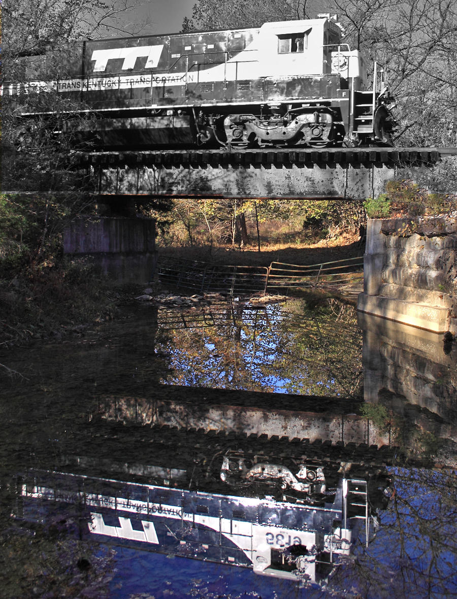
TTI 5819 crosses Scrubgrass creek near Meyers, Kentucky
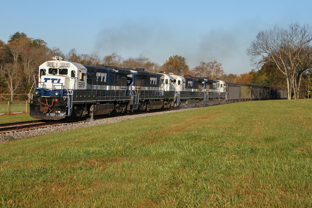
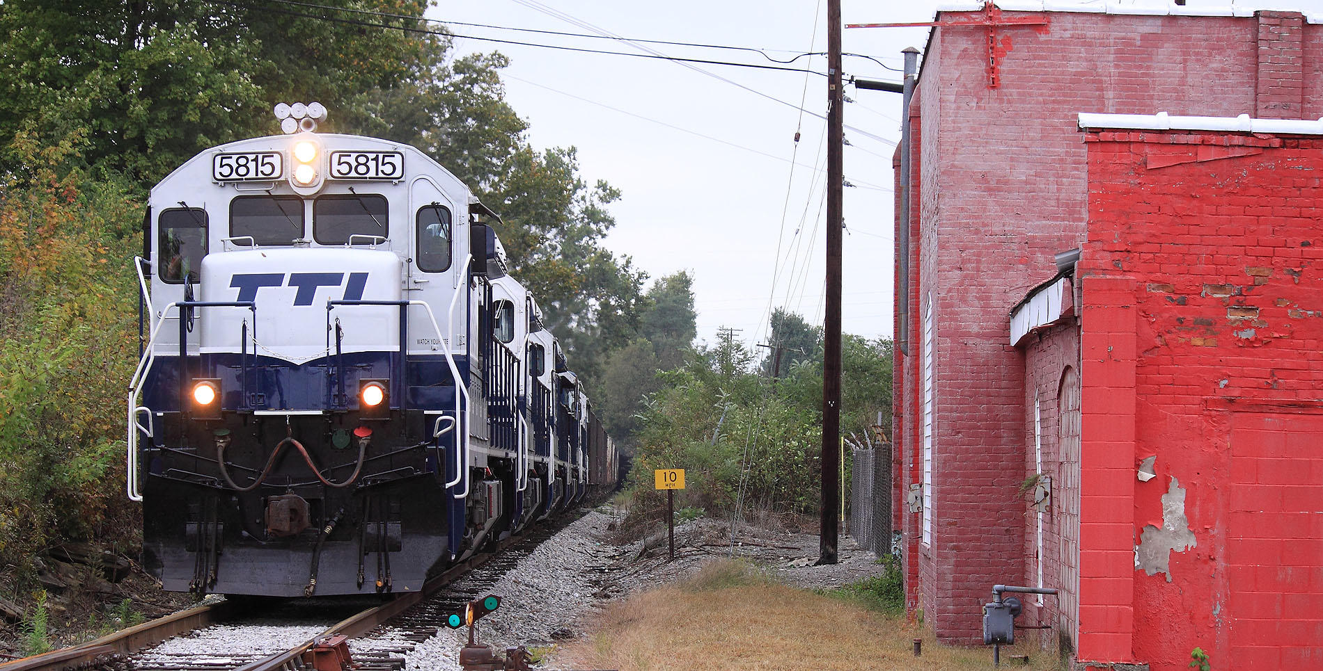
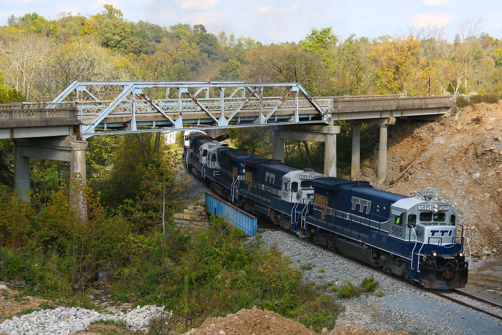
TTI NB Coal @ Carlisle
Highway 32 Again

TTI Coal Train
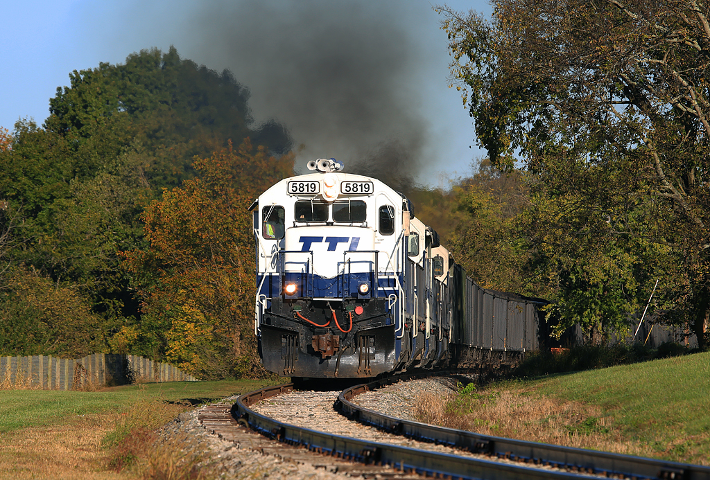
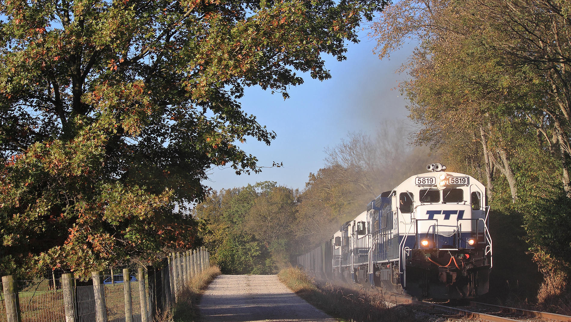
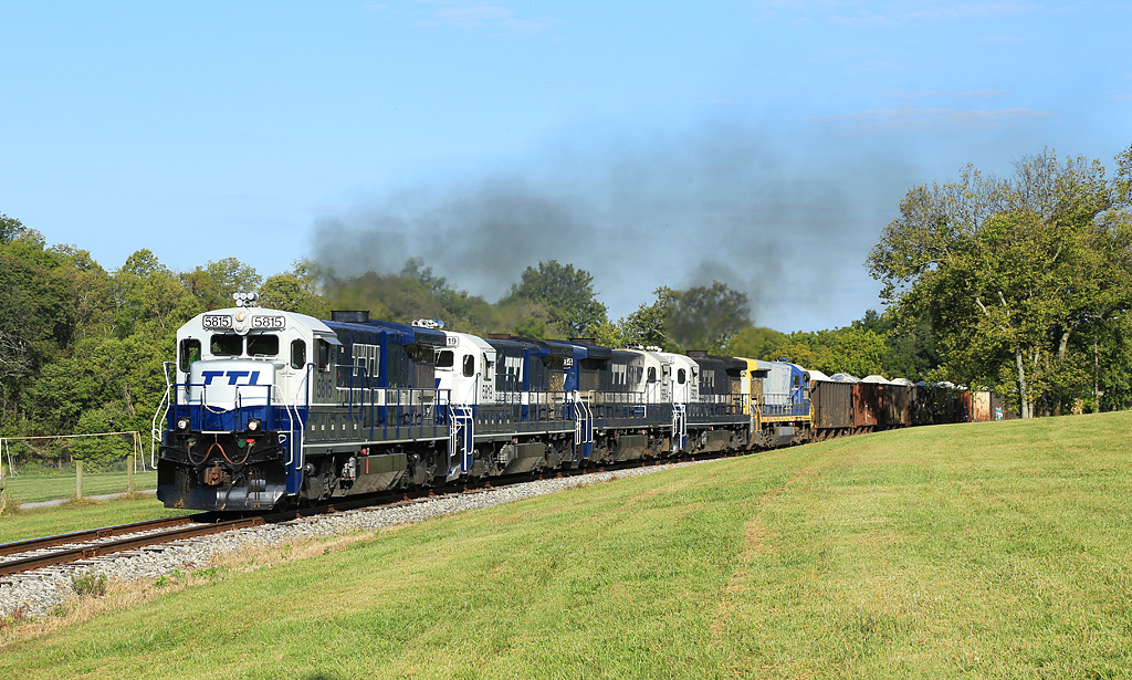
Smokin'
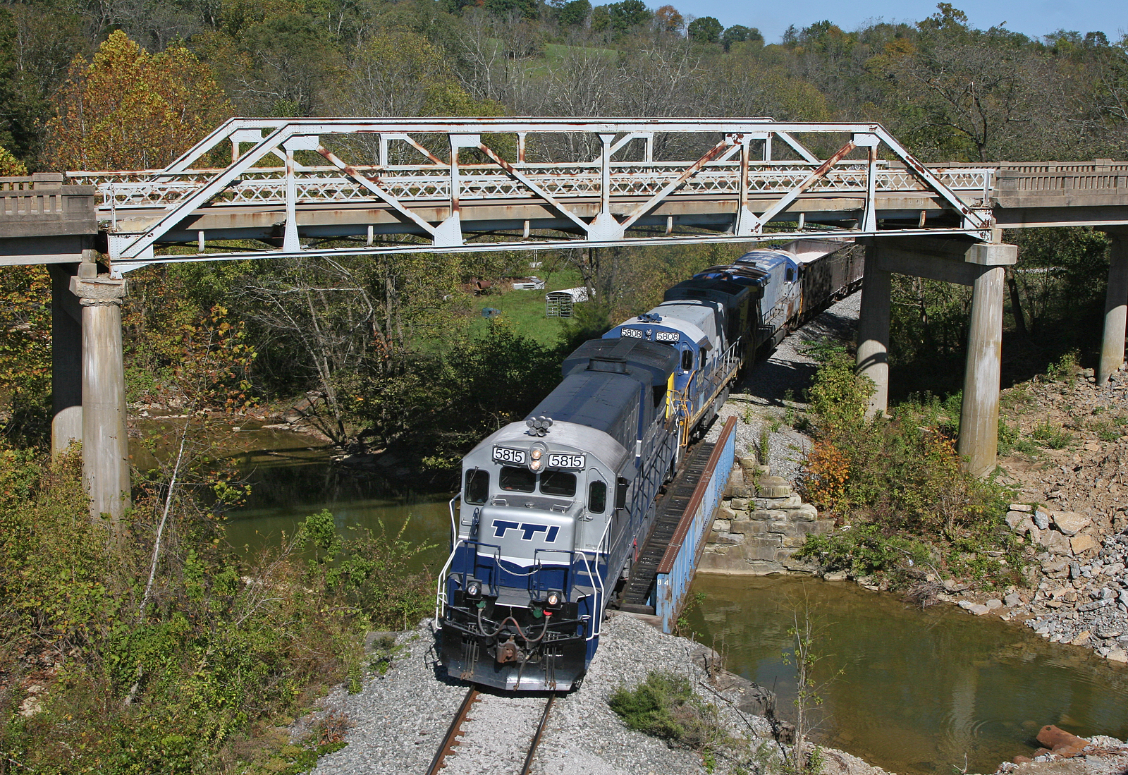
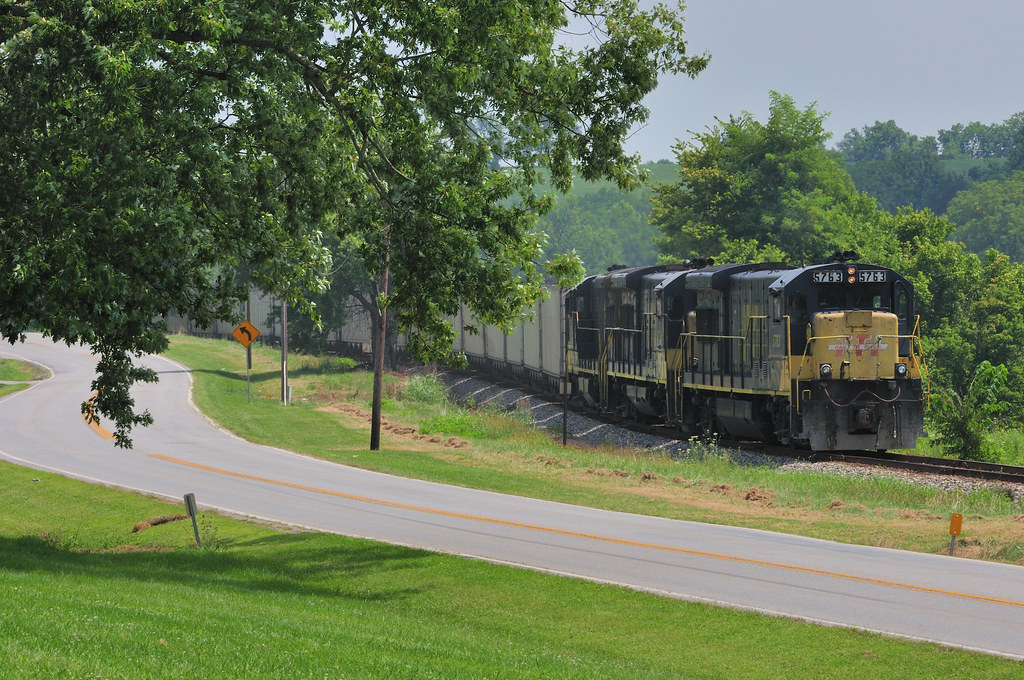
TTI 5815 South, Myers,KY 10/7/2015
I Got Five Broats
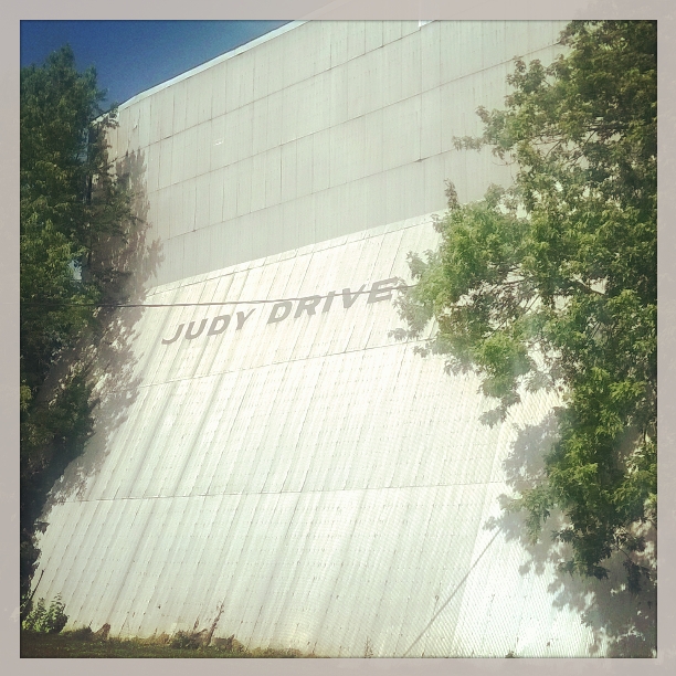
The Judy Drive In -- Mt Sterling, Kentucky
10,800 Horsepower of Awesomeness
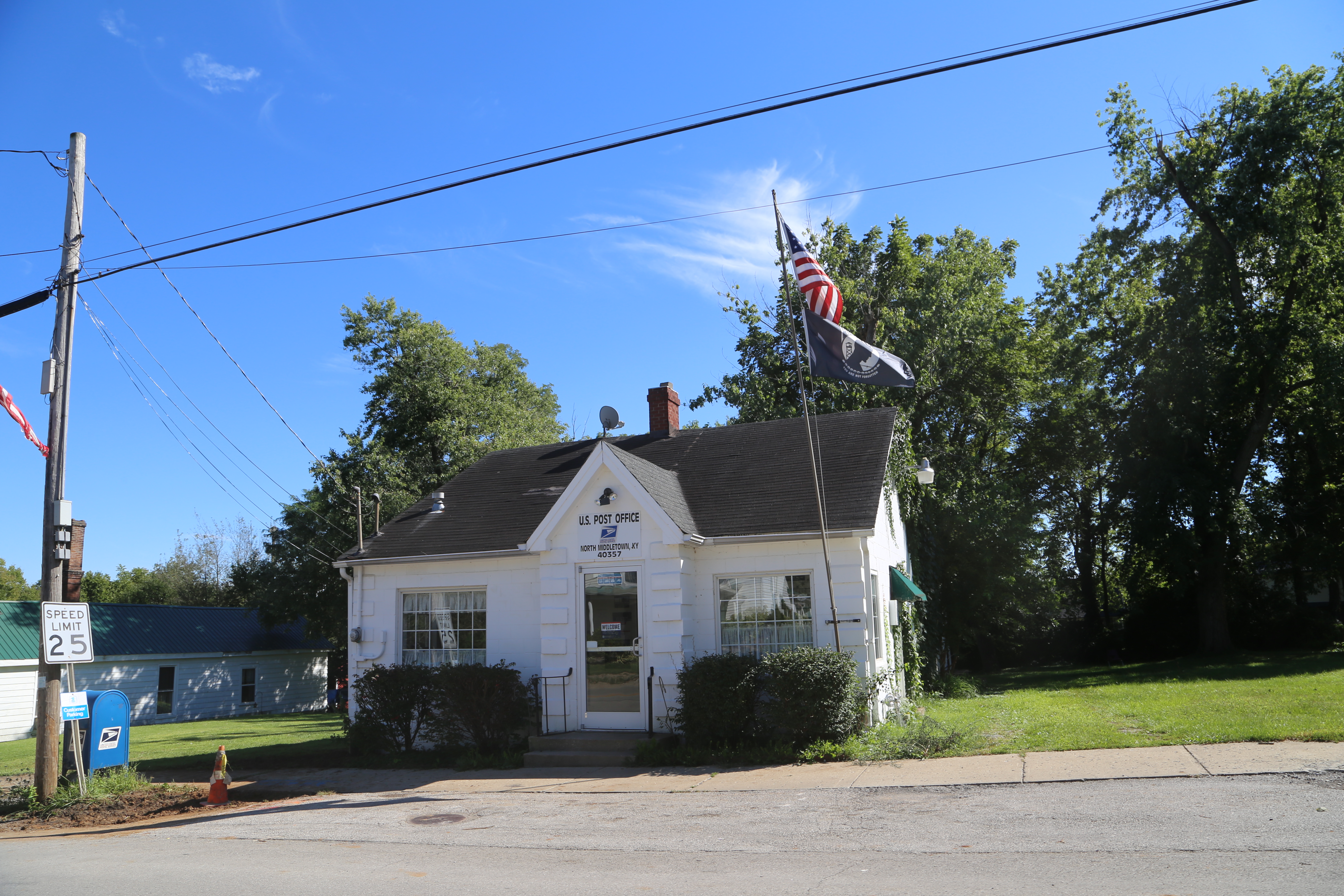
North Middleton Kentucky, Post Office, 40357, Rowan County KY
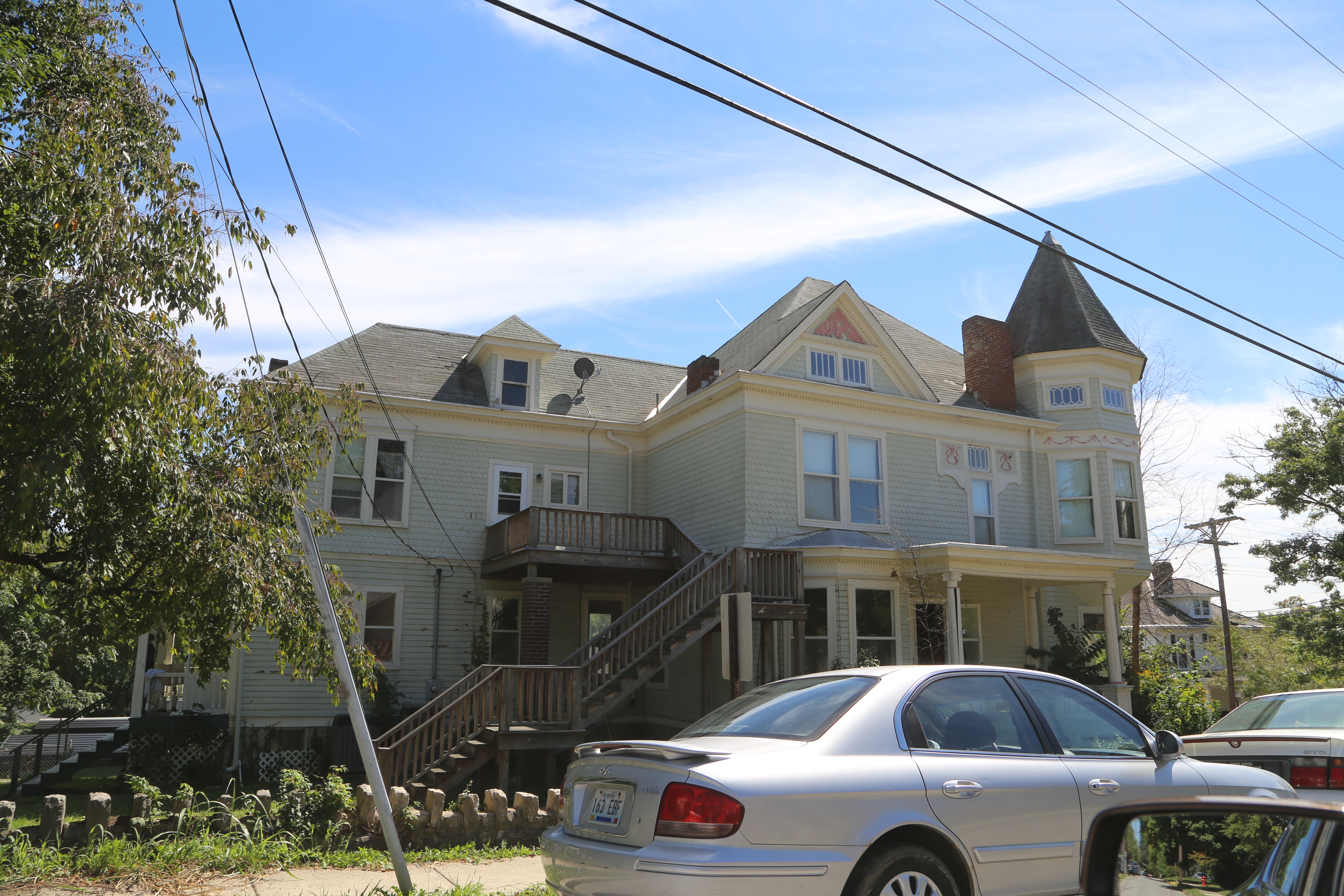
Carlisle Kentucty, Nicholas County KY
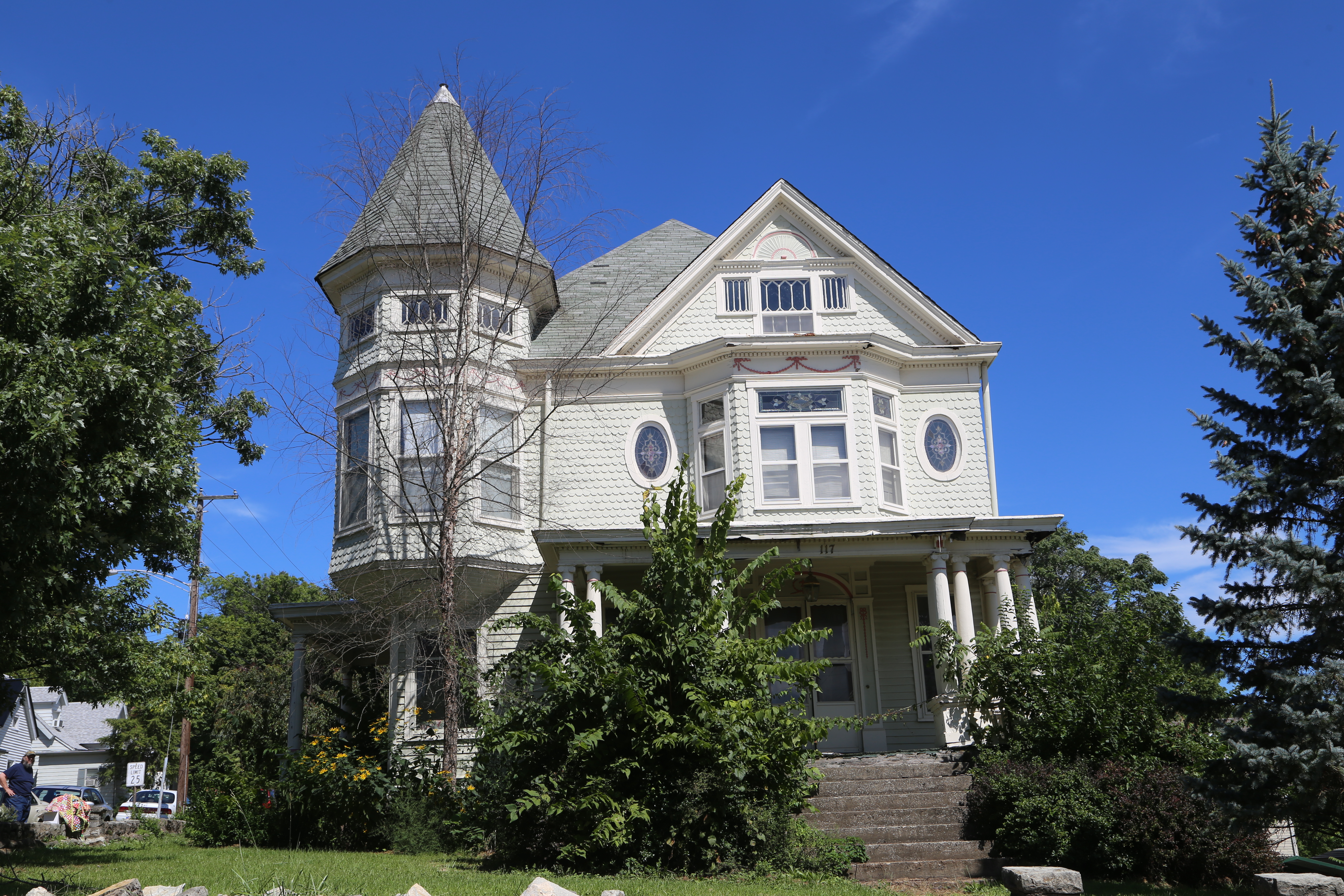
Carlisle Kentucty, Nicholas County KY
Topographic Map of Upper Sharpsburg Rd, Carlisle, KY, USA
Find elevation by address:

Places near Upper Sharpsburg Rd, Carlisle, KY, USA:
Sharpsburg
1821 Cecil Rd
Carlisle
E Main St, Carlisle, KY, USA
424 N Elm St
Bethel Ridge Rd, Sharpsburg, KY, USA
Rolling Hills Road
Five Forks Hill
Mint Ridge Rd, Carlisle, KY, USA
Magnolia Road
Nicholas County
Thatchers Mill Rd, Paris, KY, USA
406 Natalie Dr
85 Laranda Ct
4468 Ky-36
Ashlyn Drive
11 Maysville Ave
Main St, Paris, KY, USA
1222 Osborne Rd
82 Tea Run Rd, Ewing, KY, USA
Recent Searches:
- Elevation of 62 Abbey St, Marshfield, MA, USA
- Elevation of Fernwood, Bradenton, FL, USA
- Elevation of Felindre, Swansea SA5 7LU, UK
- Elevation of Leyte Industrial Development Estate, Isabel, Leyte, Philippines
- Elevation of W Granada St, Tampa, FL, USA
- Elevation of Pykes Down, Ivybridge PL21 0BY, UK
- Elevation of Jalan Senandin, Lutong, Miri, Sarawak, Malaysia
- Elevation of Bilohirs'k
- Elevation of 30 Oak Lawn Dr, Barkhamsted, CT, USA
- Elevation of Luther Road, Luther Rd, Auburn, CA, USA