Elevation of Indian Mound Drive, Indian Mound Dr, Mt Sterling, KY, USA
Location: United States > Kentucky > Montgomery County > Mount Sterling >
Longitude: -83.922879
Latitude: 38.048103
Elevation: 282m / 925feet
Barometric Pressure: 98KPa
Elevation Map:
Satellite Map:
Related Photos:

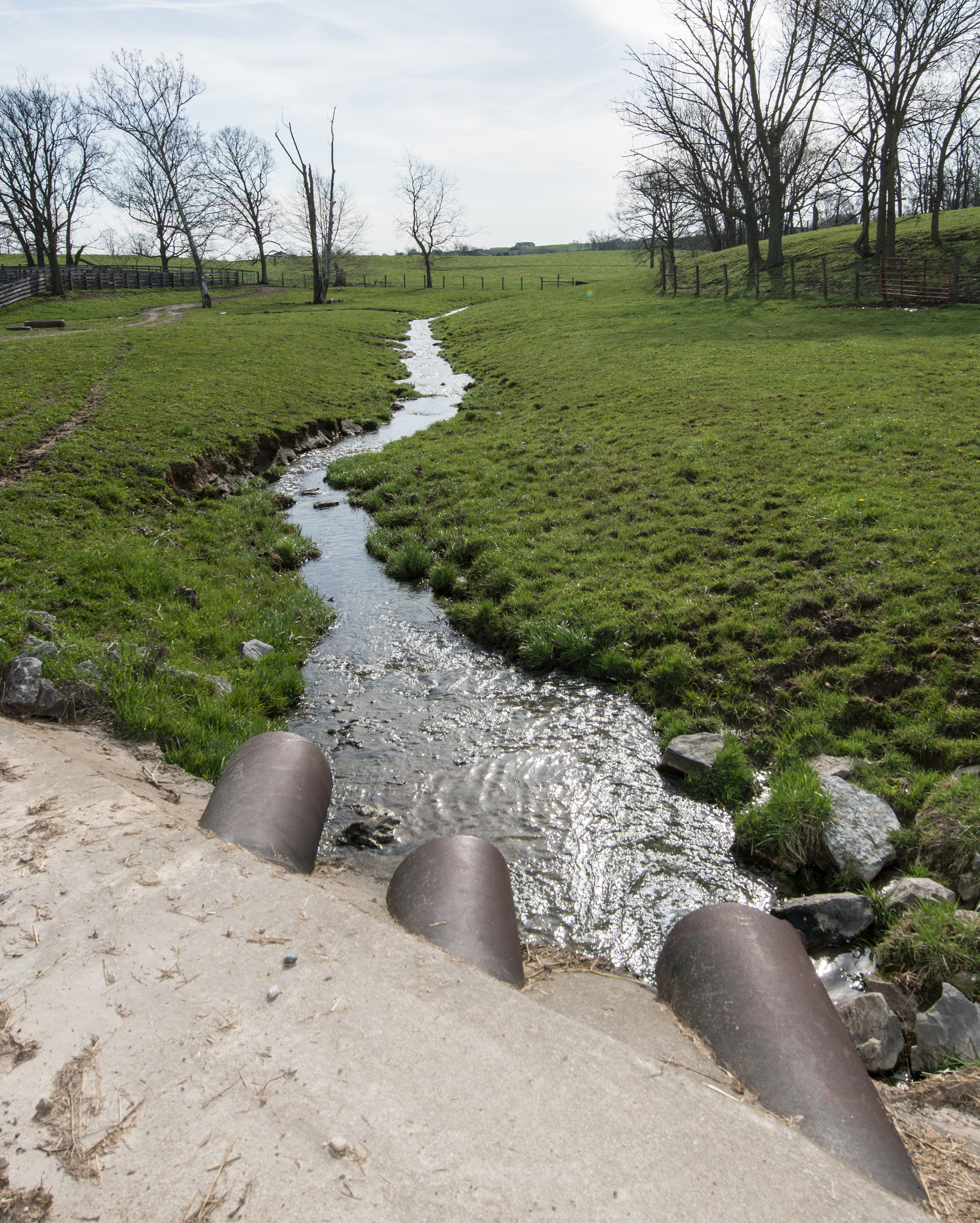
Rolling Thunder

Patent Medicine- Kentucky, Mount Sterling, Syrup of Figs (16,329)

Chesapeake & Ohio Railway, Kentucky, Mount Sterling (13,502b)

Chesapeake & Ohio Railway, Kentucky, Mount Sterling (13,502)

Boone's Overlook

On Pilot Knob.

Morning peace....

Fallin for You

Old #farmhouse in #centralky in B/W

Carolyn's farm

Carolyn's farm

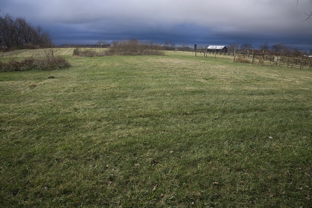
Thunderstorms Over Eastern Kentucky

Home.
20180406-OSEC-LSC-0545

What used to be...

20180406-OSEC-LSC-0163

Passing Landscape near Morehead
Kentucky Fields

Pilot Knob, Kentucky
Topographic Map of Indian Mound Drive, Indian Mound Dr, Mt Sterling, KY, USA
Find elevation by address:

Places near Indian Mound Drive, Indian Mound Dr, Mt Sterling, KY, USA:
Camargo Rd, Mt Sterling, KY, USA
Mount Sterling
1222 Osborne Rd
Ashlyn Drive
11 Maysville Ave
406 Natalie Dr
Montgomery County
131 Lakeview Dr
131 Lakeview Dr
Winchester Rd, Mt Sterling, KY, USA
Prewitt Pike, Mt Sterling, KY, USA
55 View Ln
Jeffersonville
Main St, Jeffersonville, KY, USA
85 Laranda Ct
1500 New Cut Rd
Custom Food Products Inc
Preston Rd, Owingsville, KY, USA
Haven Road
Bath County
Recent Searches:
- Elevation of Slanický ostrov, 01 Námestovo, Slovakia
- Elevation of Spaceport America, Co Rd A, Truth or Consequences, NM, USA
- Elevation of Warwick, RI, USA
- Elevation of Fern Rd, Whitmore, CA, USA
- Elevation of 62 Abbey St, Marshfield, MA, USA
- Elevation of Fernwood, Bradenton, FL, USA
- Elevation of Felindre, Swansea SA5 7LU, UK
- Elevation of Leyte Industrial Development Estate, Isabel, Leyte, Philippines
- Elevation of W Granada St, Tampa, FL, USA
- Elevation of Pykes Down, Ivybridge PL21 0BY, UK