Elevation of Ashlyn Drive, Ashlyn Dr, Mt Sterling, KY, USA
Location: United States > Kentucky > Montgomery County > Mount Sterling >
Longitude: -83.938111
Latitude: 38.067203
Elevation: 298m / 978feet
Barometric Pressure: 98KPa
Elevation Map:
Satellite Map:
Related Photos:

Rolling Thunder

Kentucky, Mount Sterling, Syrup of Figs (16,329)
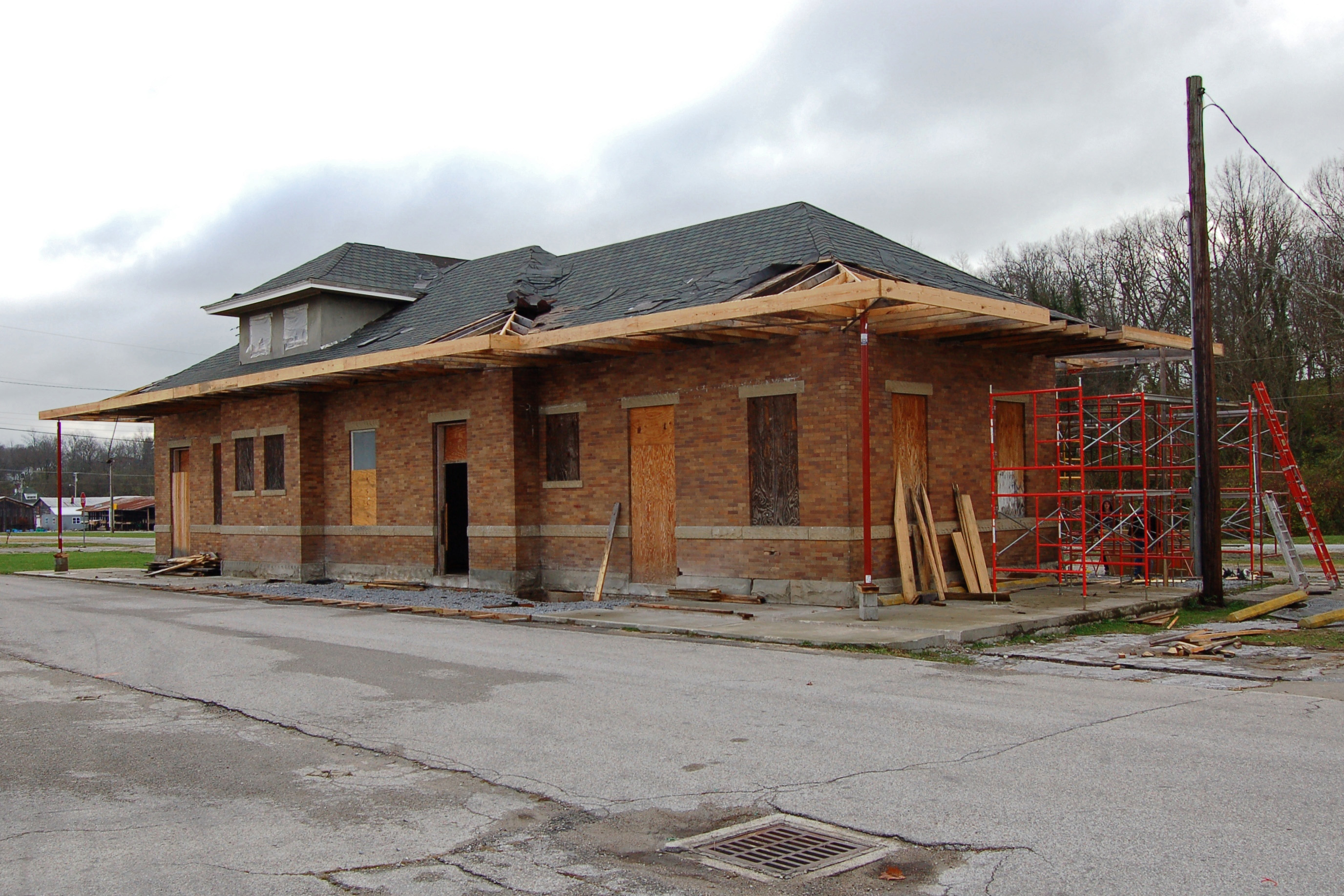
Chesapeake & Ohio Railway, Kentucky, Mount Sterling (13,502)
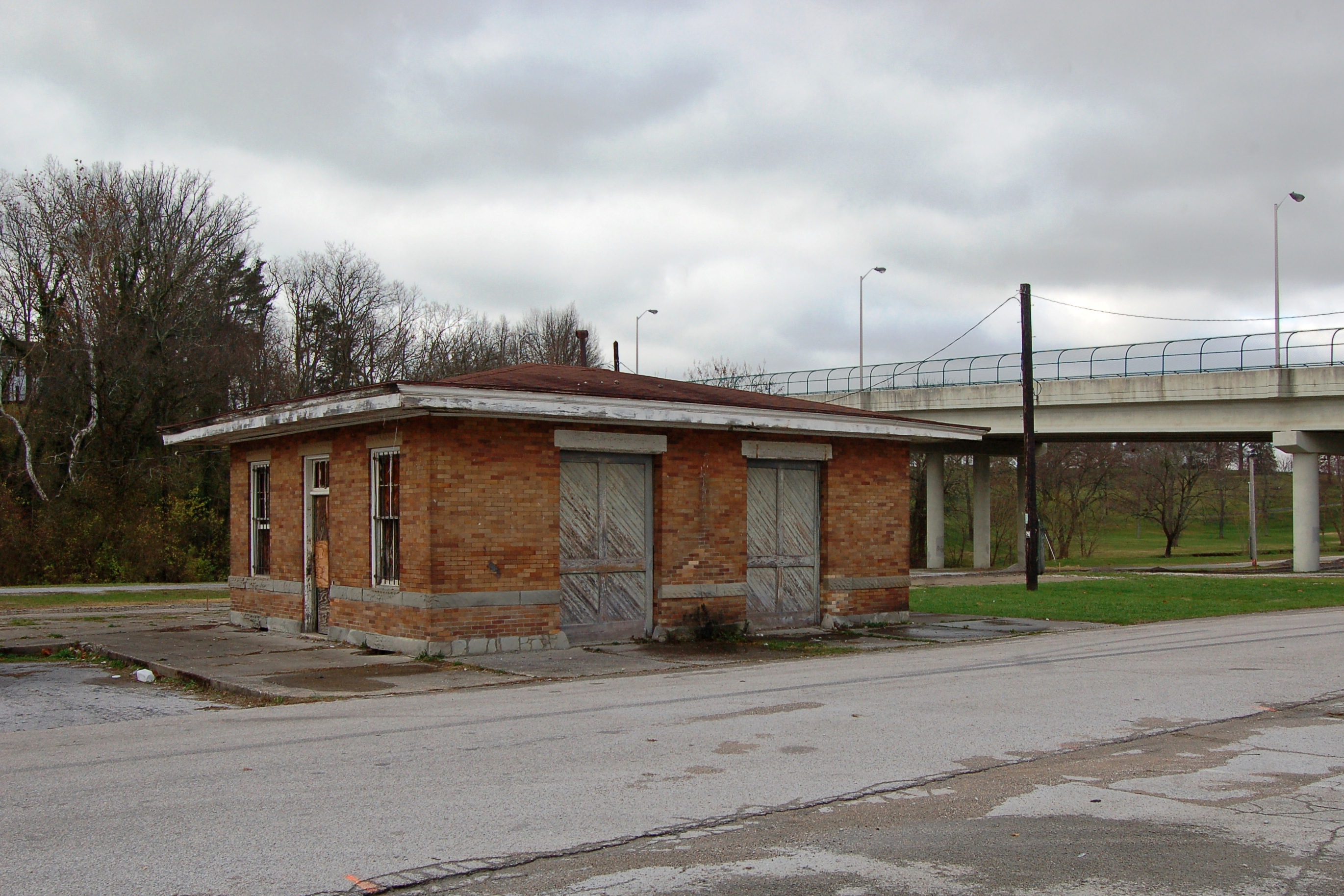
Chesapeake & Ohio Railway, Kentucky, Mount Sterling (13,502b)

What used to be...
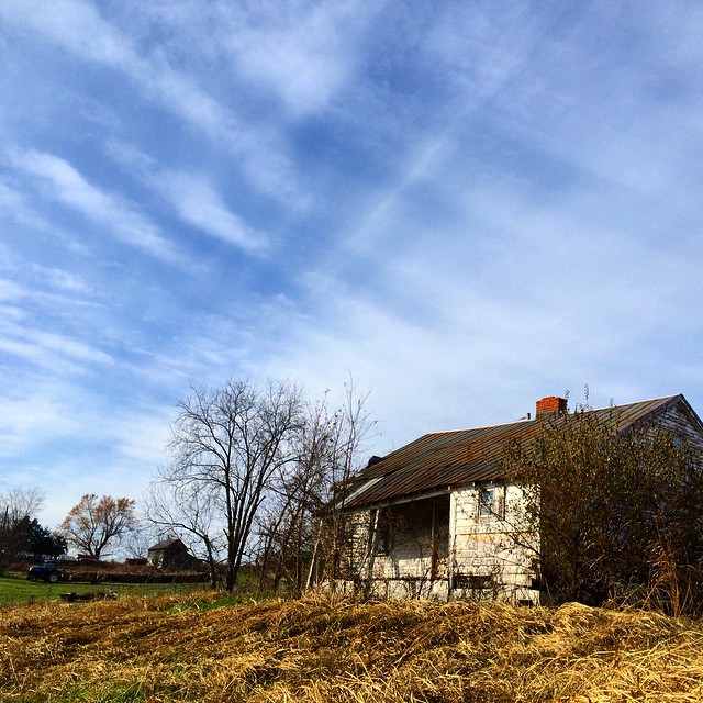
Old #farmhouse in #centralky original shot in color #sky #clouds

Beautiful Day in Kentucky :-)
Fallin for You
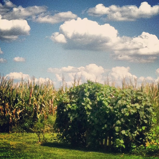
Pretty clouds, pretty grape vines, pretty corn.
Carolyn's farm
Home.

Carolyn's farm

Thunderstorms Over Eastern Kentucky
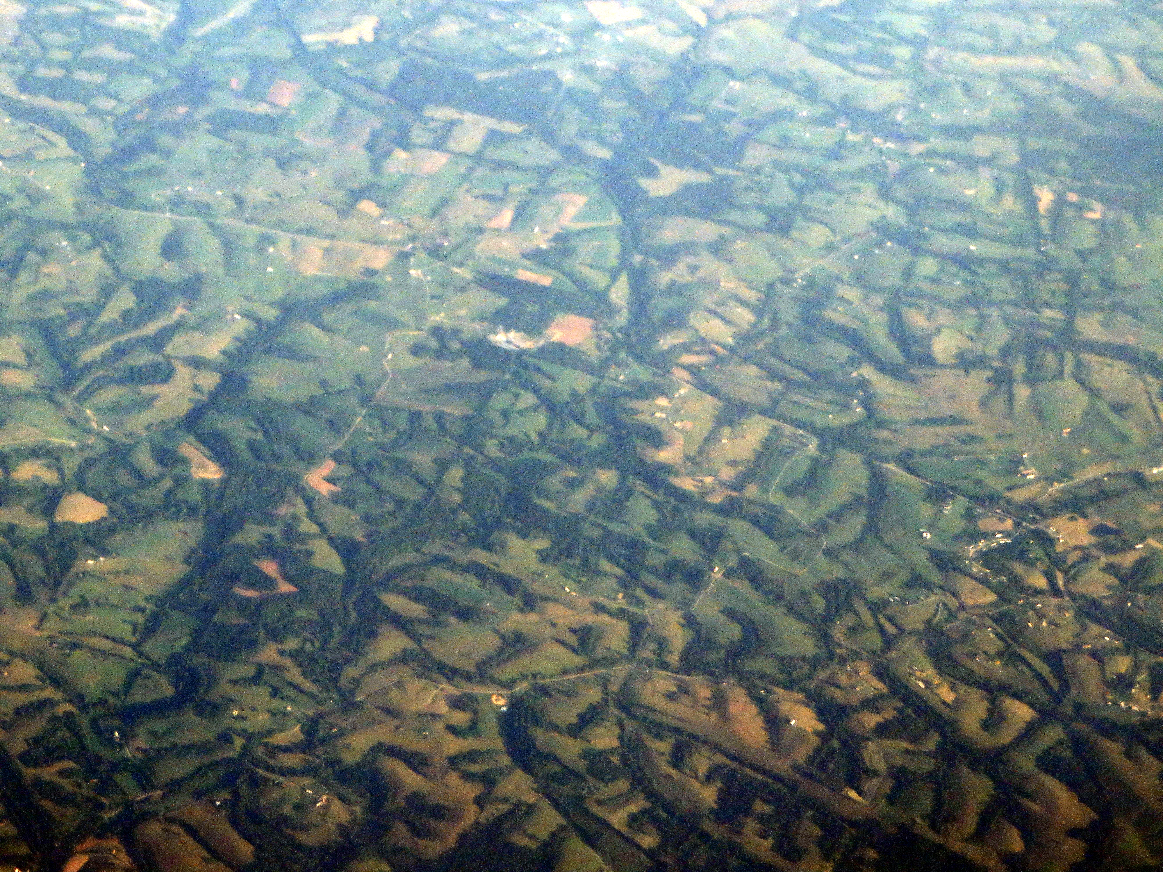
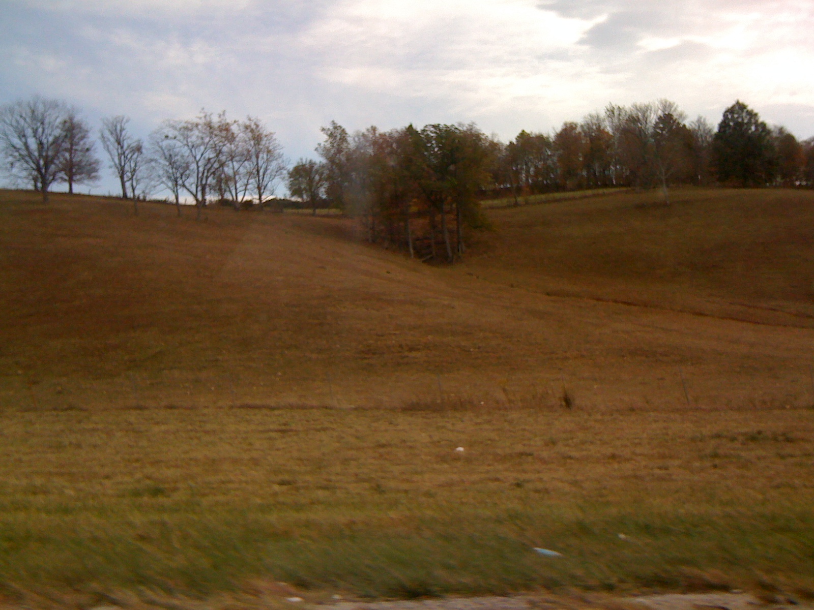
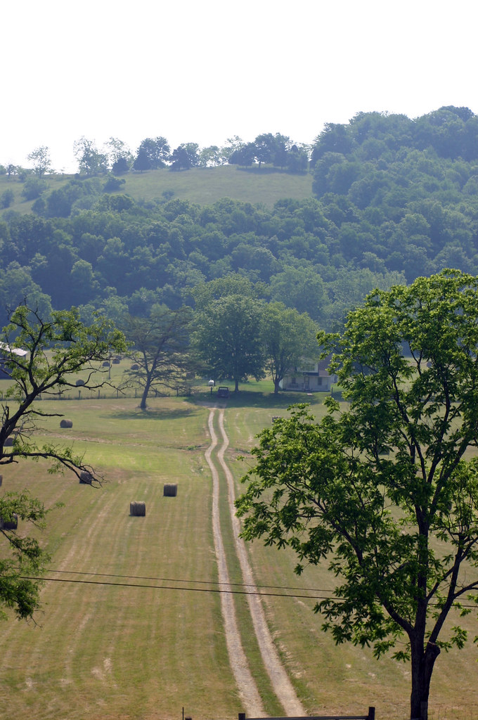
Landscape Just West of Mount Sterling, Kentucky
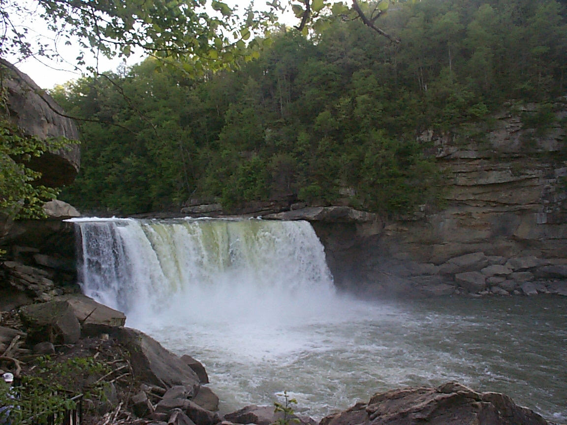
Cumberland Falls

Cumberland Falls
Edward Boone's Grave
Edward Boone's Grave
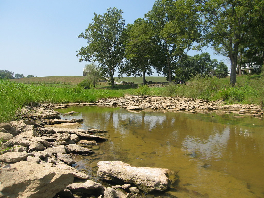
Passing Landscape near Morehead
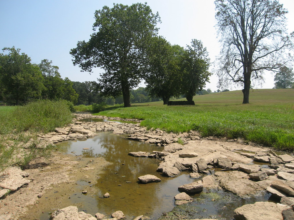
There is a crook in my path
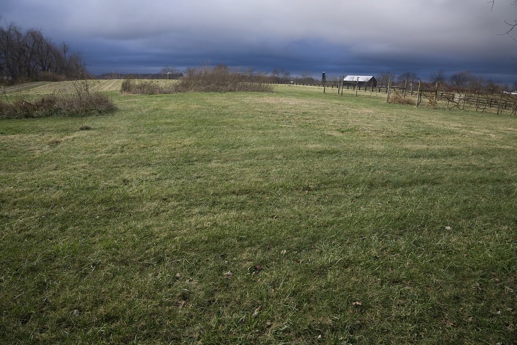
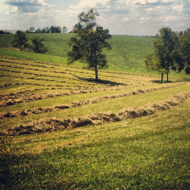
Kentucky Fields
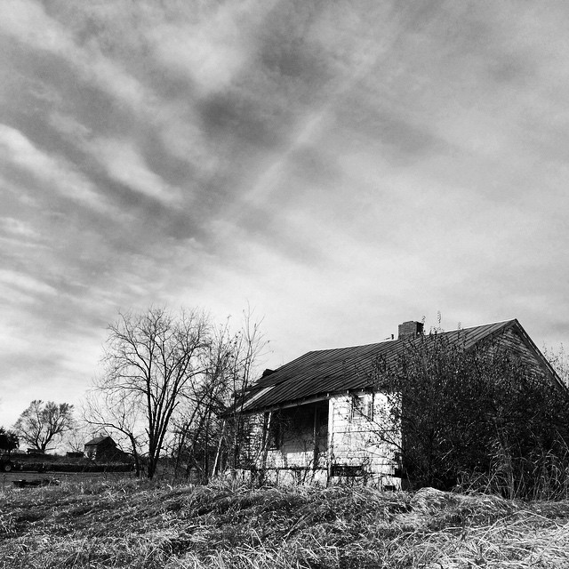
Old #farmhouse in #centralky in B/W
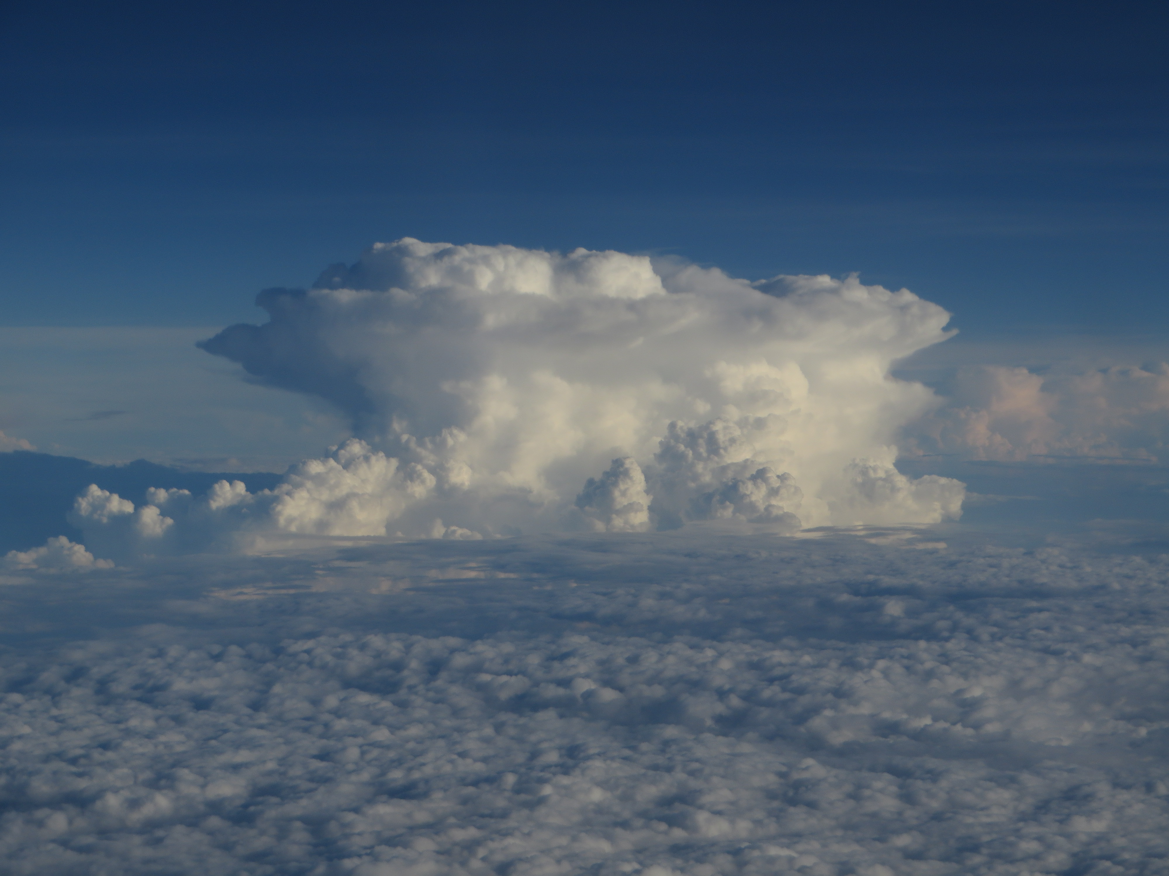
Thunderstorms Over Eastern Kentucky
Topographic Map of Ashlyn Drive, Ashlyn Dr, Mt Sterling, KY, USA
Find elevation by address:

Places near Ashlyn Drive, Ashlyn Dr, Mt Sterling, KY, USA:
11 Maysville Ave
Mount Sterling
406 Natalie Dr
Indian Mound Drive
1222 Osborne Rd
Camargo Rd, Mt Sterling, KY, USA
Winchester Rd, Mt Sterling, KY, USA
131 Lakeview Dr
131 Lakeview Dr
Montgomery County
Prewitt Pike, Mt Sterling, KY, USA
55 View Ln
85 Laranda Ct
Jeffersonville
Main St, Jeffersonville, KY, USA
1500 New Cut Rd
Custom Food Products Inc
Preston Rd, Owingsville, KY, USA
Haven Road
Bath County
Recent Searches:
- Elevation of Woolwine, VA, USA
- Elevation of Lumagwas Diversified Farmers Multi-Purpose Cooperative, Lumagwas, Adtuyon, RV32+MH7, Pangantucan, Bukidnon, Philippines
- Elevation of Homestead Ridge, New Braunfels, TX, USA
- Elevation of Orchard Road, Orchard Rd, Marlborough, NY, USA
- Elevation of 12 Hutchinson Woods Dr, Fletcher, NC, USA
- Elevation of Holloway Ave, San Francisco, CA, USA
- Elevation of Norfolk, NY, USA
- Elevation of - San Marcos Pass Rd, Santa Barbara, CA, USA
- Elevation of th Pl SE, Issaquah, WA, USA
- Elevation of 82- D Rd, Captain Cook, HI, USA