Elevation of 55 View Ln, Mt Sterling, KY, USA
Location: United States > Kentucky > Montgomery County > Mount Sterling >
Longitude: -83.953624
Latitude: 37.9746662
Elevation: 298m / 978feet
Barometric Pressure: 98KPa
Elevation Map:
Satellite Map:
Related Photos:

Organ 2

Boone's Overlook

Patent Medicine- Kentucky, Mount Sterling, Syrup of Figs (16,329)

Chesapeake & Ohio Railway, Kentucky, Mount Sterling (13,502)

Chesapeake & Ohio Railway, Kentucky, Mount Sterling (13,502b)

Morning peace....

On Pilot Knob.

Thunderstorms Over Eastern Kentucky
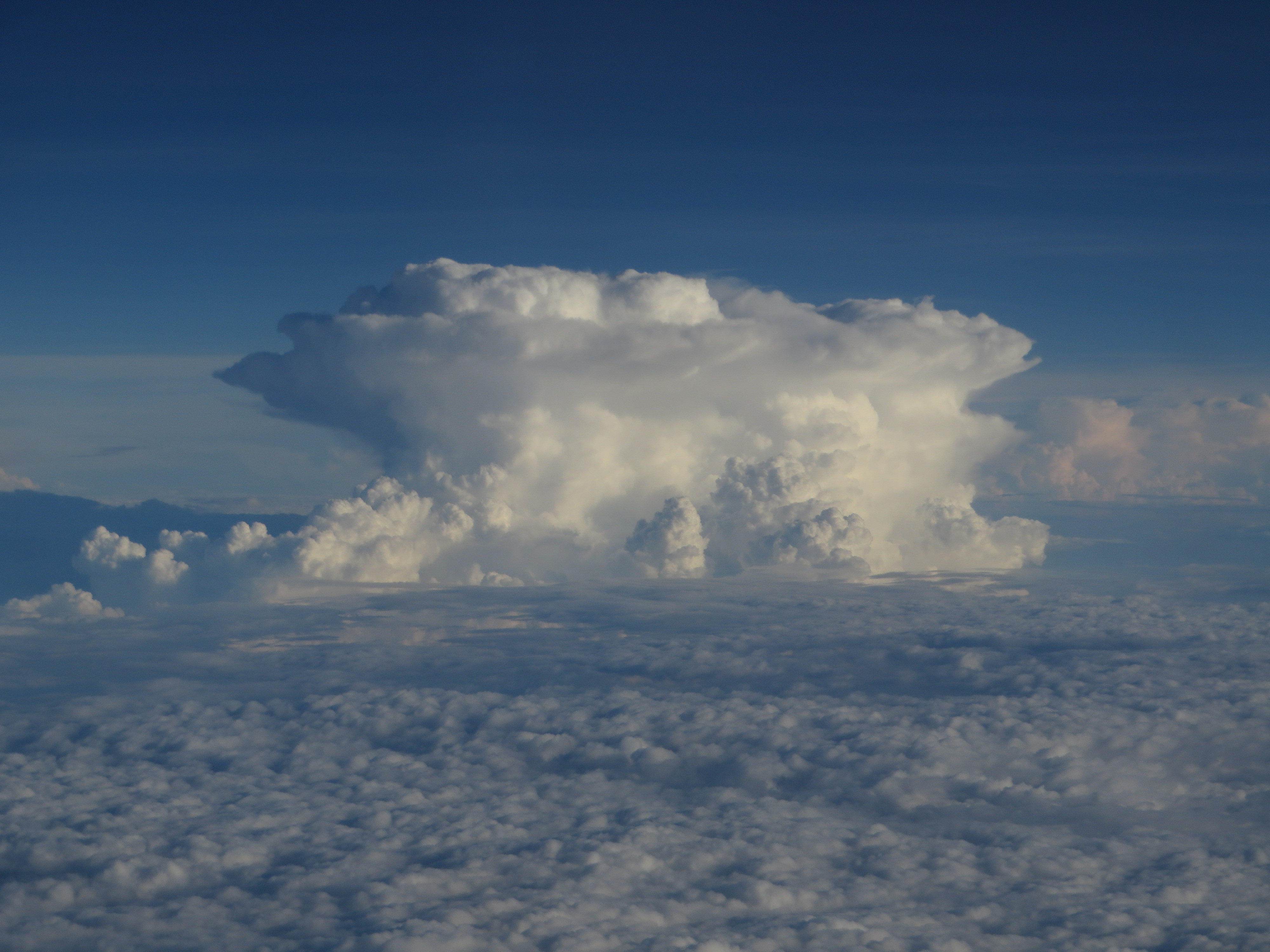
Thunderstorms Over Eastern Kentucky

Pilot Knob, Kentucky

20180406-OSEC-LSC-0557

20180406-OSEC-LSC-0163

Landscape Just West of Mount Sterling, Kentucky

20180406-OSEC-LSC-0428

Kentucky Fields

Home.
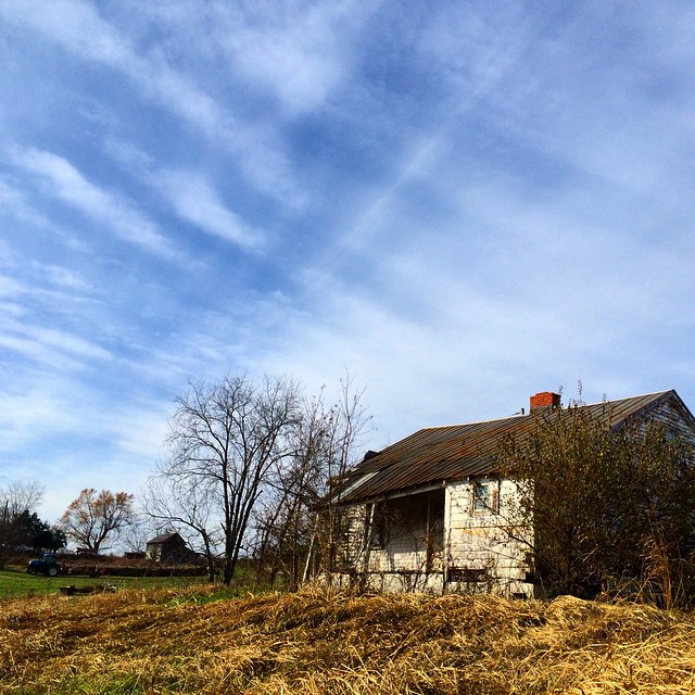
Old #farmhouse in #centralky original shot in color #sky #clouds

Pretty clouds, pretty grape vines, pretty corn.

Passing Landscape near Morehead

Cumberland Falls

Carolyn's farm

Cumberland Falls

Carolyn's farm

Old #farmhouse in #centralky in B/W

Mountain Parkway
Topographic Map of 55 View Ln, Mt Sterling, KY, USA
Find elevation by address:

Places near 55 View Ln, Mt Sterling, KY, USA:
Prewitt Pike, Mt Sterling, KY, USA
Camargo Rd, Mt Sterling, KY, USA
Winchester Rd, Mt Sterling, KY, USA
Indian Mound Drive
Mount Sterling
Montgomery County
11 Maysville Ave
Ashlyn Drive
1222 Osborne Rd
406 Natalie Dr
Jeffersonville
Main St, Jeffersonville, KY, USA
131 Lakeview Dr
131 Lakeview Dr
1500 New Cut Rd
85 Laranda Ct
Haven Road
Preston Rd, Owingsville, KY, USA
Custom Food Products Inc
Bath County
Recent Searches:
- Elevation of Congressional Dr, Stevensville, MD, USA
- Elevation of Bellview Rd, McLean, VA, USA
- Elevation of Stage Island Rd, Chatham, MA, USA
- Elevation of Shibuya Scramble Crossing, 21 Udagawacho, Shibuya City, Tokyo -, Japan
- Elevation of Jadagoniai, Kaunas District Municipality, Lithuania
- Elevation of Pagonija rock, Kranto 7-oji g. 8"N, Kaunas, Lithuania
- Elevation of Co Rd 87, Jamestown, CO, USA
- Elevation of Tenjo, Cundinamarca, Colombia
- Elevation of Côte-des-Neiges, Montreal, QC H4A 3J6, Canada
- Elevation of Bobcat Dr, Helena, MT, USA