Elevation of Casmalia, CA, USA
Location: United States > California > Santa Barbara County >
Longitude: -120.53151
Latitude: 34.8375116
Elevation: 83m / 272feet
Barometric Pressure: 100KPa
Elevation Map:
Satellite Map:
Related Photos:

Straight Rows
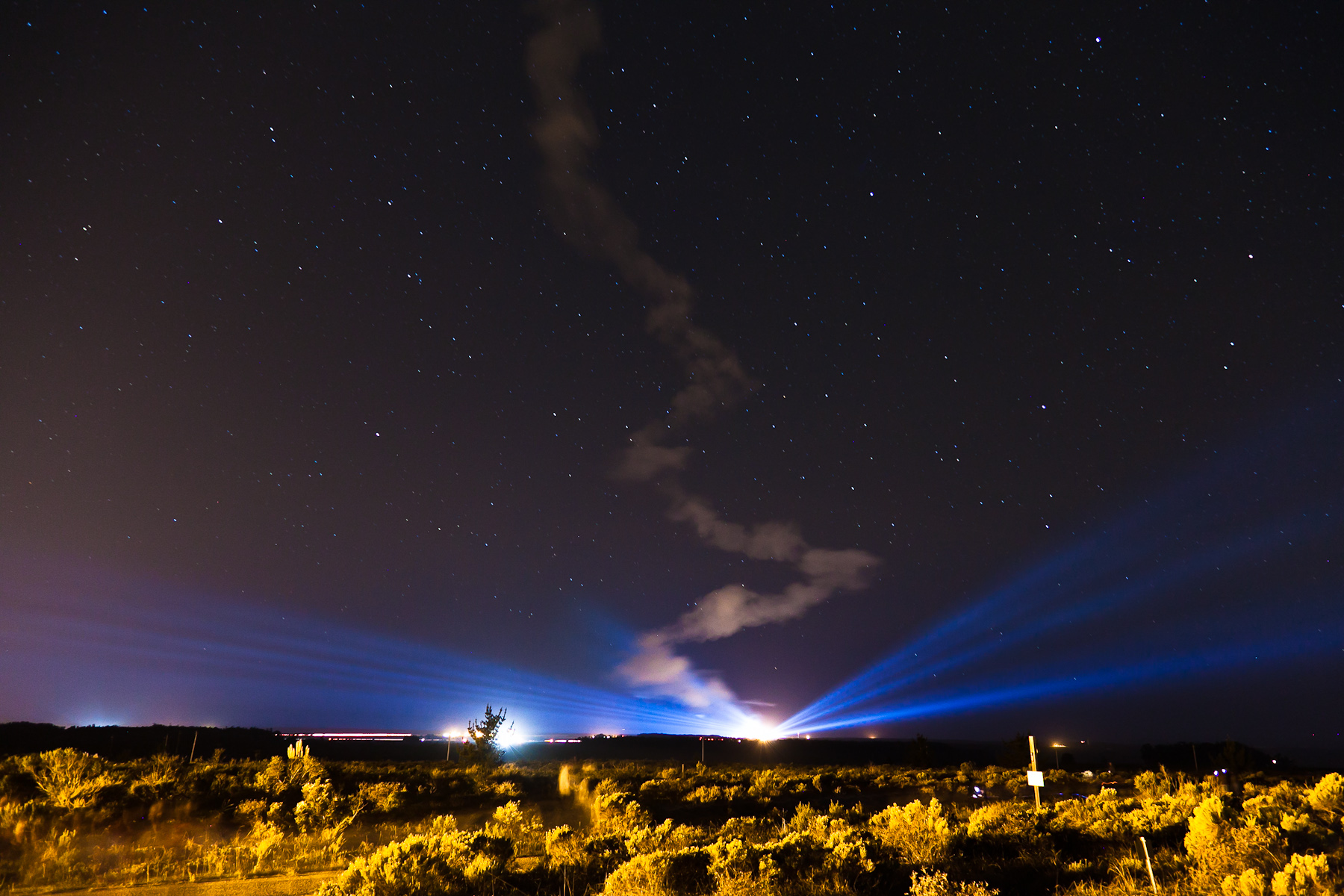
Ad Astra

NASA's OCO-2 satellite launch tonight had to be rescheduled 24 hours due to a cooling system issue. "@IamOCO2: So disappointed that we didn't go. Same time same place tomorrow folks! _#OCO2"_#NASASocial#
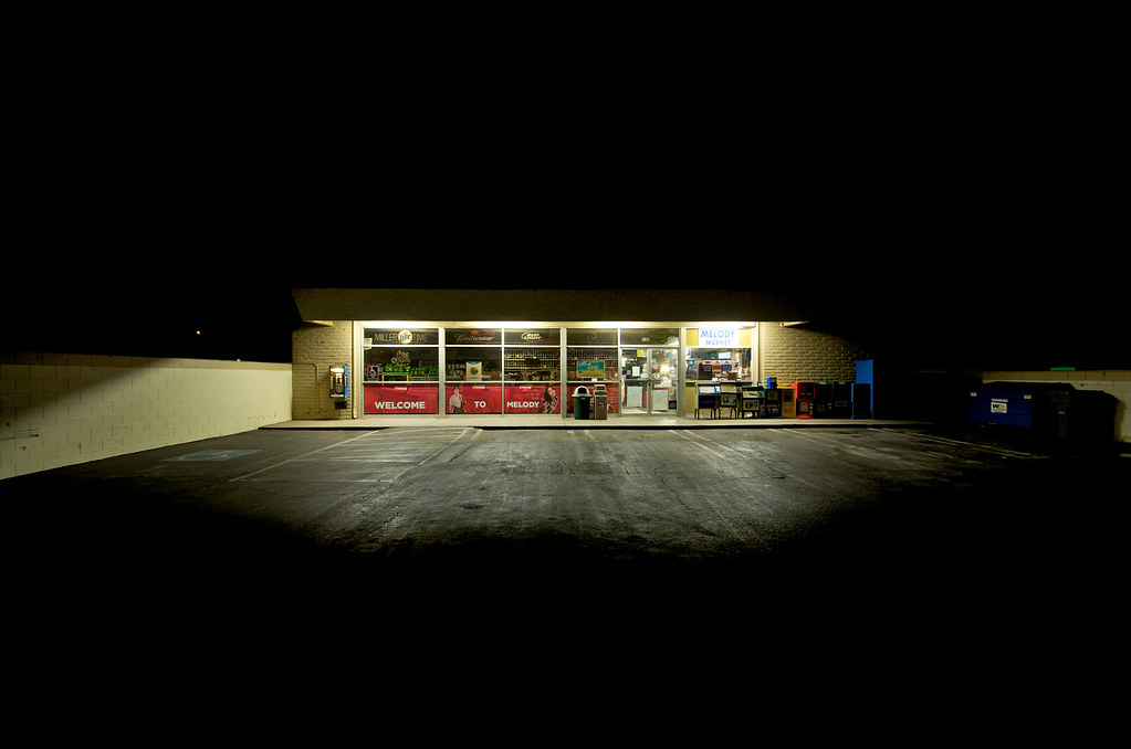
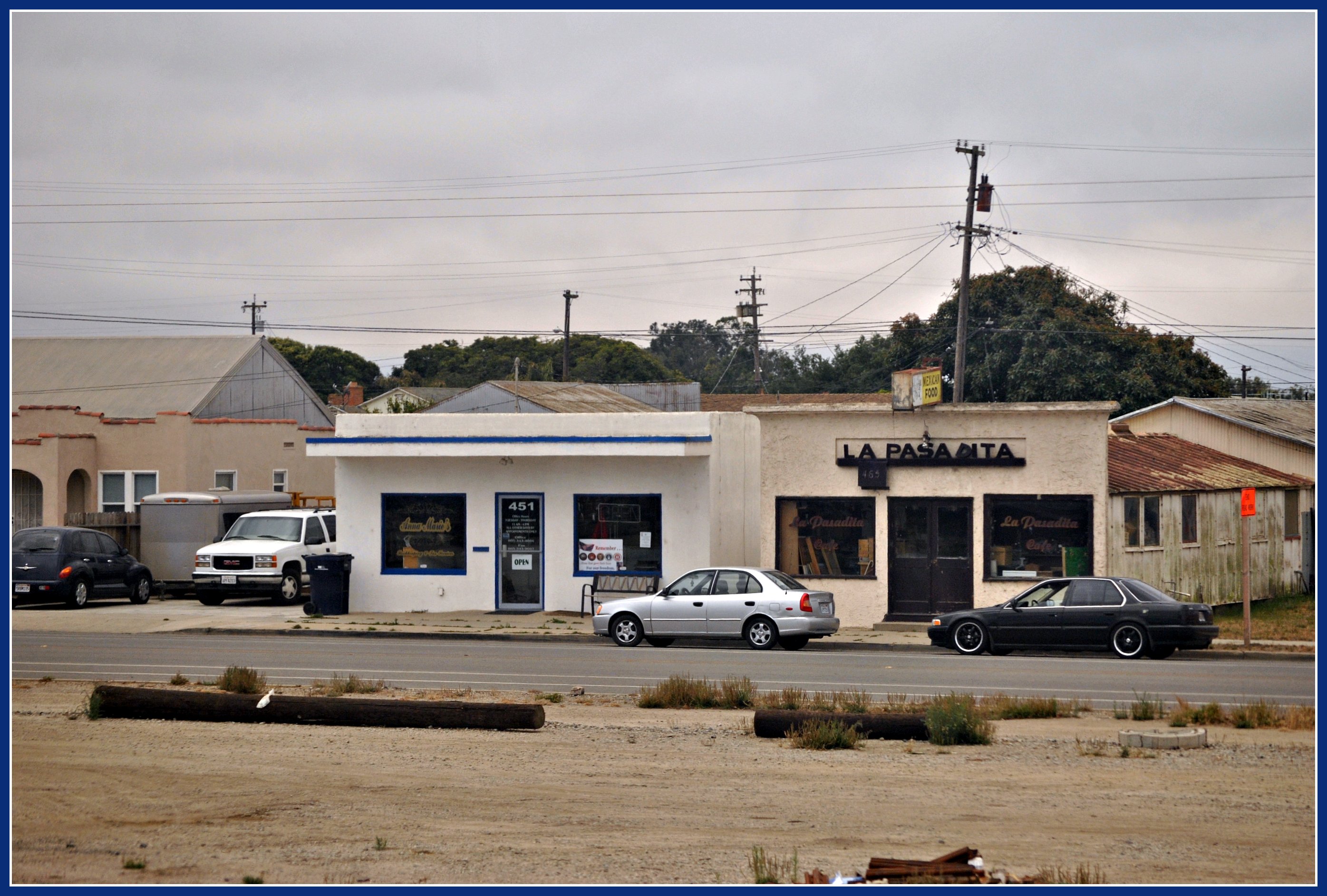
Melody Market

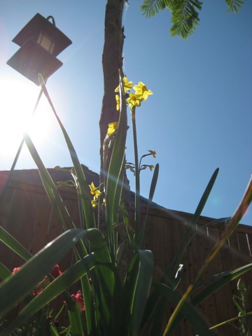
Items for Jenny to choose from!
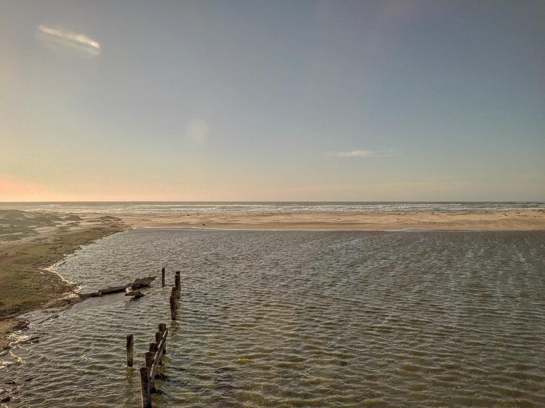
Views from the lounge car. #amtrak #california #beach #nature #travel

Orbital Sciences Vandenberg Tour (201302110007HQ)
ANTS EYE VIEW
Morning views #nofilter #centralcoastsunrise
2013-02-26_12-53-25_474

Orbital Sciences Vandenberg Tour (201302110011HQ)
Los Angeles & San Diego 059
Dirty Pass

Lavigna Panorama View
Guadalupe California

Bell’s Vireo (Vireo bellii)
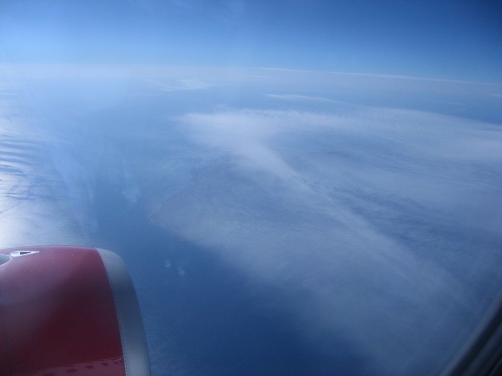
Trailing Clouds Below
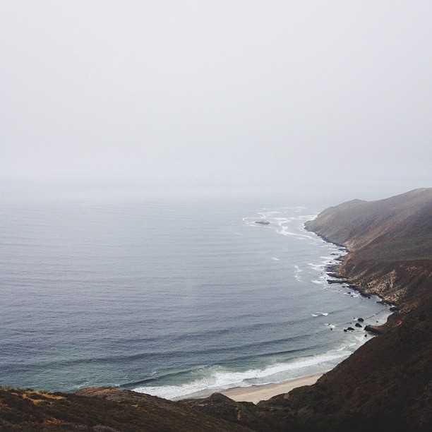
First Sight of the Ocean
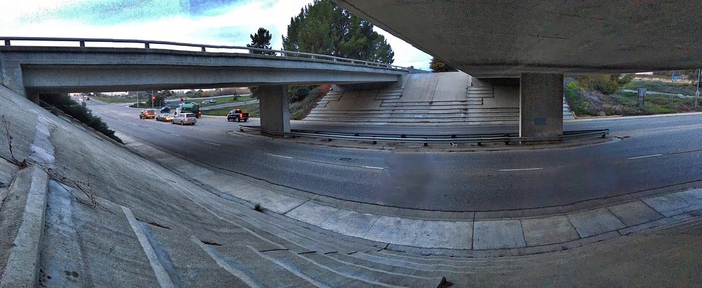
2016 PHOTOCHALLENGE WEEK 2: VIEW FROM UNDER THE BRIDGE – HDR

American Redstart (Setophaga ruticilla)
Views from the Amtrak Coast Starlight
Mexican family dune hike
Pictures by monicag13
Excuse Me While I Kiss The Sky
Point Sal Sunset

Gwen and Wardrum, no filter
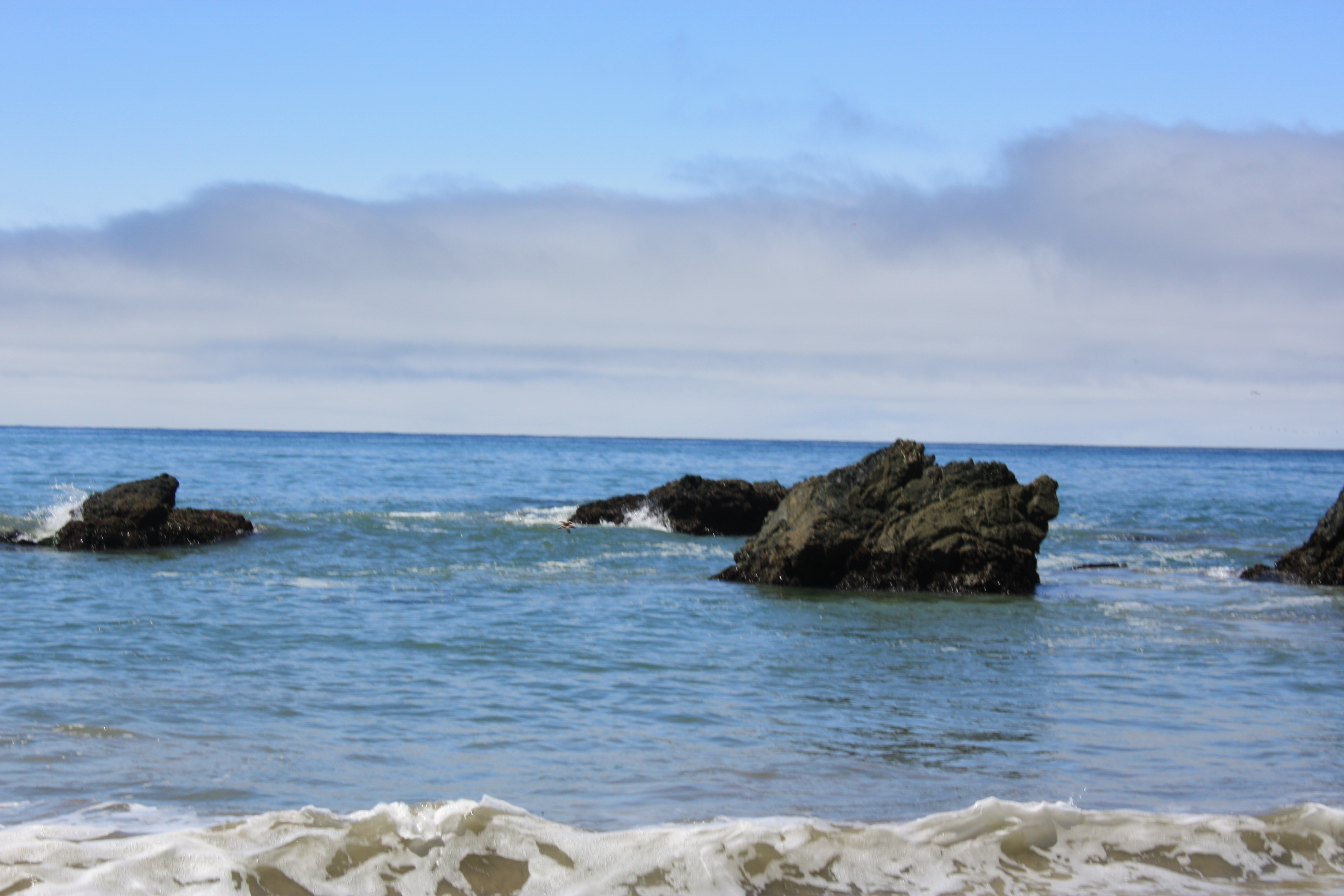
That Pacific Ocean!
Guadalupe Beach, CA
AIDS/LifeCycle

Pictures by monicag13
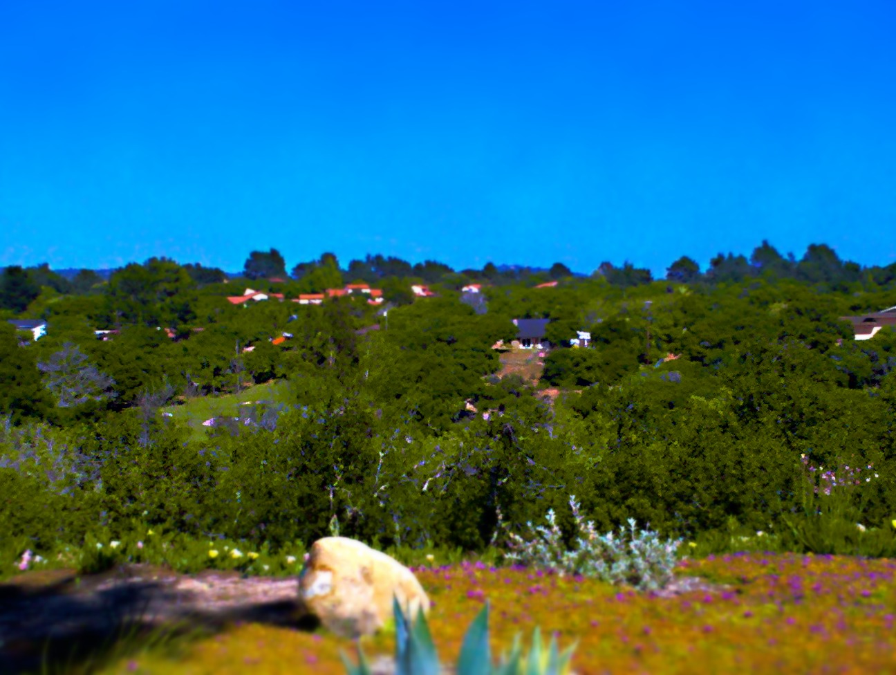
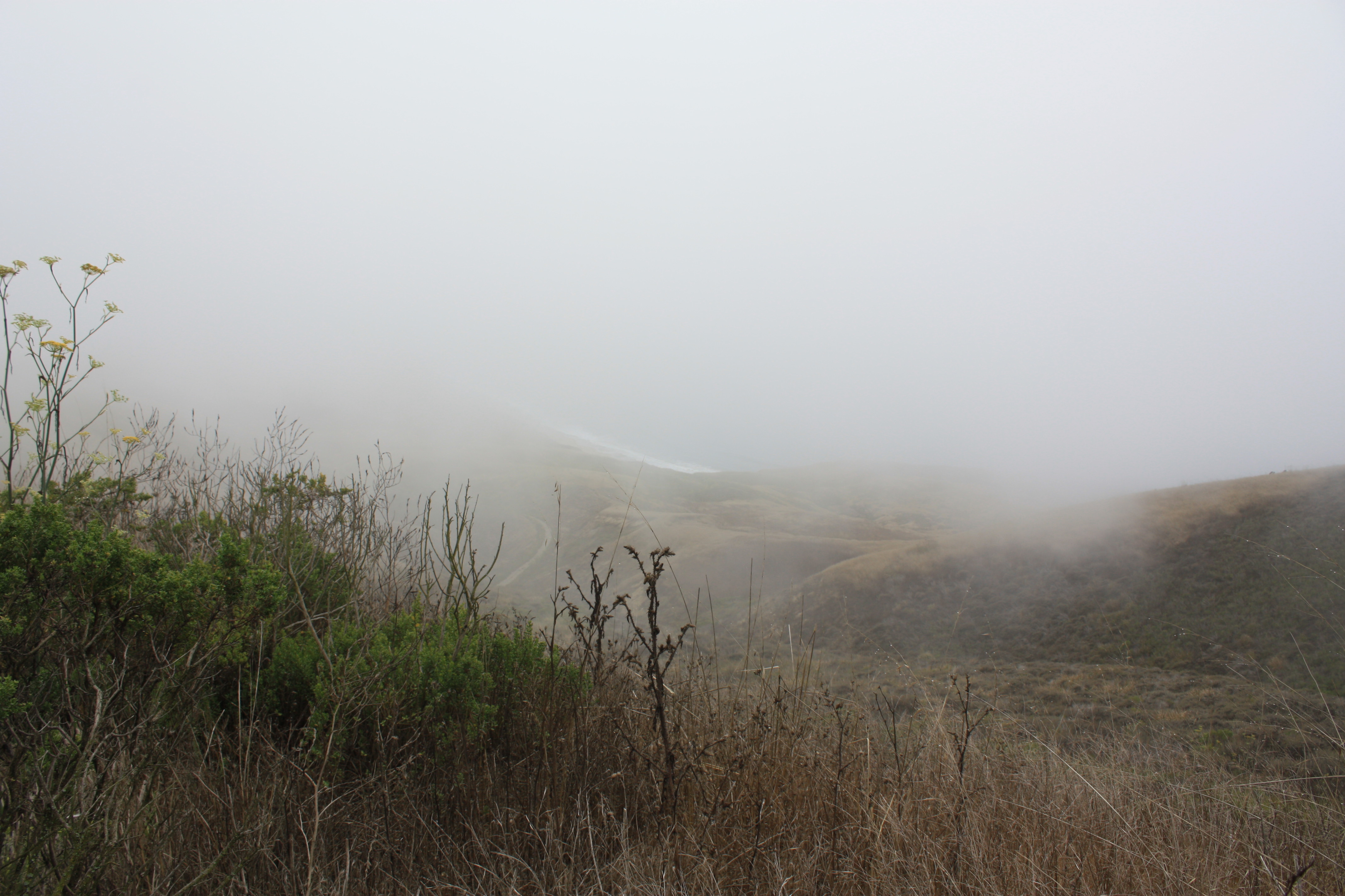
Tiny Landscape
Point Sal, CA. Have you made it out here yet @jacobleewick?
The Entry
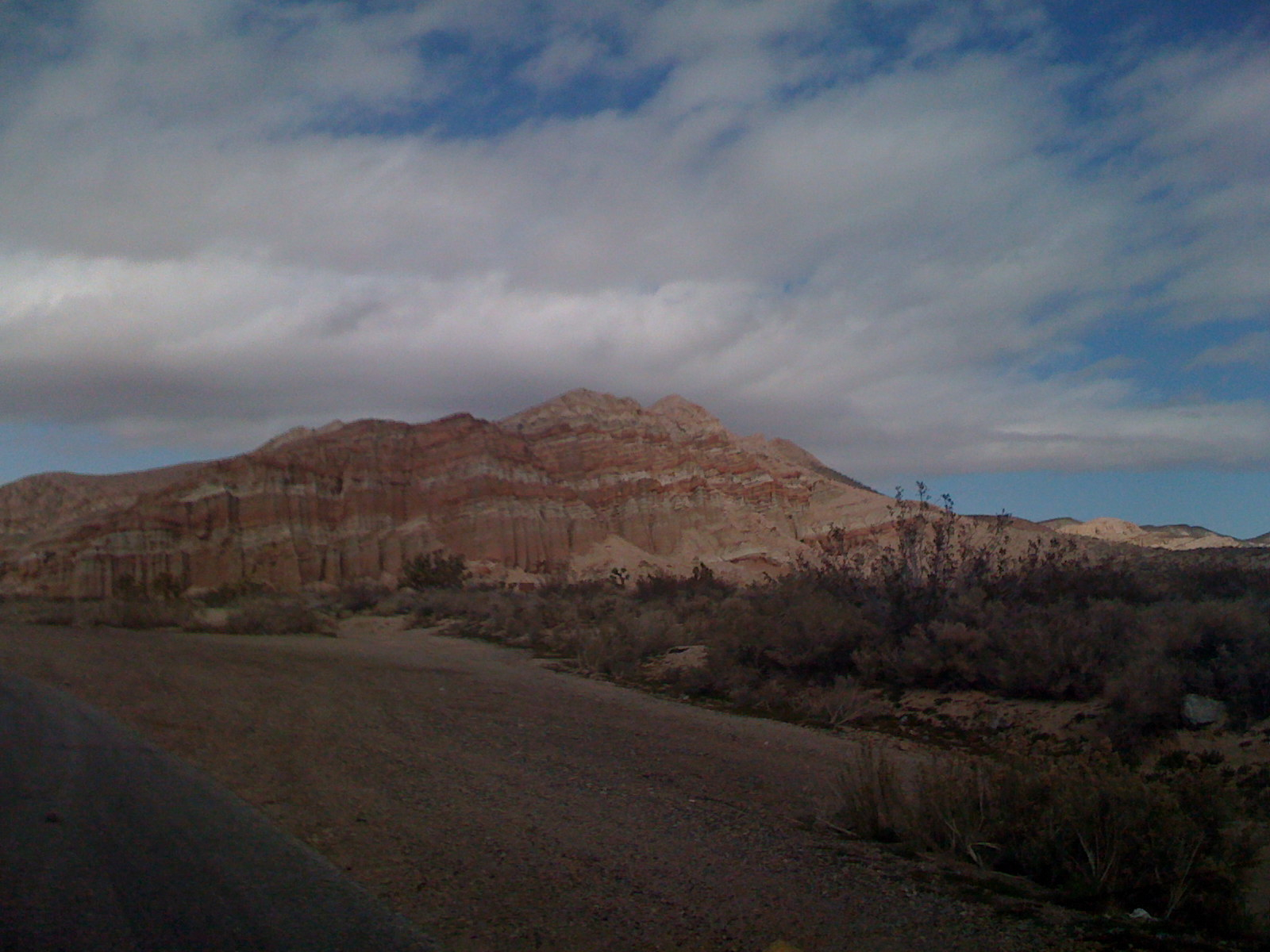
Red Rocks Canyon 3
Gorgeous sunset tonight! Such pretty colors over the ocean....
Row crops
17 - From the Train -06 Pacific Coast
Pacific Ocean from the EarthScope

Backyard Birds
Backyard Birds
Topographic Map of Casmalia, CA, USA
Find elevation by address:

Places in Casmalia, CA, USA:
Places near Casmalia, CA, USA:
Santos St, Casmalia, CA, USA
Lompoc Casmalia Rd, Casmalia, CA, USA
Black Rd, Santa Maria, CA, USA
4389 Kris Dr
CA-1, Santa Maria, CA, USA
Champion Real Estate
2301 Black Rd
196 Stansbury Dr
Orcutt
1565 Betteravia Rd
Black Rd, Santa Maria, CA, USA
5702 Paige Ct
4845 S Bradley Rd
1145 Via Pavion
1621 Barolo Pl
3536 Dakota Dr
741 Raymond Ave
La Brea Ave, Santa Maria, CA, USA
1276 Hollysprings Ln
1152 Hilltop Rd
Recent Searches:
- Elevation of Leguwa, Nepal
- Elevation of County Rd, Enterprise, AL, USA
- Elevation of Kolchuginsky District, Vladimir Oblast, Russia
- Elevation of Shustino, Vladimir Oblast, Russia
- Elevation of Lampiasi St, Sarasota, FL, USA
- Elevation of Elwyn Dr, Roanoke Rapids, NC, USA
- Elevation of Congressional Dr, Stevensville, MD, USA
- Elevation of Bellview Rd, McLean, VA, USA
- Elevation of Stage Island Rd, Chatham, MA, USA
- Elevation of Shibuya Scramble Crossing, 21 Udagawacho, Shibuya City, Tokyo -, Japan