Elevation of Alto, TX, USA
Location: United States > Texas > Cherokee County >
Longitude: -95.072717
Latitude: 31.6504546
Elevation: 133m / 436feet
Barometric Pressure: 100KPa
Elevation Map:
Satellite Map:
Related Photos:
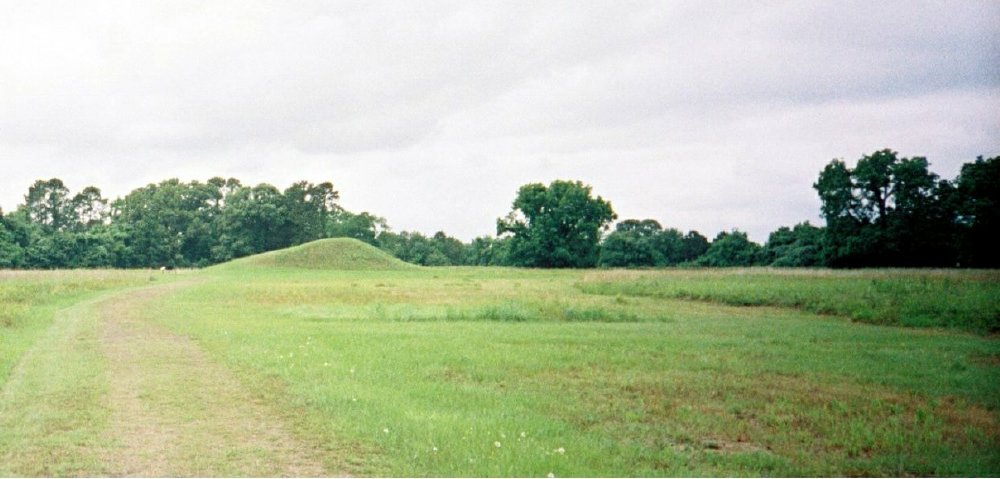
Stopping at Neches Indian Village & Caddo Mounds - 360 View
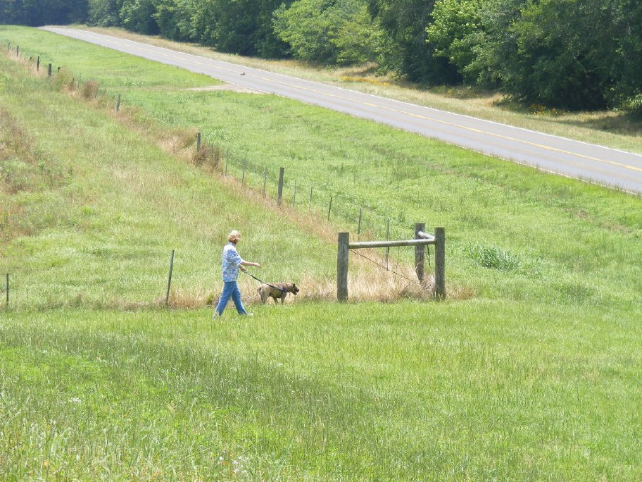
The Farm
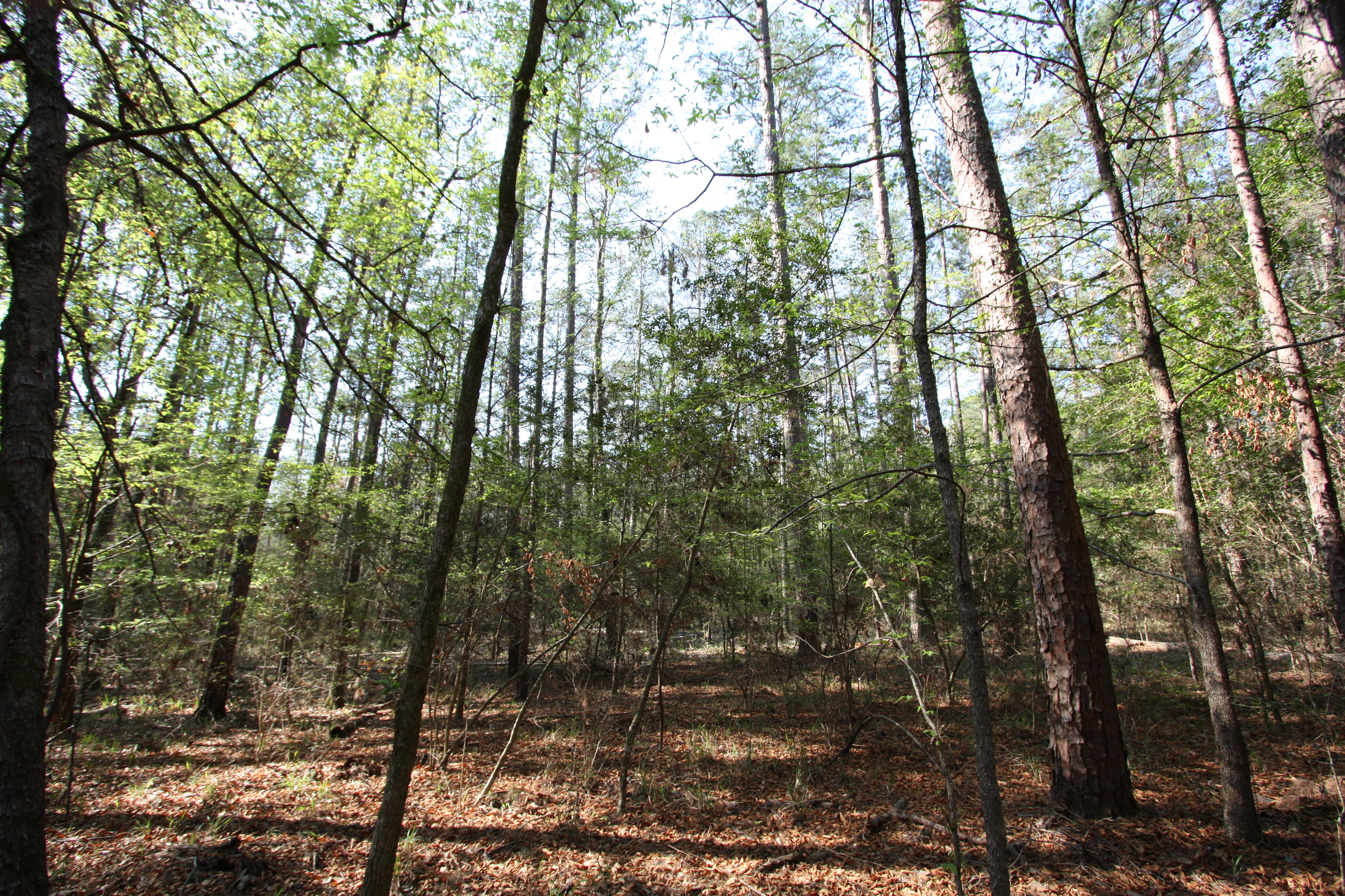
4-C Trail
tree off road park jan 29 2011
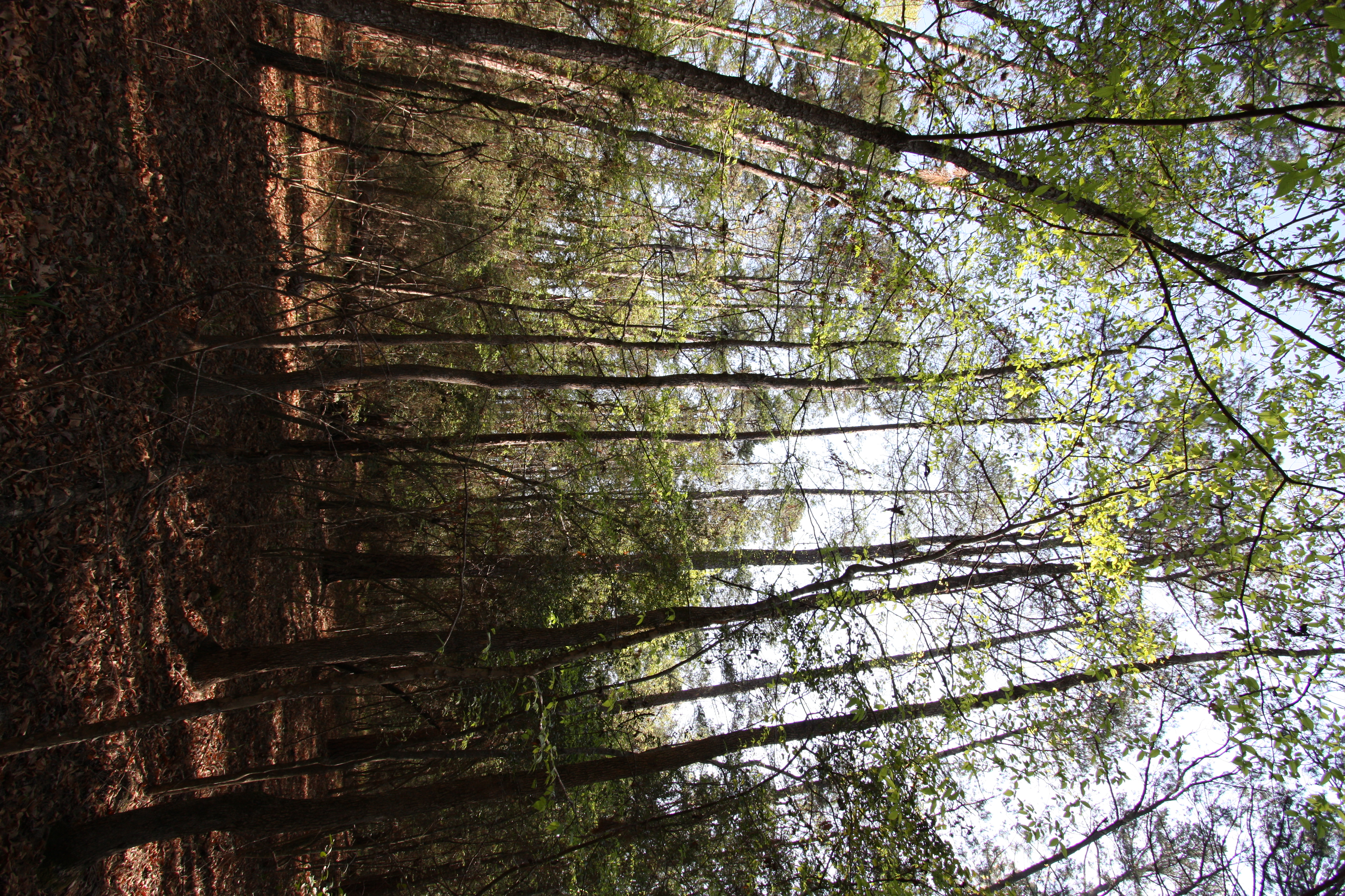
4-C Trail
4-C Trail
Mission_Tejas_SP_2011-9971
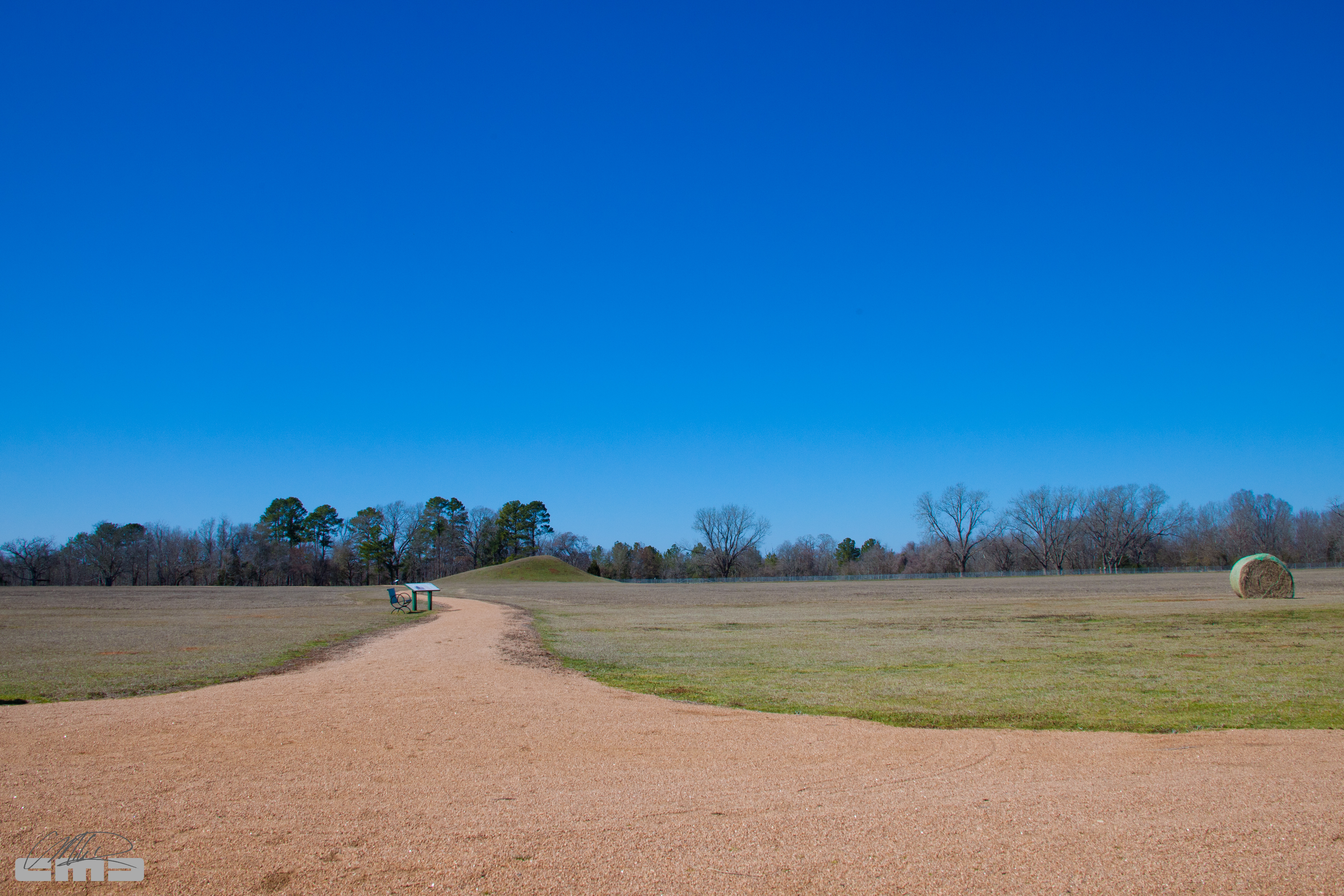
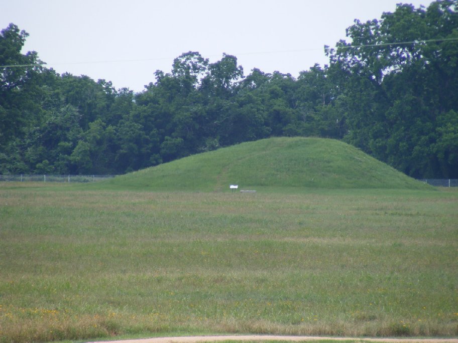
Caddoan Mounds State Historic Site - Texas
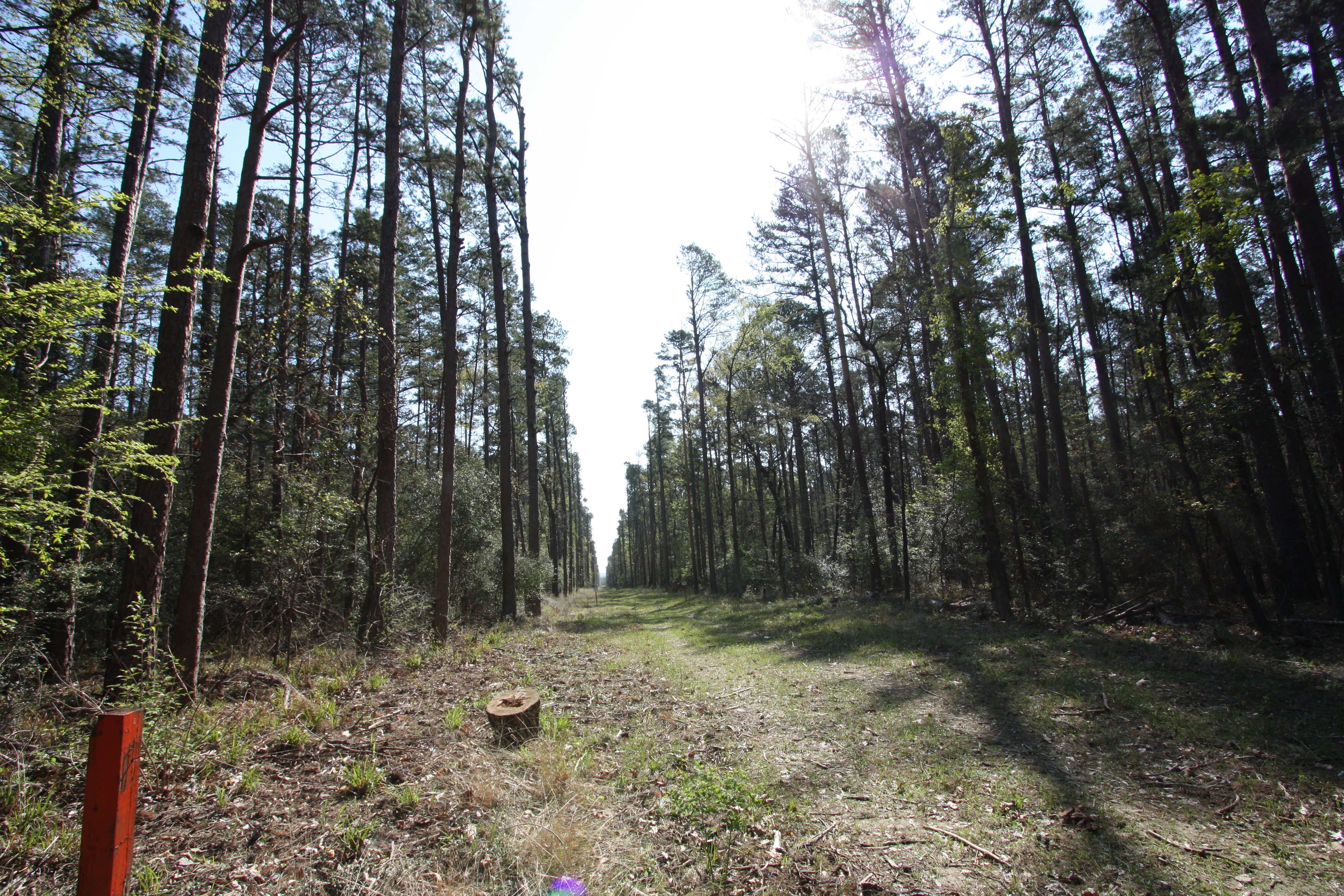
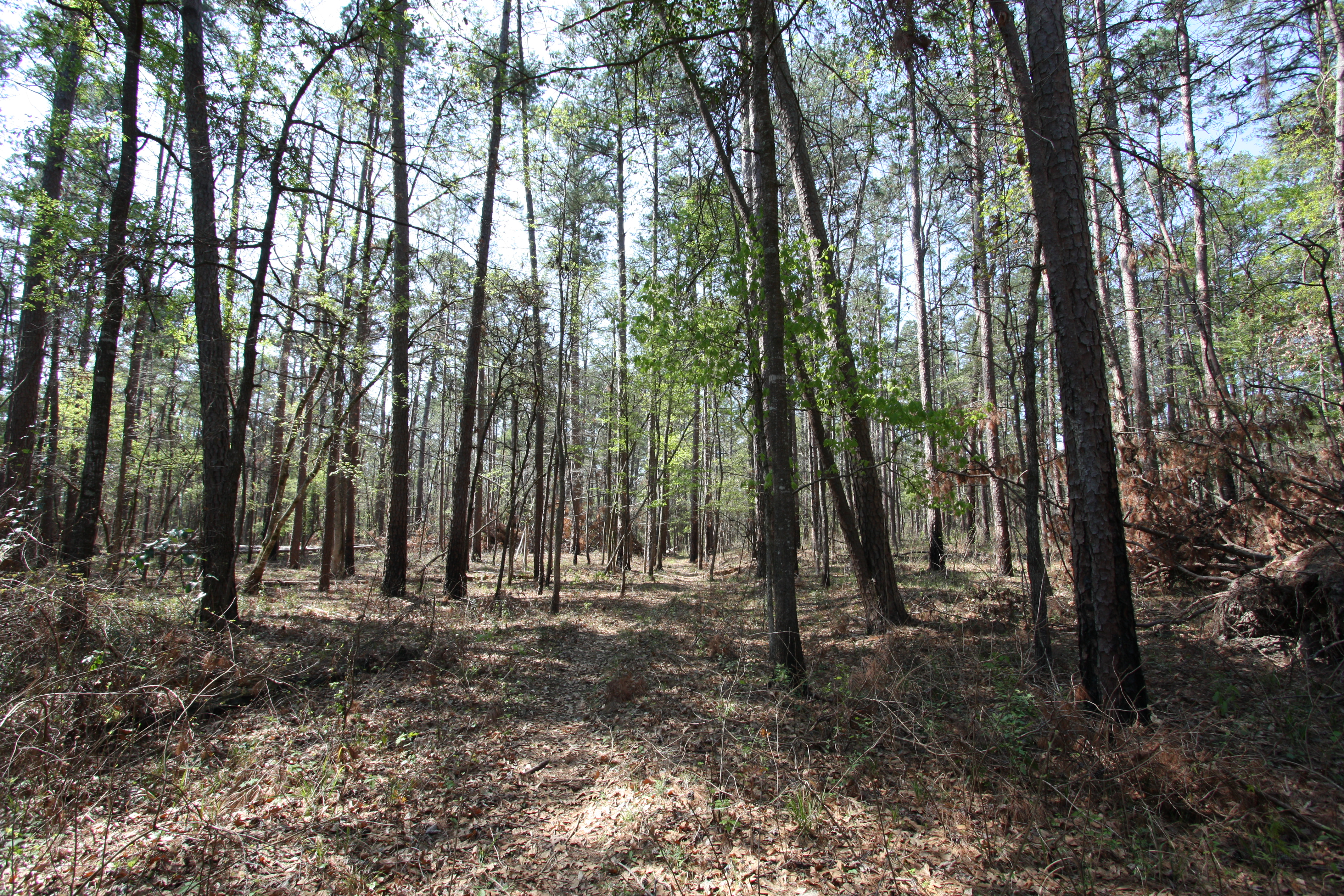
4-C Trail

4-C Trail
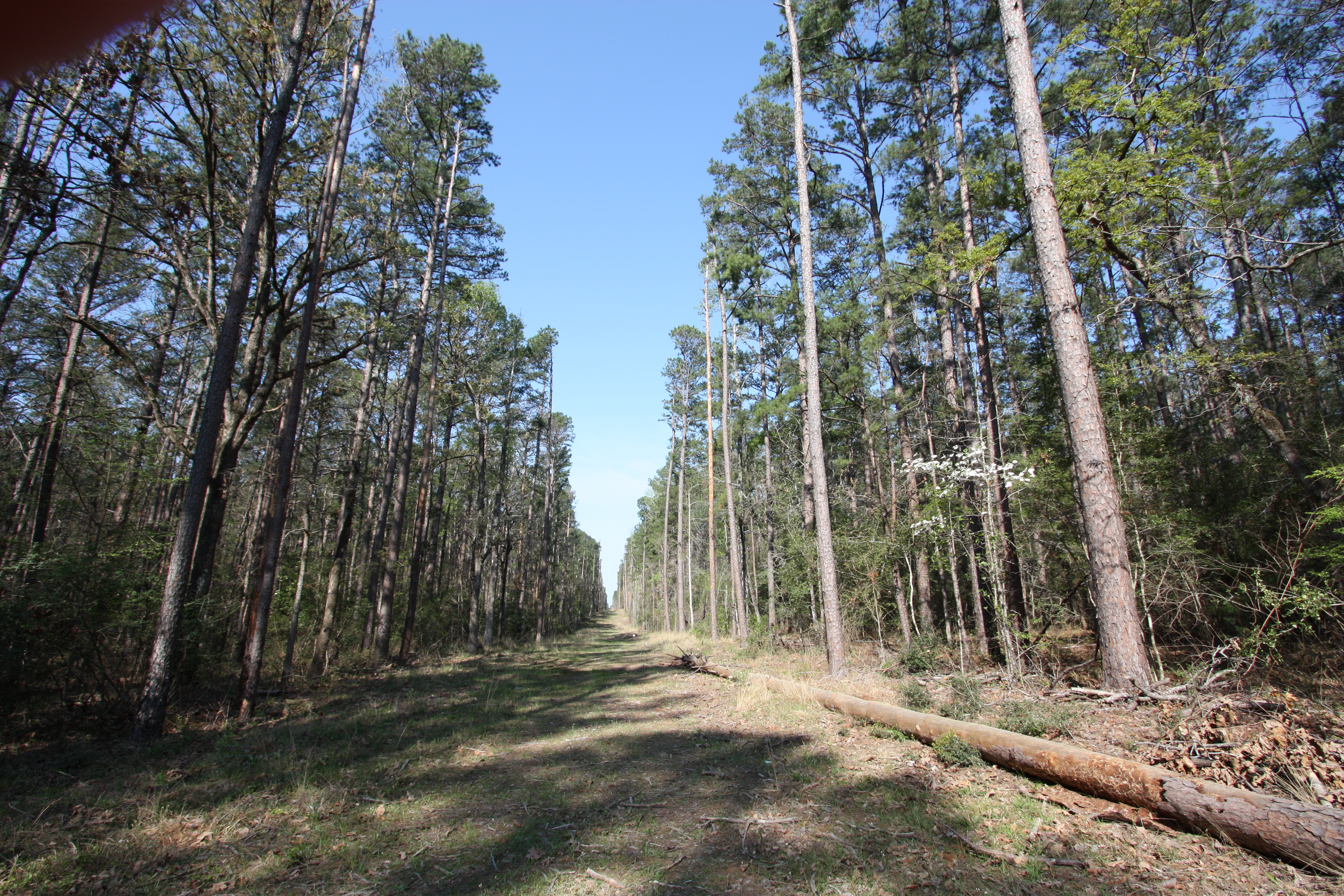
4-C Trail
4-C Trail
Stopping at Neches Indian Village & Caddo Mounds
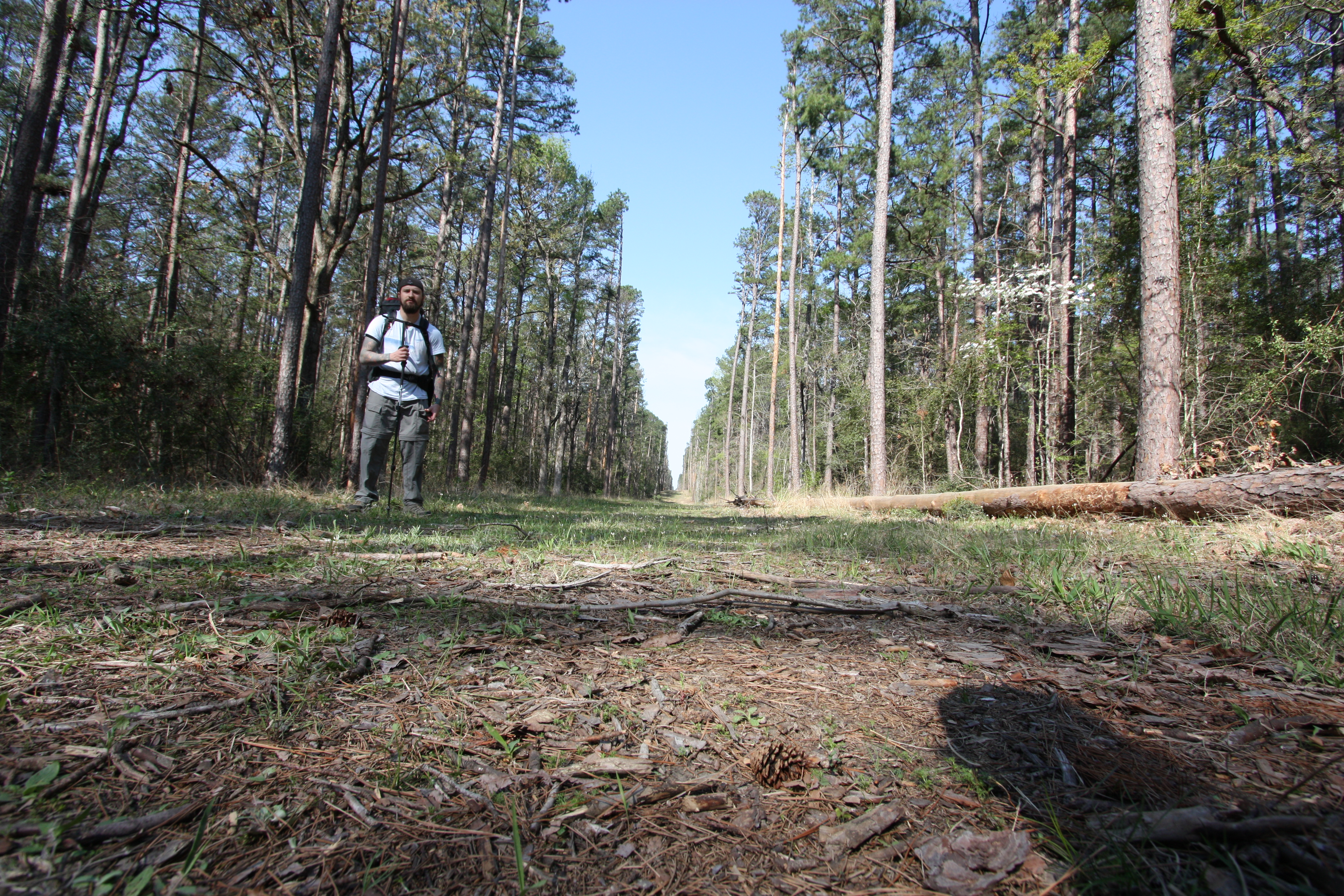
4-C Trail
Stopping at Neches Indian Village & Caddo Mounds
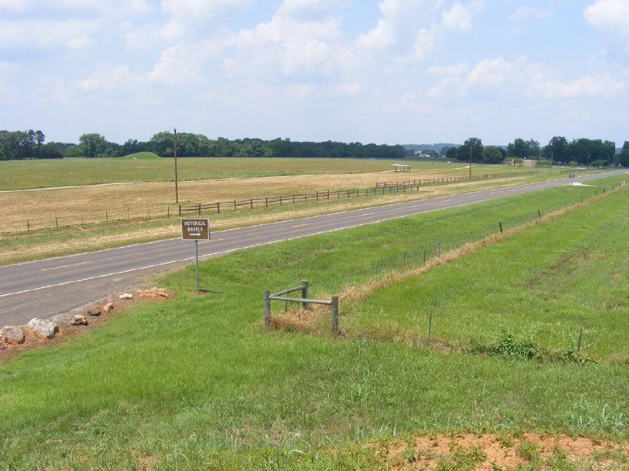
Stopping at Neches Indian Village & Caddo Mounds
Topographic Map of Alto, TX, USA
Find elevation by address:

Places in Alto, TX, USA:
Places near Alto, TX, USA:
County Road 2406
12475 Tx-21
FM, Rusk, TX, USA
County Road 1102
Forest
FM 23, Rusk, TX, USA
542 Needham
542 Needham
326 Barron St
Cherokee County
5575 Co Rd 1201
Rusk
12061 Tx-21
Weches
3141 Co Rd 1301
Douglass
511 County Rd 783
511 County Rd 783
County Road 1170
4353 Fm 1248
Recent Searches:
- Elevation of 3 Nestling Wood Dr, Long Valley, NJ, USA
- Elevation of Ilungu, Tanzania
- Elevation of Yellow Springs Road, Yellow Springs Rd, Chester Springs, PA, USA
- Elevation of Rēzekne Municipality, Latvia
- Elevation of Plikpūrmaļi, Vērēmi Parish, Rēzekne Municipality, LV-, Latvia
- Elevation of 2 Henschke Ct, Caboolture QLD, Australia
- Elevation of Redondo Ave, Long Beach, CA, USA
- Elevation of Sadovaya Ulitsa, 20, Rezh, Sverdlovskaya oblast', Russia
- Elevation of Ulitsa Kalinina, 79, Rezh, Sverdlovskaya oblast', Russia
- Elevation of 72-31 Metropolitan Ave, Middle Village, NY, USA