Elevation of FM, Rusk, TX, USA
Location: United States > Texas > Cherokee County >
Longitude: -95.152918
Latitude: 31.7312237
Elevation: 144m / 472feet
Barometric Pressure: 100KPa
Elevation Map:
Satellite Map:
Related Photos:

Rock Star
Kids Camp 2012 | Rusk, TX
Stopping at Neches Indian Village & Caddo Mounds - 360 View
Side view of Depot Entrance from parking
Depot as viewed from parking
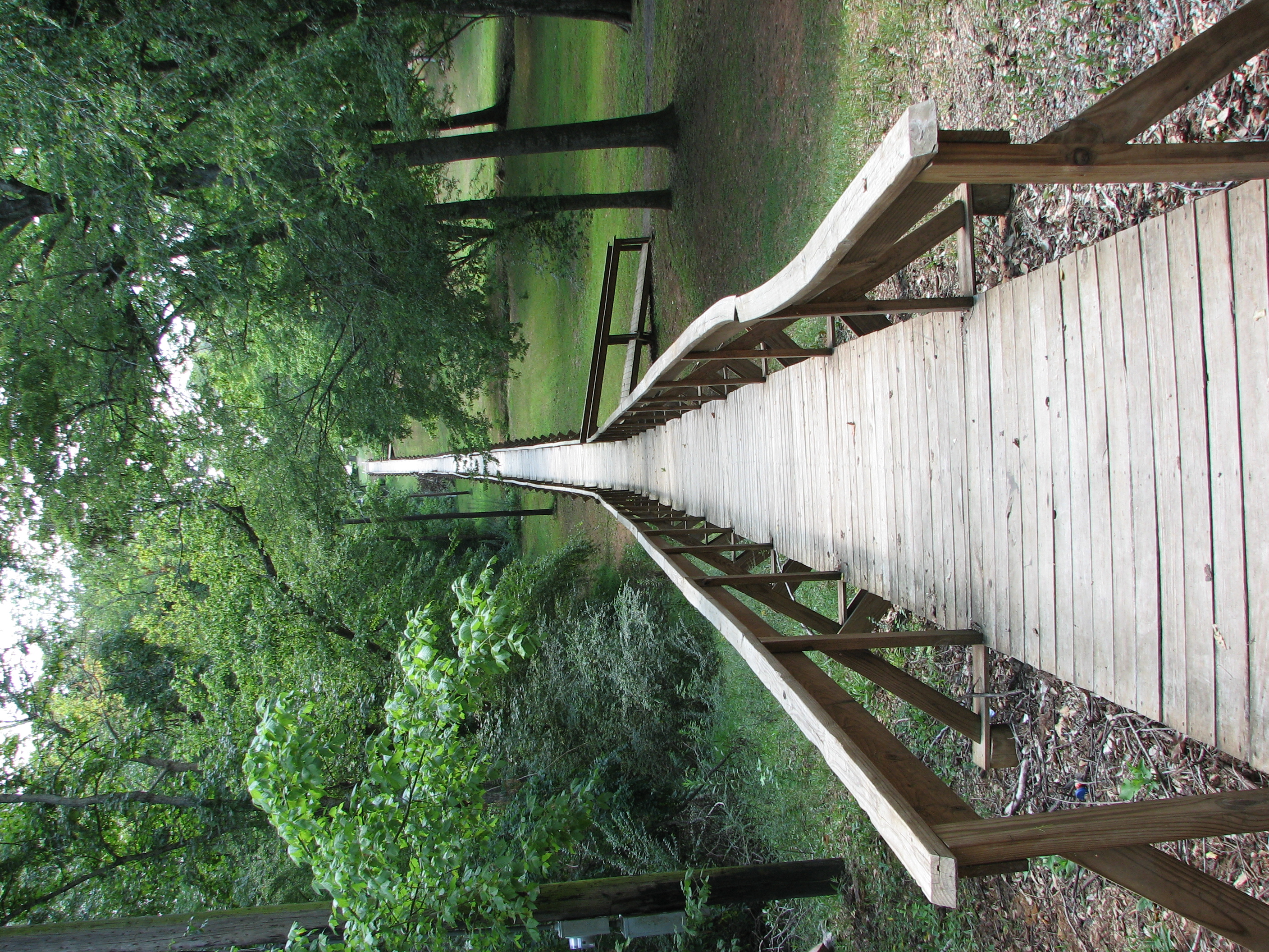
Rusk Footbridge long view

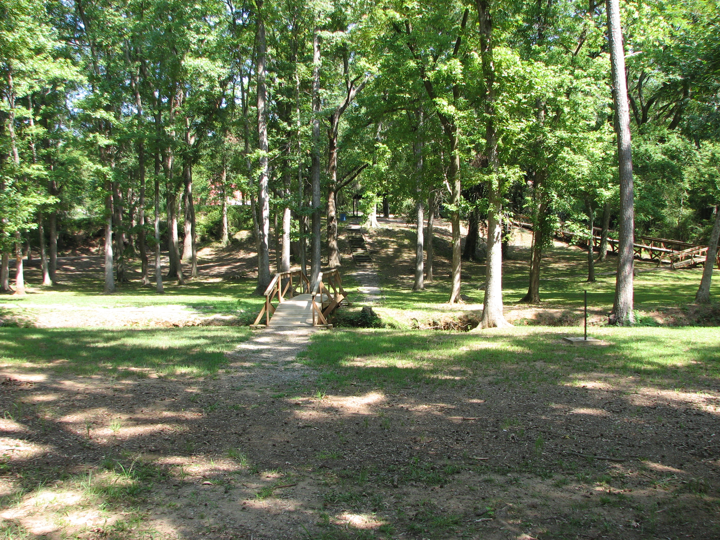
Rusk Footbridge across the park
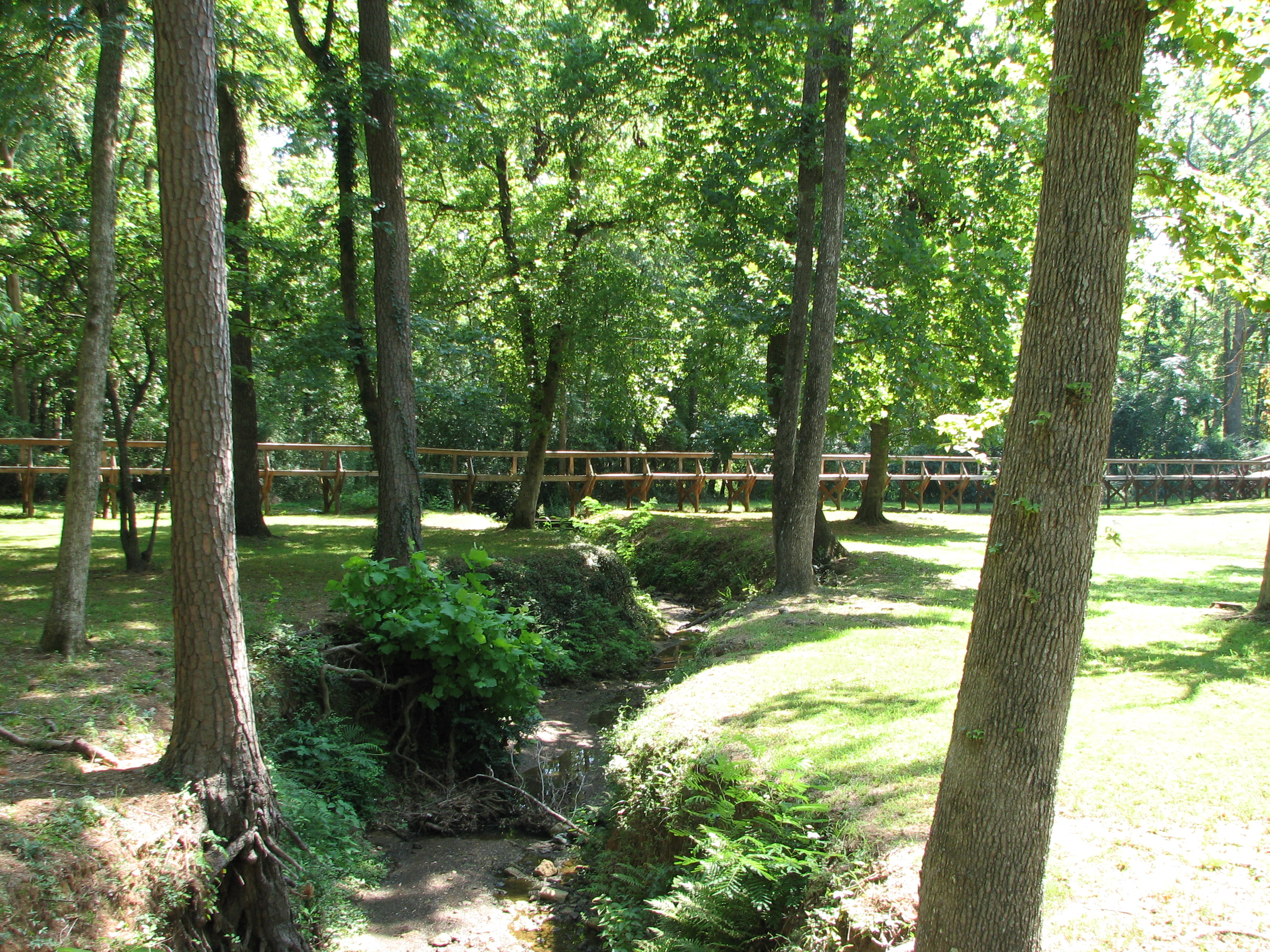
Rusk Footbridge in background of another bridge
Rusk Footbridge through the trees
Mission_Tejas_SP_2011-9971
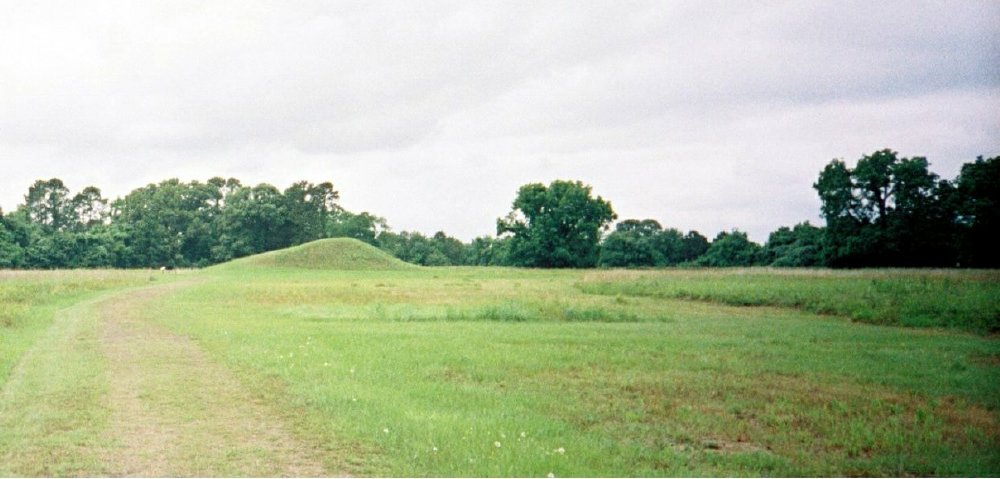
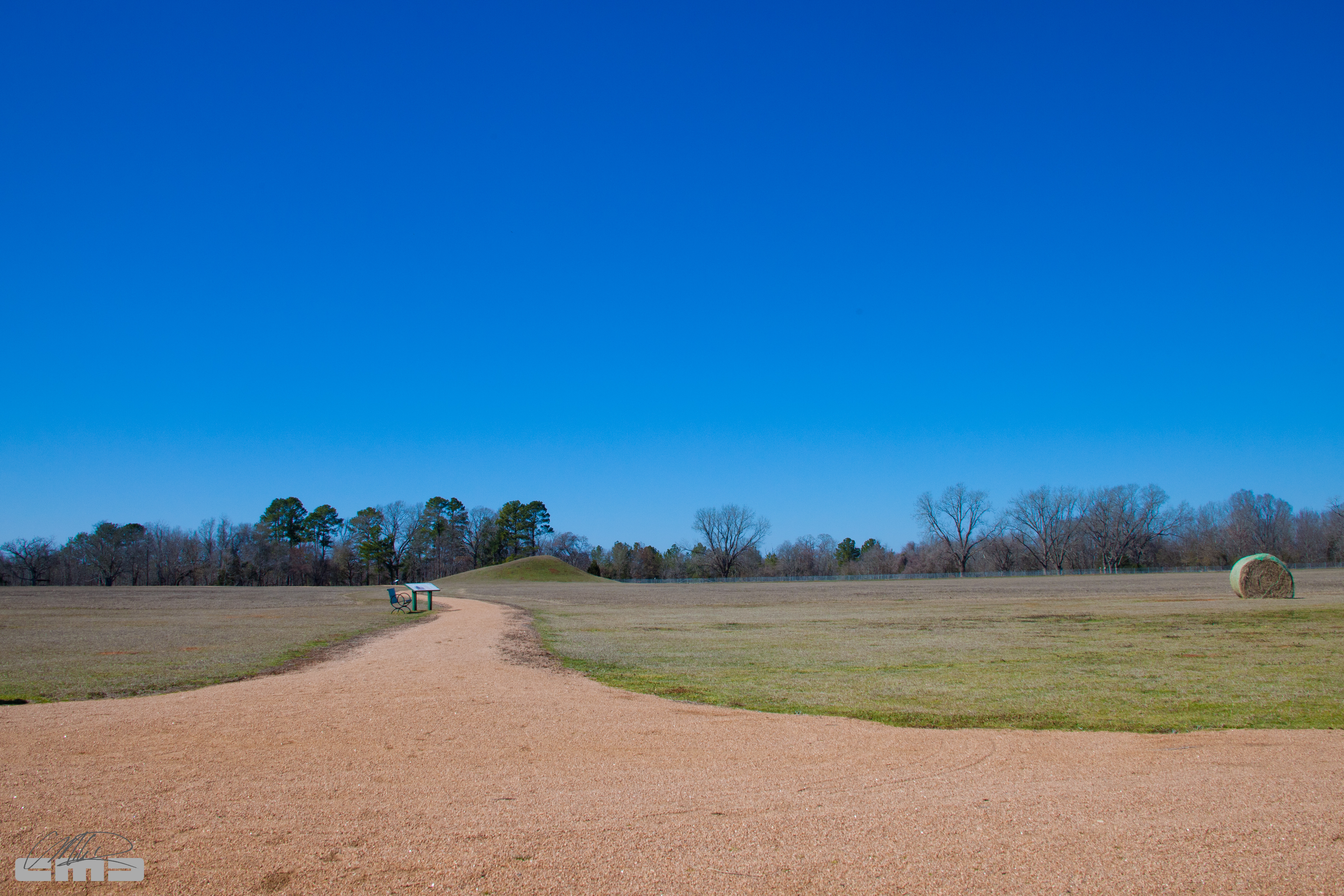
Caddoan Mounds State Historic Site - Texas
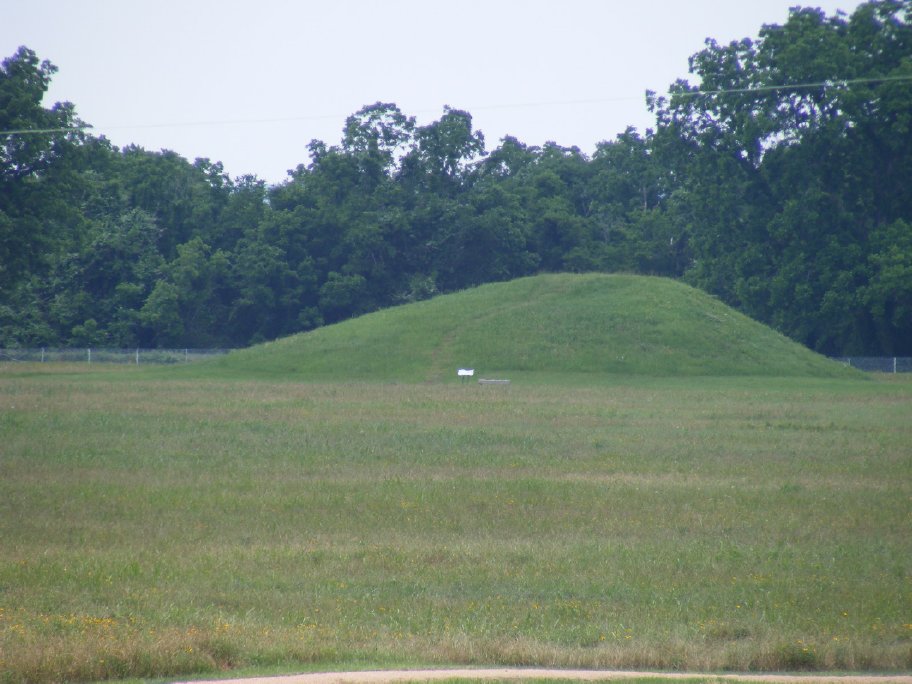
Stopping at Neches Indian Village & Caddo Mounds
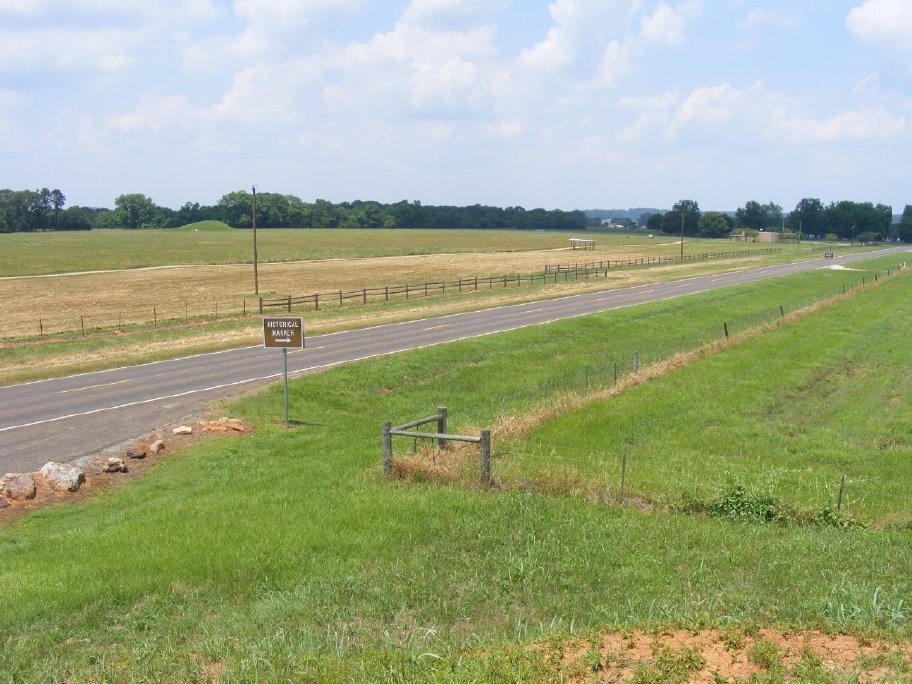
Stopping at Neches Indian Village & Caddo Mounds
Stopping at Neches Indian Village & Caddo Mounds
Topographic Map of FM, Rusk, TX, USA
Find elevation by address:

Places near FM, Rusk, TX, USA:
County Road 1102
County Road 2406
542 Needham
542 Needham
326 Barron St
Rusk
Cherokee County
FM 23, Rusk, TX, USA
4353 Fm 1248
Alto
3141 Co Rd 1301
5575 Co Rd 1201
Co Rd, Jacksonville, TX, USA
871 S Dry Creek Rd
871 S Dry Creek Rd
Gallatin
12475 Tx-21
5854 Fm 347
977 Co Rd 1322
Ghent Mountain
Recent Searches:
- Elevation of Groblershoop, South Africa
- Elevation of Power Generation Enterprises | Industrial Diesel Generators, Oak Ave, Canyon Country, CA, USA
- Elevation of Chesaw Rd, Oroville, WA, USA
- Elevation of N, Mt Pleasant, UT, USA
- Elevation of 6 Rue Jules Ferry, Beausoleil, France
- Elevation of Sattva Horizon, 4JC6+G9P, Vinayak Nagar, Kattigenahalli, Bengaluru, Karnataka, India
- Elevation of Great Brook Sports, Gold Star Hwy, Groton, CT, USA
- Elevation of 10 Mountain Laurels Dr, Nashua, NH, USA
- Elevation of 16 Gilboa Ln, Nashua, NH, USA
- Elevation of Laurel Rd, Townsend, TN, USA