Elevation of FM, Rusk, TX, USA
Location: United States > Texas > Cherokee County > Rusk >
Longitude: -95.240170
Latitude: 31.7662007
Elevation: 111m / 364feet
Barometric Pressure: 100KPa
Elevation Map:
Satellite Map:
Related Photos:
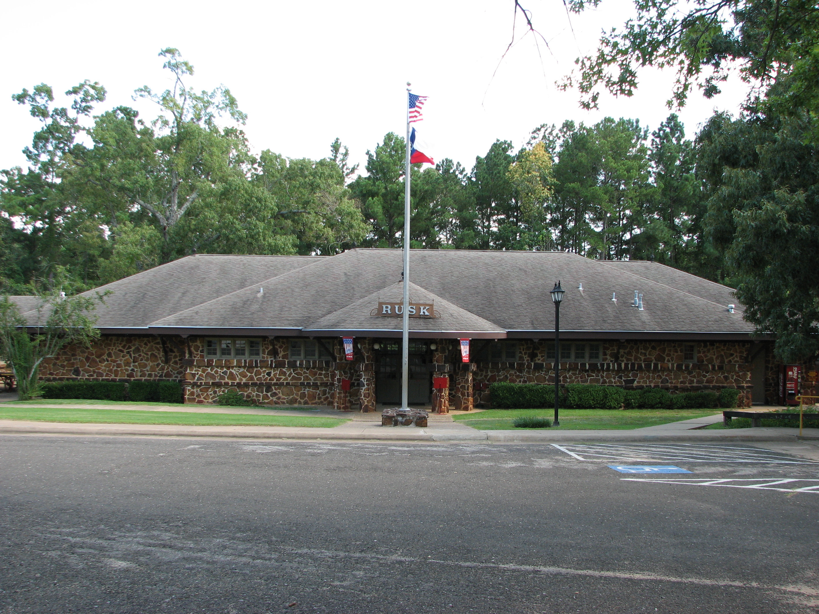
Depot as viewed from parking

No Vacancy

Out Of Service Railcar

Sacred Heart Church
Kids Camp 2012 | Rusk, TX

Rock Star
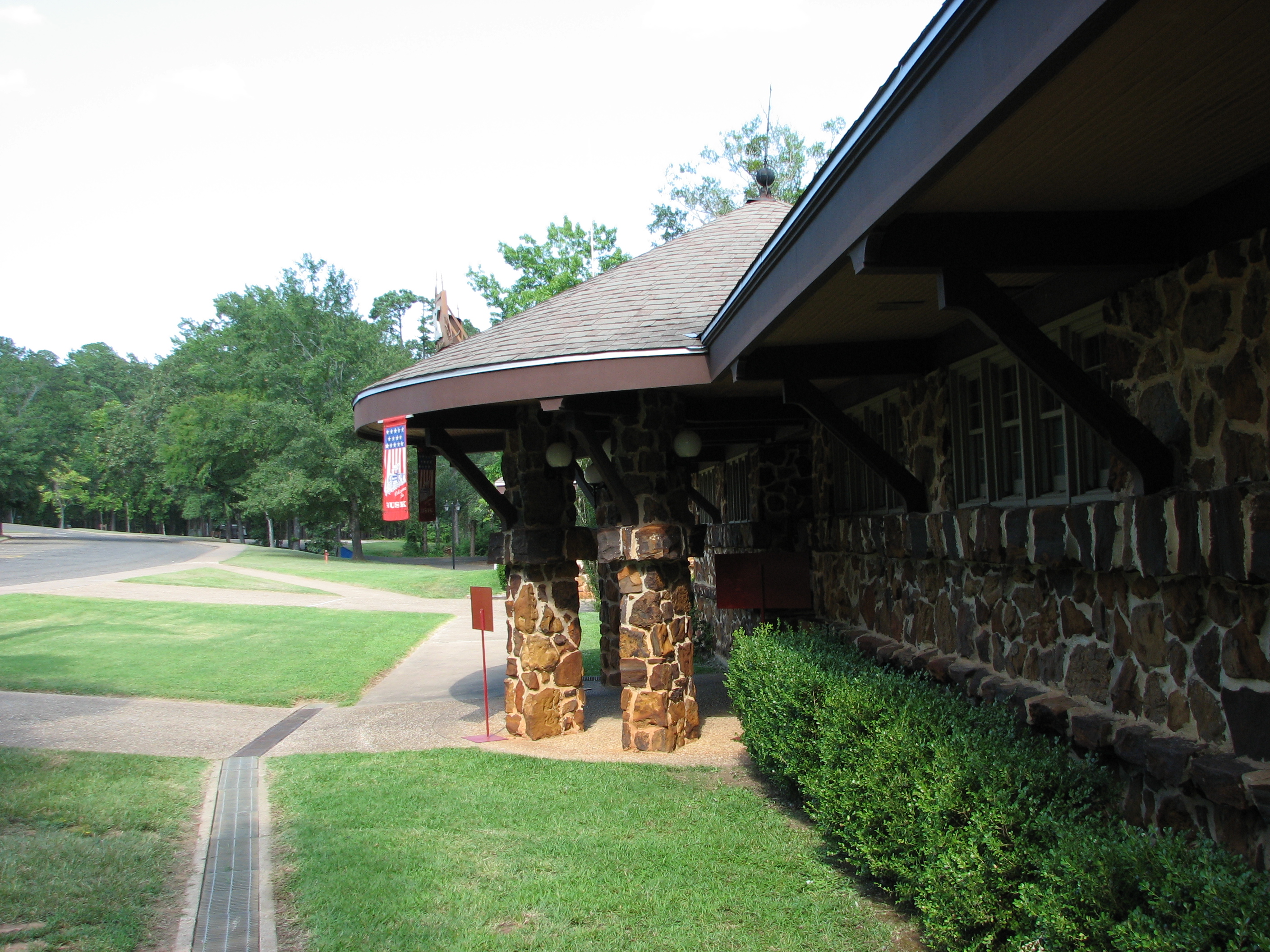
Side view of Depot Entrance from parking
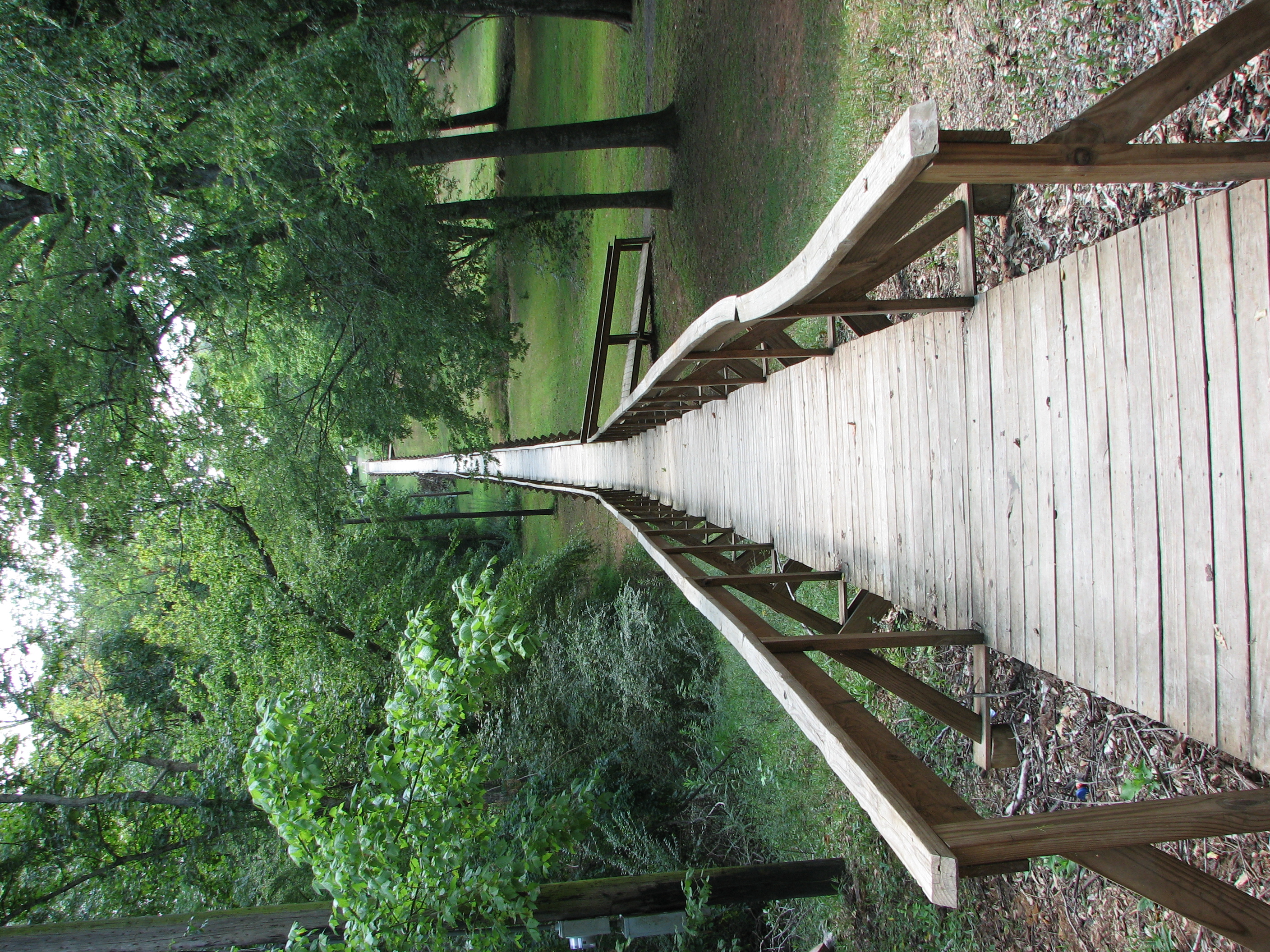
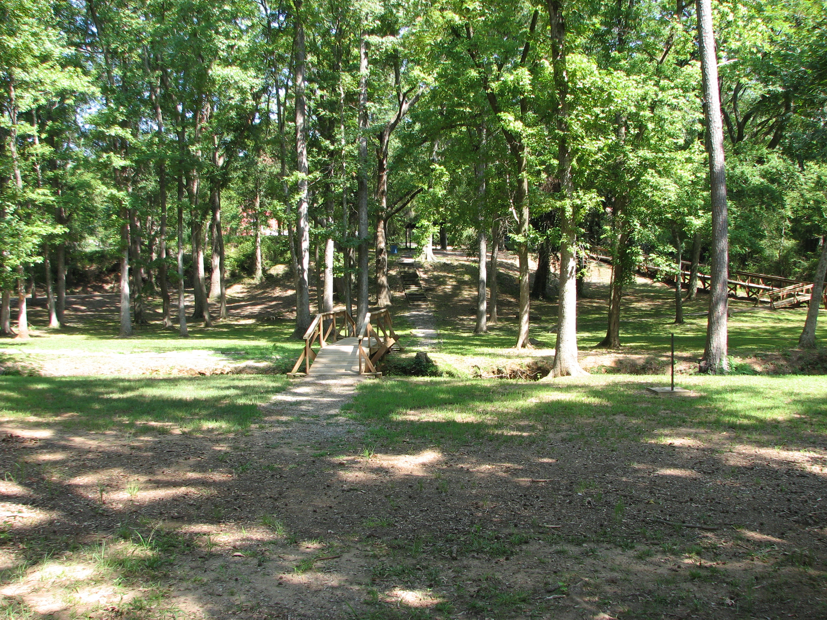
Rusk Footbridge long view
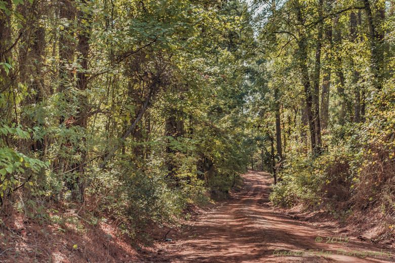
Oh those East Texas Red Dirt Roads
Rusk Footbridge in background of another bridge

Rusk Footbridge across the park
Topographic Map of FM, Rusk, TX, USA
Find elevation by address:

Places near FM, Rusk, TX, USA:
FM 23, Rusk, TX, USA
326 Barron St
Co Rd, Jacksonville, TX, USA
FM, Rusk, TX, USA
Rusk
Cherokee County
542 Needham
542 Needham
Ghent Mountain
5854 Fm 347
County Road 1102
County Road 2406
2185 Co Rd 3104
Co Rd, Jacksonville, TX, USA
871 S Dry Creek Rd
871 S Dry Creek Rd
Gallatin
3141 Co Rd 1301
Jacksonville, TX, USA
1745 Co Rd 3113
Recent Searches:
- Elevation of Rojo Ct, Atascadero, CA, USA
- Elevation of Flagstaff Drive, Flagstaff Dr, North Carolina, USA
- Elevation of Avery Ln, Lakeland, FL, USA
- Elevation of Woolwine, VA, USA
- Elevation of Lumagwas Diversified Farmers Multi-Purpose Cooperative, Lumagwas, Adtuyon, RV32+MH7, Pangantucan, Bukidnon, Philippines
- Elevation of Homestead Ridge, New Braunfels, TX, USA
- Elevation of Orchard Road, Orchard Rd, Marlborough, NY, USA
- Elevation of 12 Hutchinson Woods Dr, Fletcher, NC, USA
- Elevation of Holloway Ave, San Francisco, CA, USA
- Elevation of Norfolk, NY, USA