Elevation of TX-21, Alto, TX, USA
Location: United States > Texas > Cherokee County > Alto >
Longitude: -94.991224
Latitude: 31.6648857
Elevation: 93m / 305feet
Barometric Pressure: 100KPa
Elevation Map:
Satellite Map:
Related Photos:

Old House With Green Trim
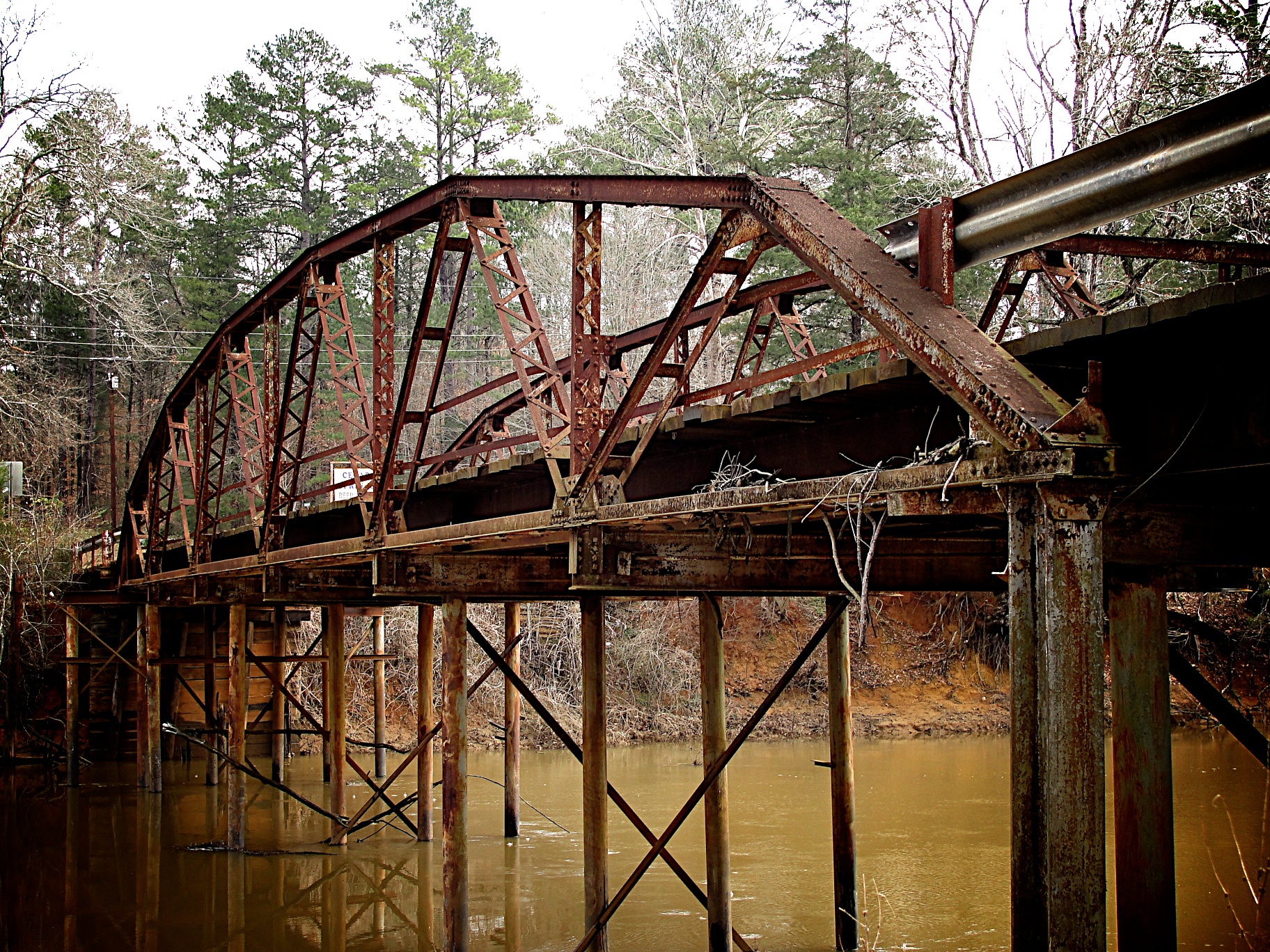
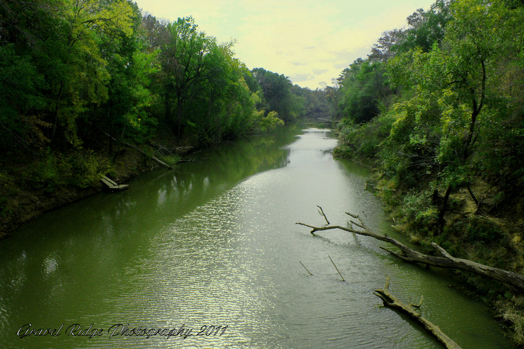
Goodman Bridge 2010
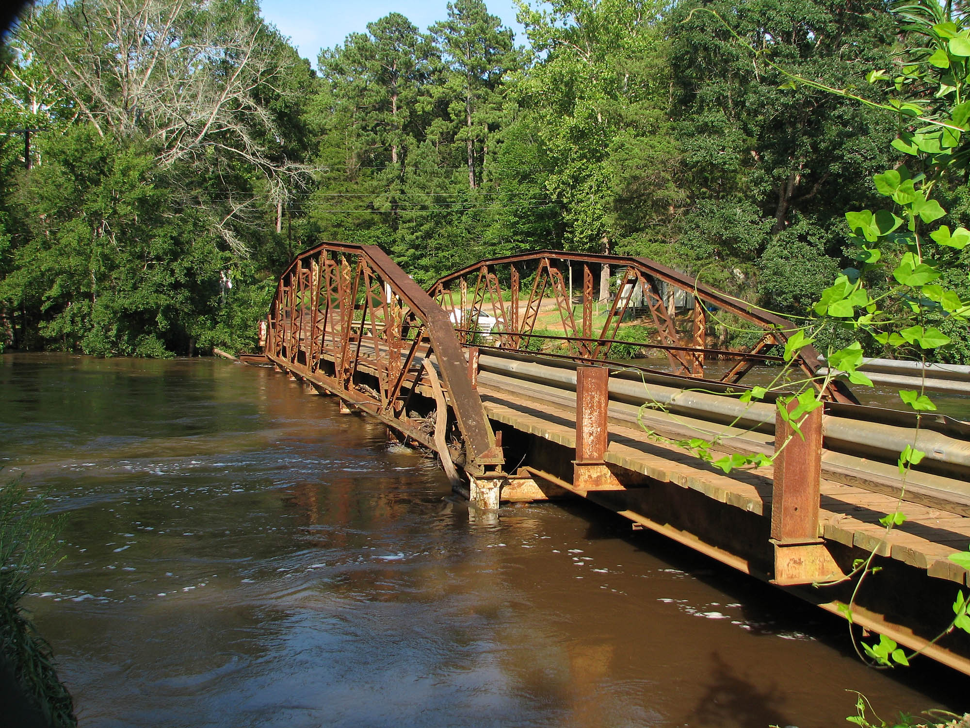
Goodman Bridge from the northwest
Good Morning Angelina
Oh Angelina
Down the Angelina
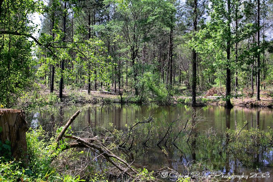
East Texas at it's Best

Living in an Escher World

A Pair of Gentle Giants

rusted joint
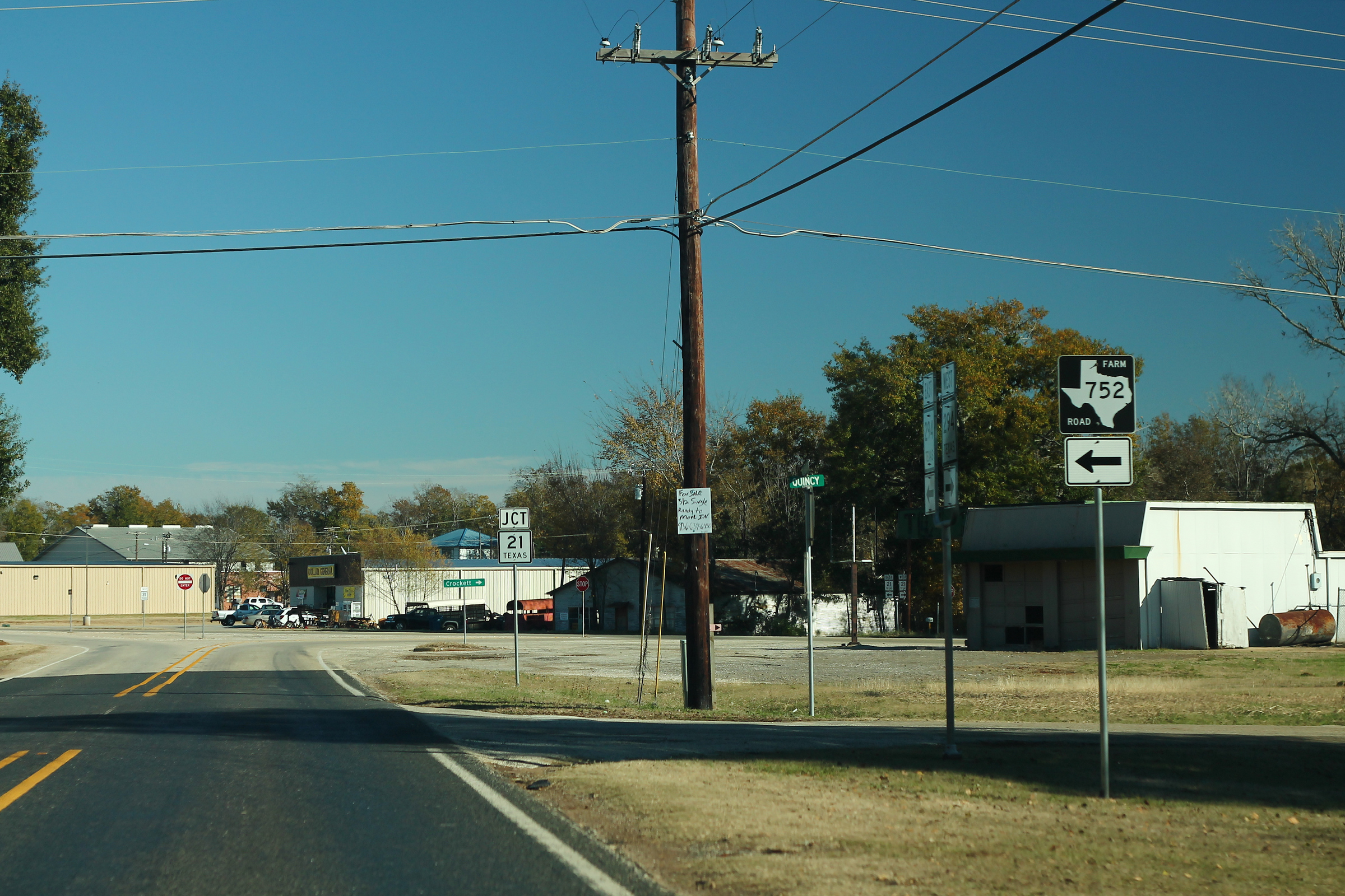
TX294 East - FM752 Sign
Topographic Map of TX-21, Alto, TX, USA
Find elevation by address:

Places near TX-21, Alto, TX, USA:
Alto
12061 Tx-21
Douglass
511 County Rd 783
511 County Rd 783
County Road 2406
Forest
County Road 1102
5575 Co Rd 1201
FM, Rusk, TX, USA
FM, Cushing, TX, USA
542 Needham
542 Needham
977 Co Rd 1322
Reklaw
Cherokee County
3141 Co Rd 1301
Rusk
326 Barron St
Cushing
Recent Searches:
- Elevation of Sattva Horizon, 4JC6+G9P, Vinayak Nagar, Kattigenahalli, Bengaluru, Karnataka, India
- Elevation of Great Brook Sports, Gold Star Hwy, Groton, CT, USA
- Elevation of 10 Mountain Laurels Dr, Nashua, NH, USA
- Elevation of 16 Gilboa Ln, Nashua, NH, USA
- Elevation of Laurel Rd, Townsend, TN, USA
- Elevation of 3 Nestling Wood Dr, Long Valley, NJ, USA
- Elevation of Ilungu, Tanzania
- Elevation of Yellow Springs Road, Yellow Springs Rd, Chester Springs, PA, USA
- Elevation of Rēzekne Municipality, Latvia
- Elevation of Plikpūrmaļi, Vērēmi Parish, Rēzekne Municipality, LV-, Latvia