Elevation of TX-21, Douglass, TX, USA
Location: United States > Texas > Nacogdoches County > Douglass >
Longitude: -94.901575
Latitude: 31.6710143
Elevation: 101m / 331feet
Barometric Pressure: 100KPa
Elevation Map:
Satellite Map:
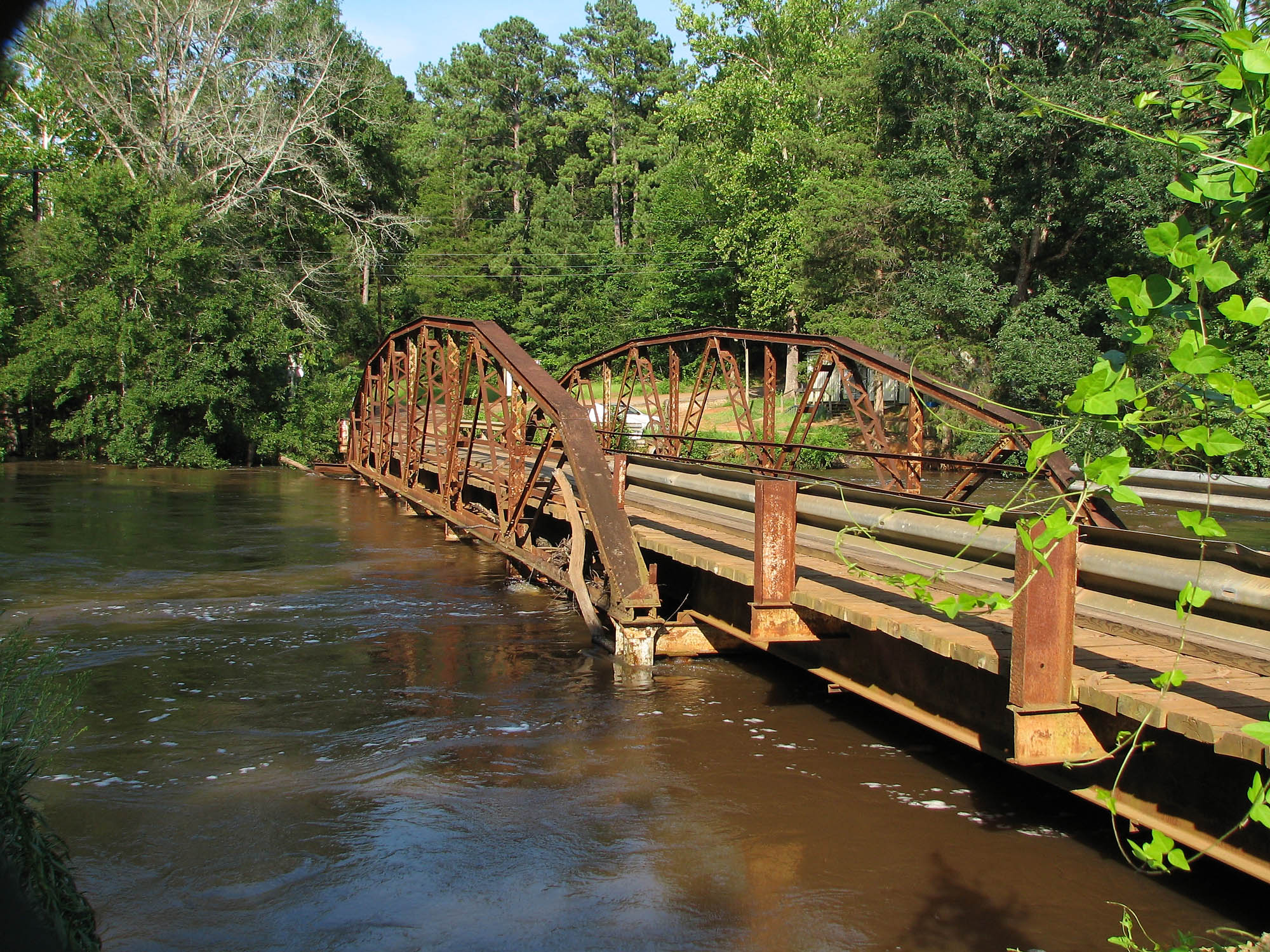
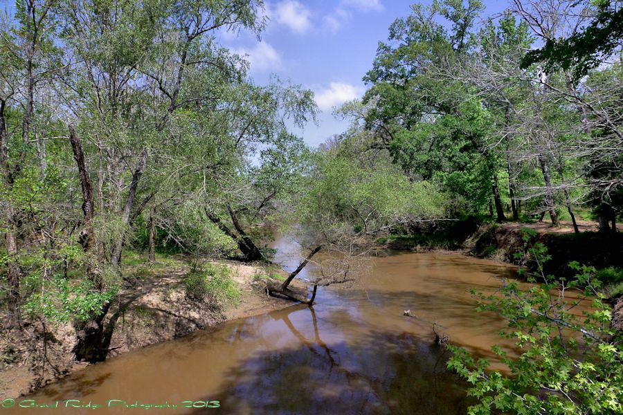
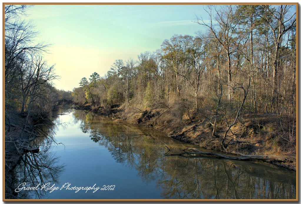
Related Photos:
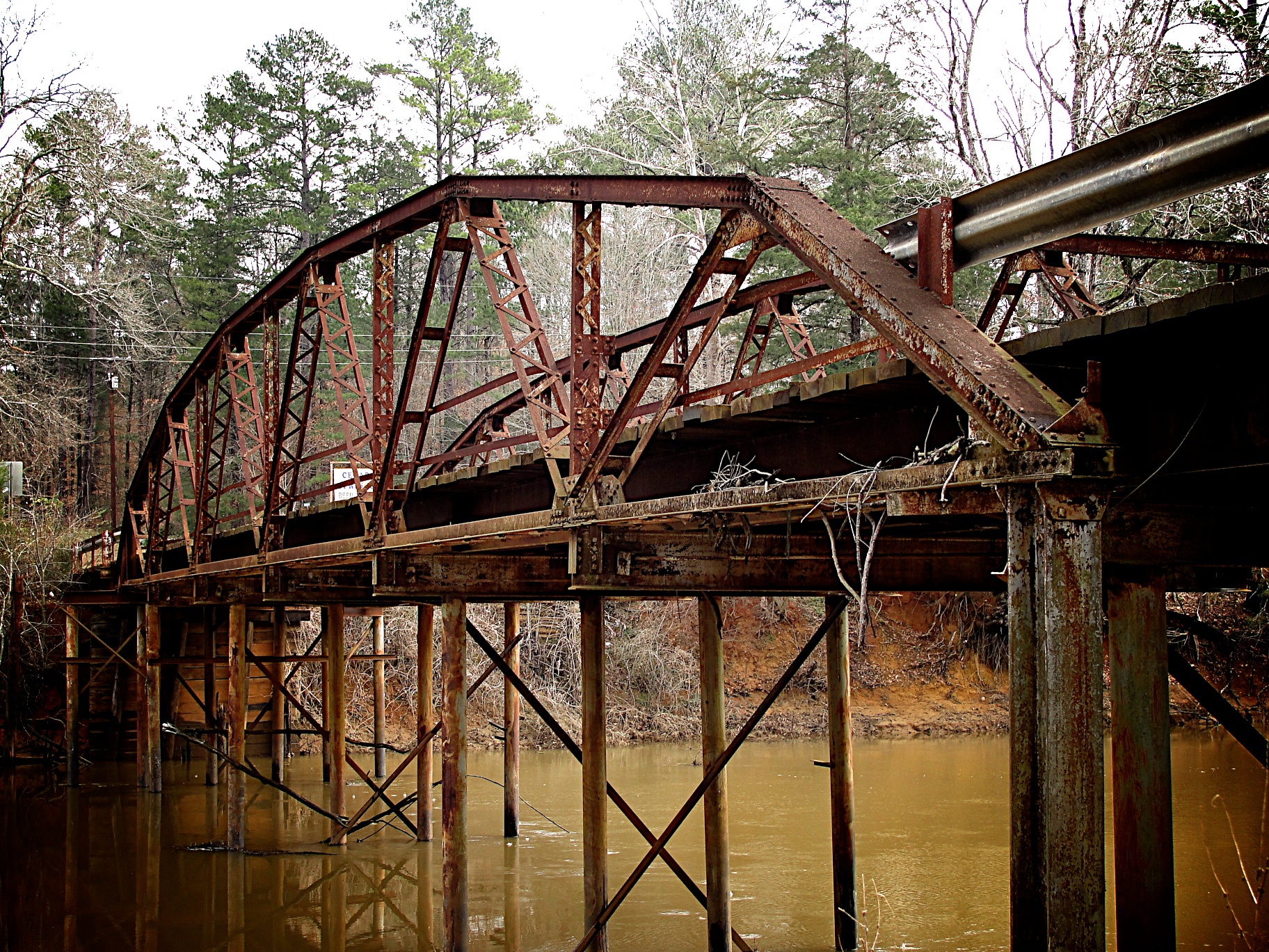
Goodman Bridge 2010
Goodman Bridge from the northwest

Sunset on the Lake

At Sunset 'Lake Nacogdoches'

September Sunnset At Lake Nacogdoches
Oh Angelina
Good Morning Angelina

It's Tme to end another one
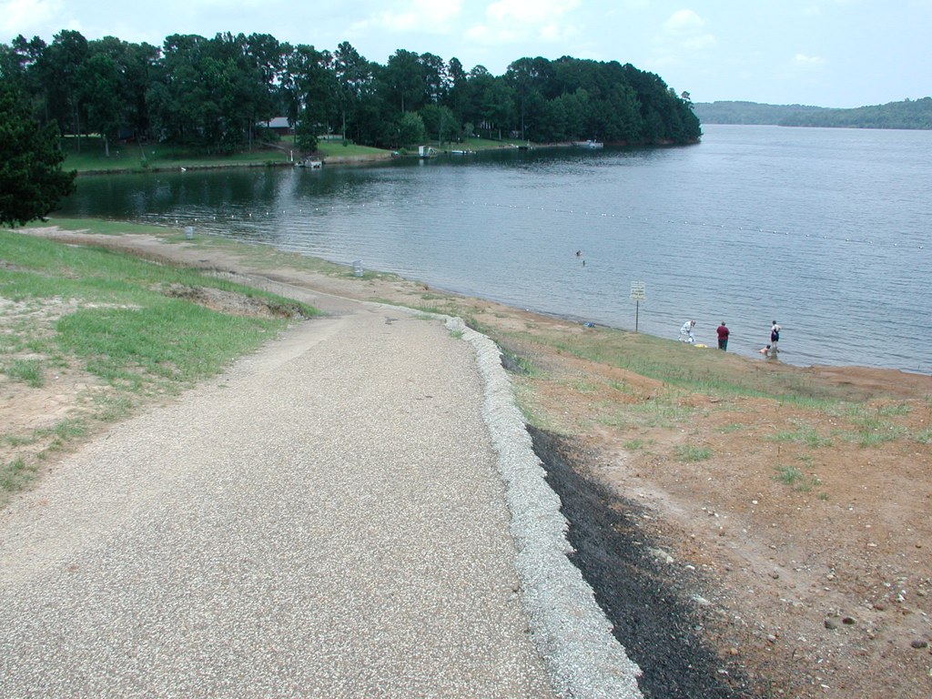
Nacogdoches Lake - Texas Drought
Nacogdoches Lake - Texas Drought
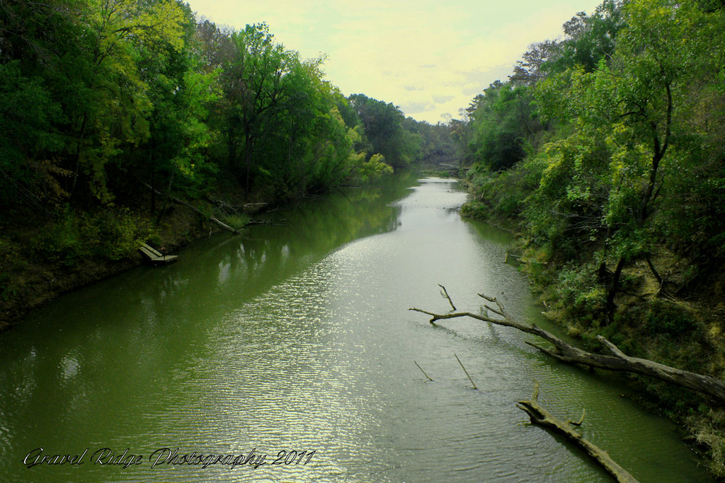
Down the Angelina
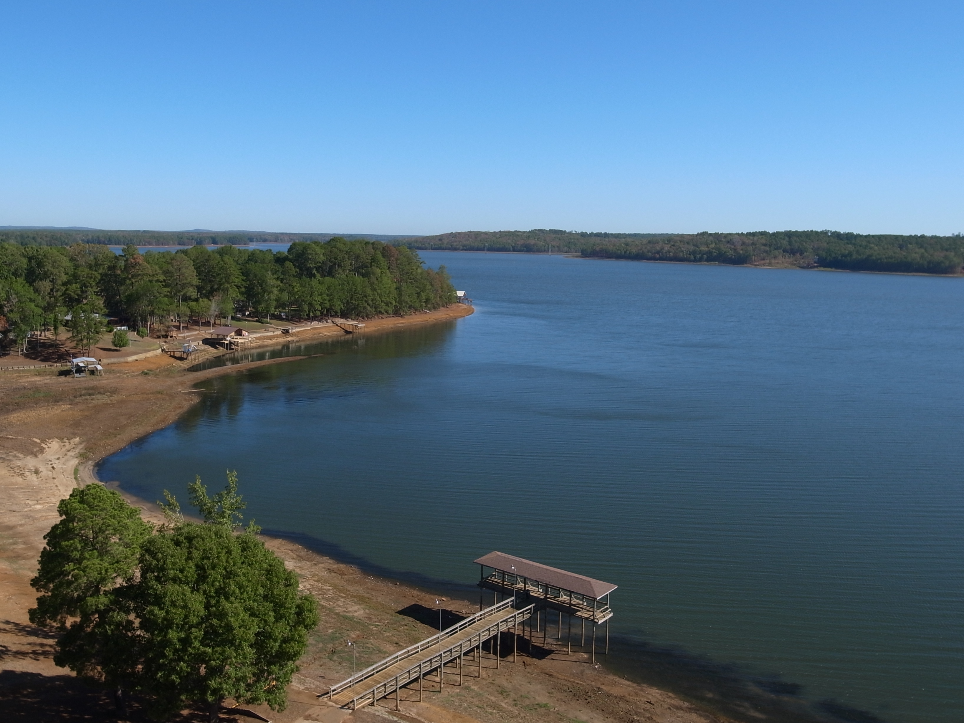
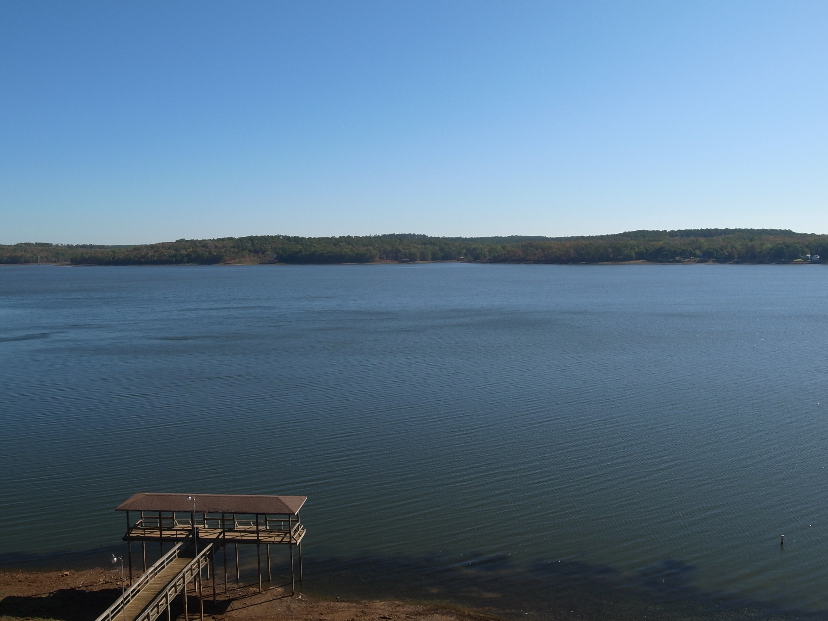
Nacogdoches Lake
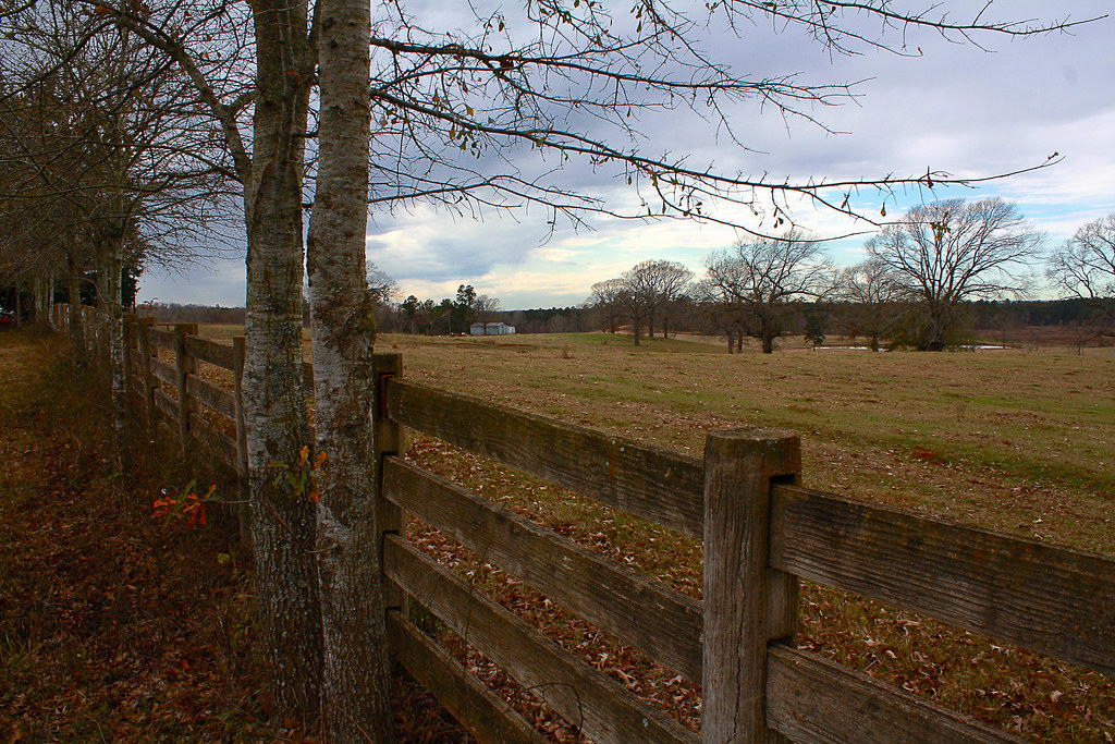
Farm in Looneyville, Texas
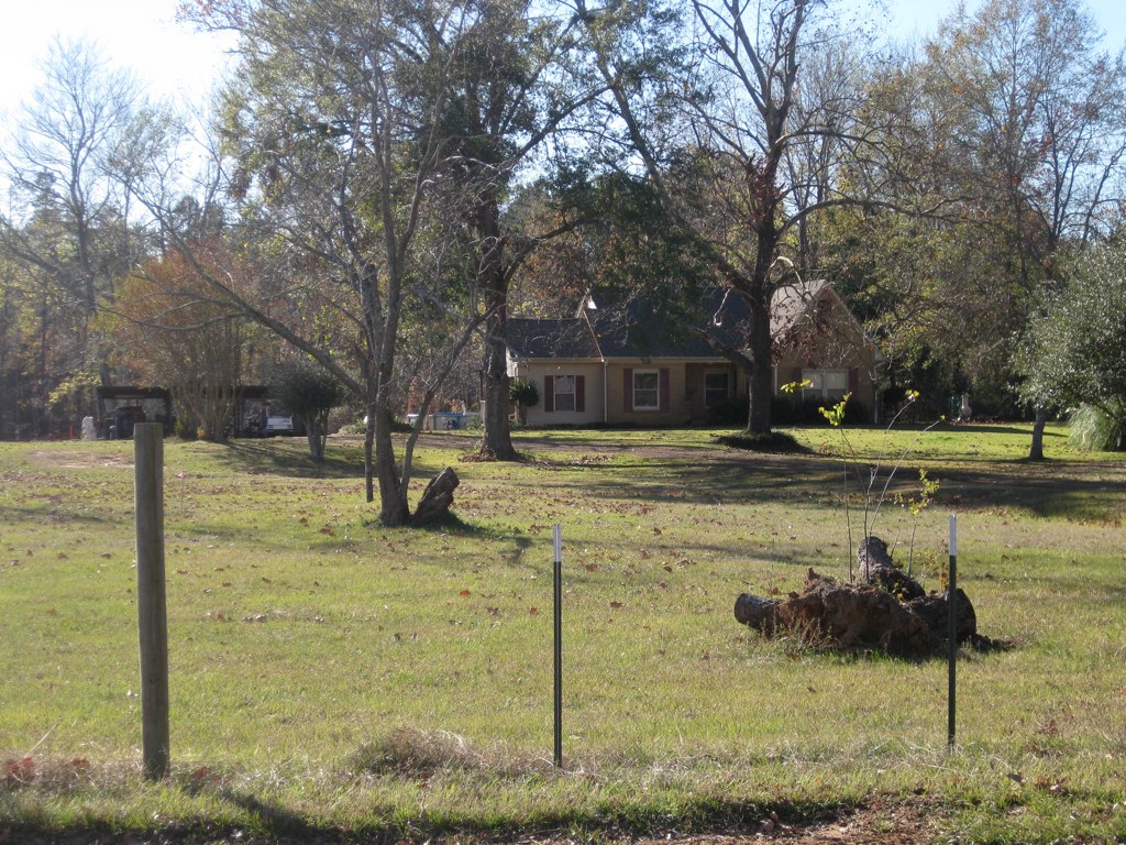
Old House Latest 2008
Topographic Map of TX-21, Douglass, TX, USA
Find elevation by address:

Places near TX-21, Douglass, TX, USA:
Douglass
511 County Rd 783
511 County Rd 783
12475 Tx-21
FM, Cushing, TX, USA
Cushing
Button Mountain
Alto
Forest
FM, Nacogdoches, TX, USA
County Road 723
5575 Co Rd 1201
Co Rd, Nacogdoches, TX, USA
Reklaw
County Road 2406
10317 Us-259
977 Co Rd 1322
Pollok
County Road 1102
2722 Durst St
Recent Searches:
- Elevation of Hercules Dr, Colorado Springs, CO, USA
- Elevation of Szlak pieszy czarny, Poland
- Elevation of Griffing Blvd, Biscayne Park, FL, USA
- Elevation of Kreuzburger Weg 13, Düsseldorf, Germany
- Elevation of Gateway Blvd SE, Canton, OH, USA
- Elevation of East W.T. Harris Boulevard, E W.T. Harris Blvd, Charlotte, NC, USA
- Elevation of West Sugar Creek, Charlotte, NC, USA
- Elevation of Wayland, NY, USA
- Elevation of Steadfast Ct, Daphne, AL, USA
- Elevation of Lagasgasan, X+CQH, Tiaong, Quezon, Philippines